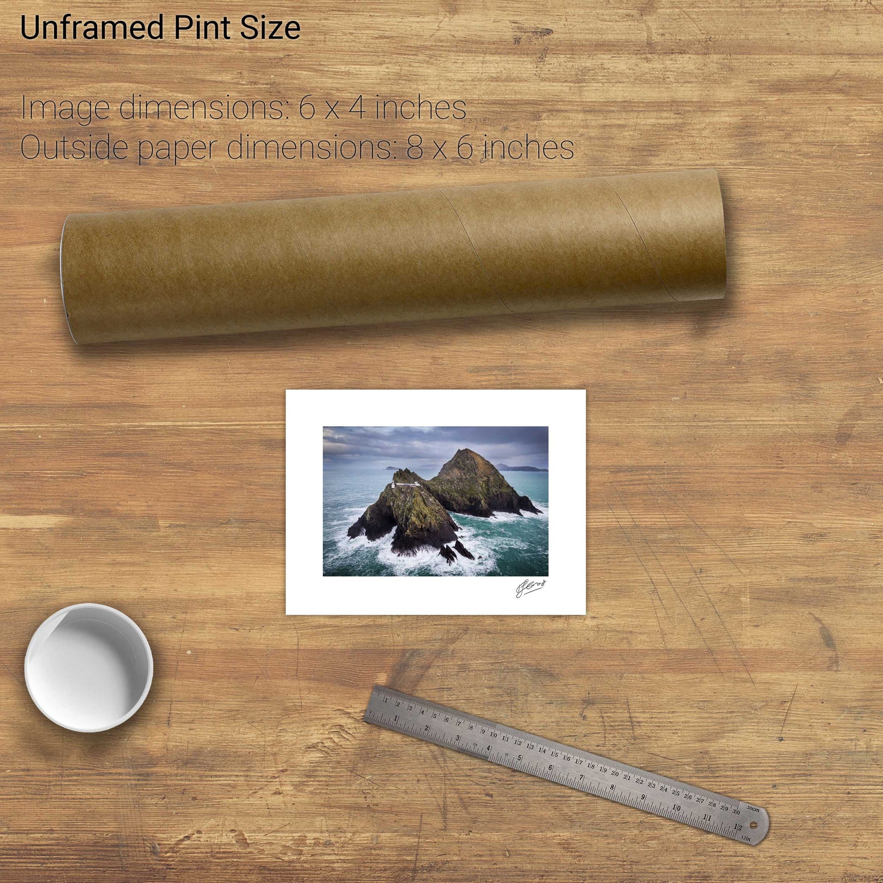
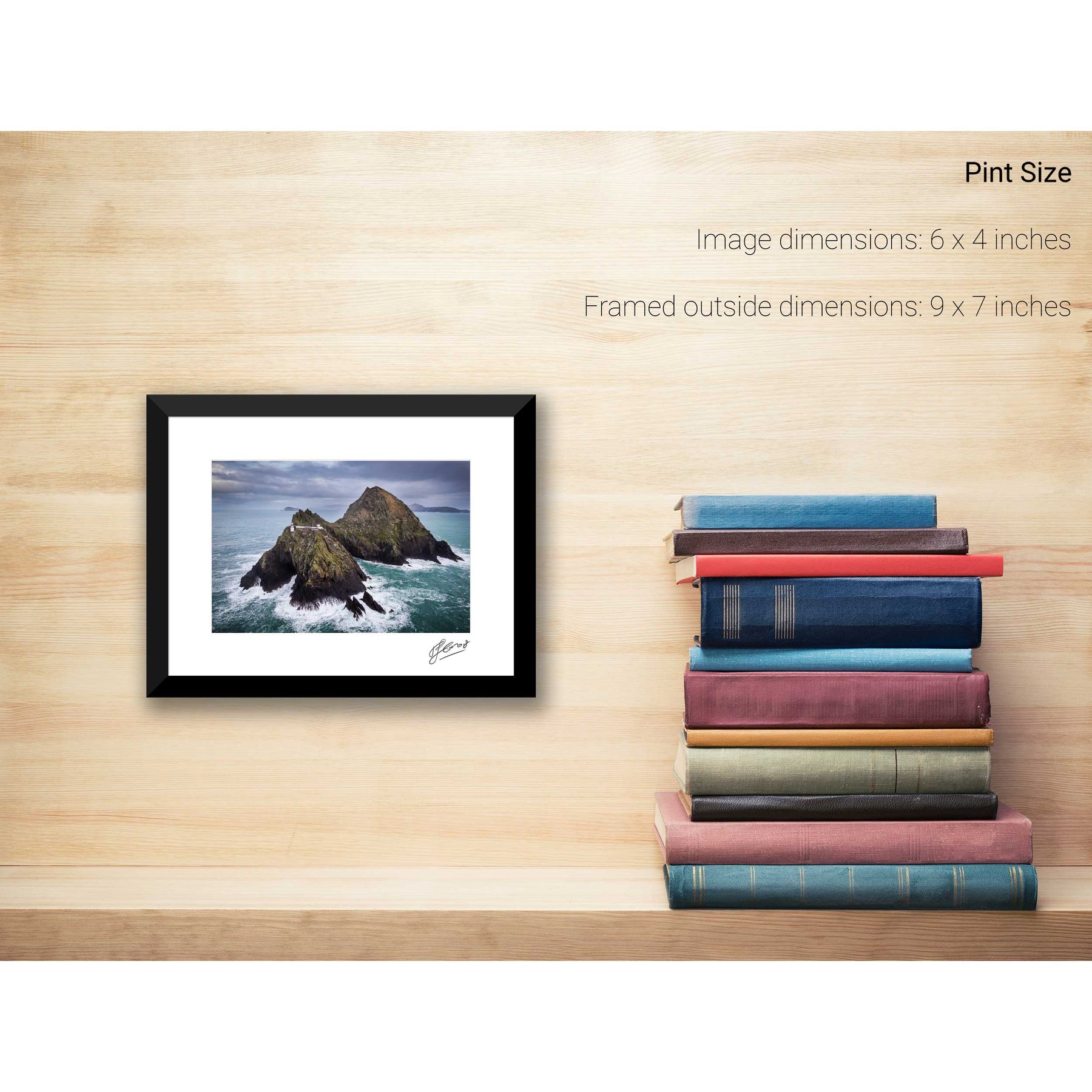
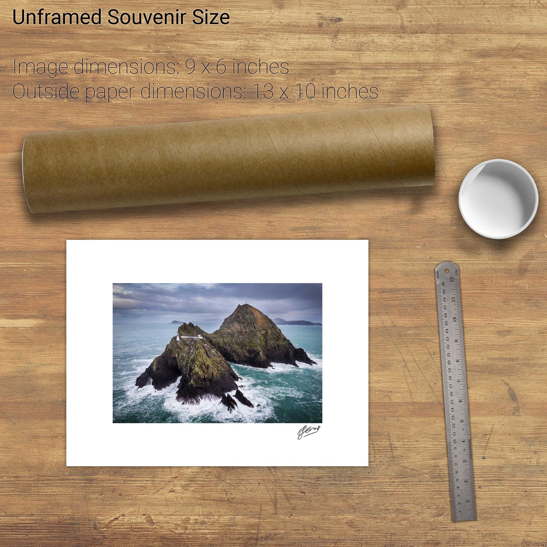
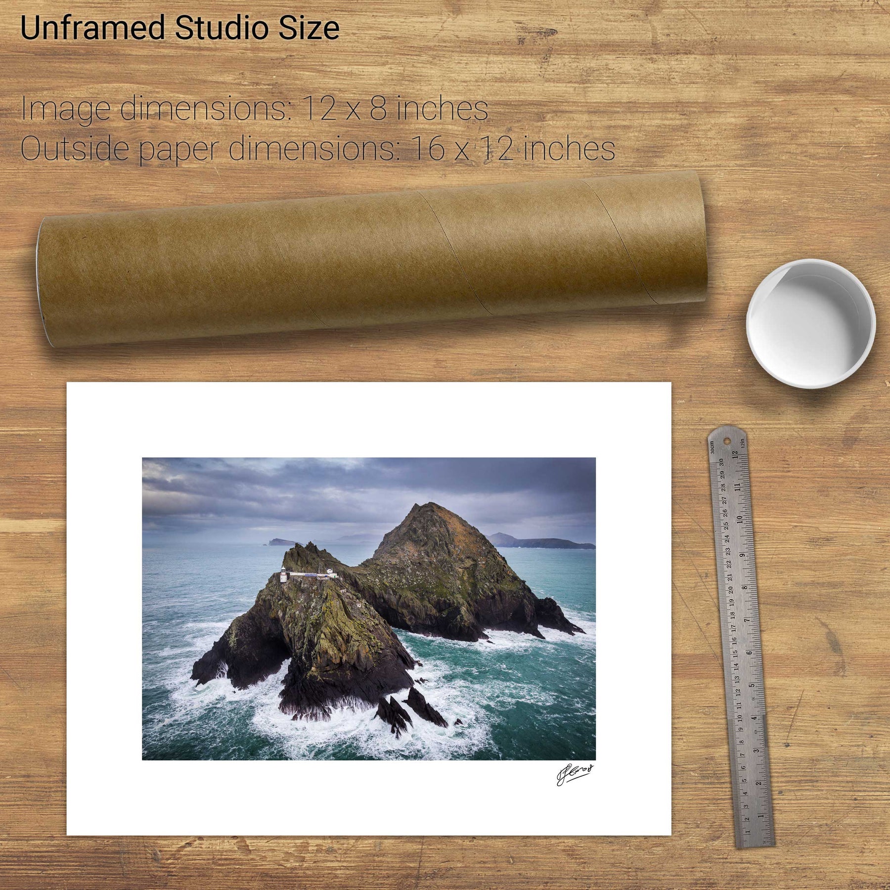
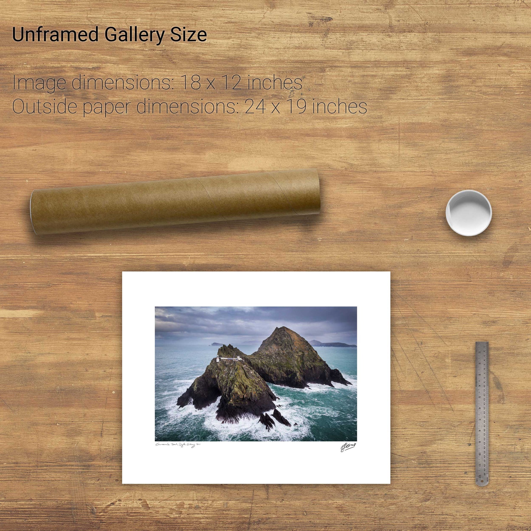
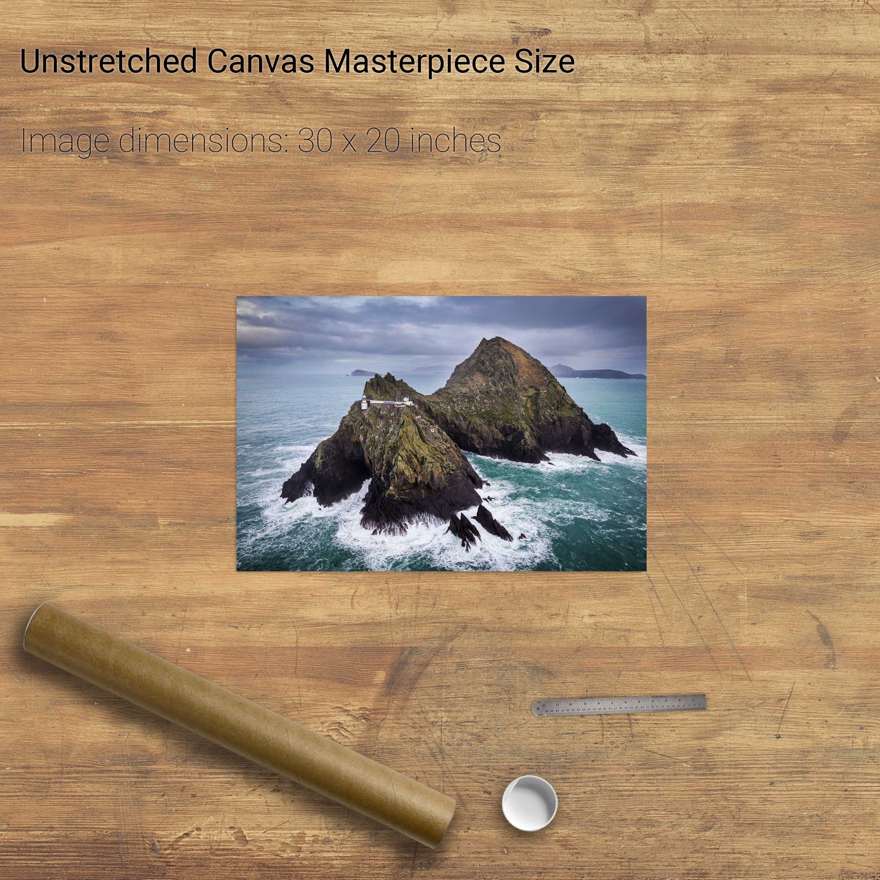
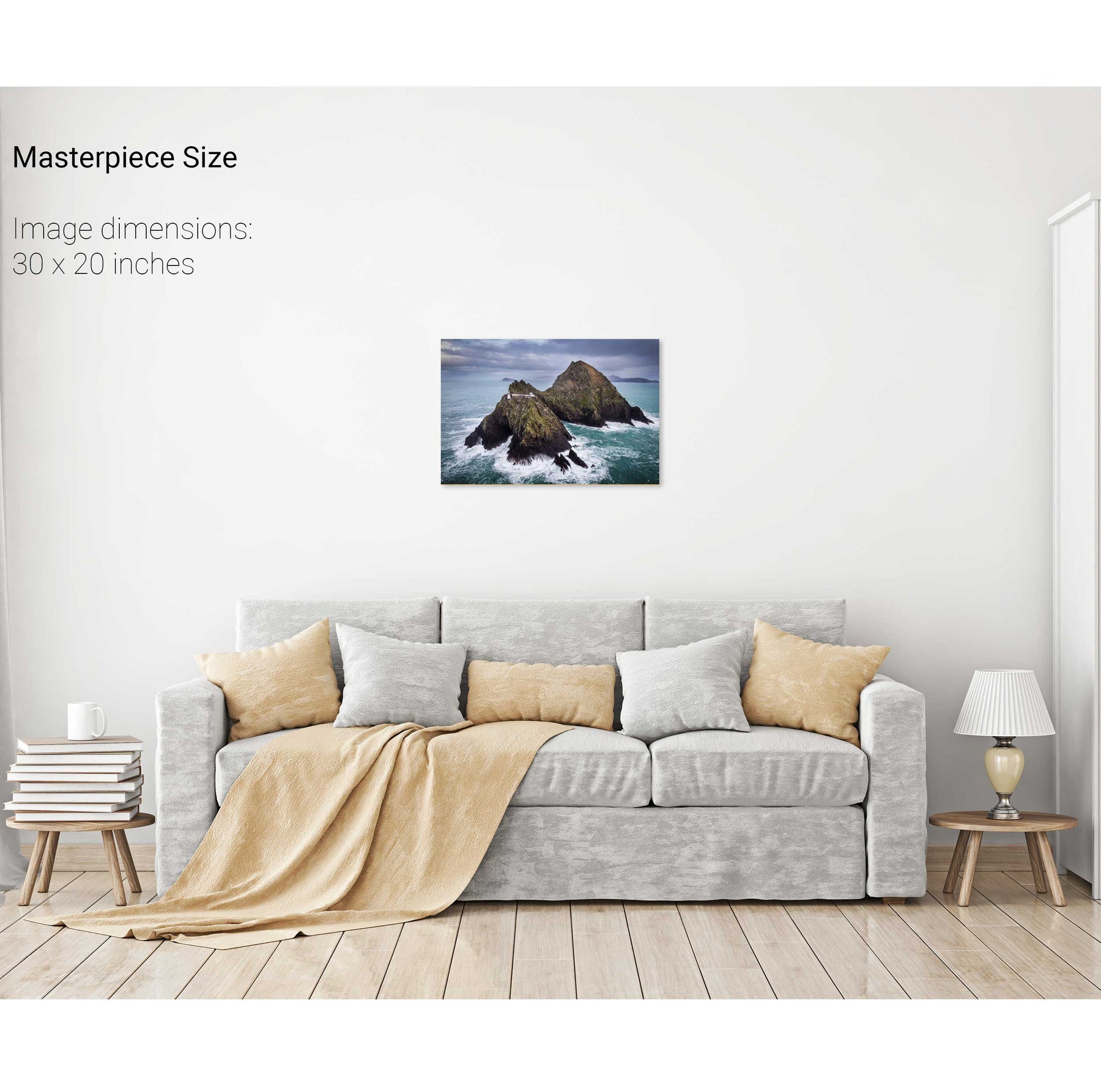
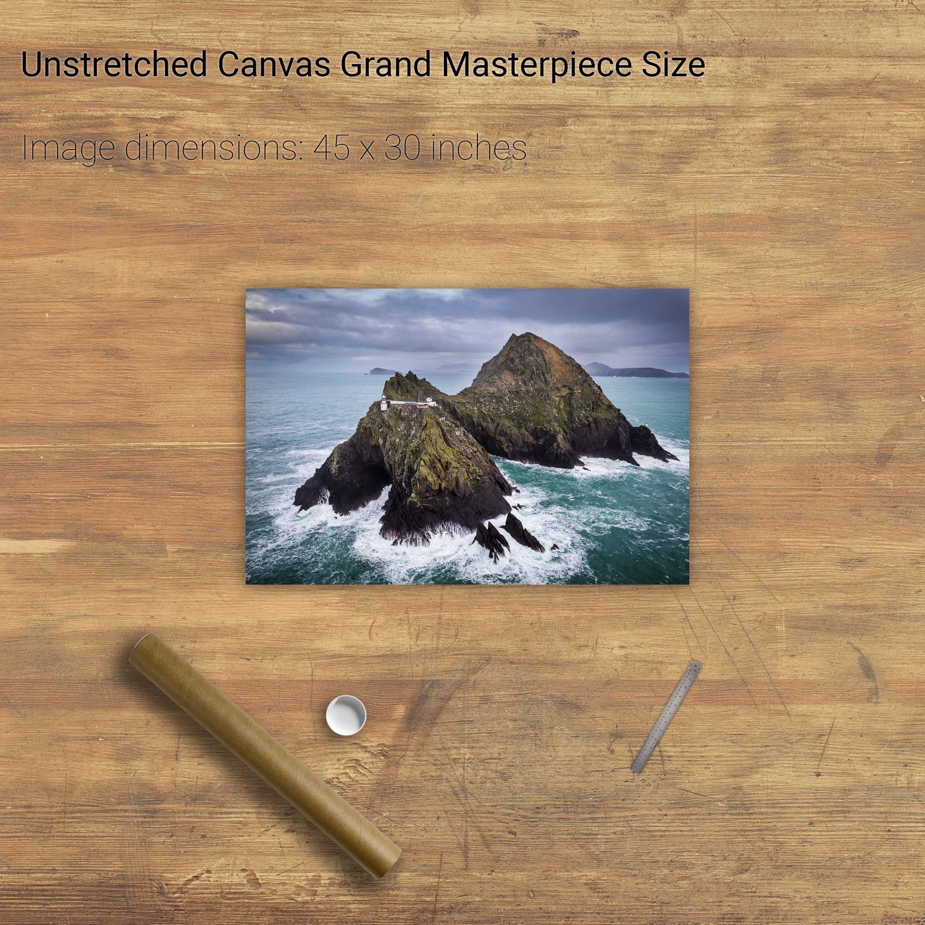
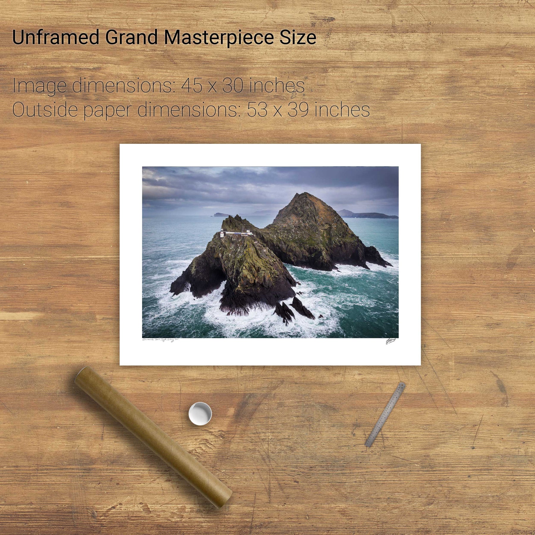
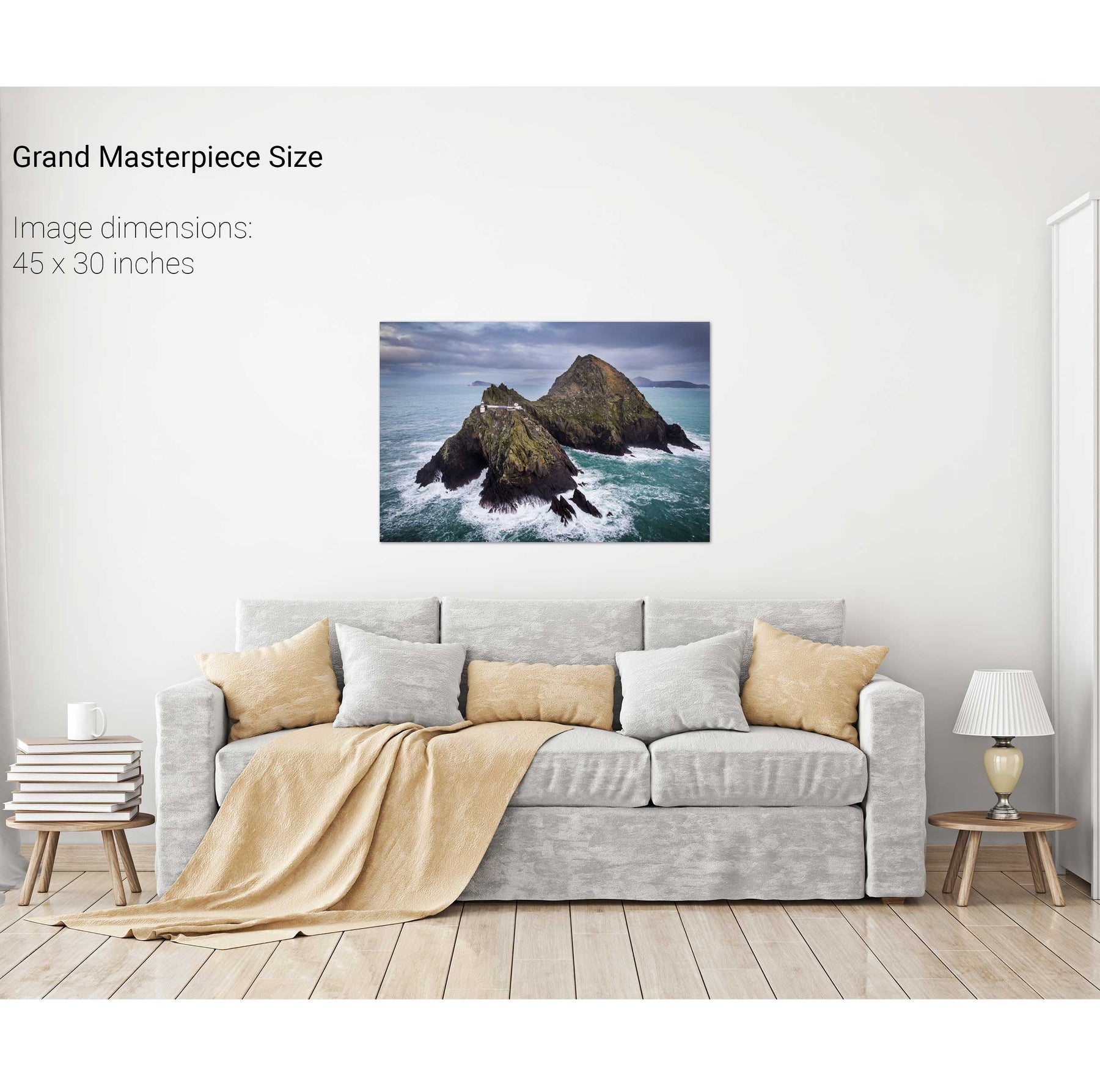
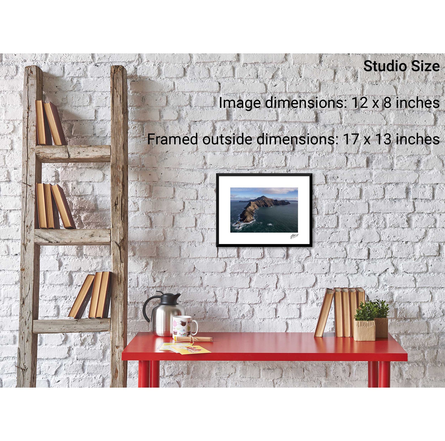
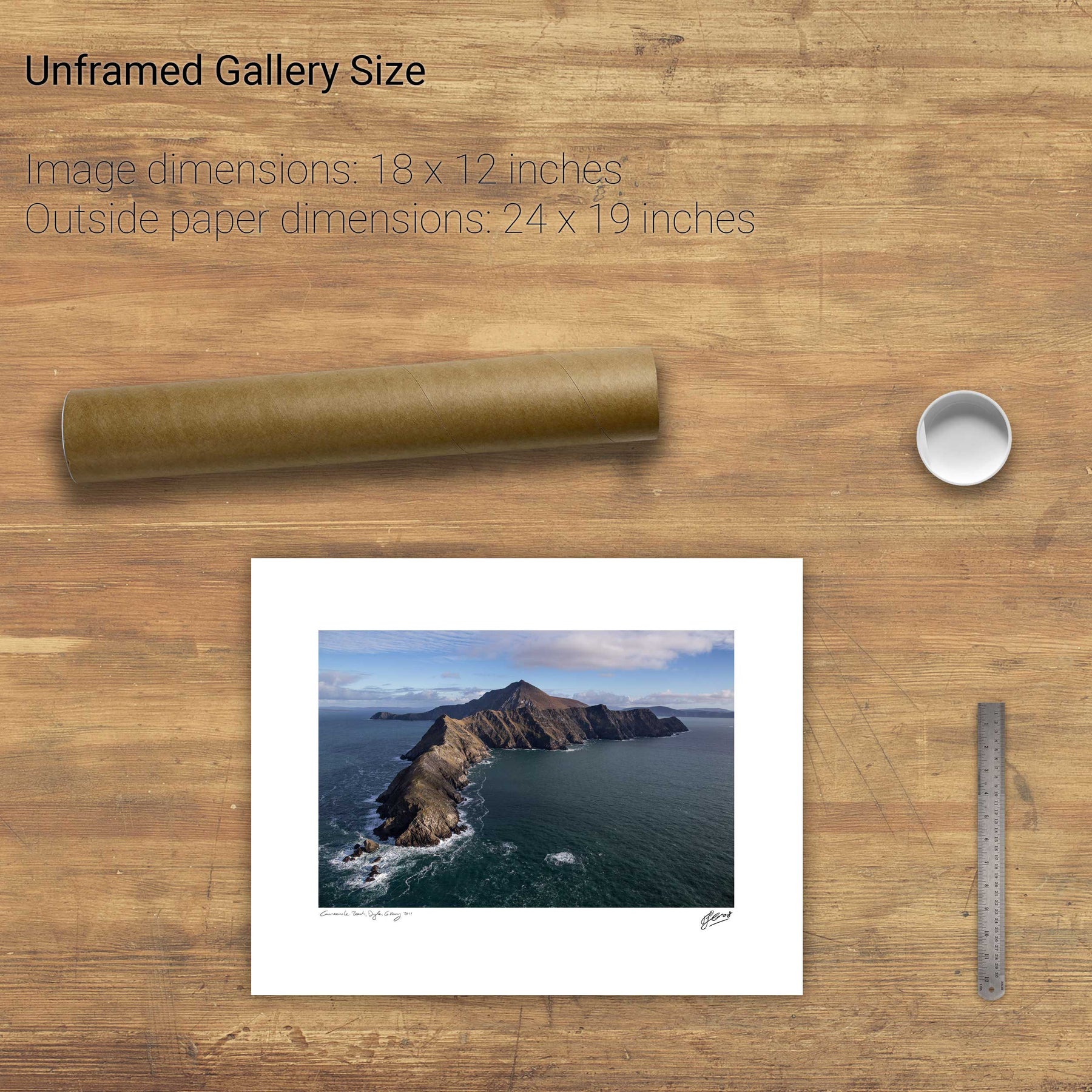
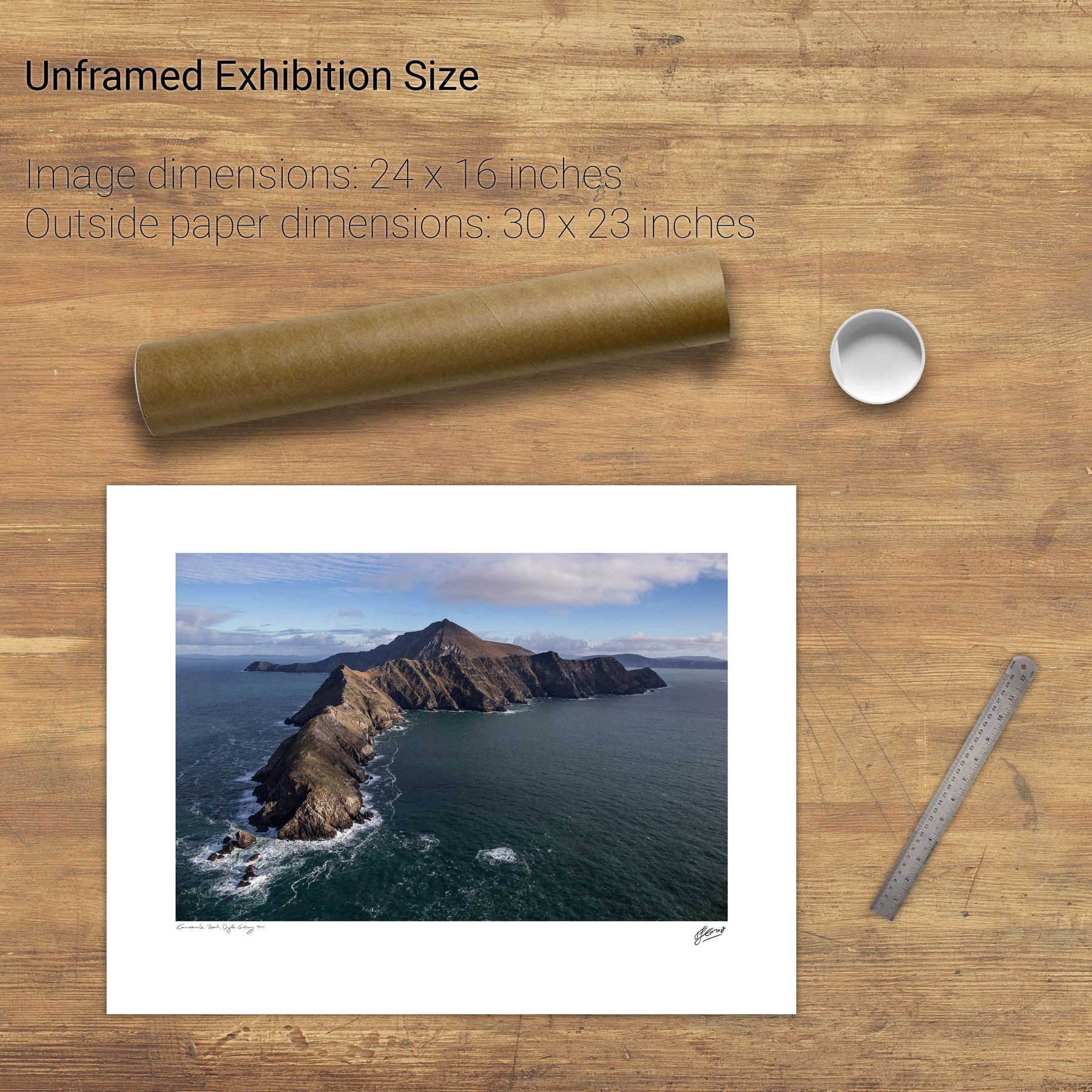
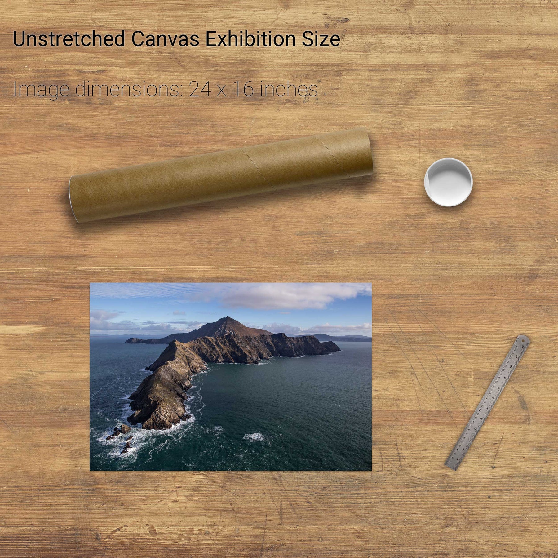
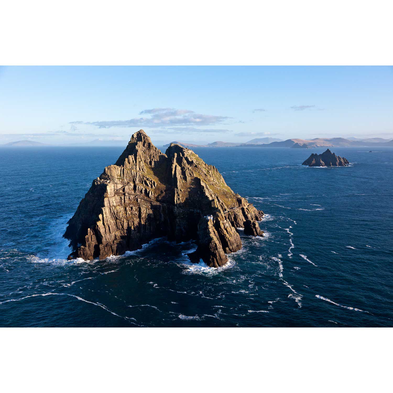
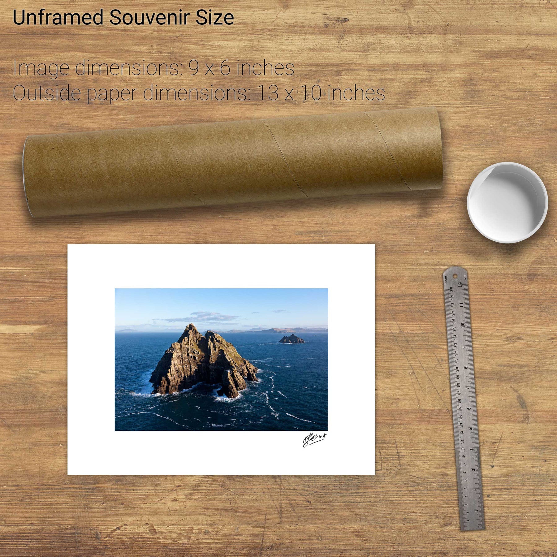
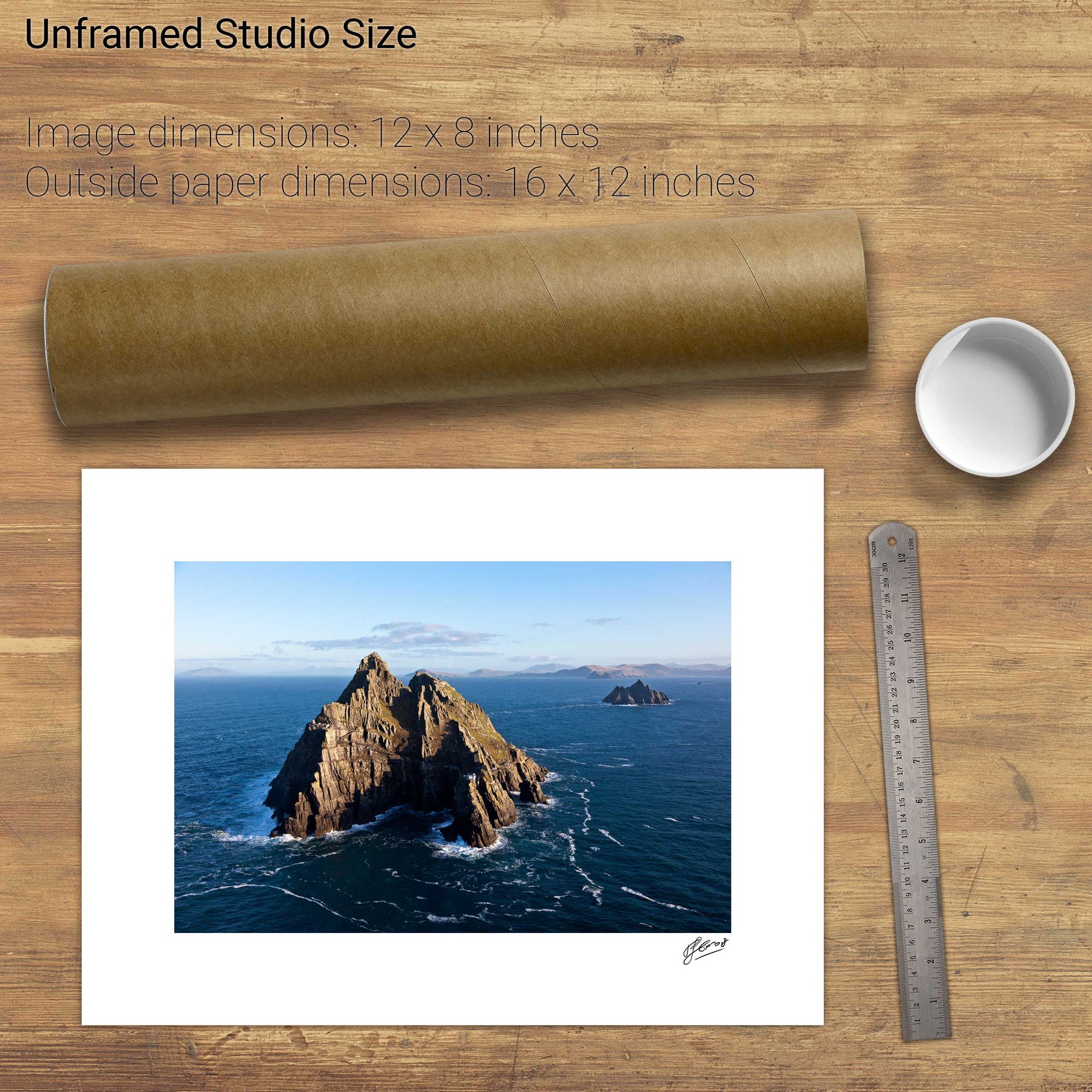
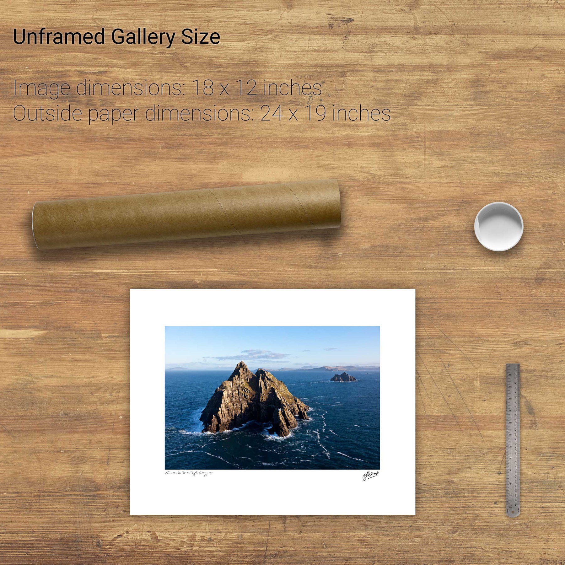
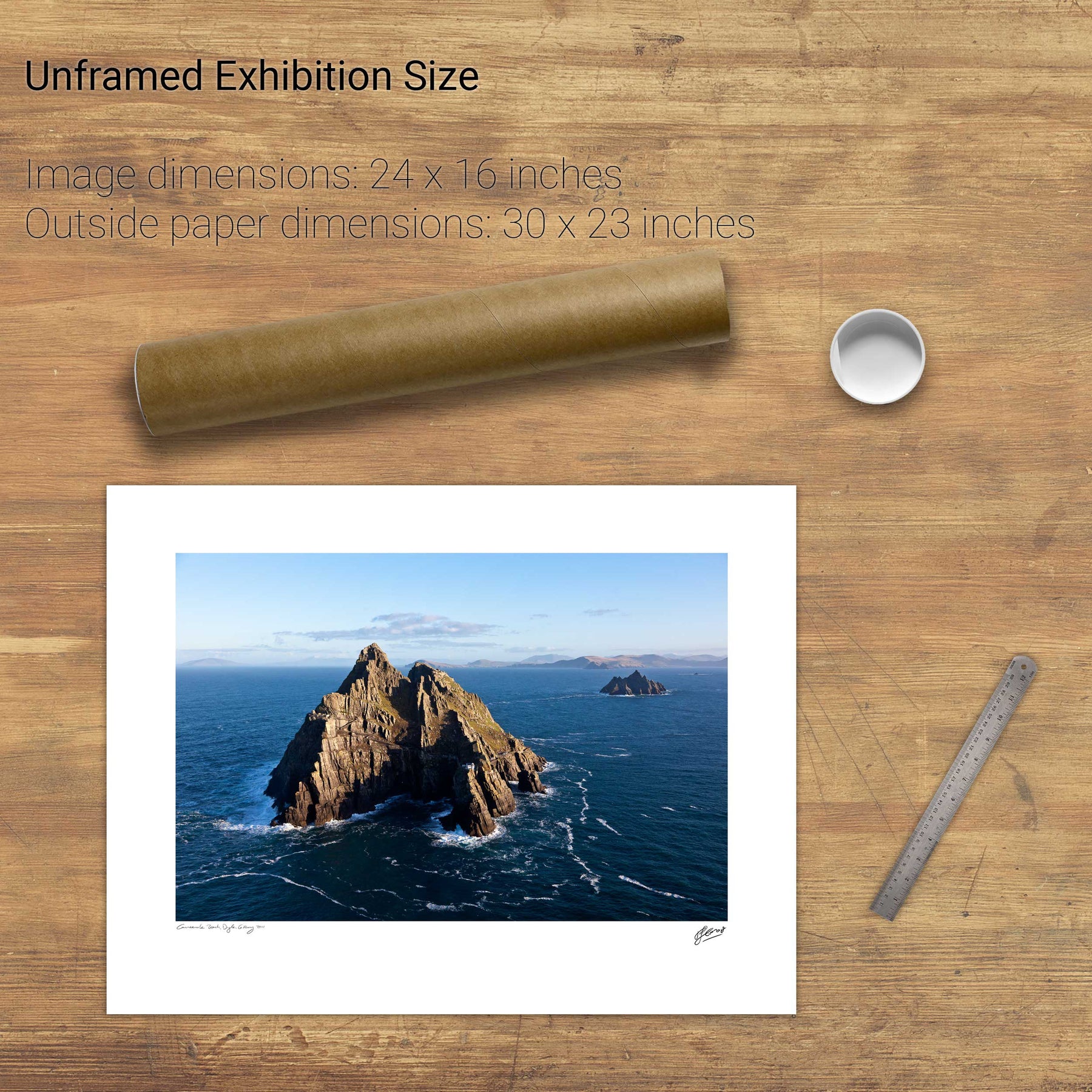
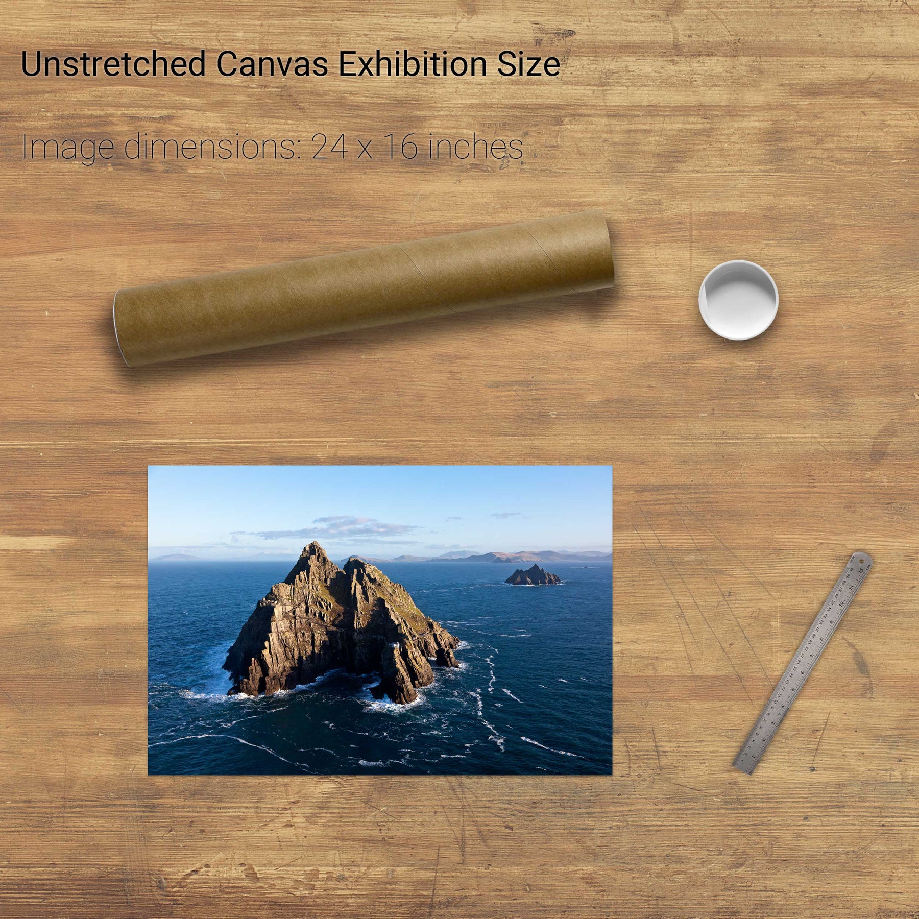
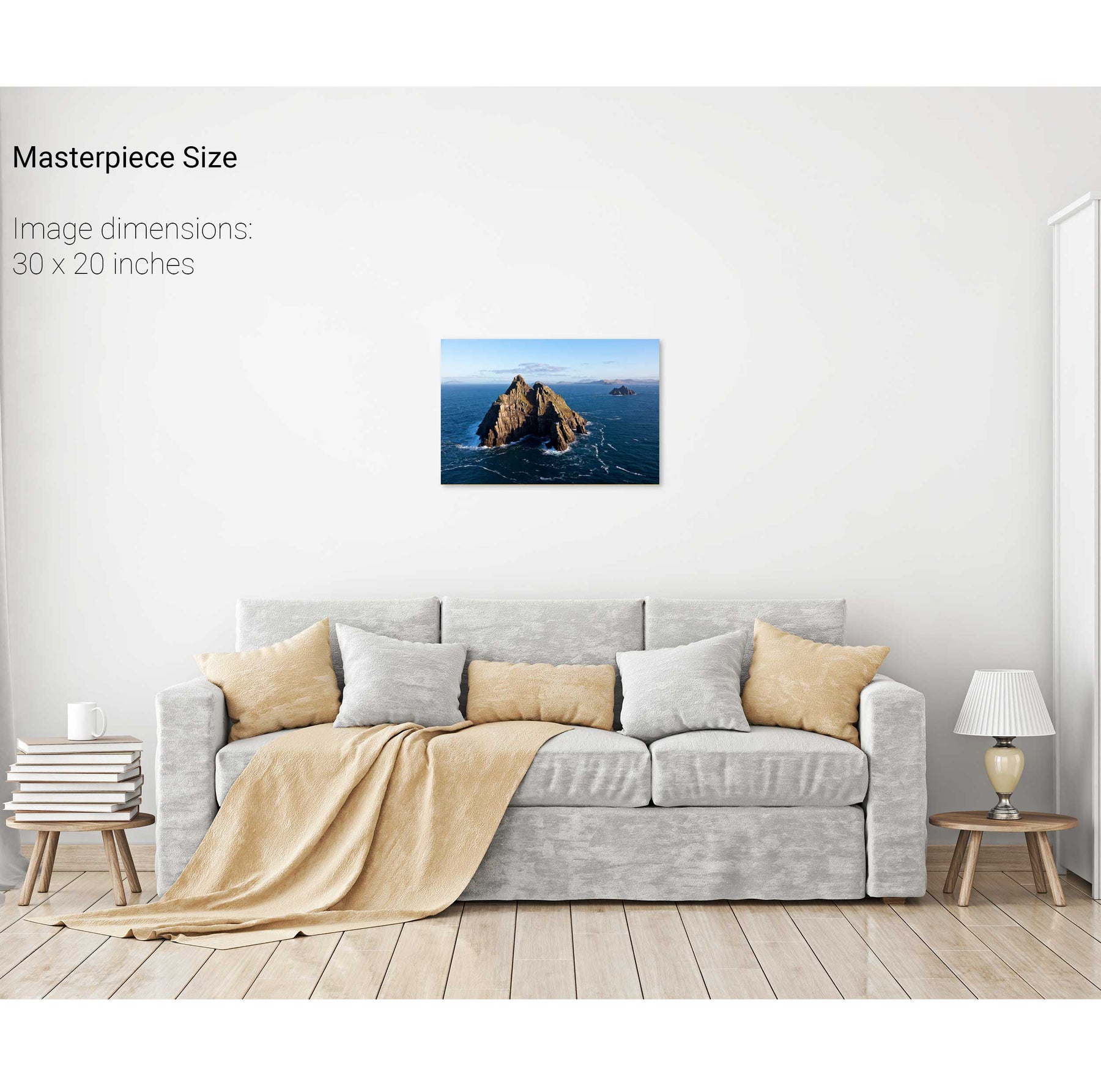
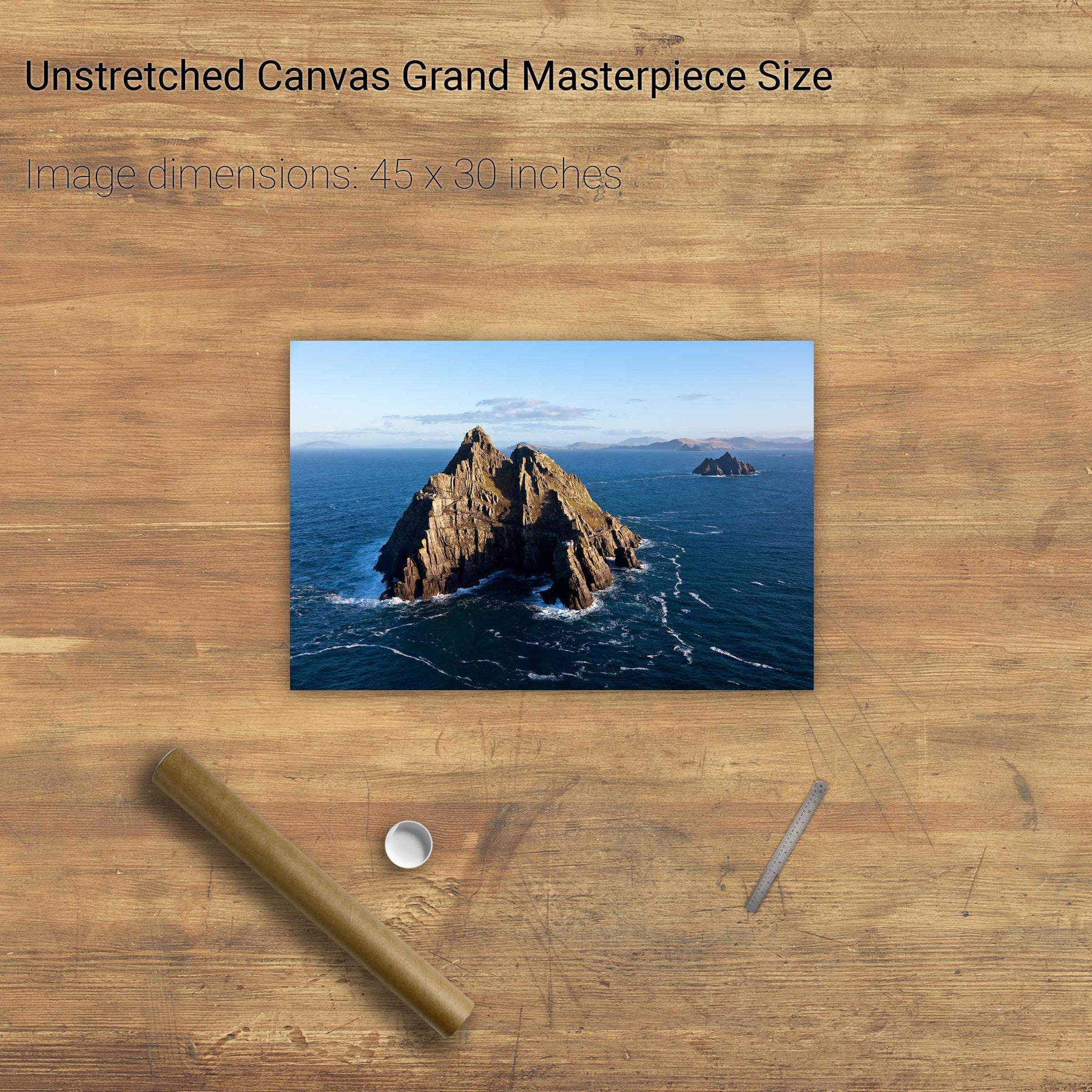
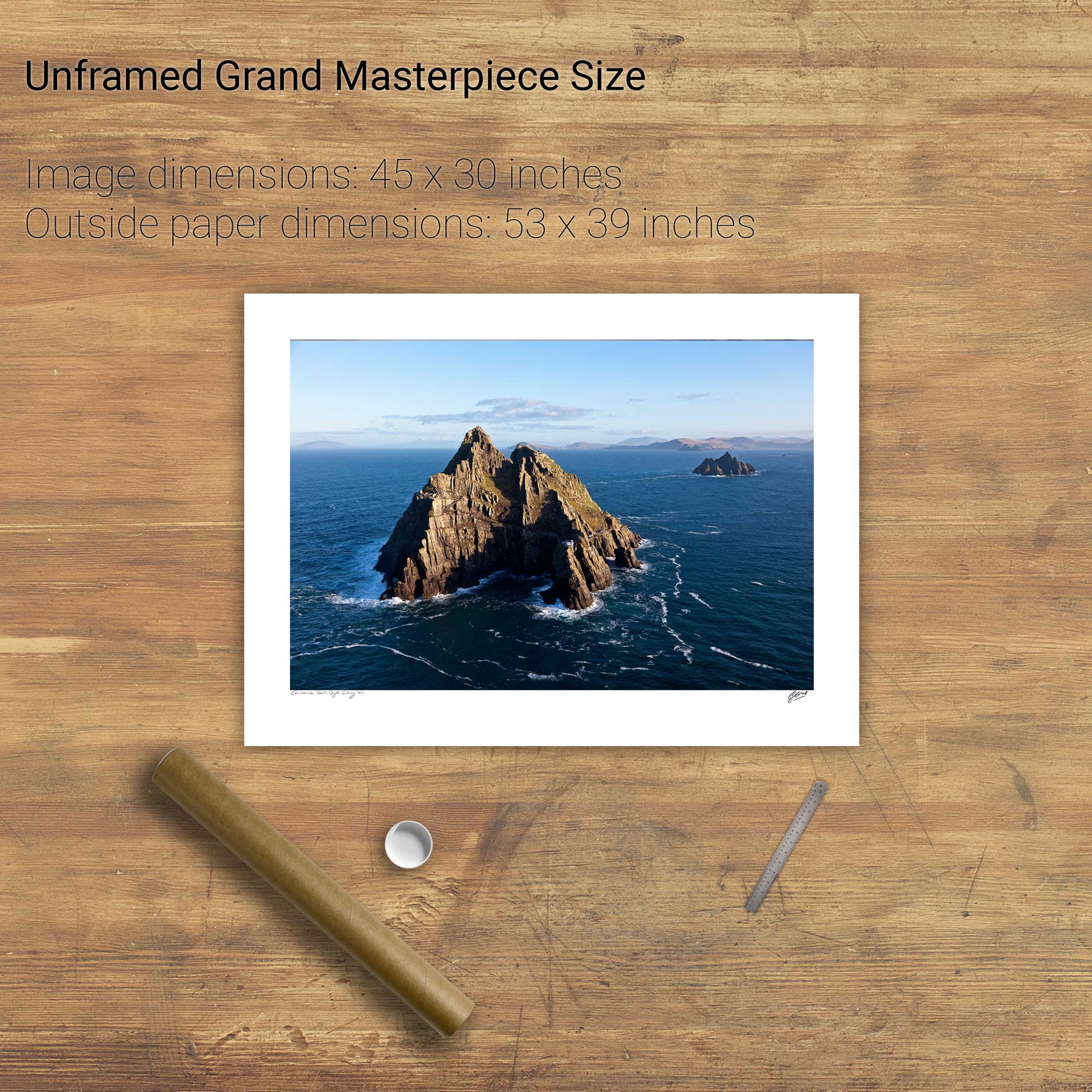
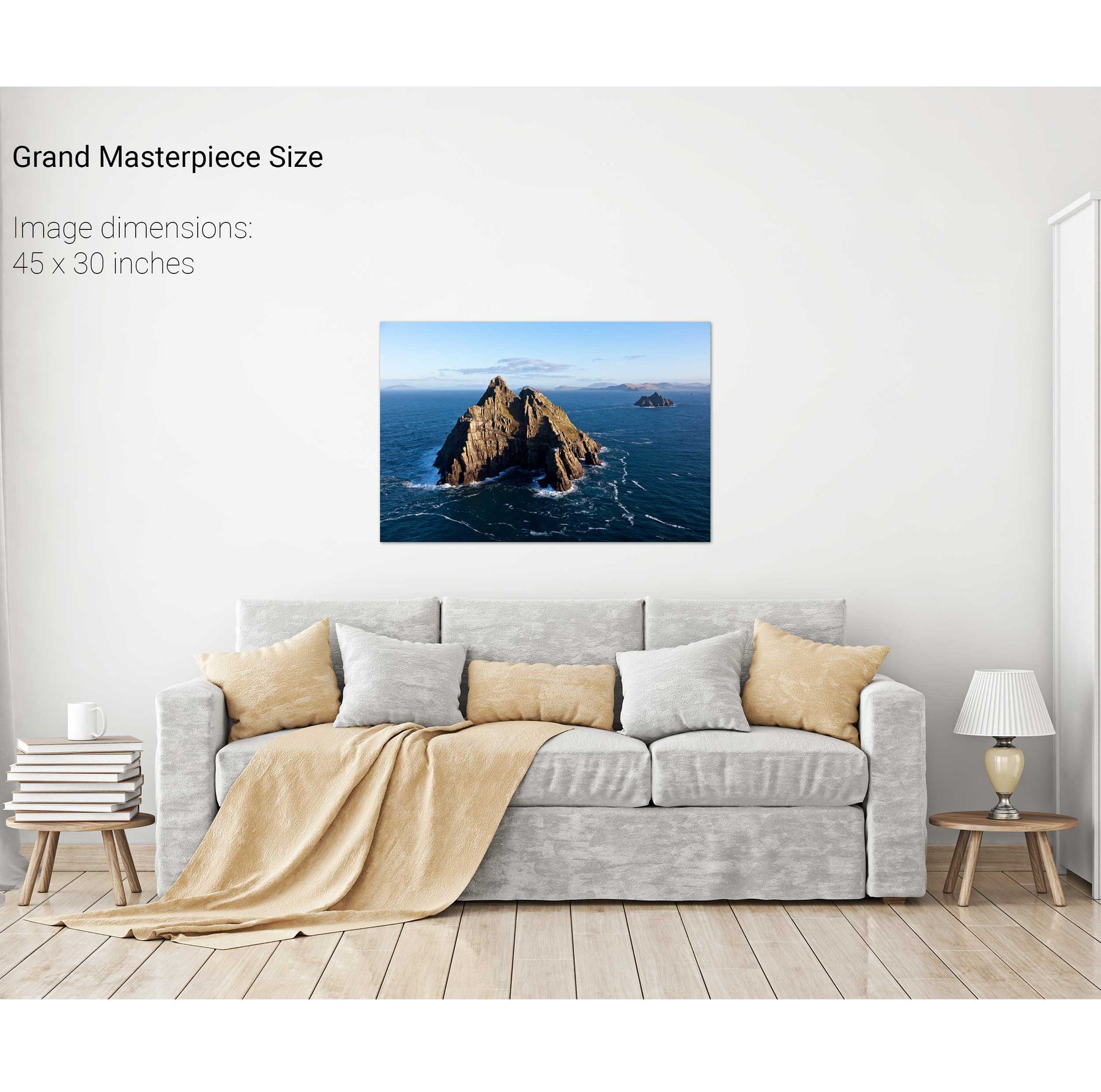
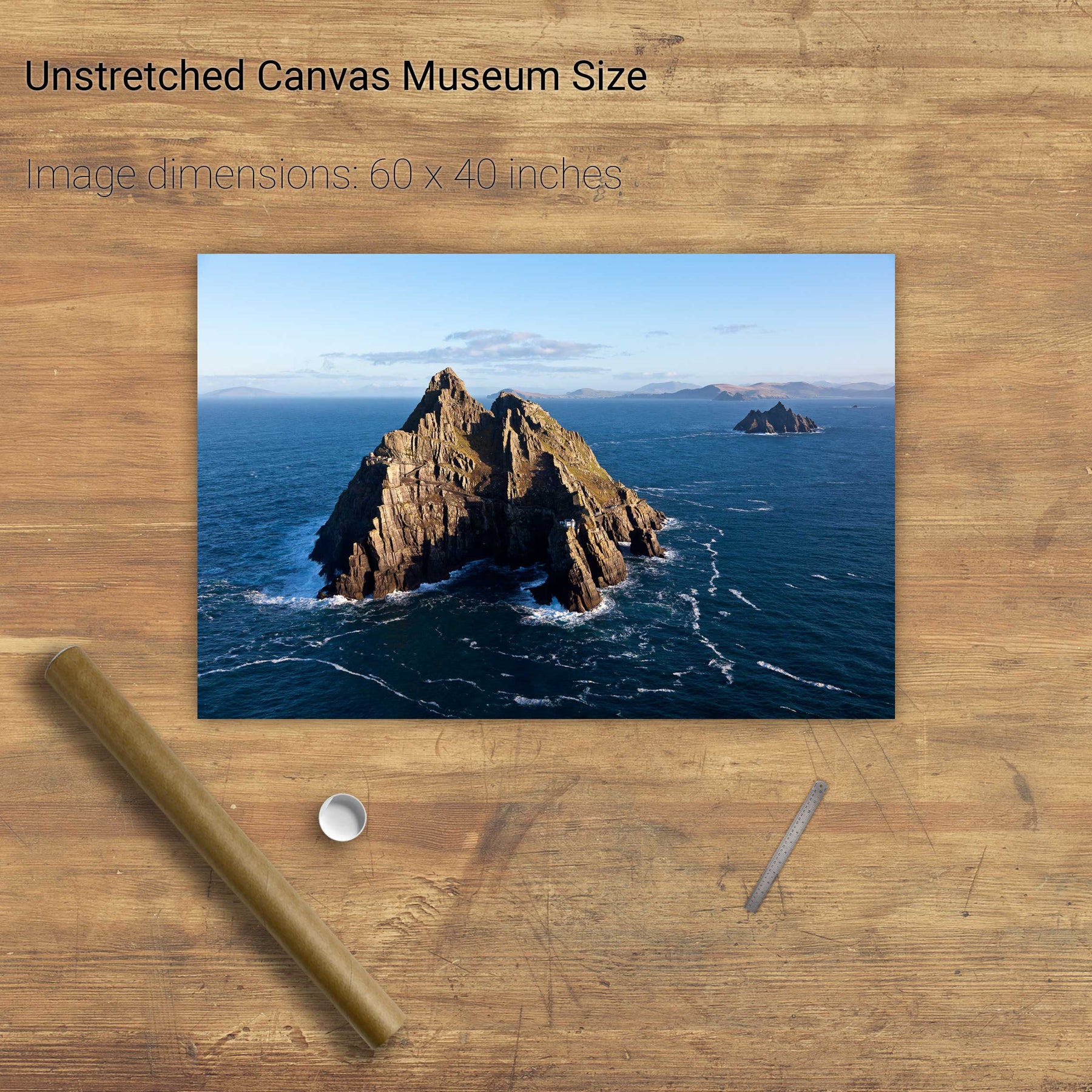
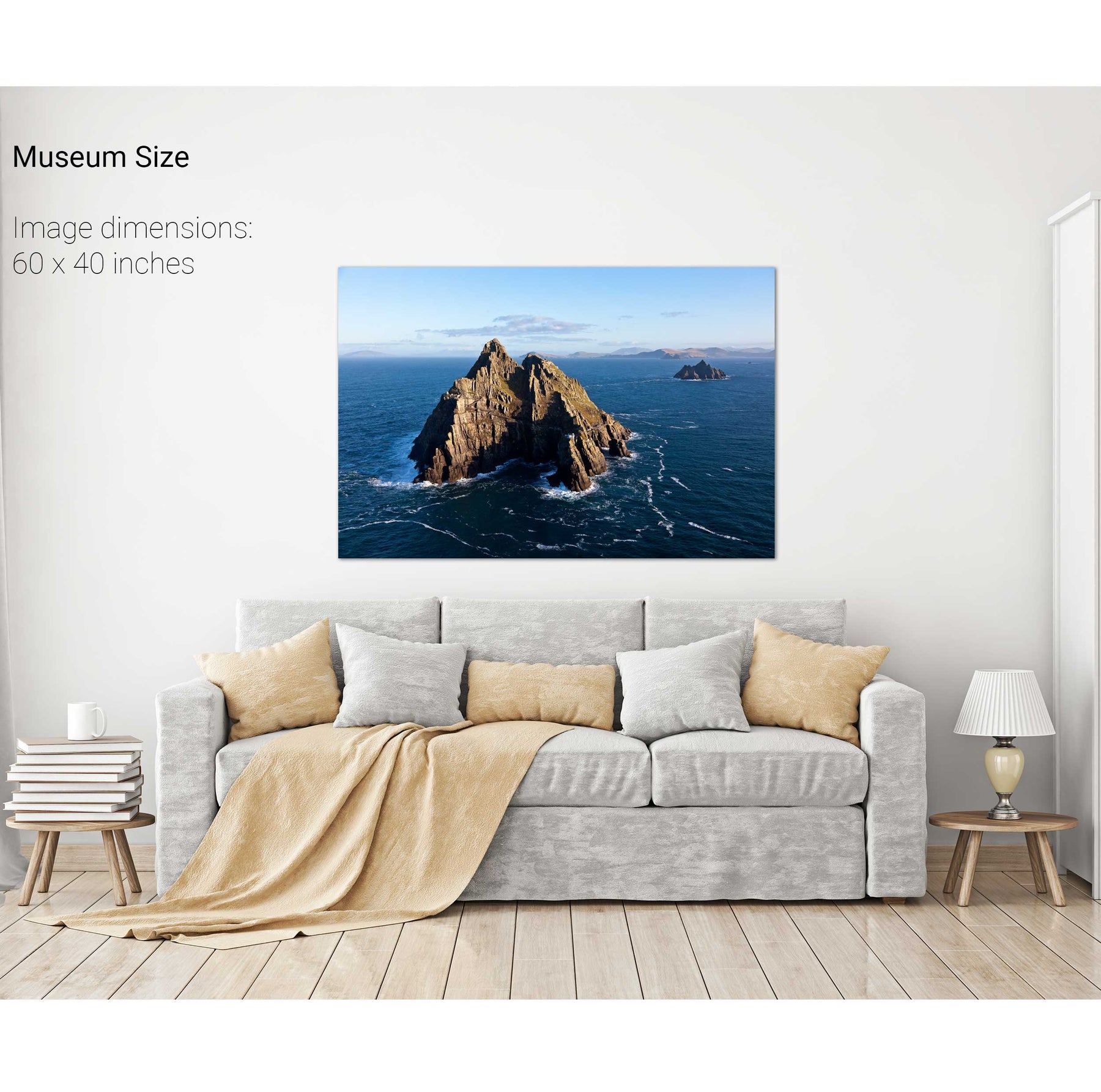
The Skelligs, Co. Kerry


We will send you an email to reset your password.

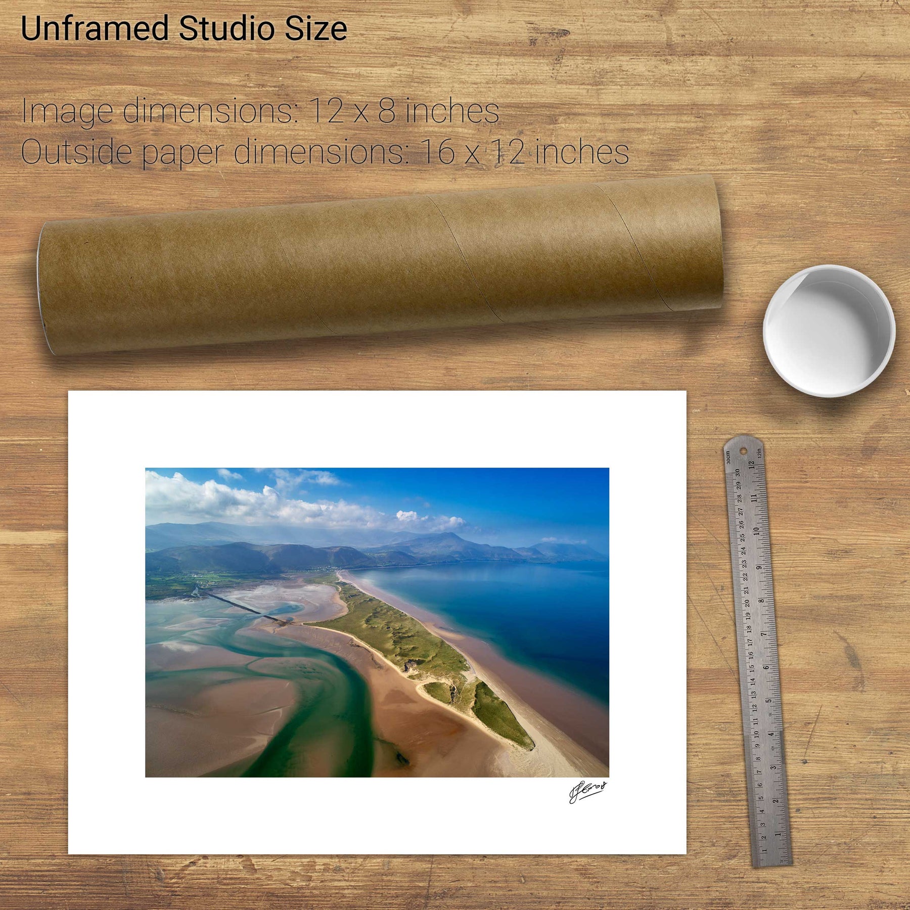
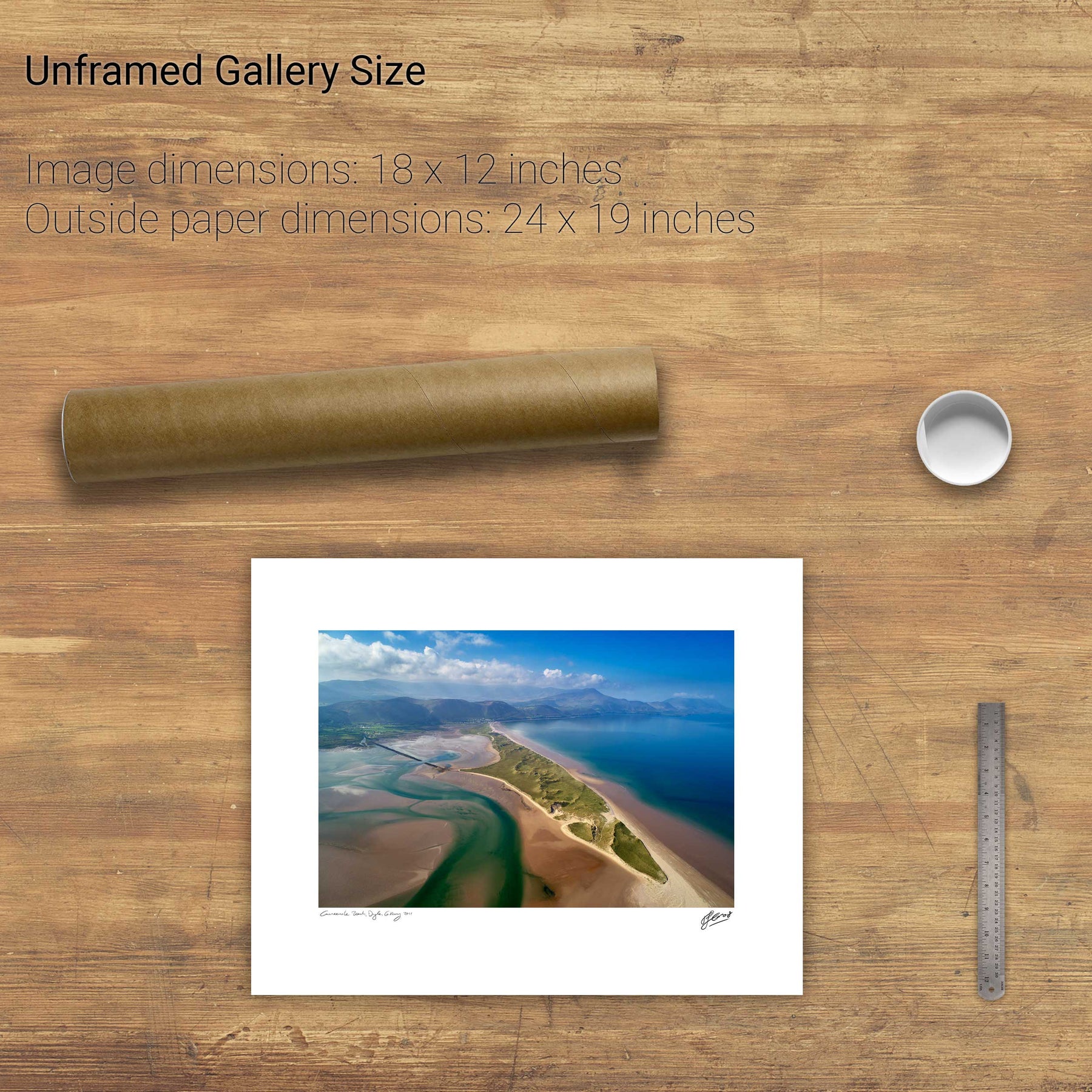
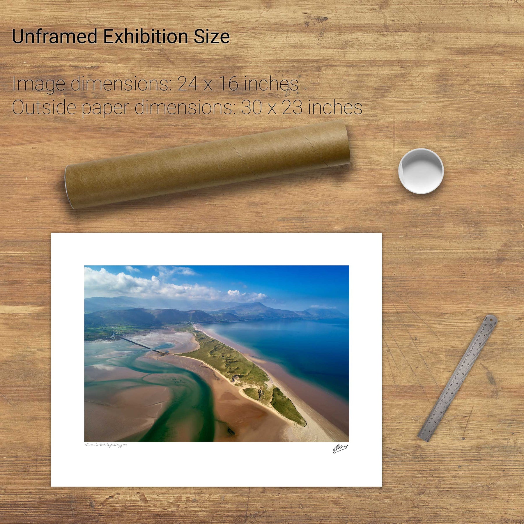
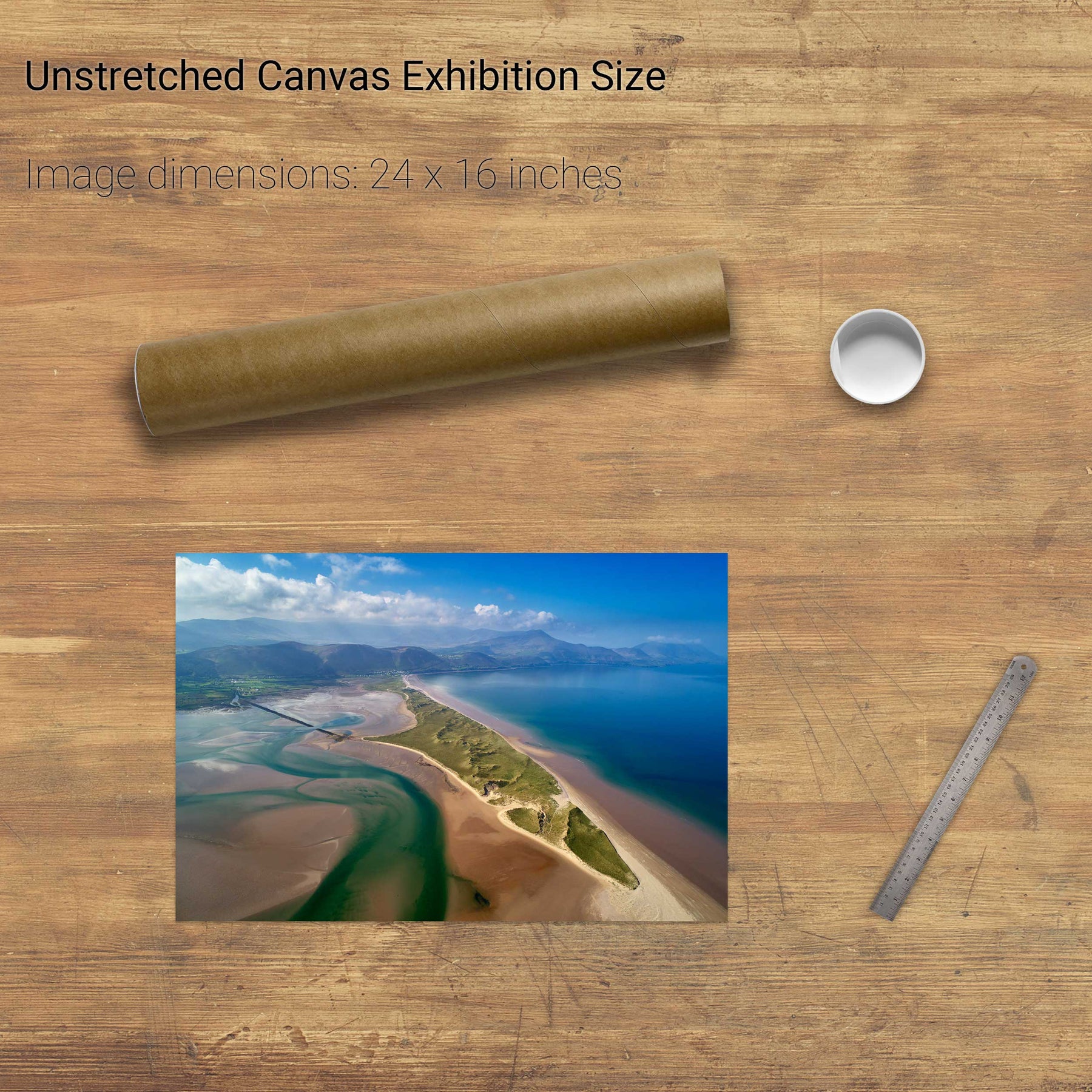
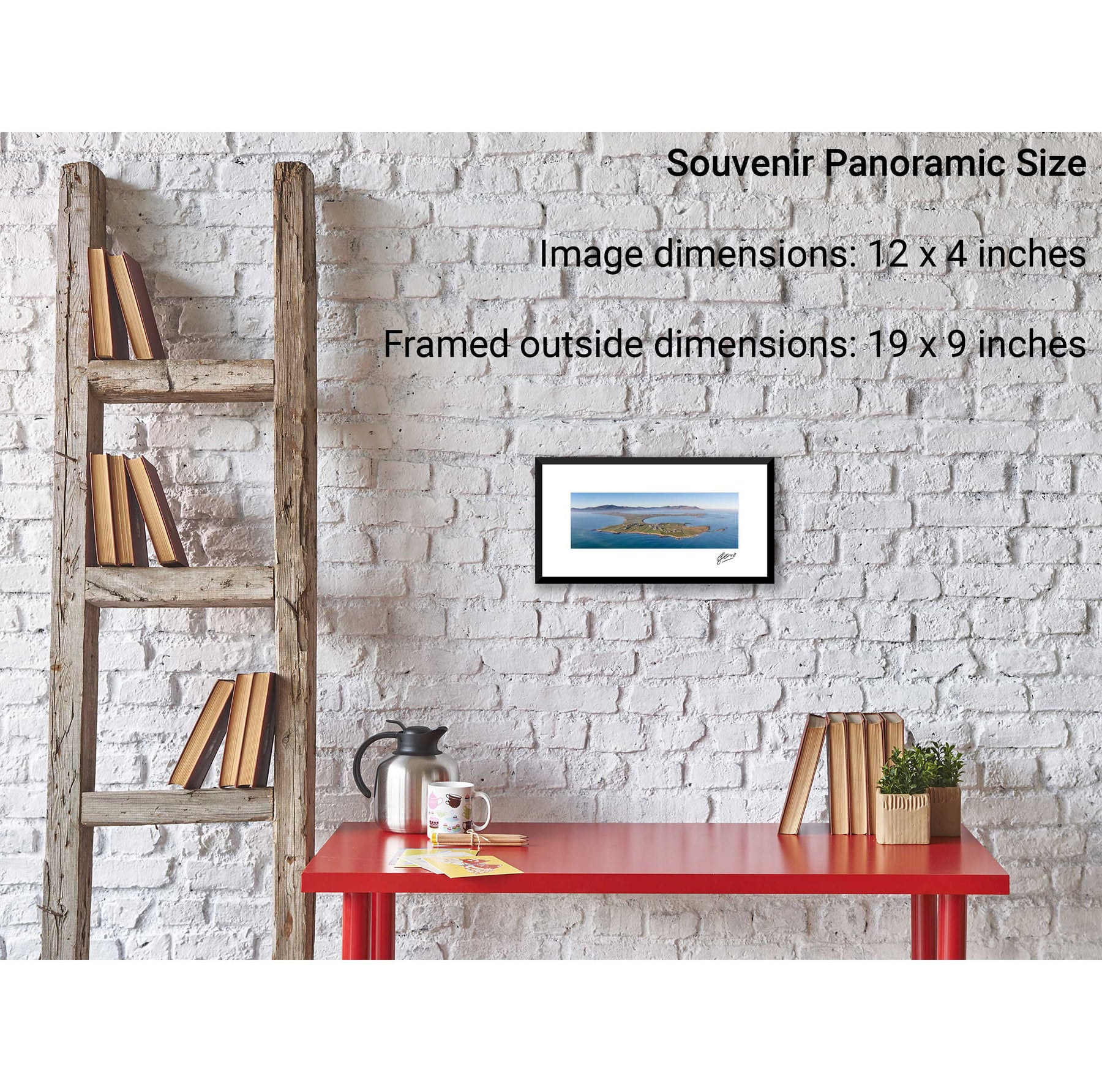
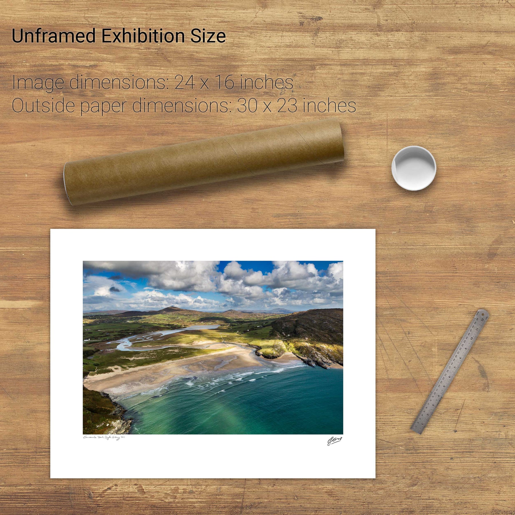
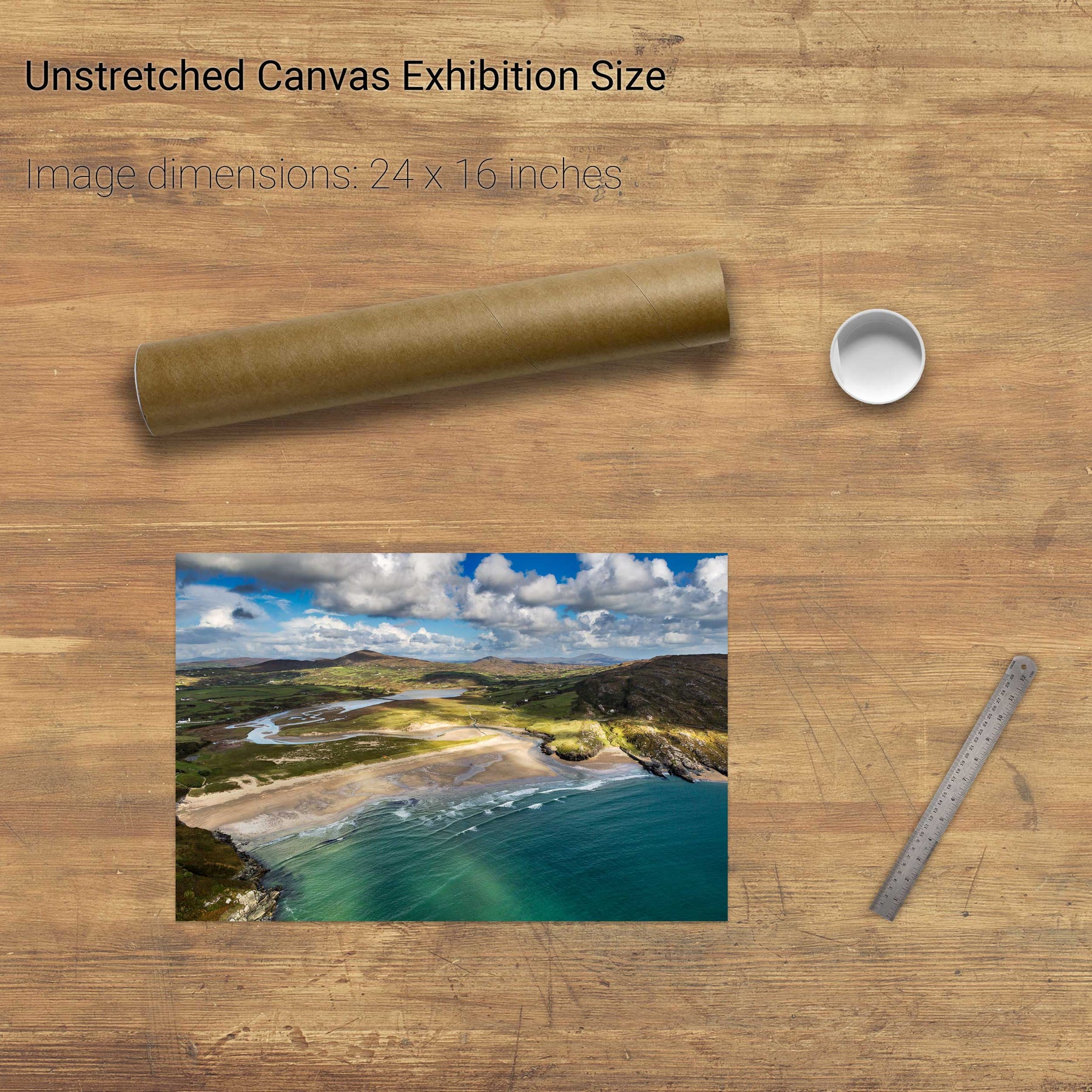
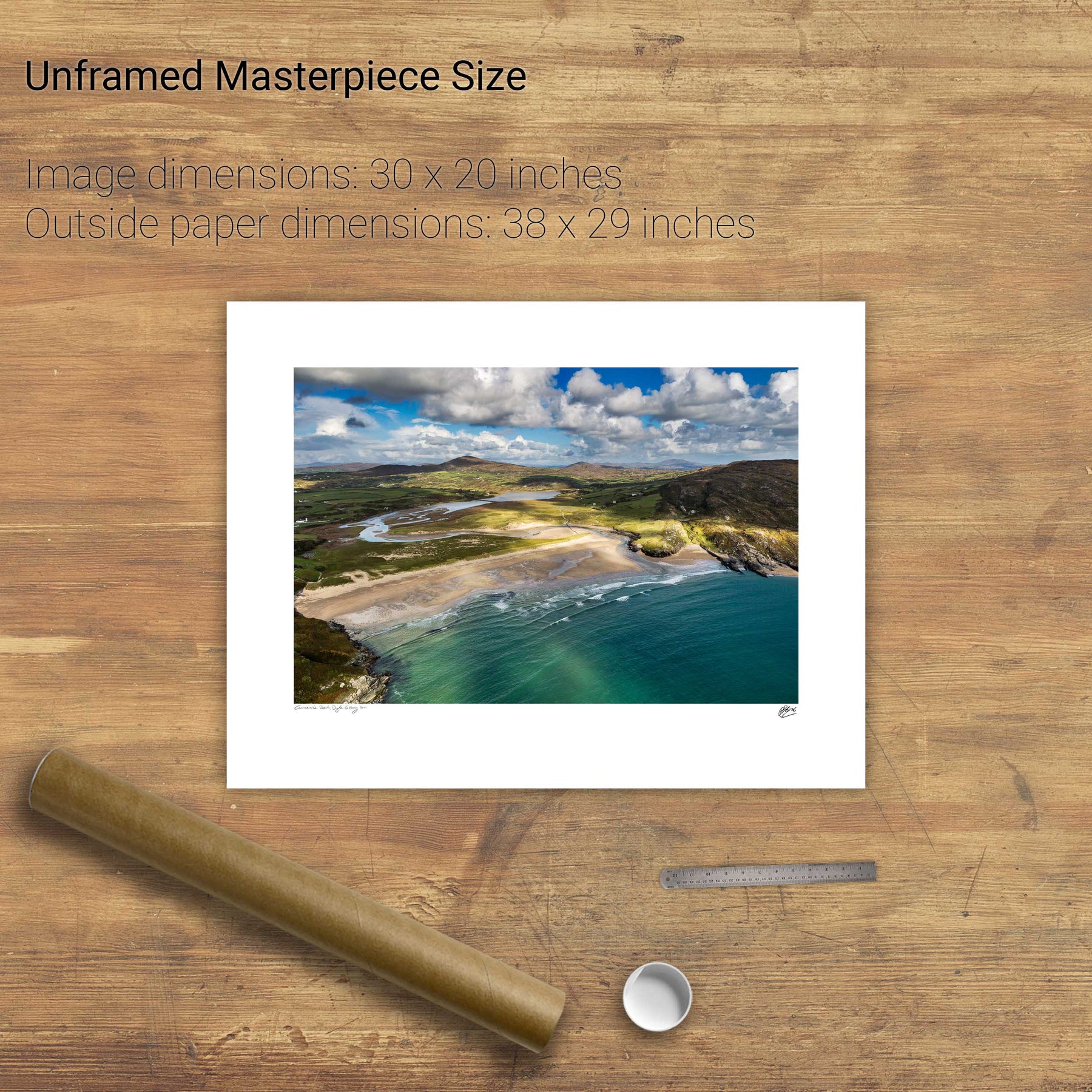
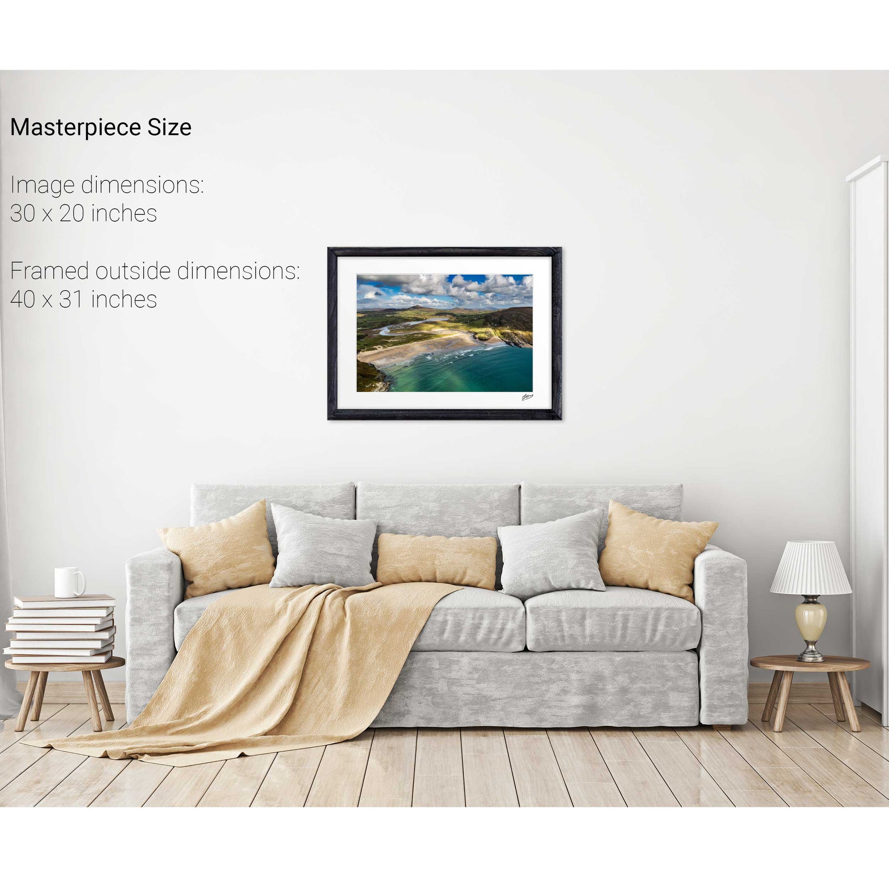
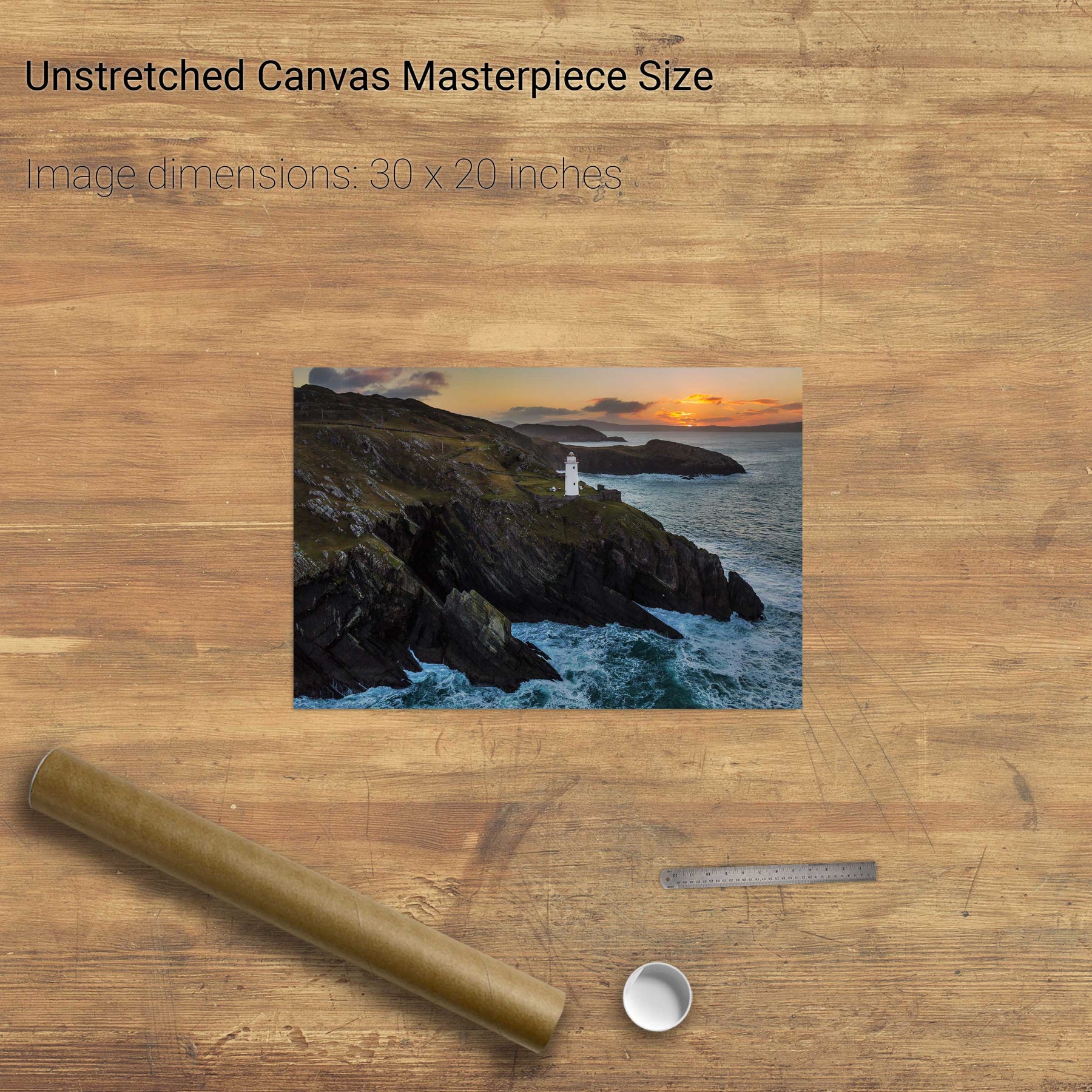
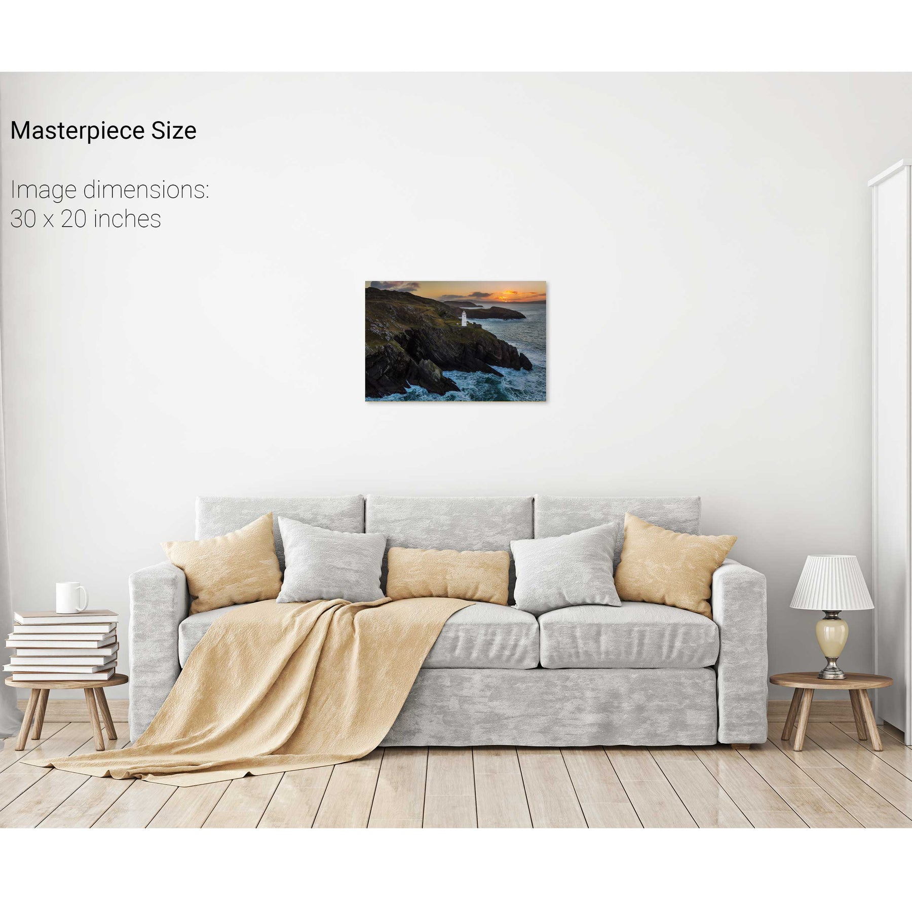
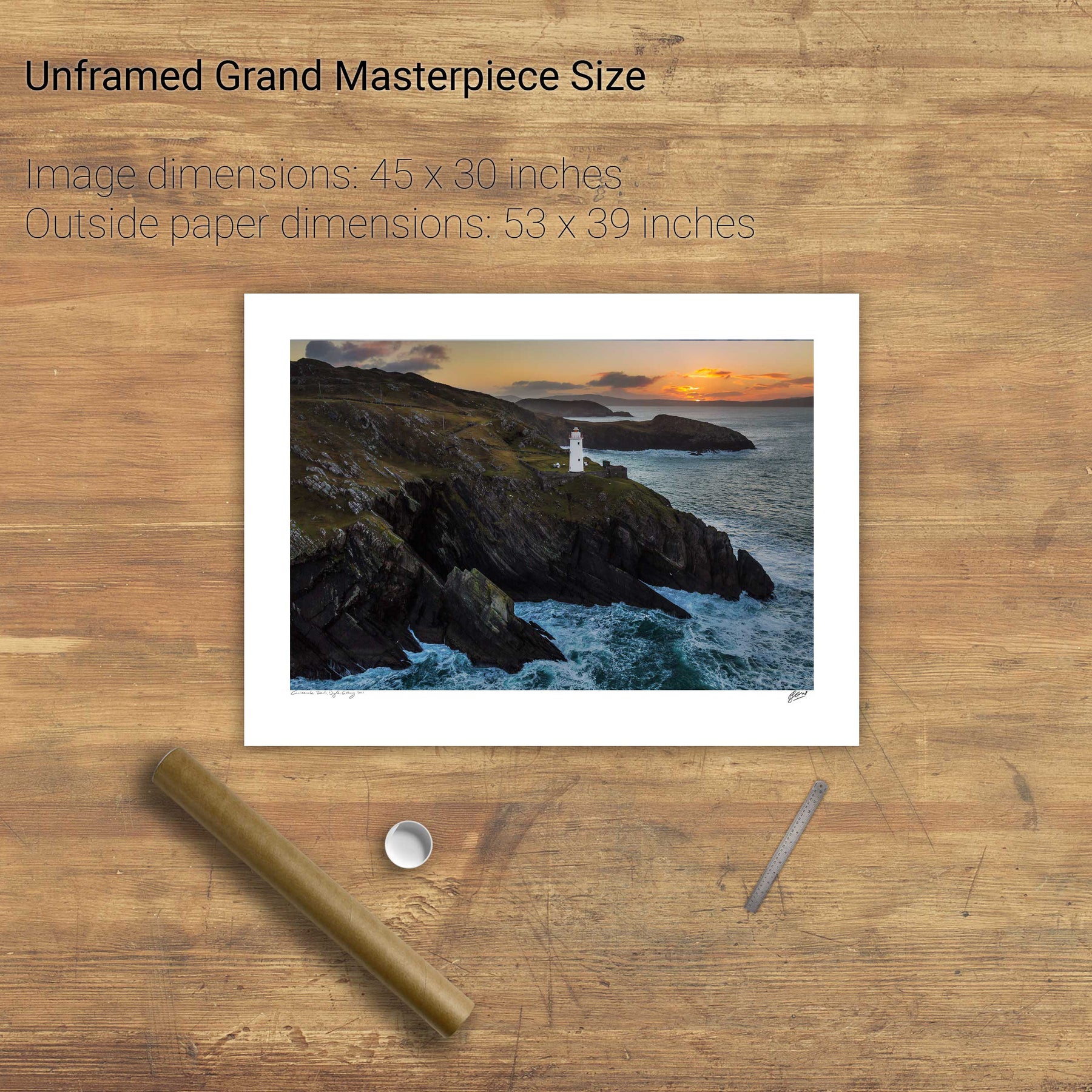
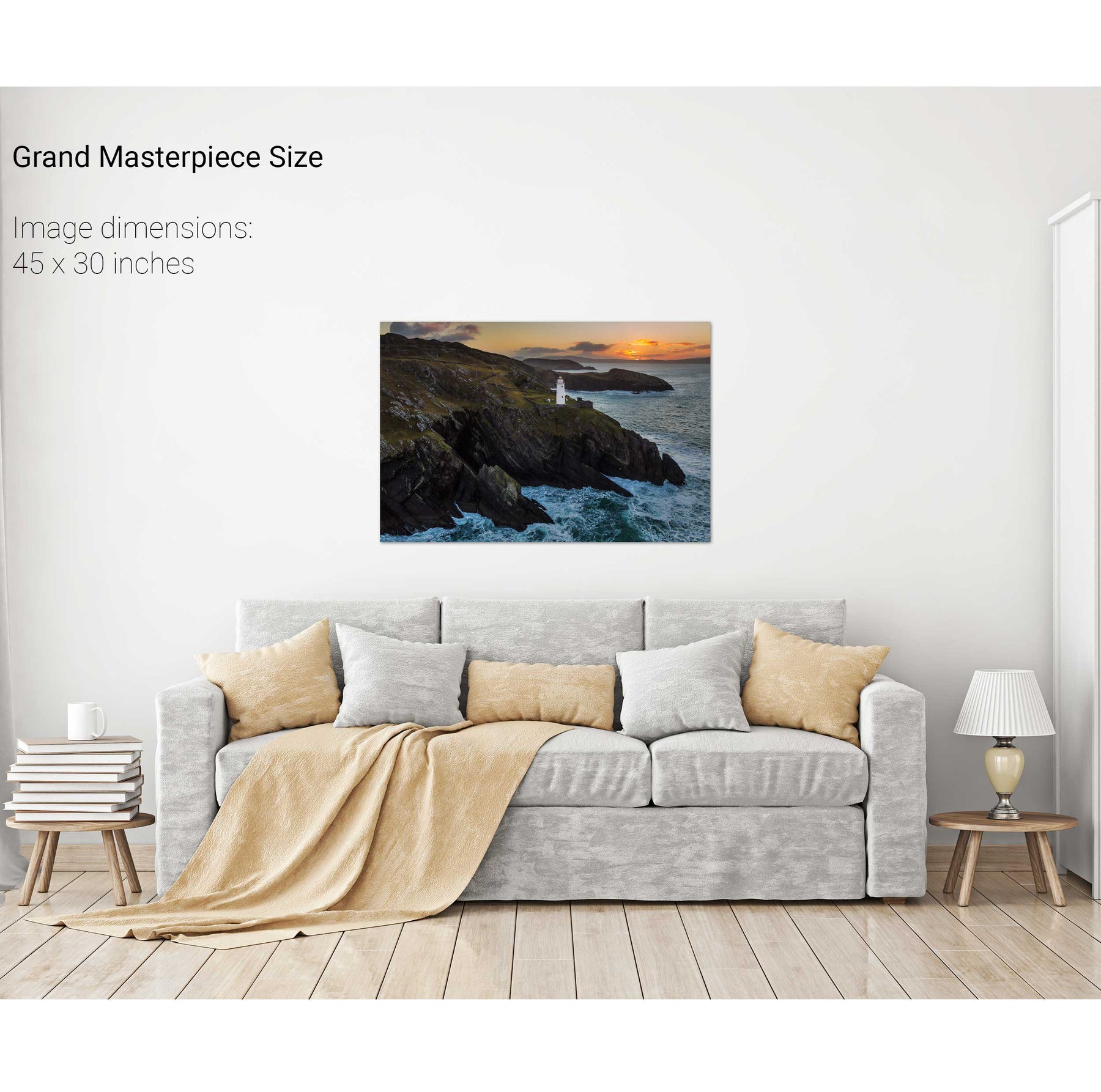
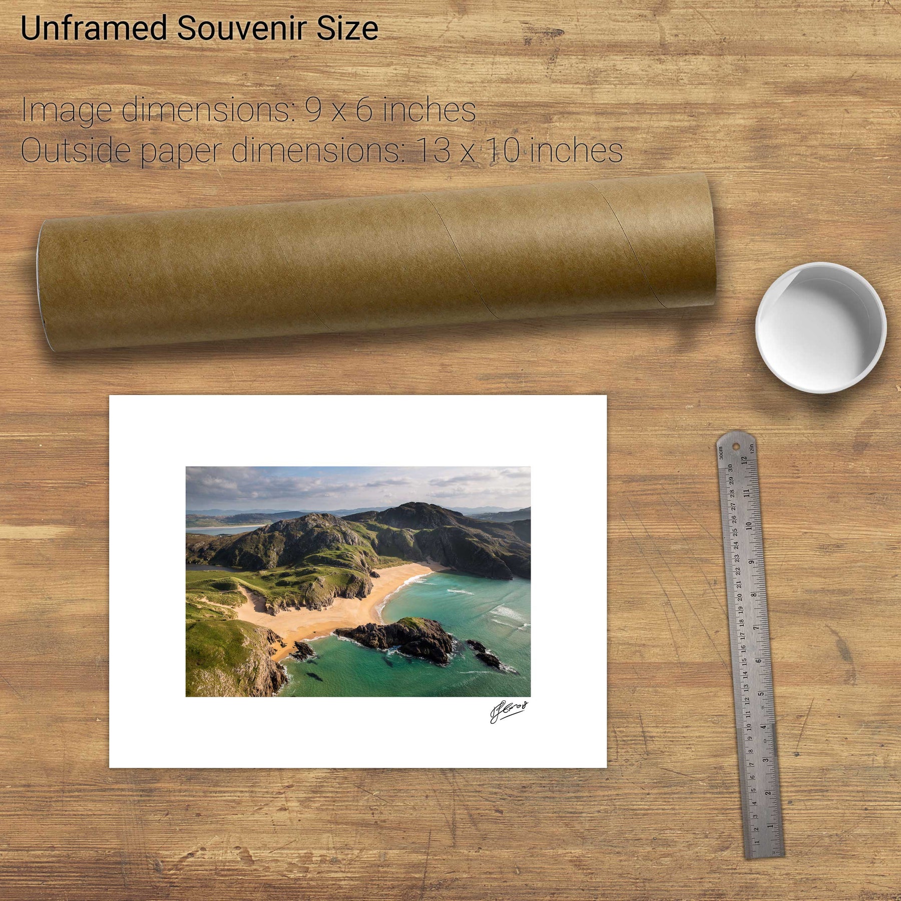
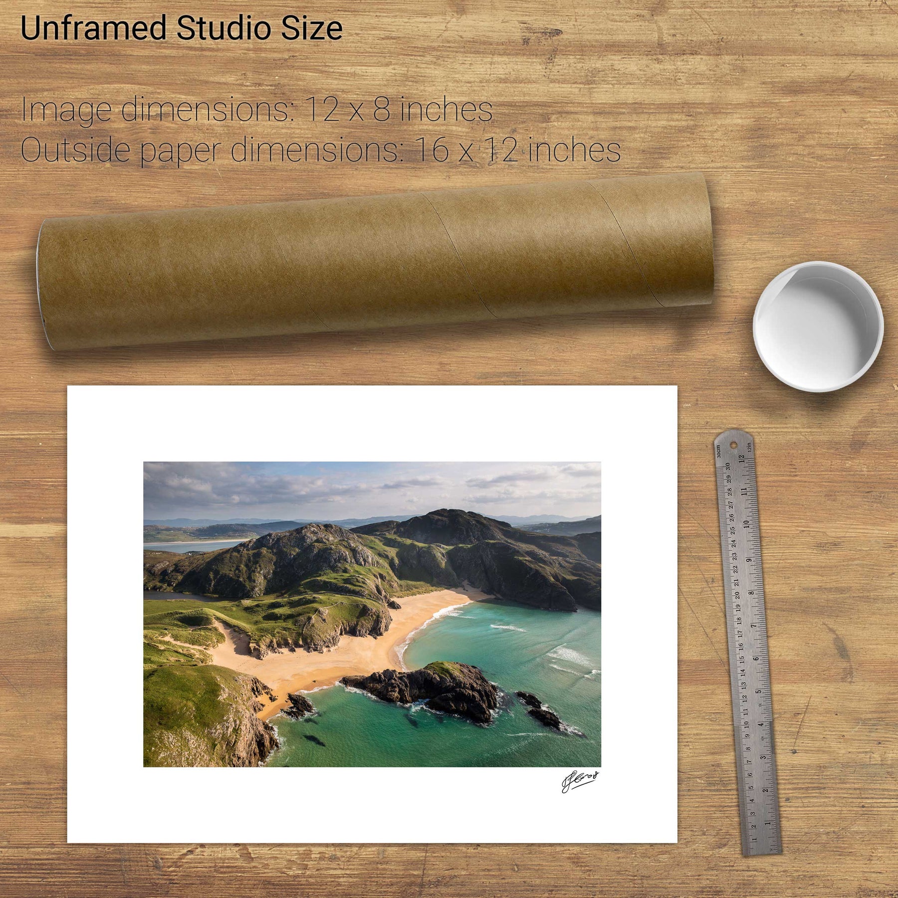
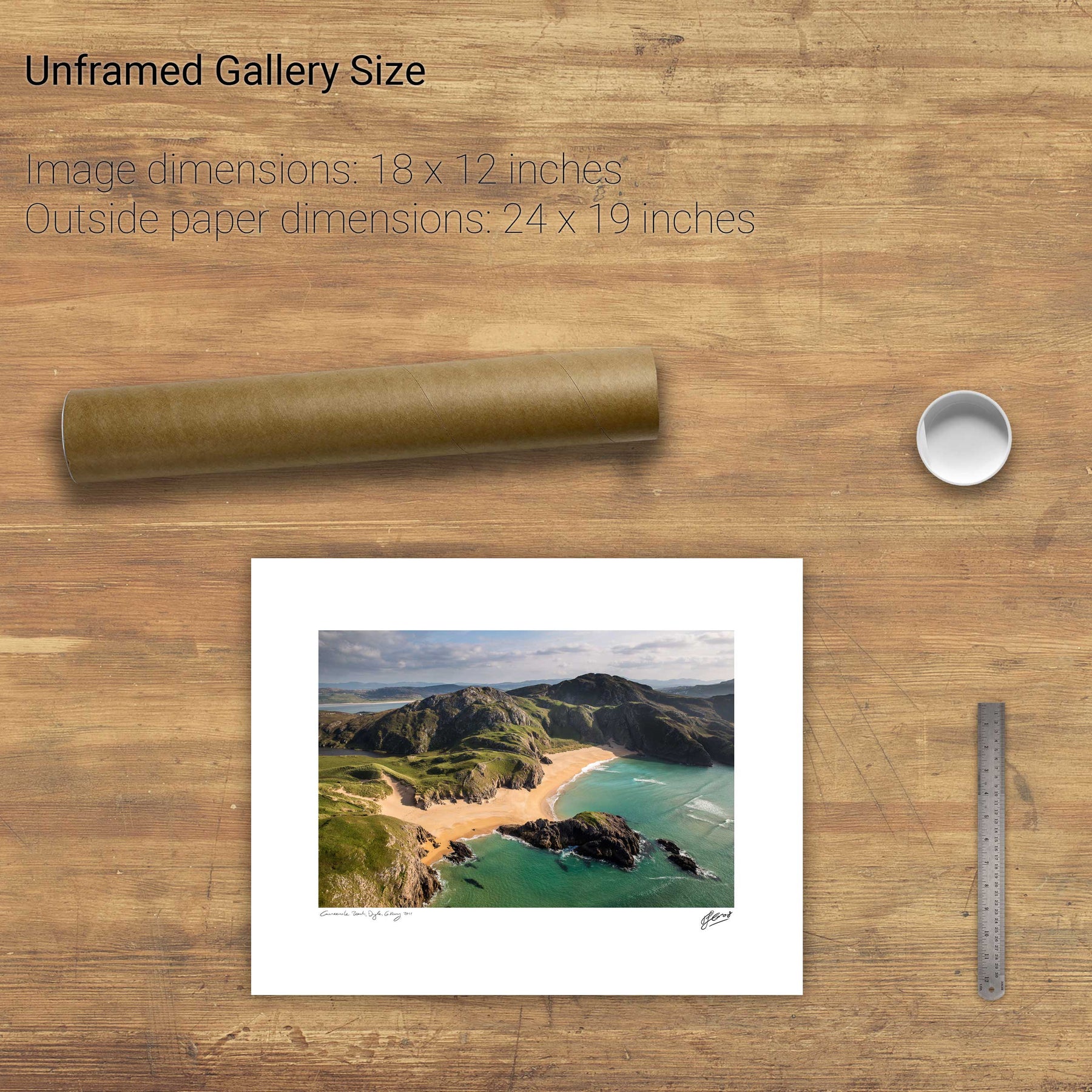
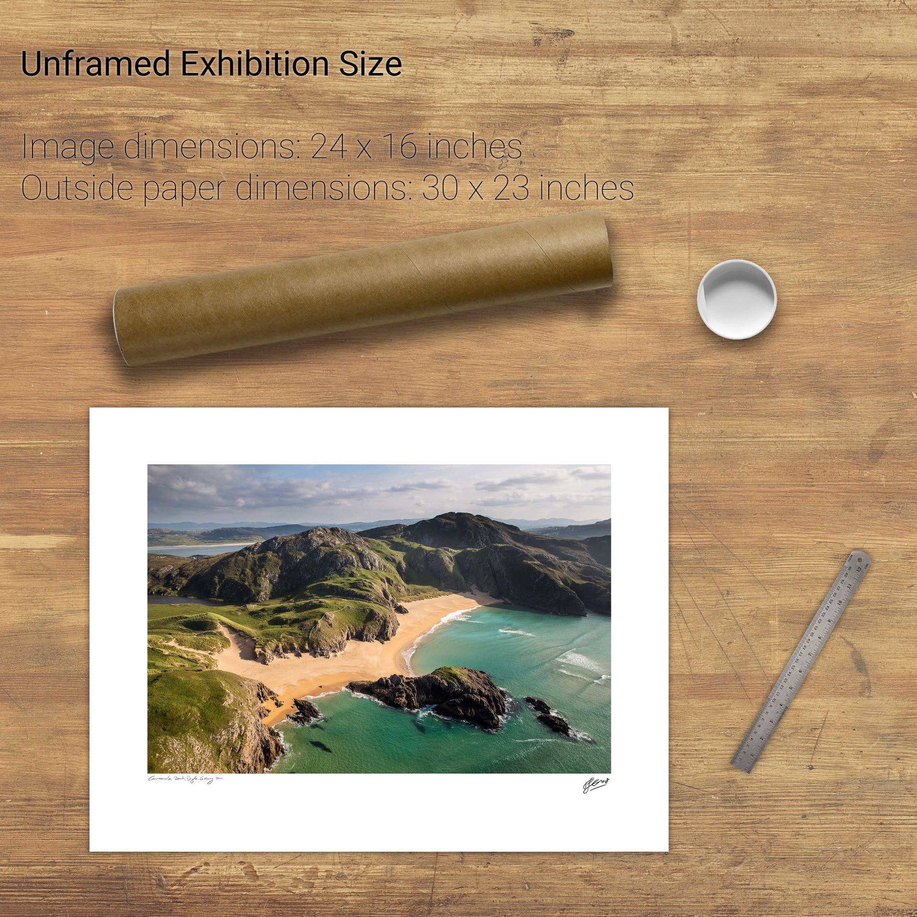
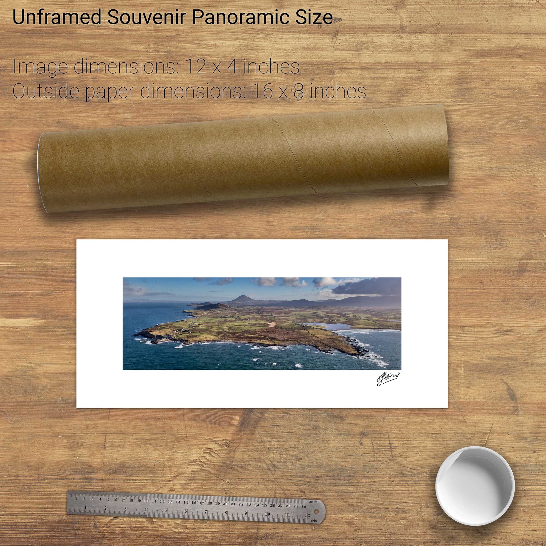
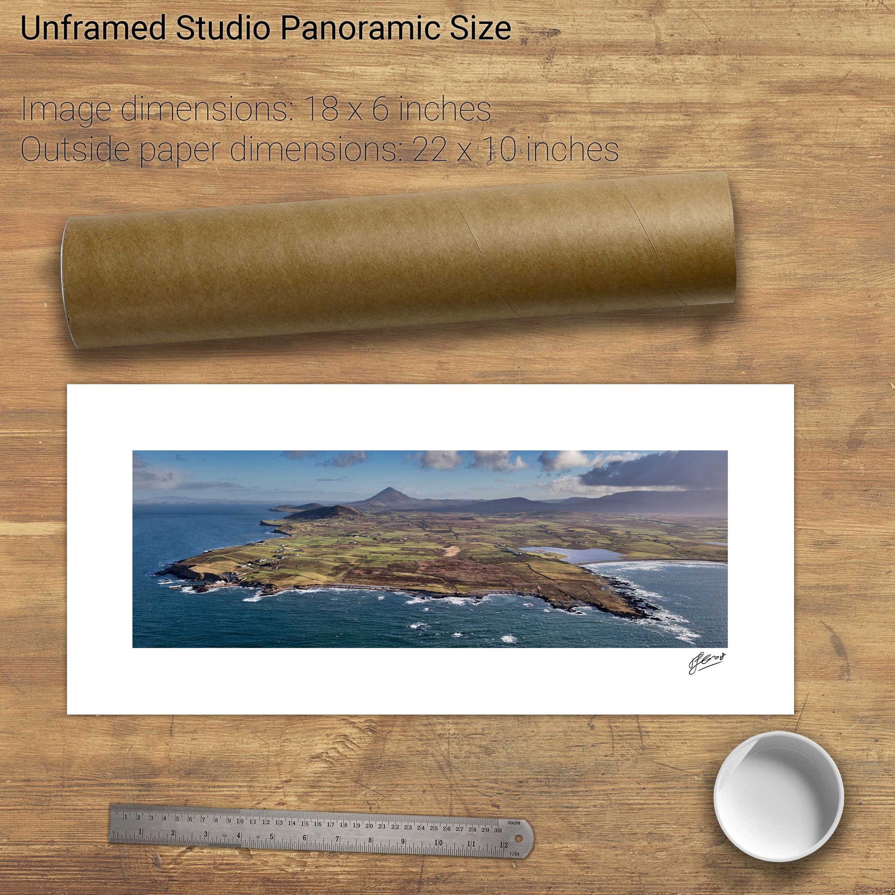
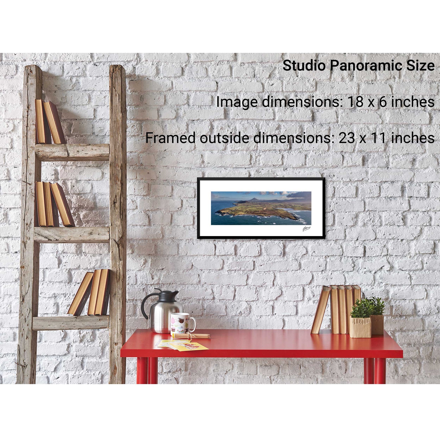
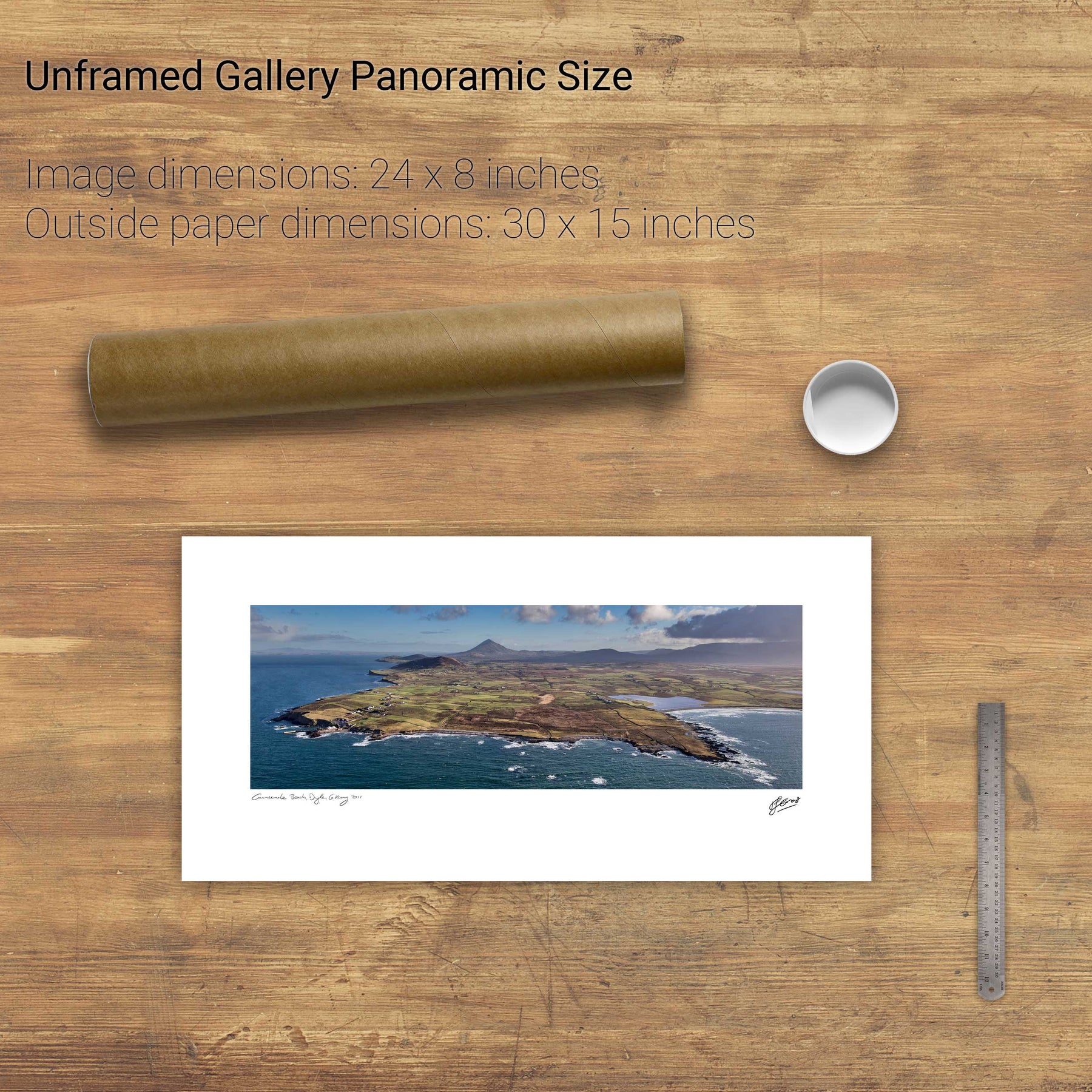
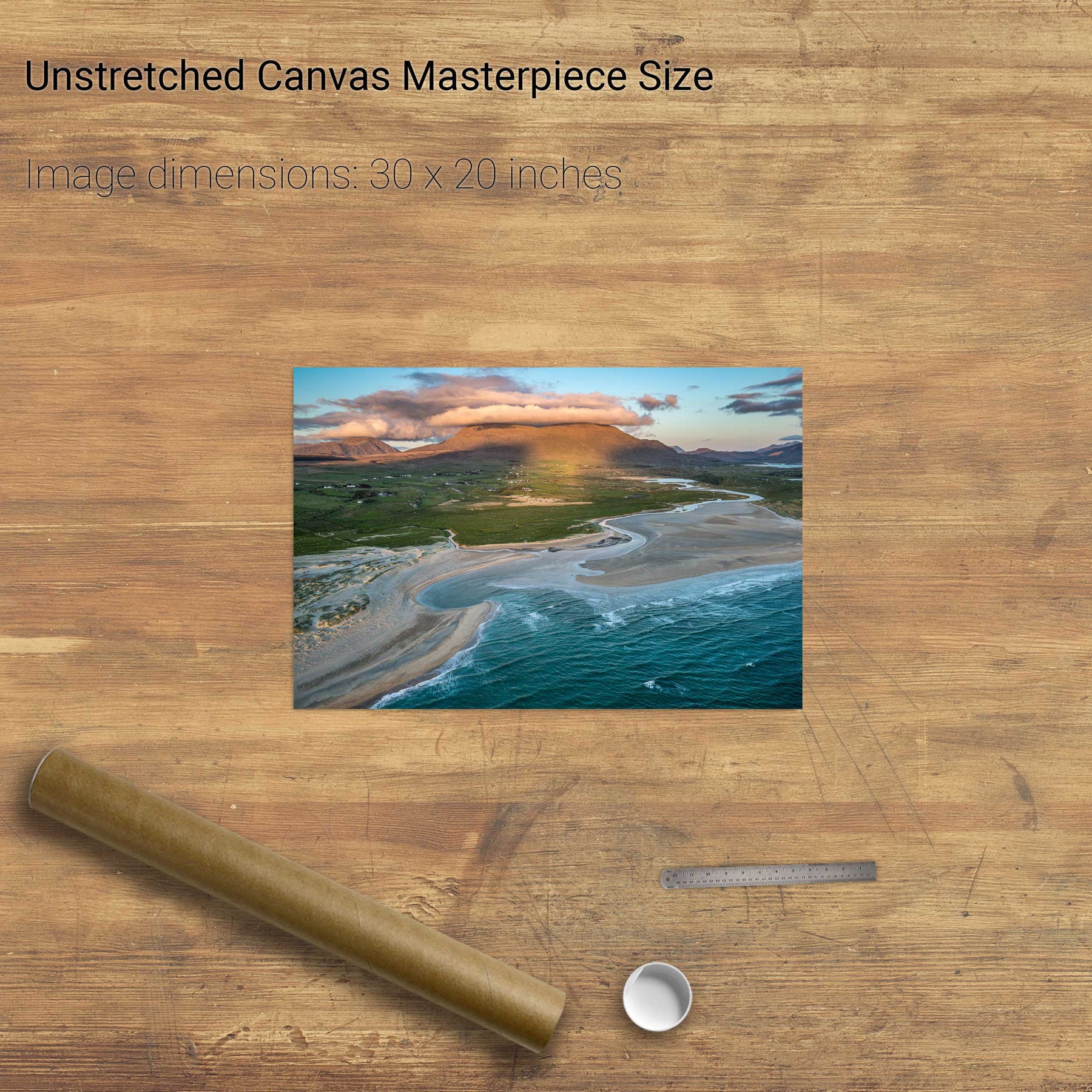
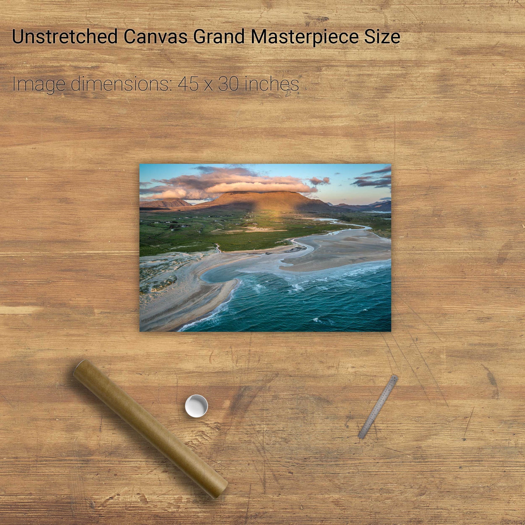
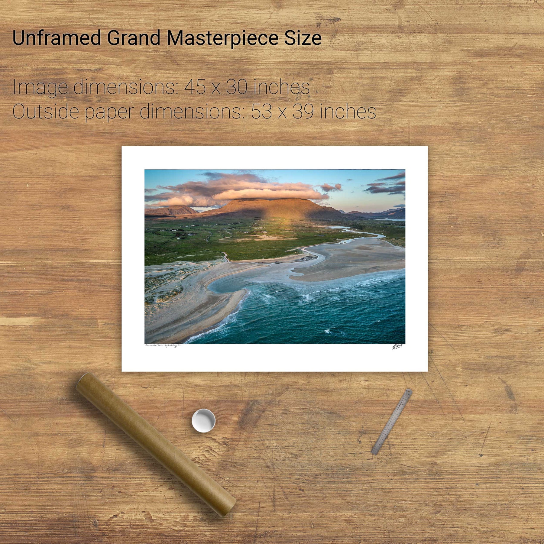
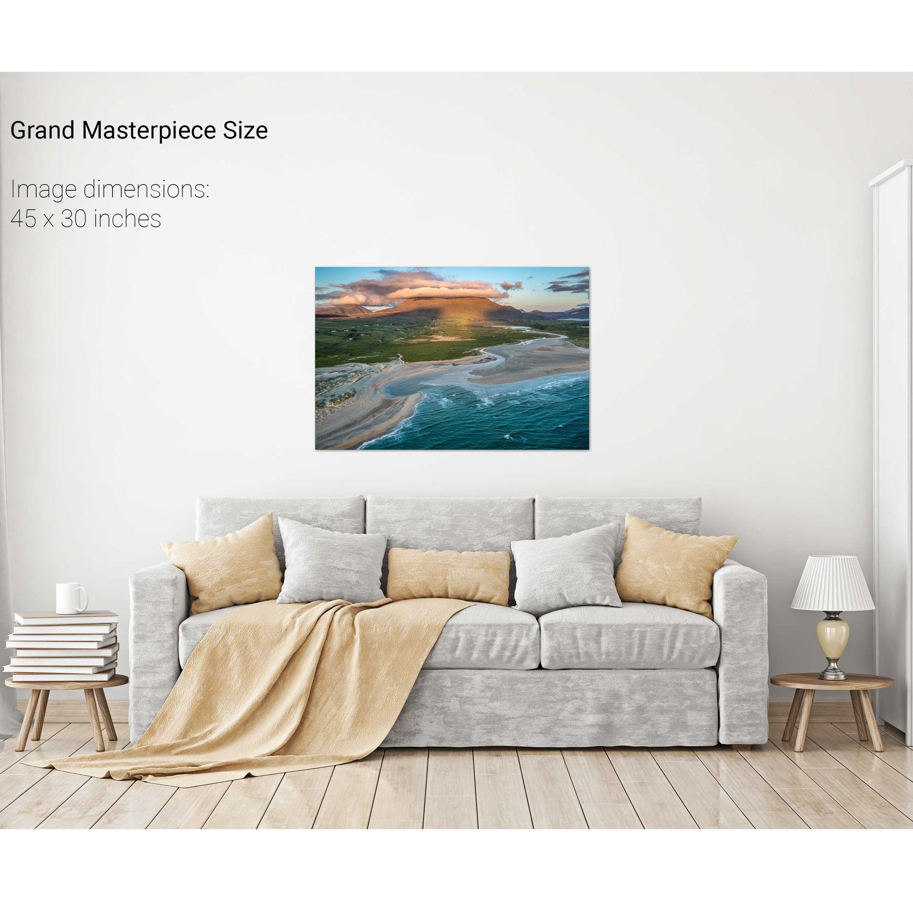
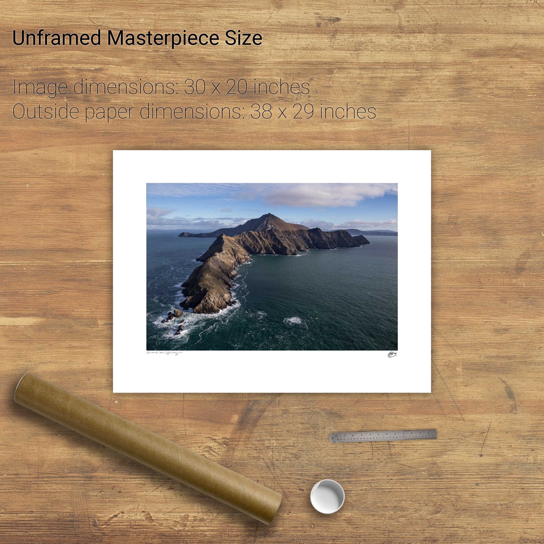
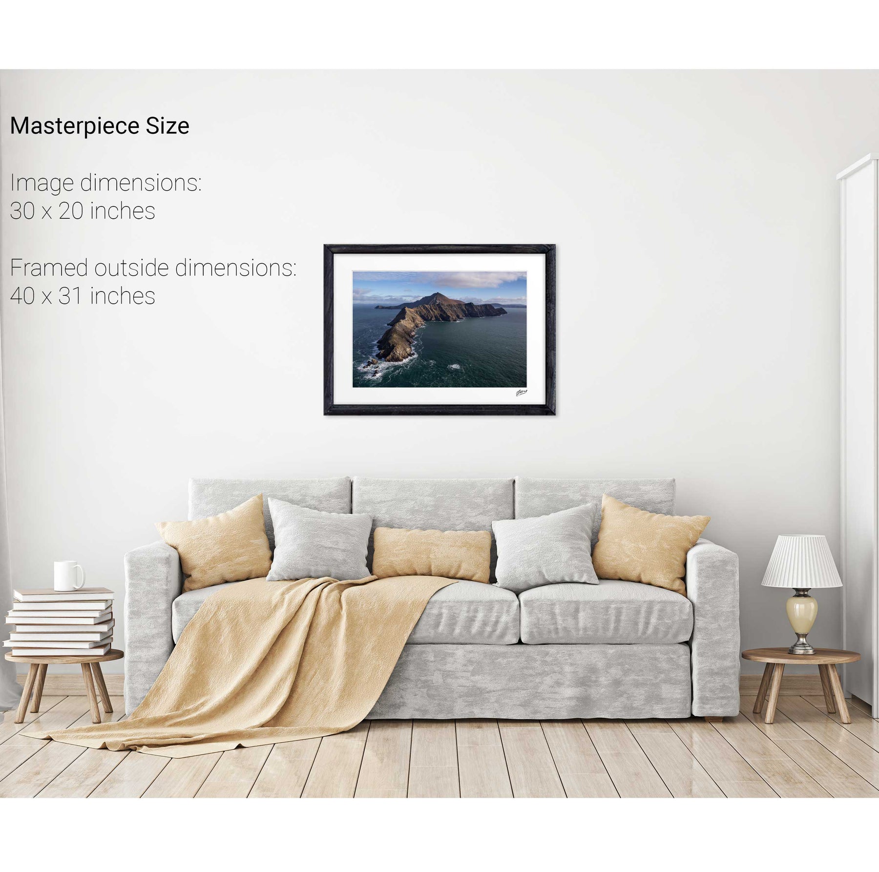
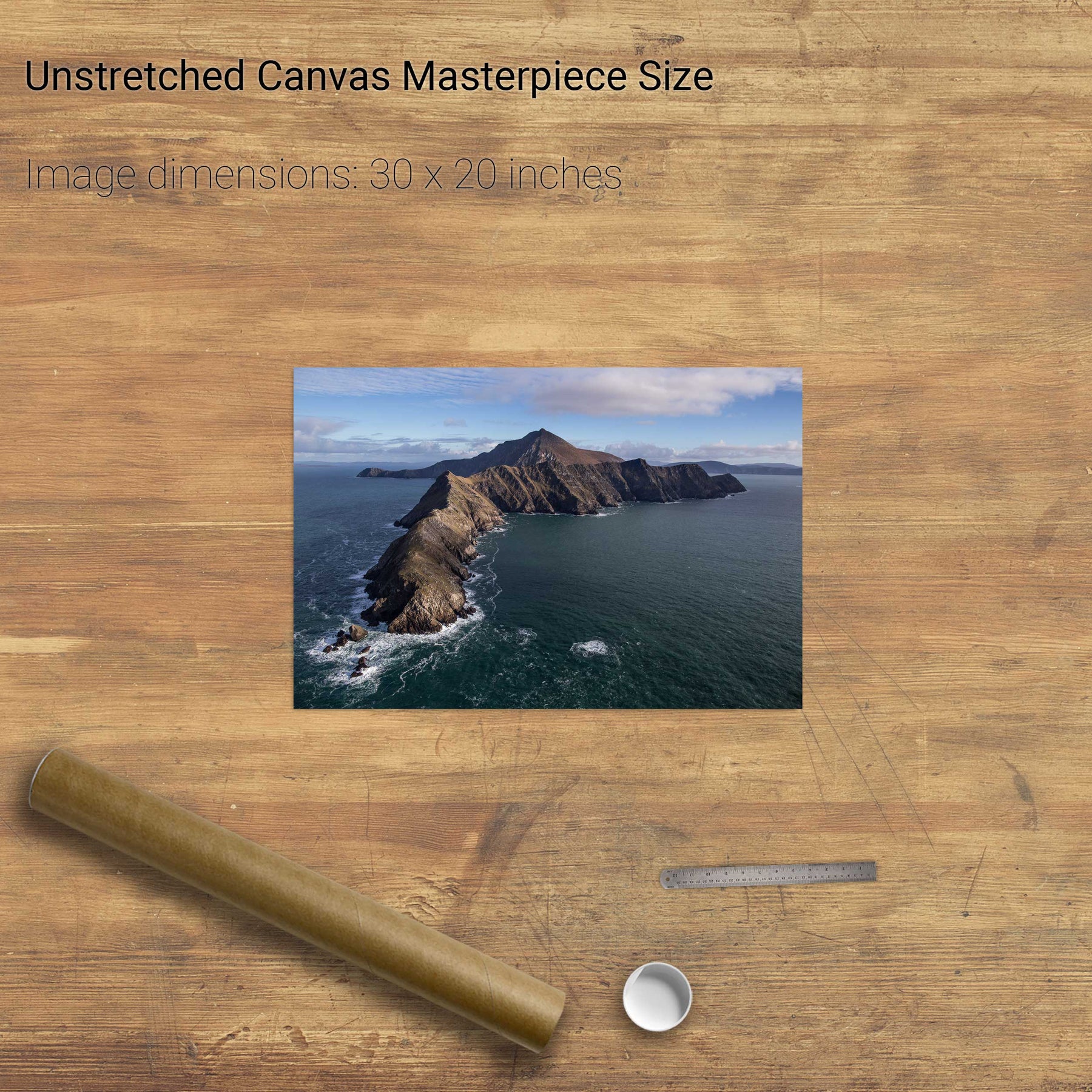
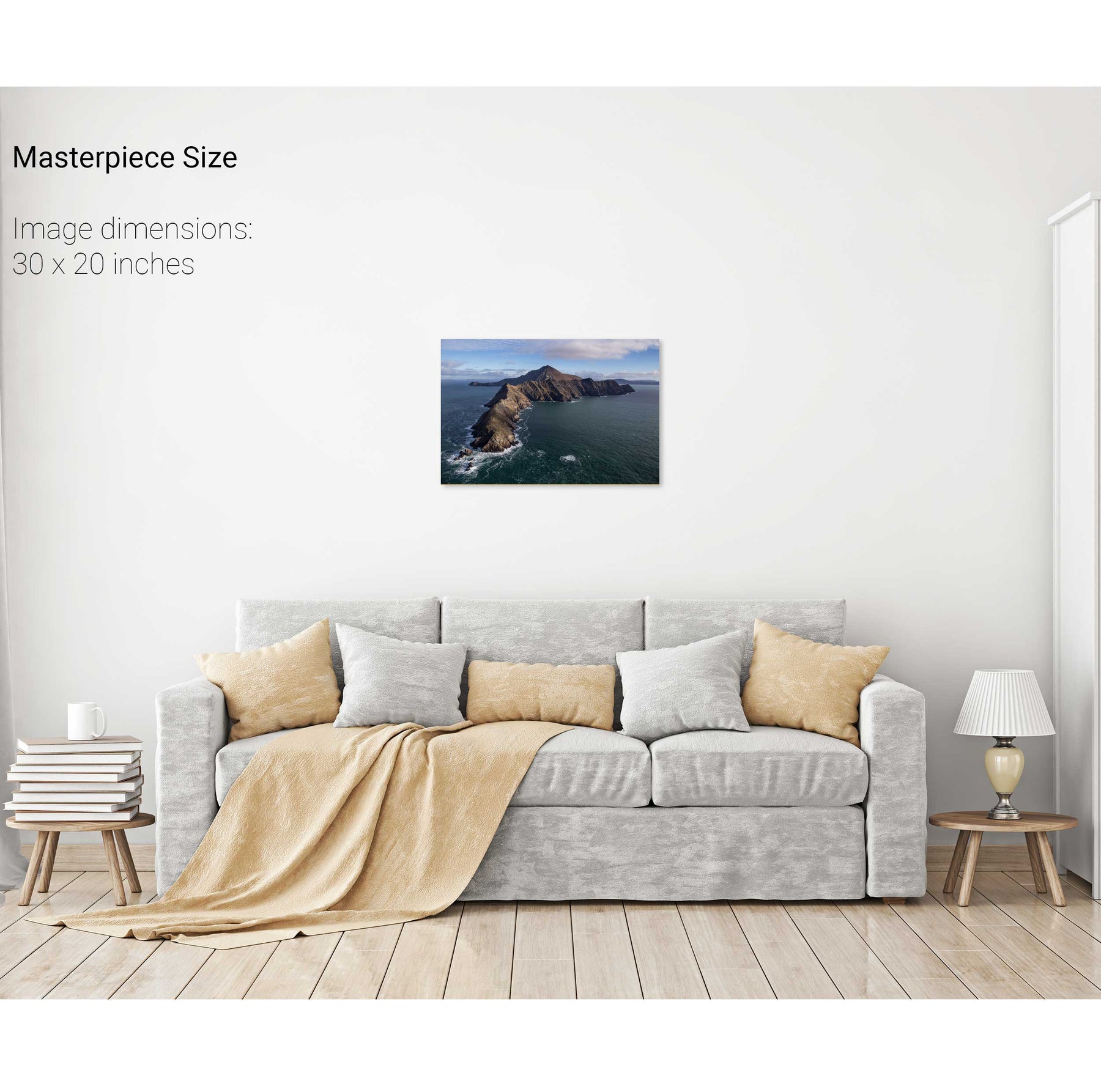
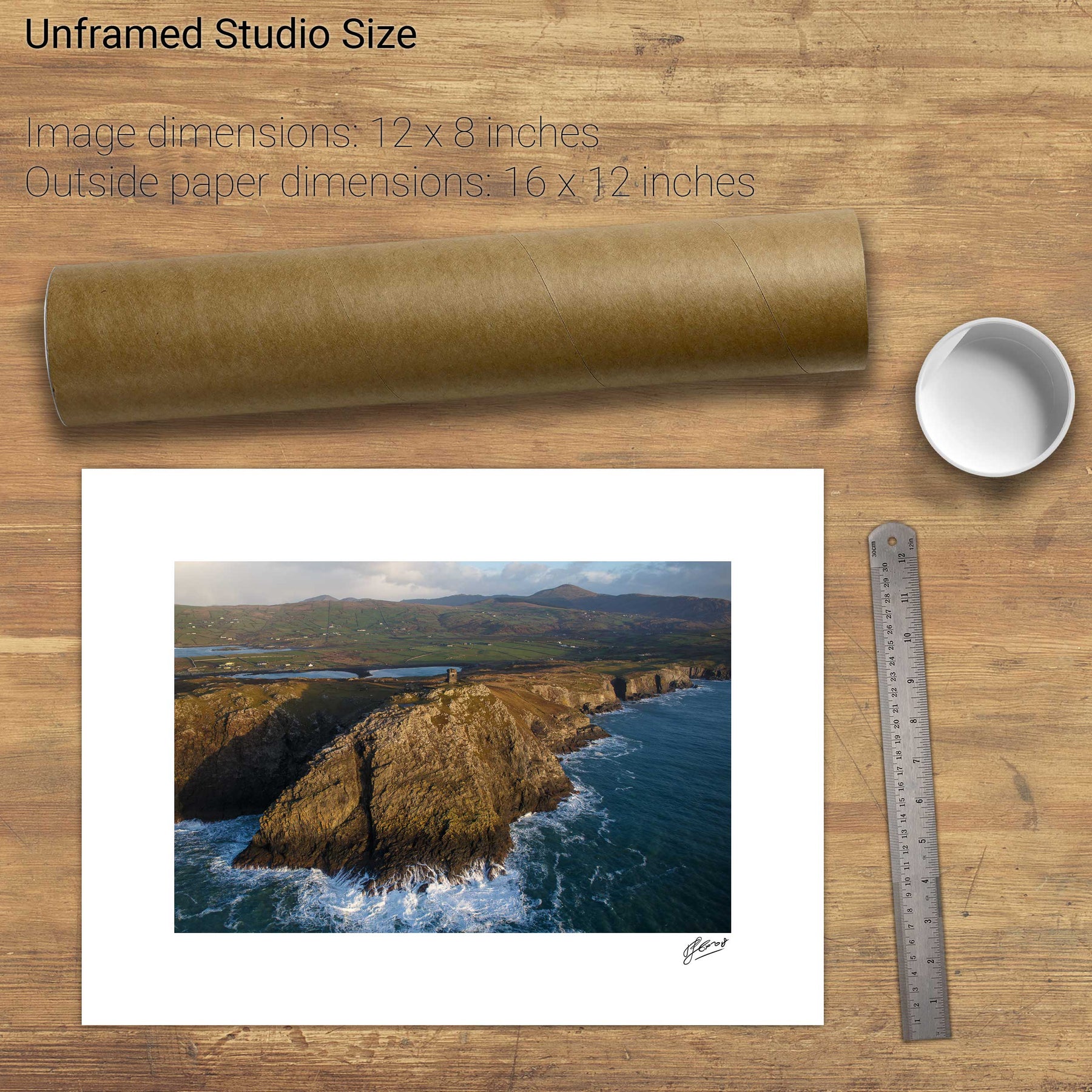
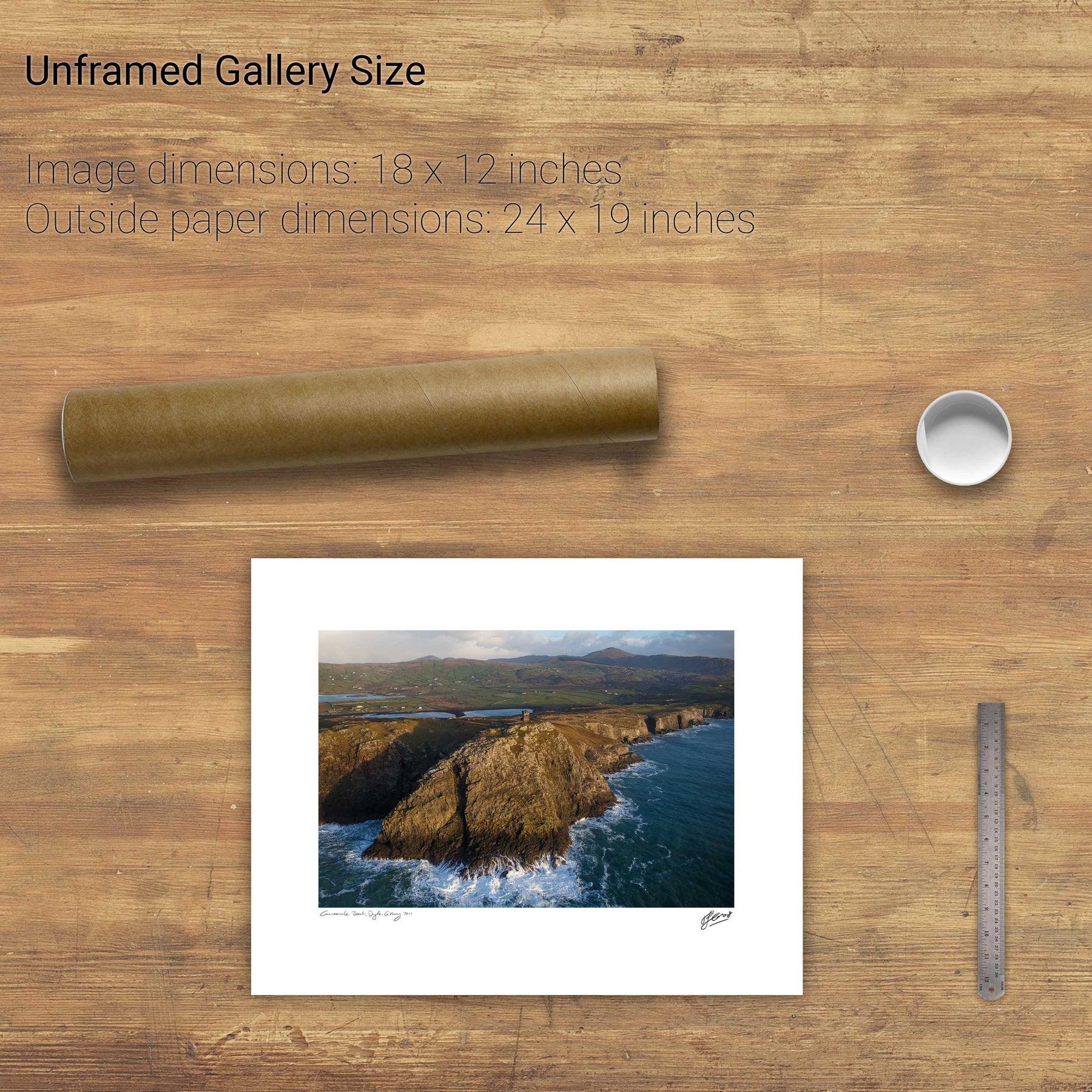
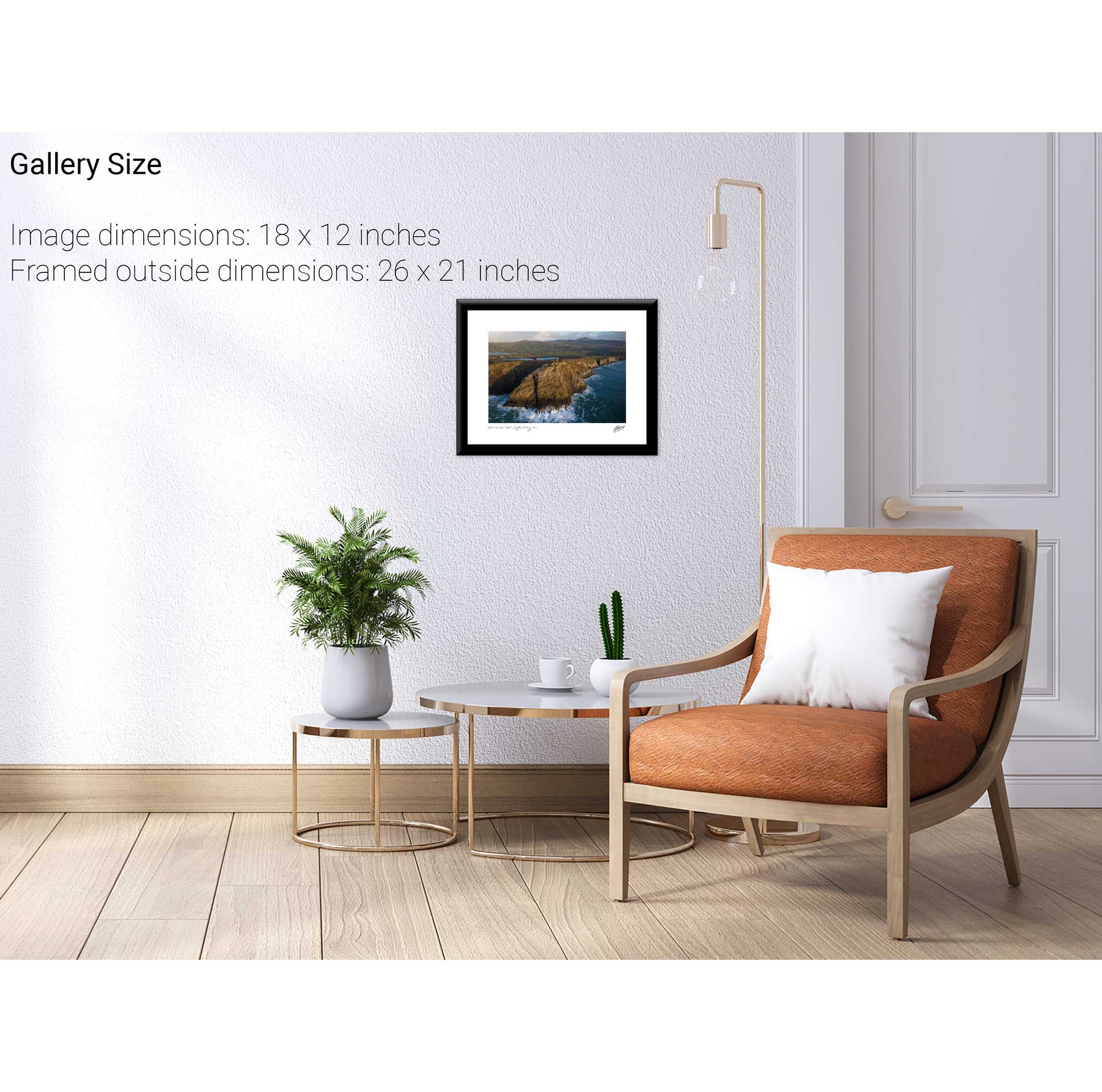
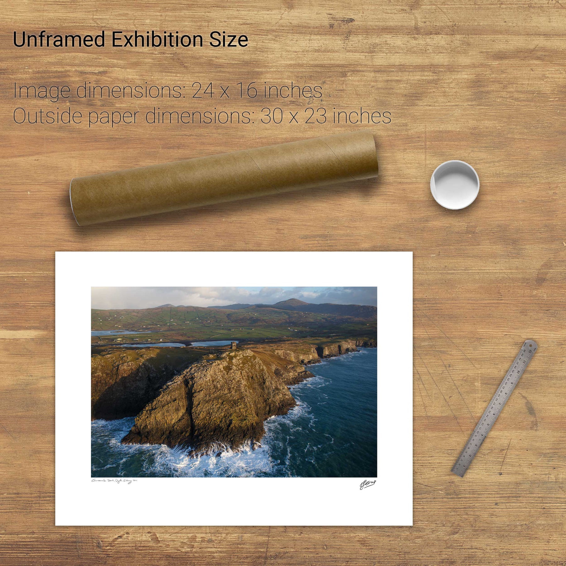
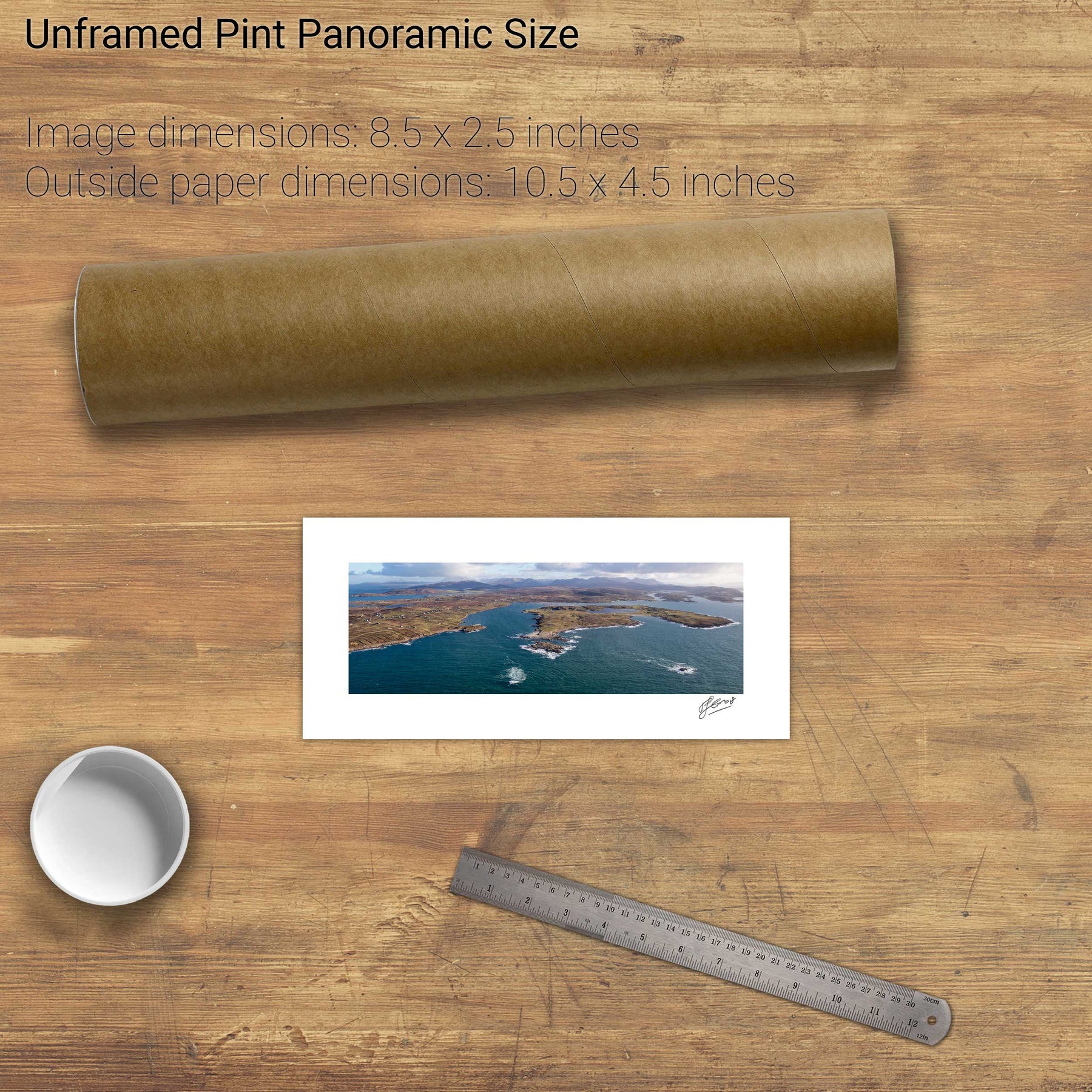
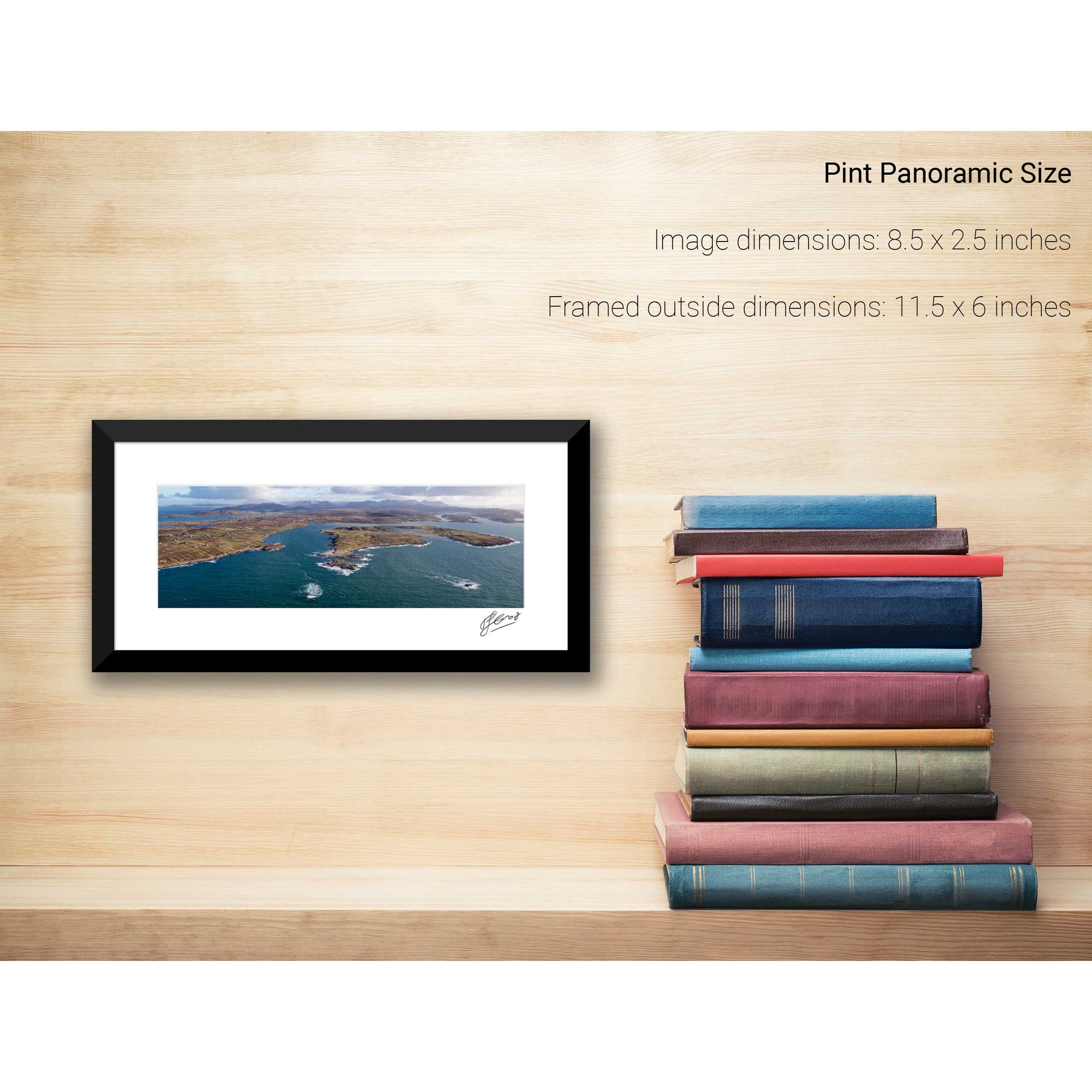
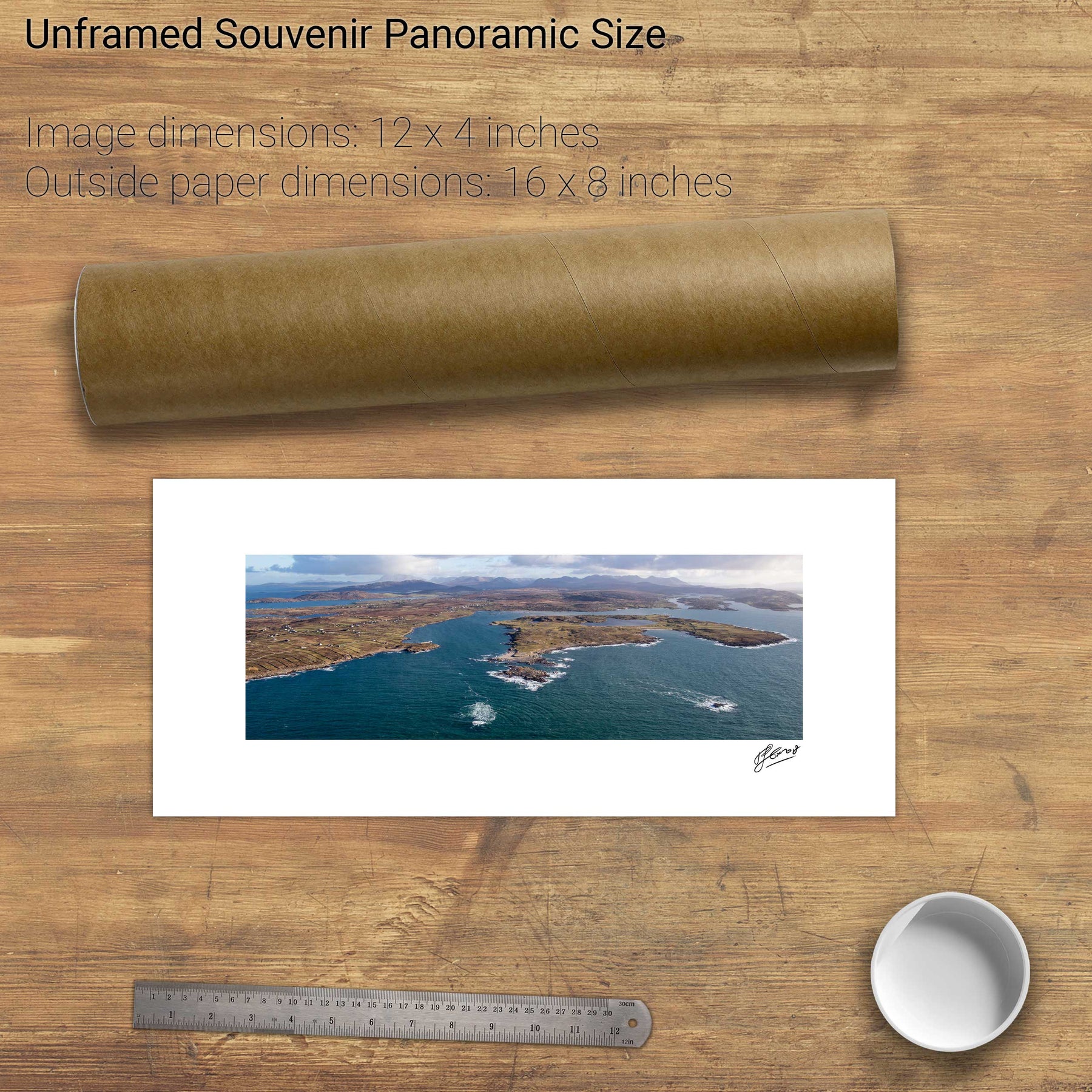
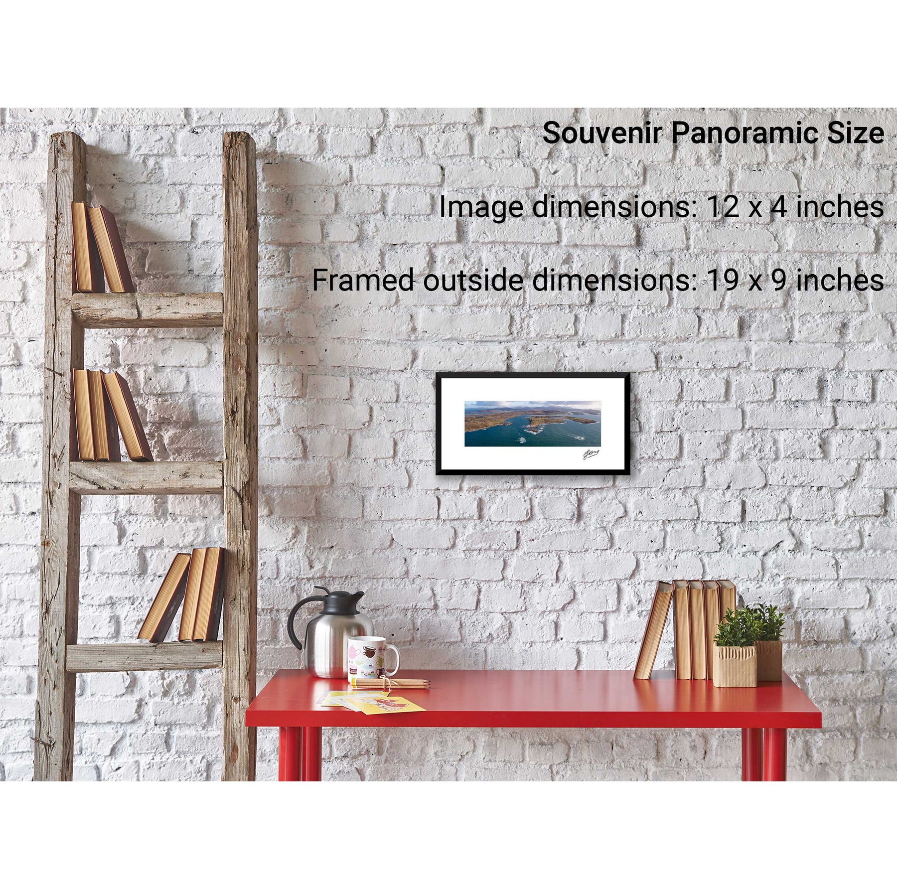
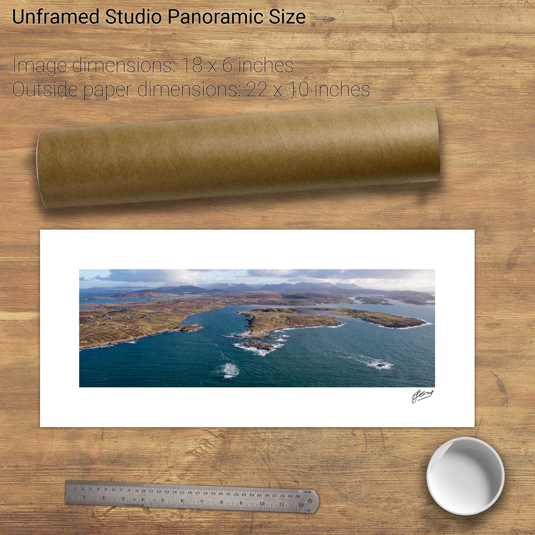
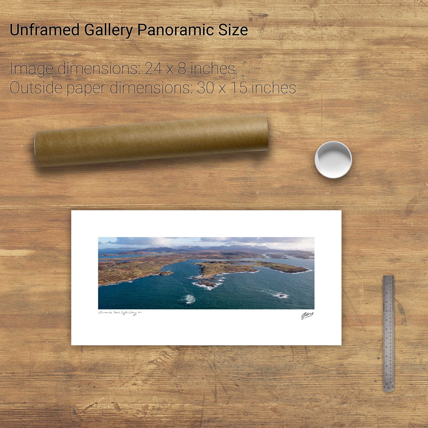
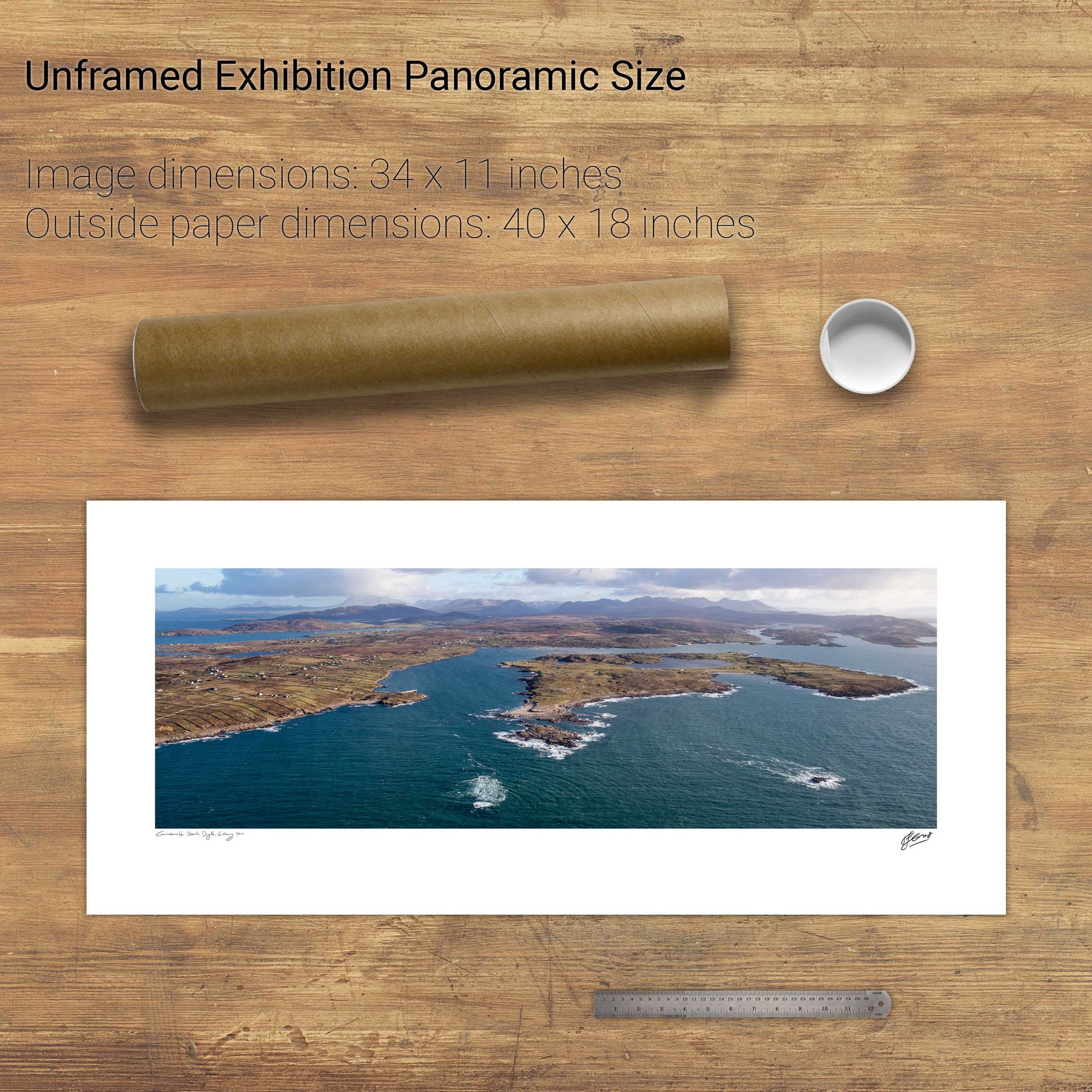
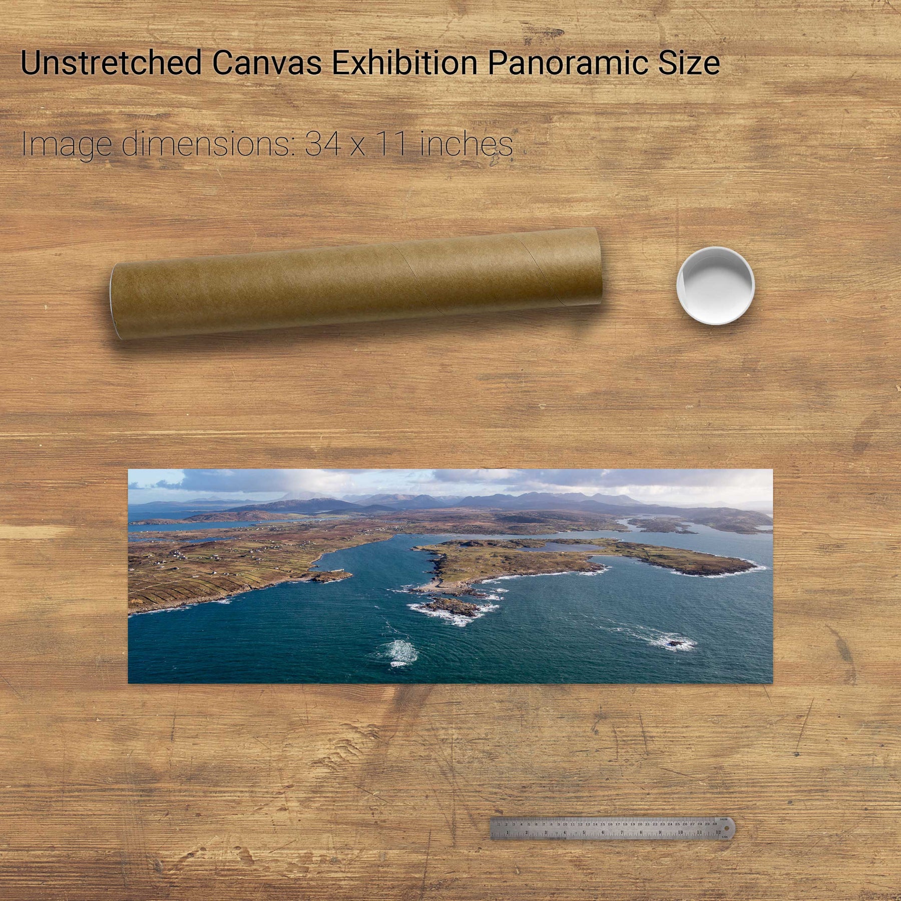
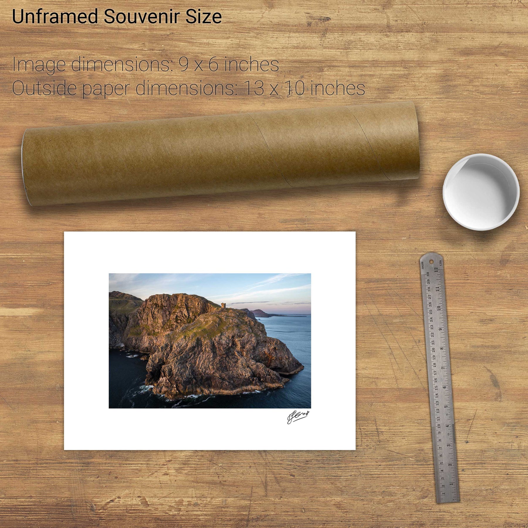
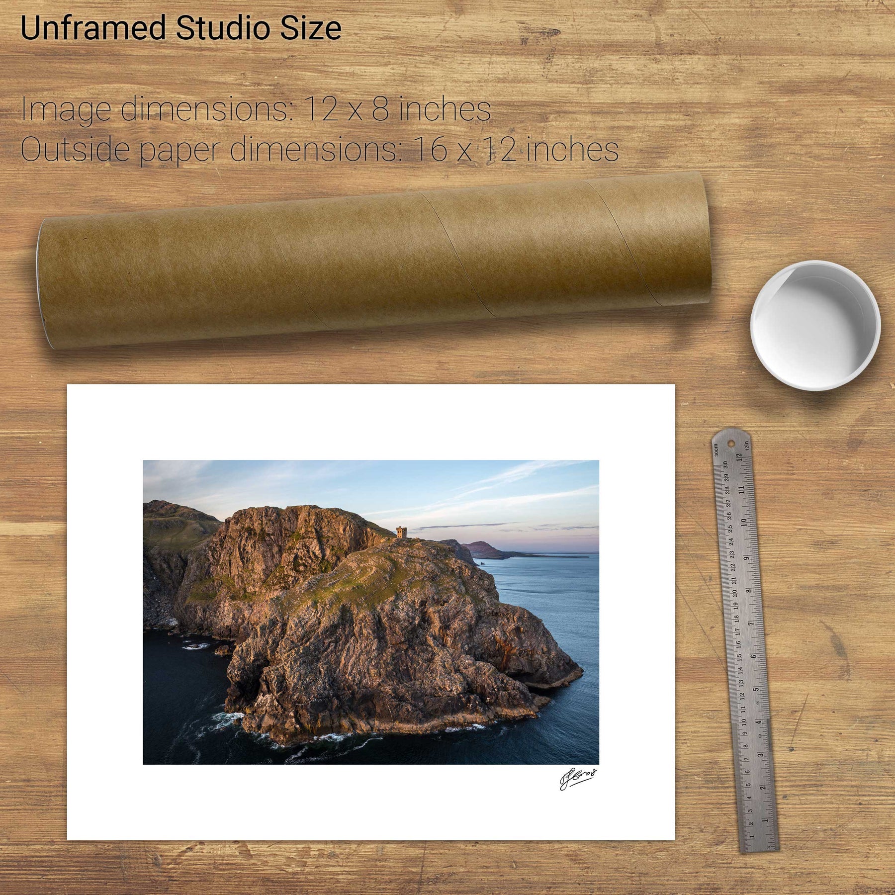
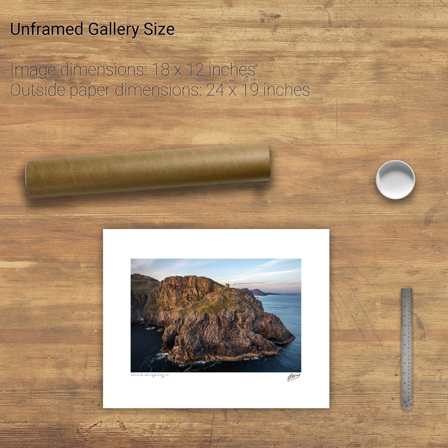
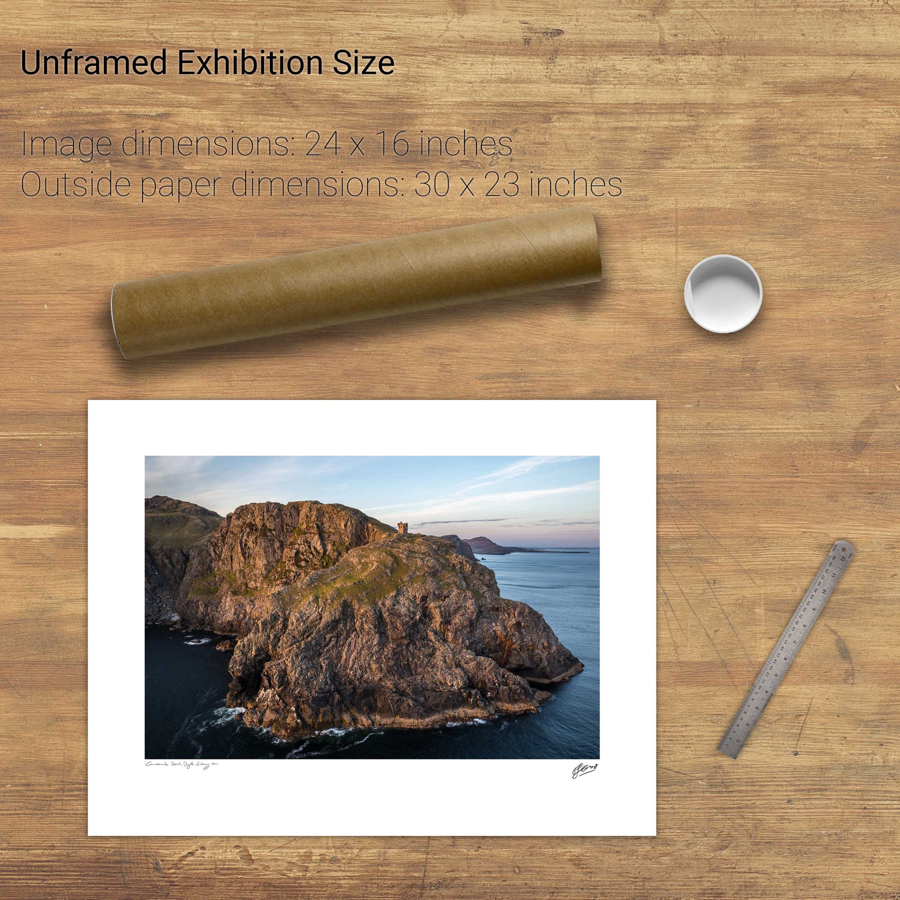
25 products
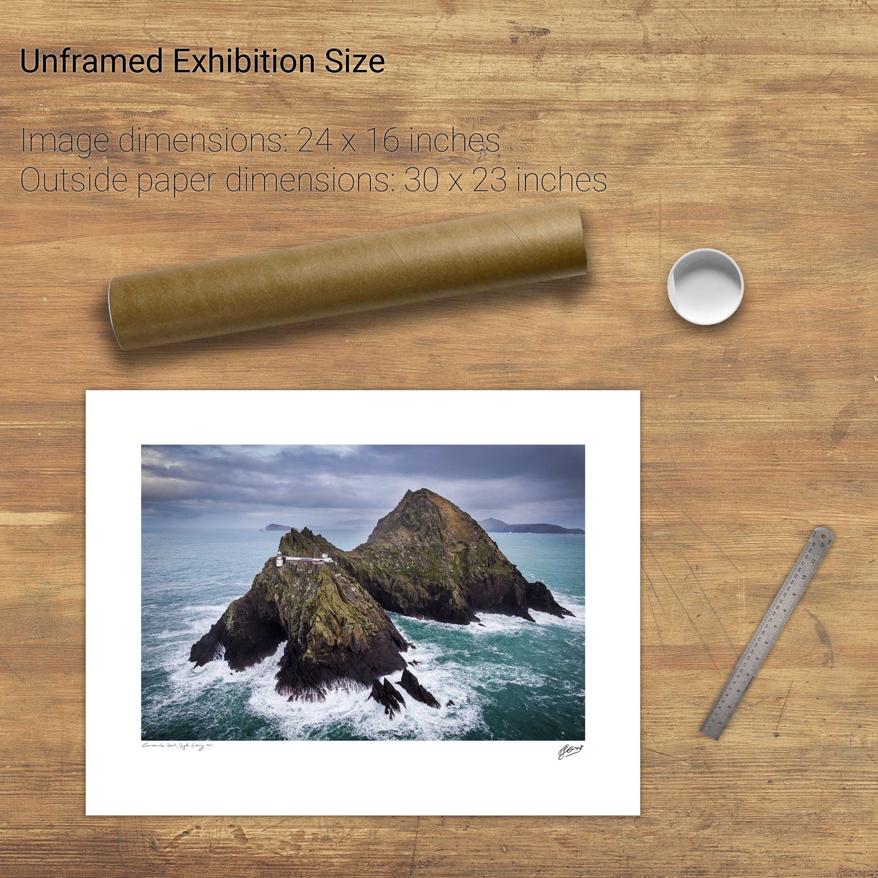
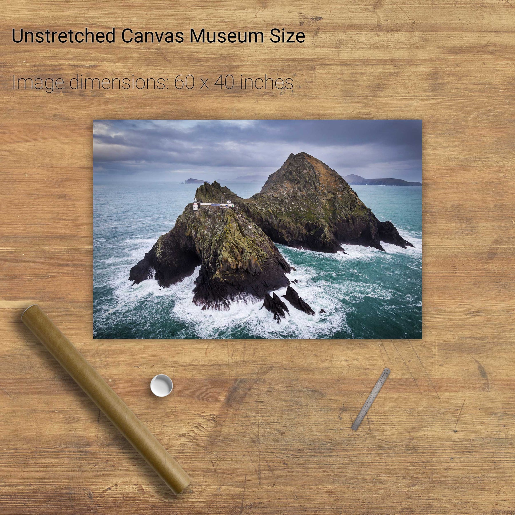
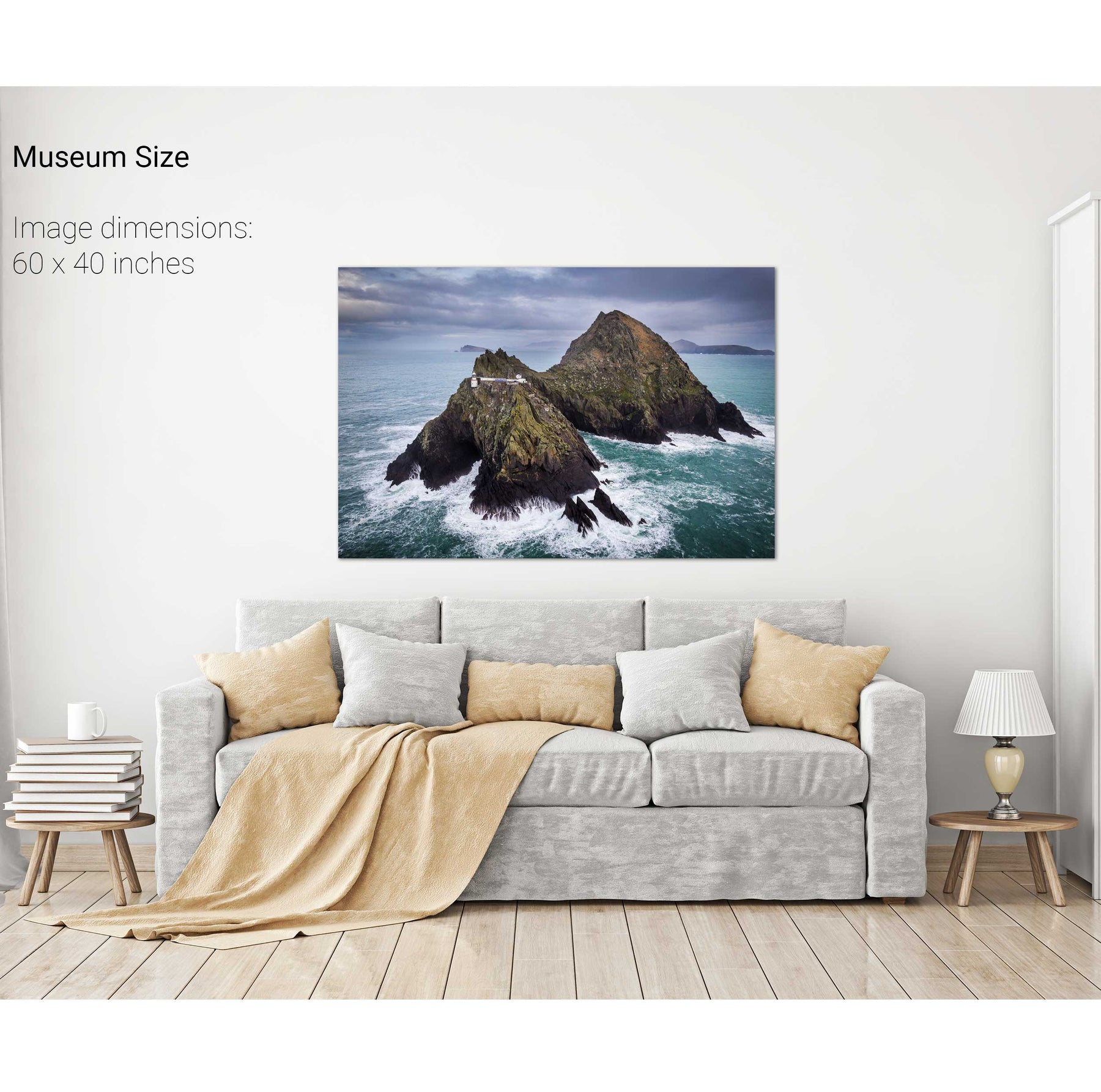
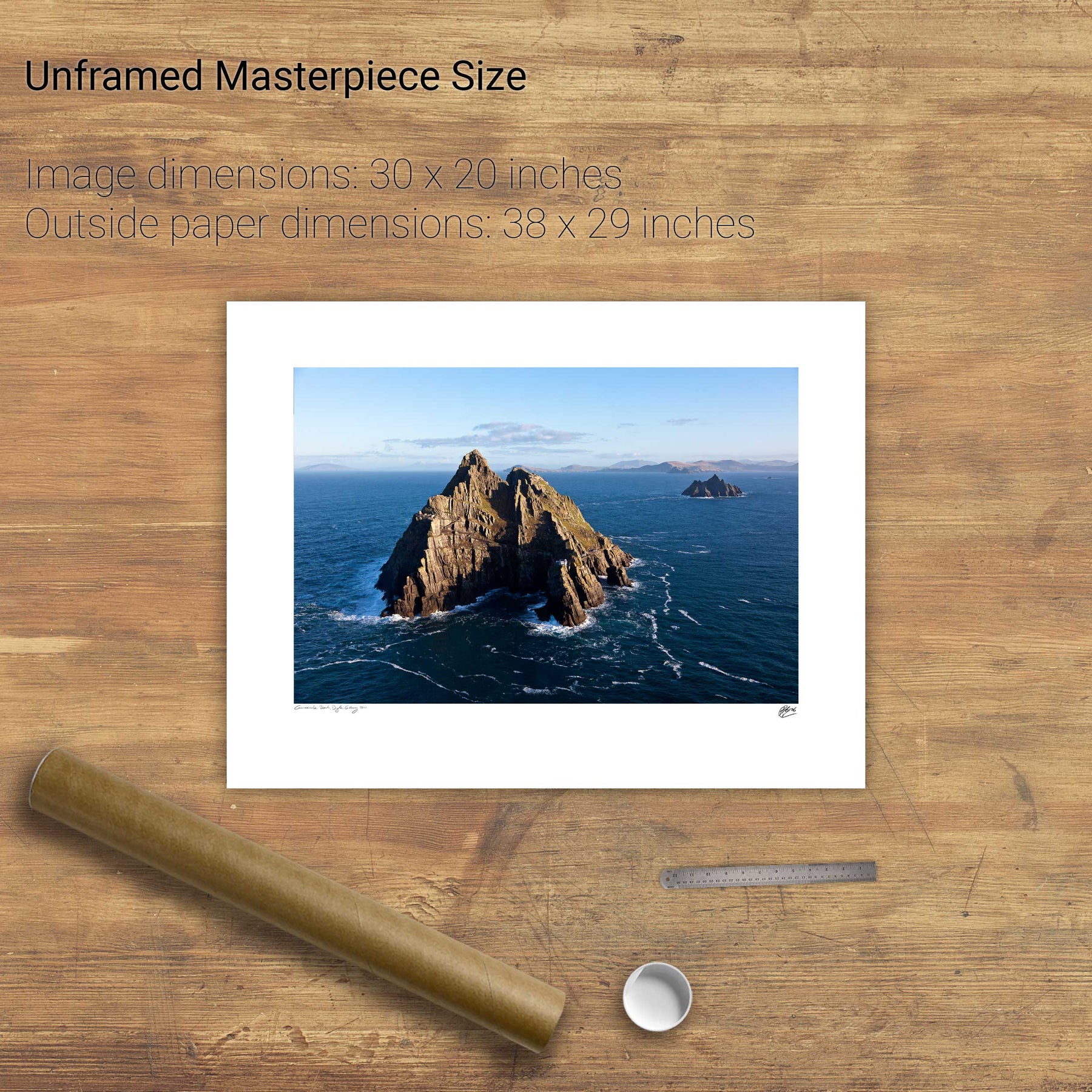
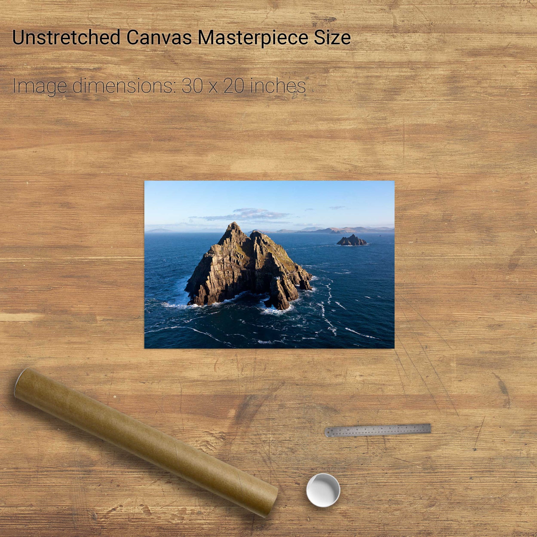
The Skelligs, Co. Kerry
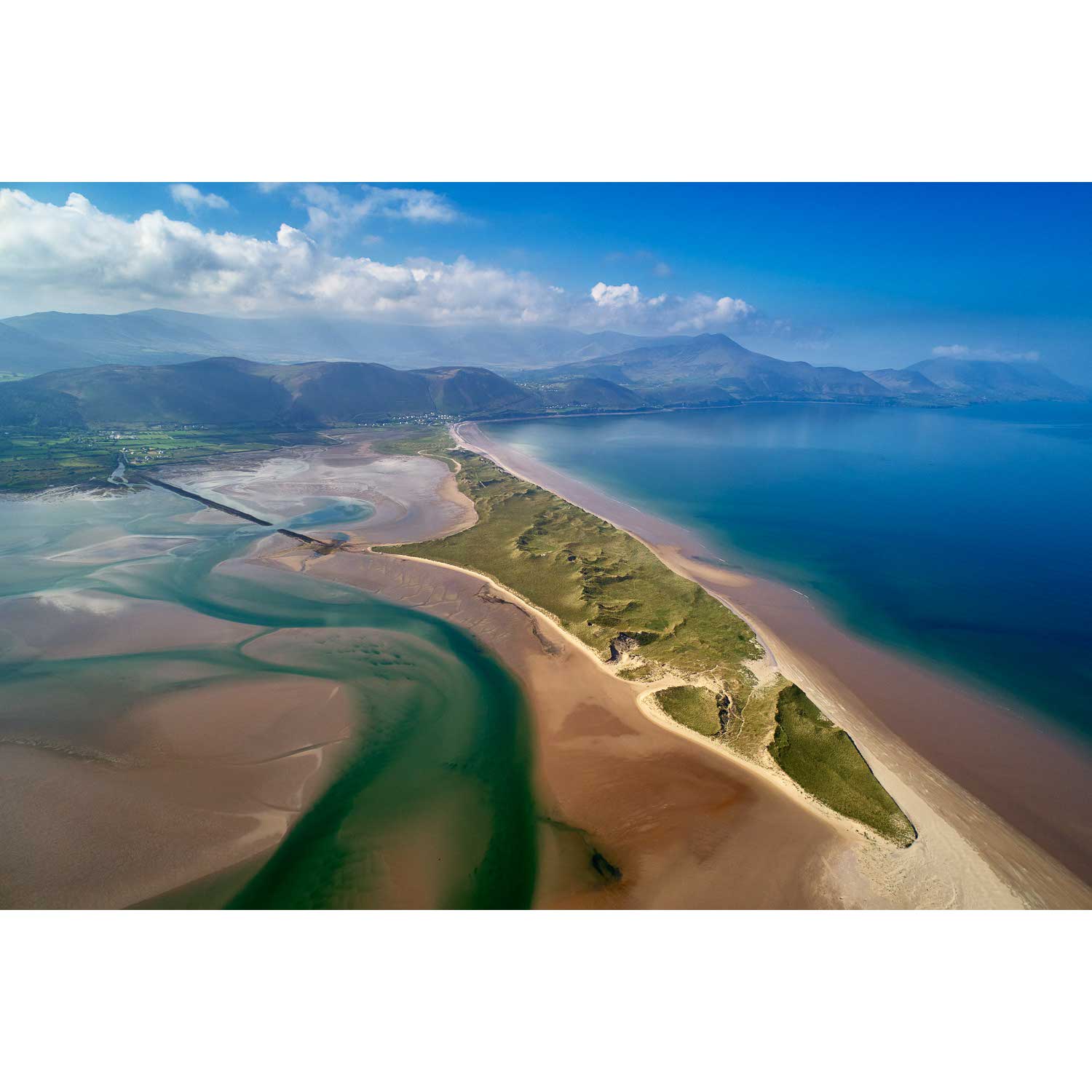
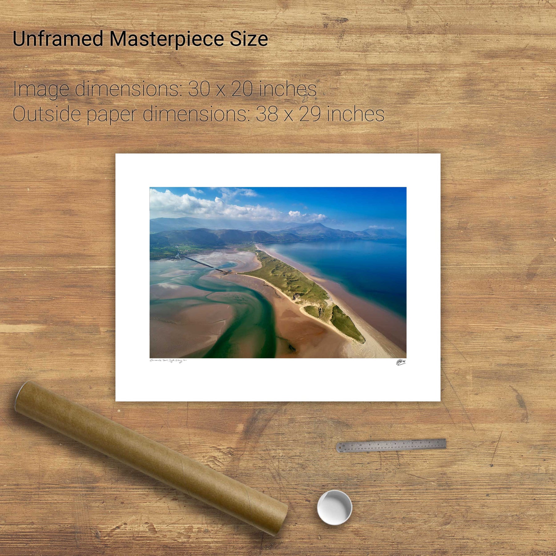
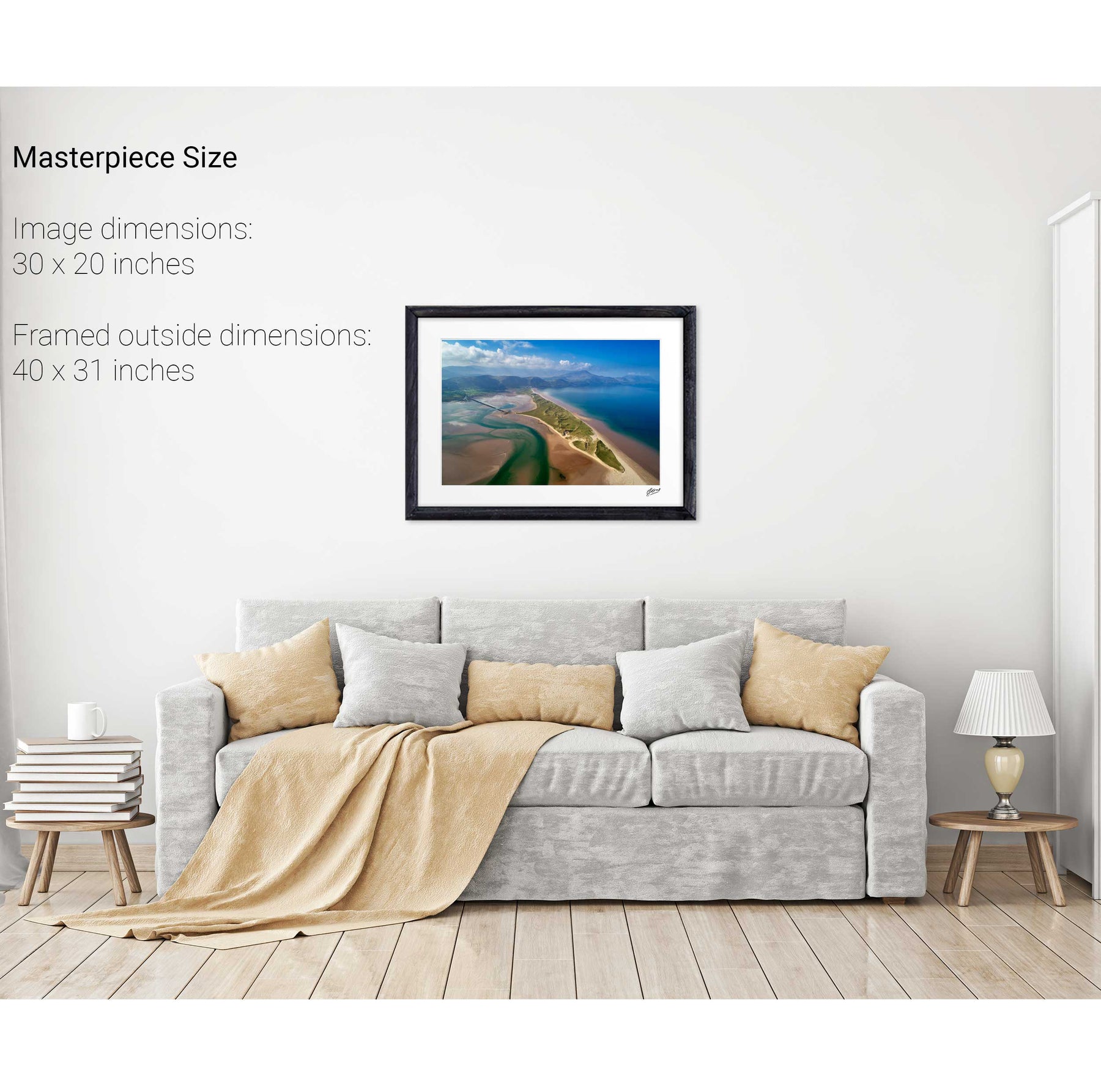
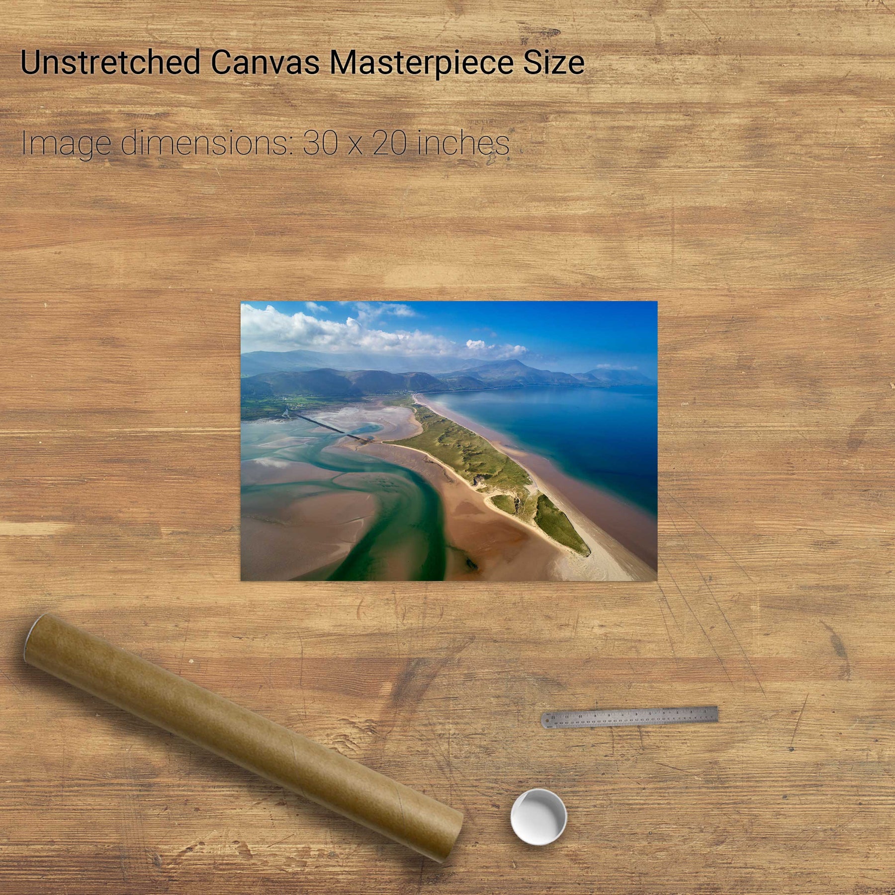
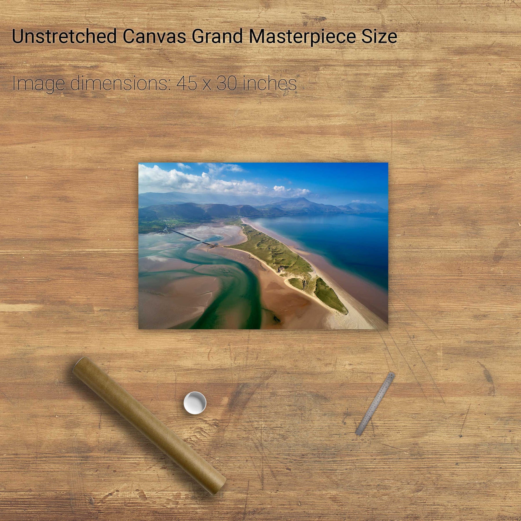
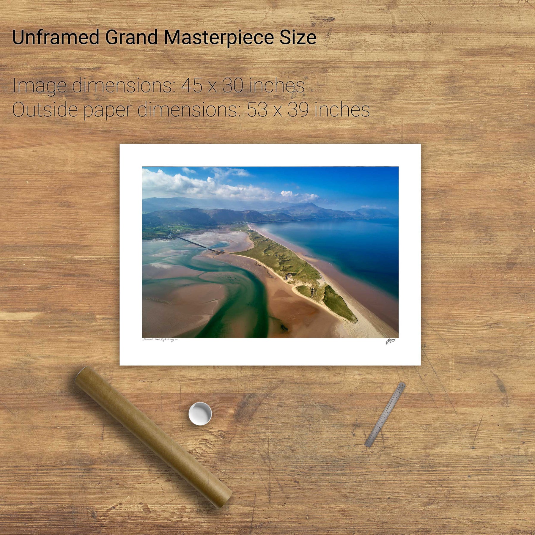
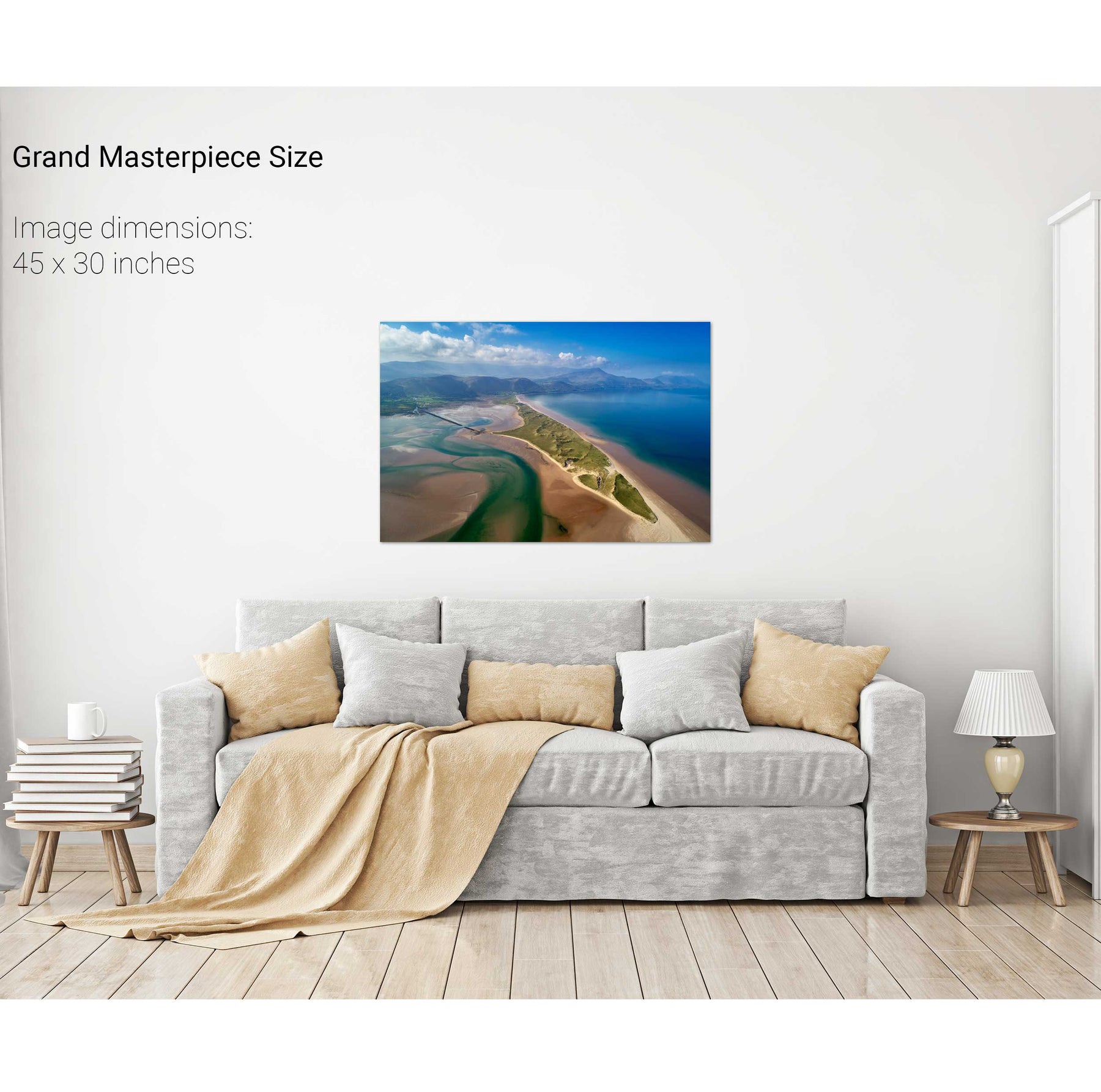
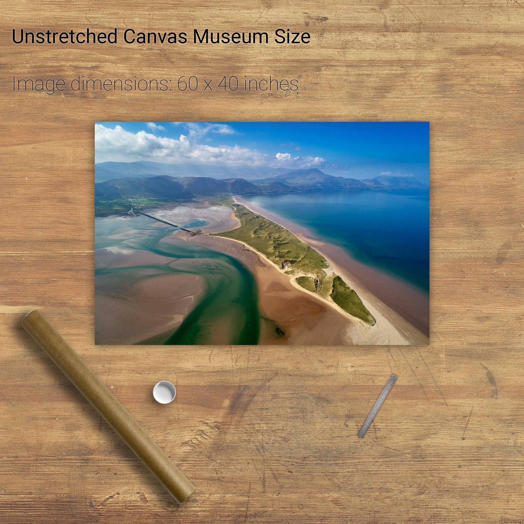
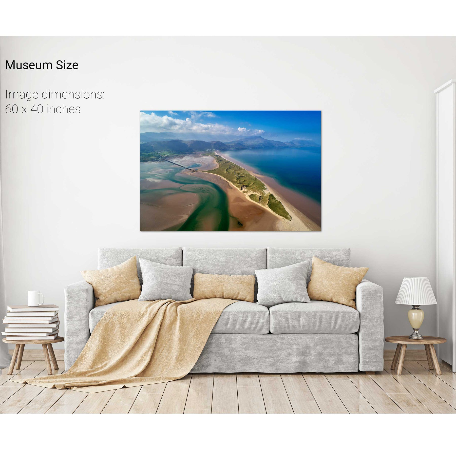
Rossbeigh, Kerry
The Maharees, Co. Kerry
Barley Cove, Co. Cork
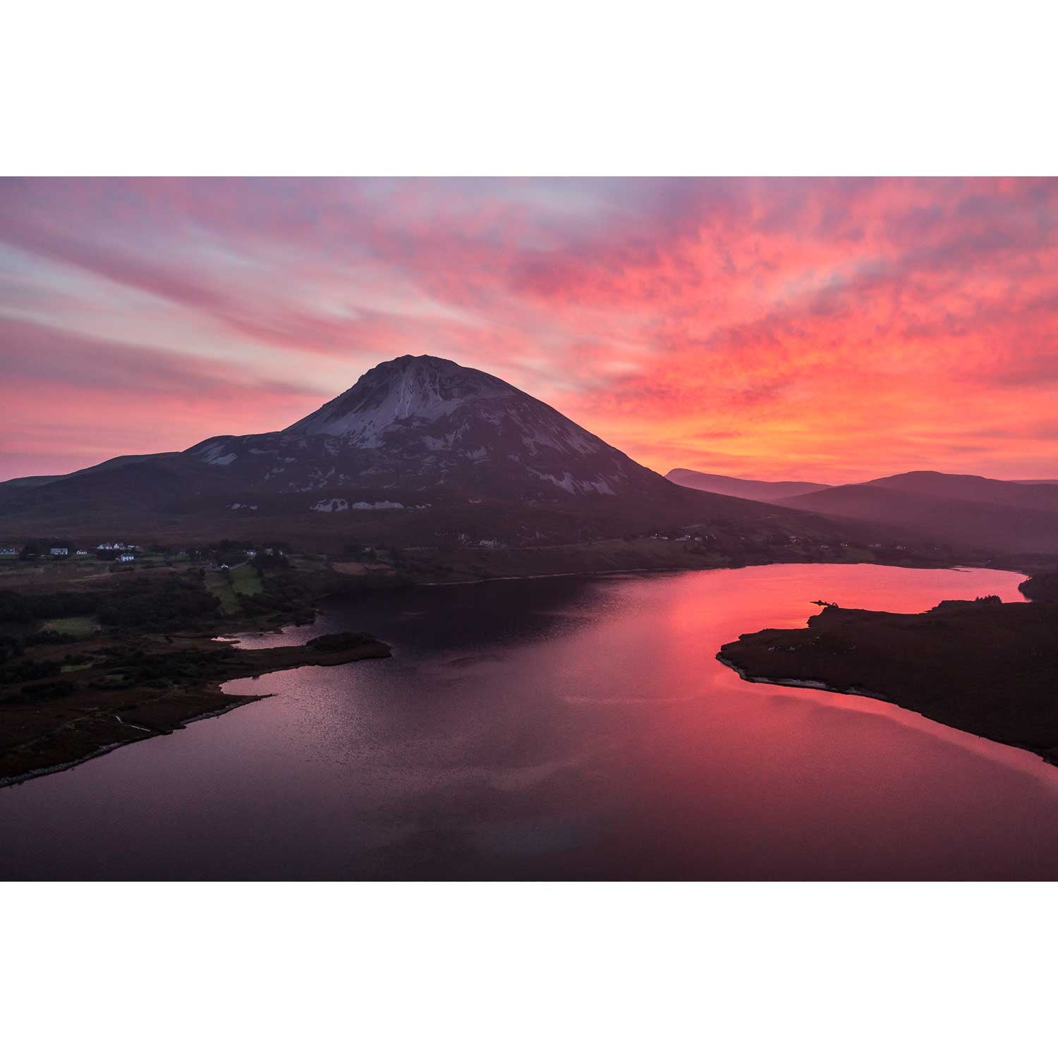
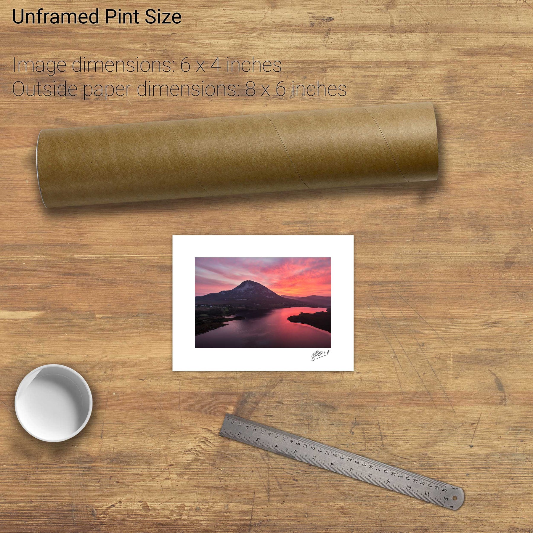
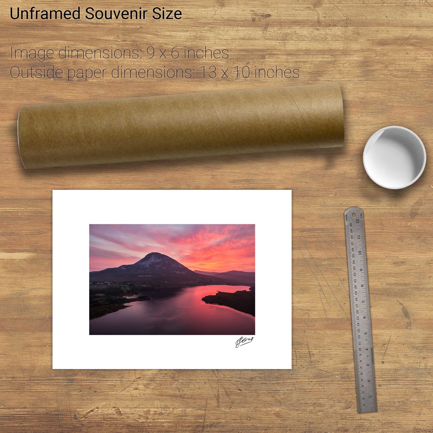
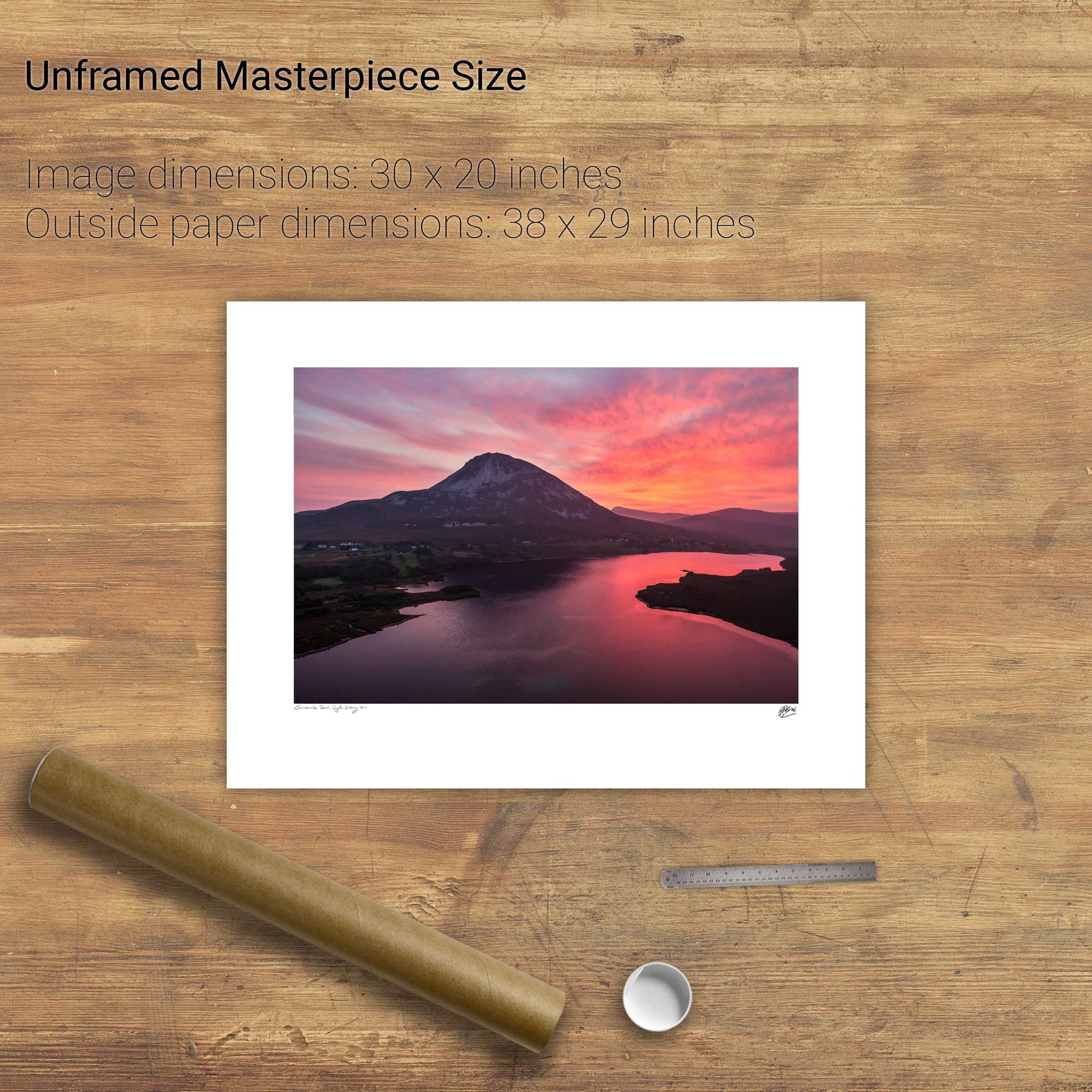
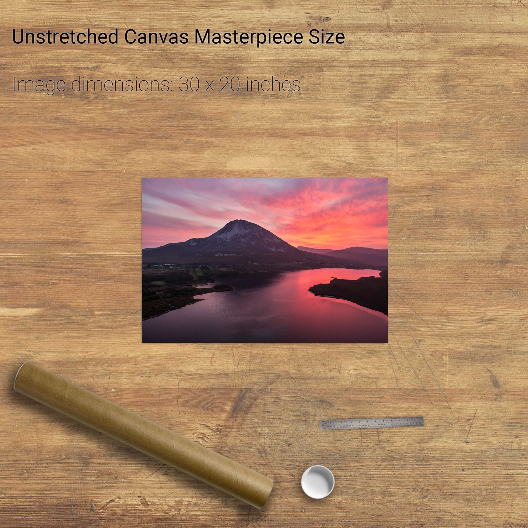
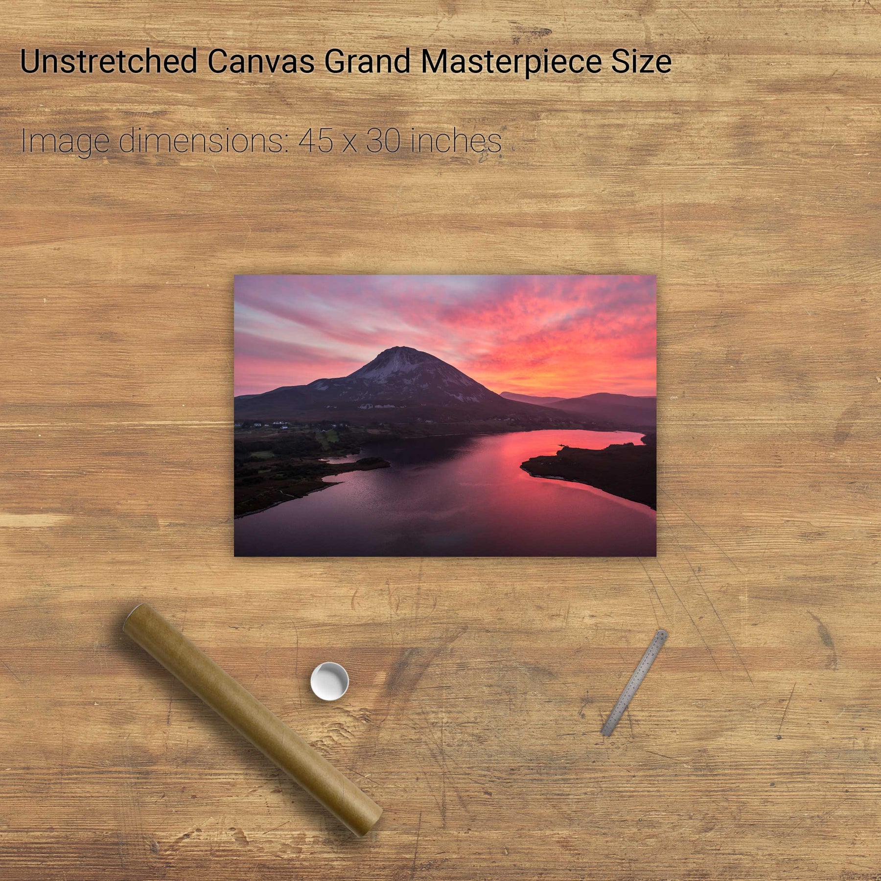
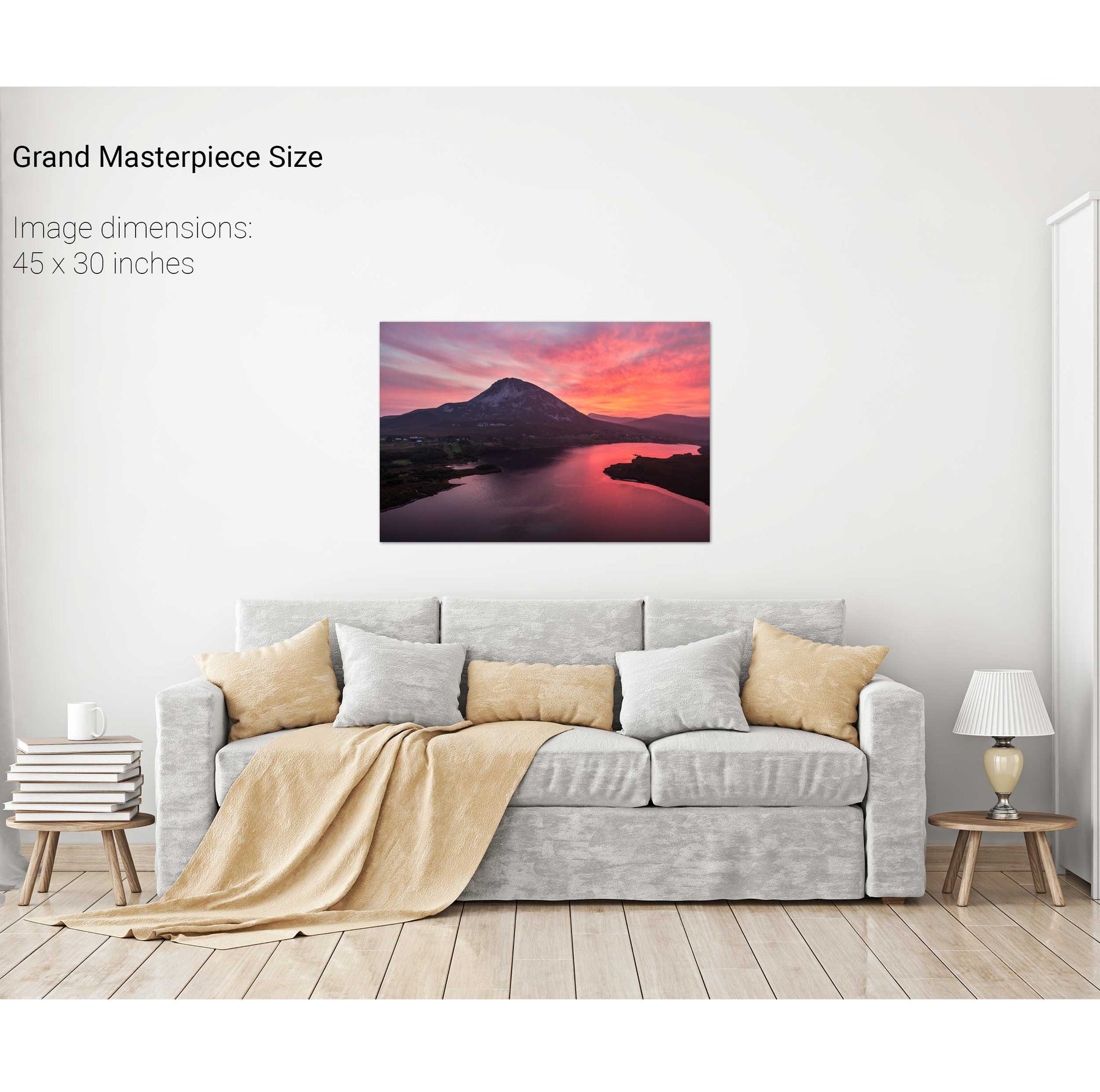
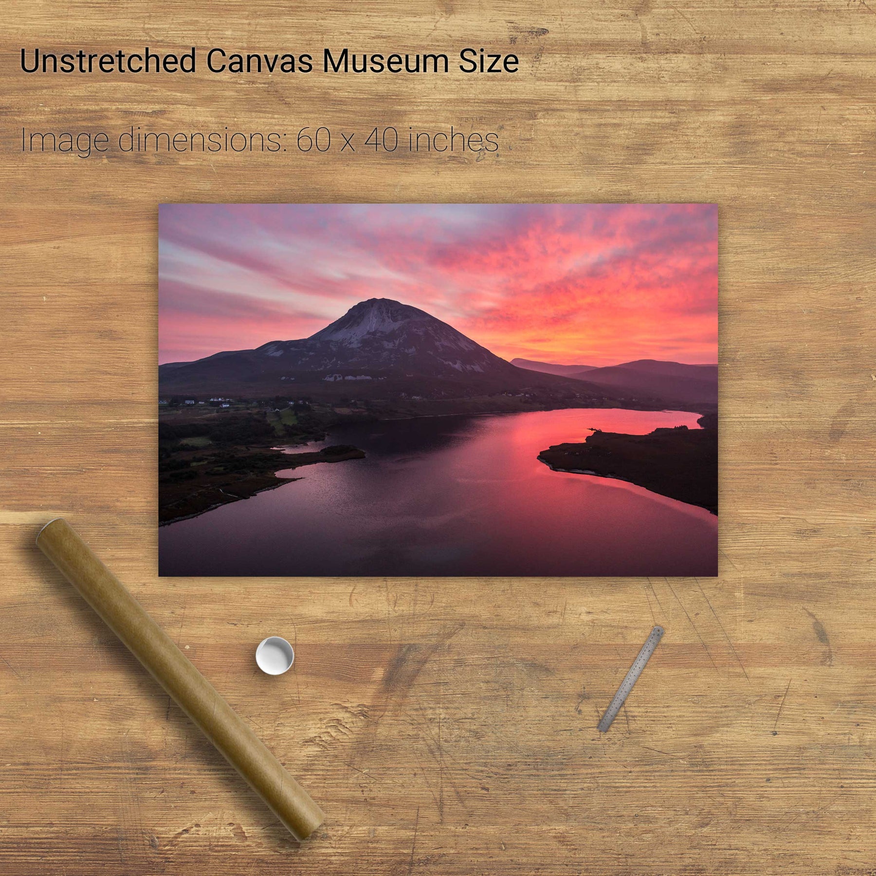
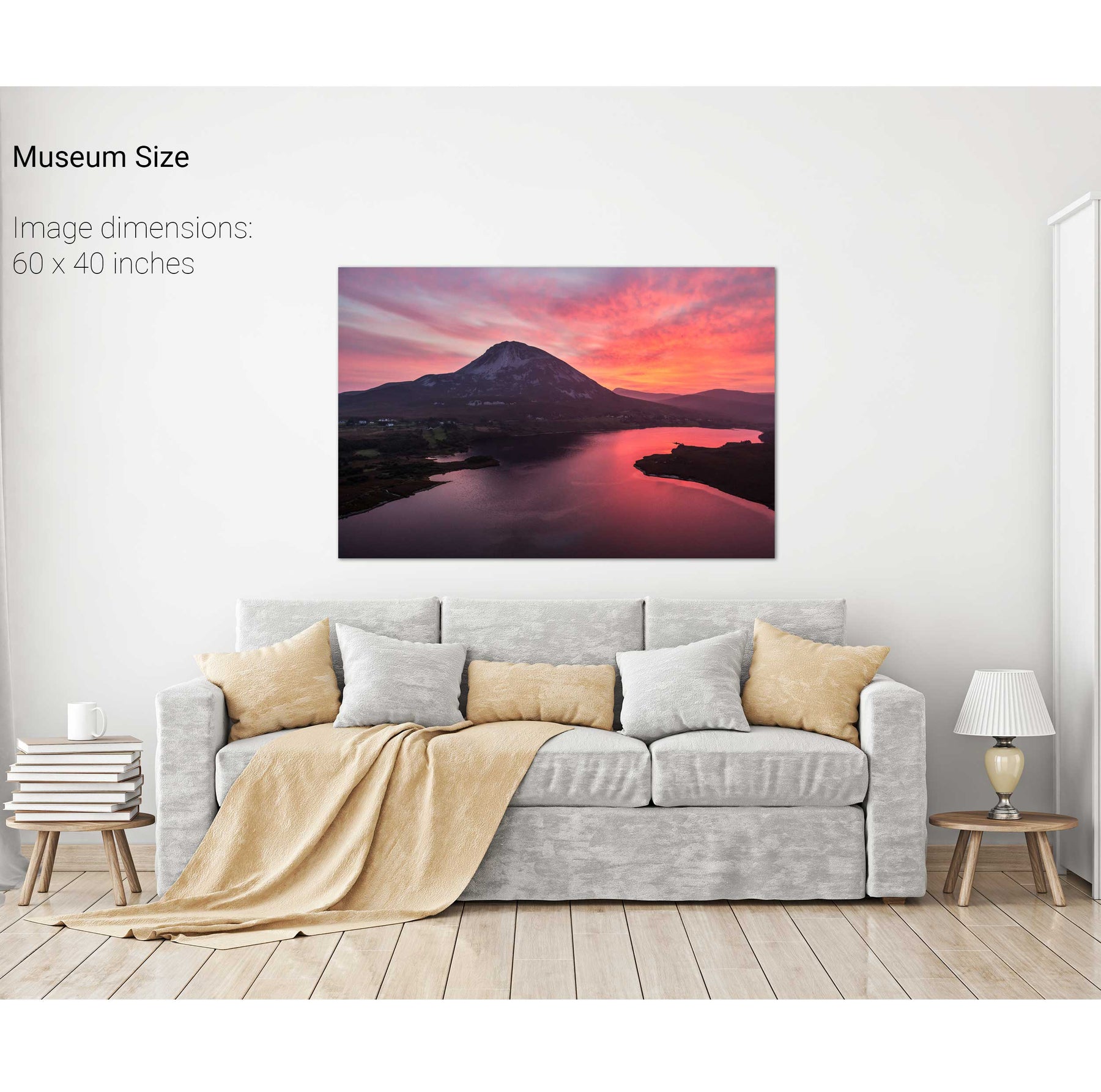
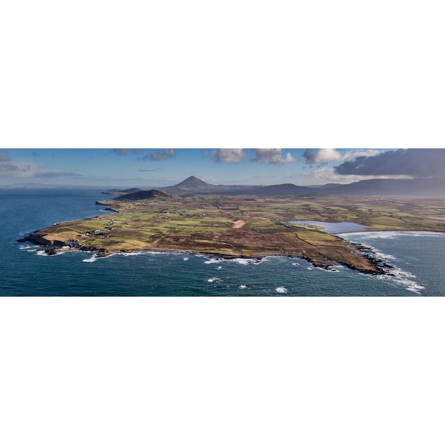
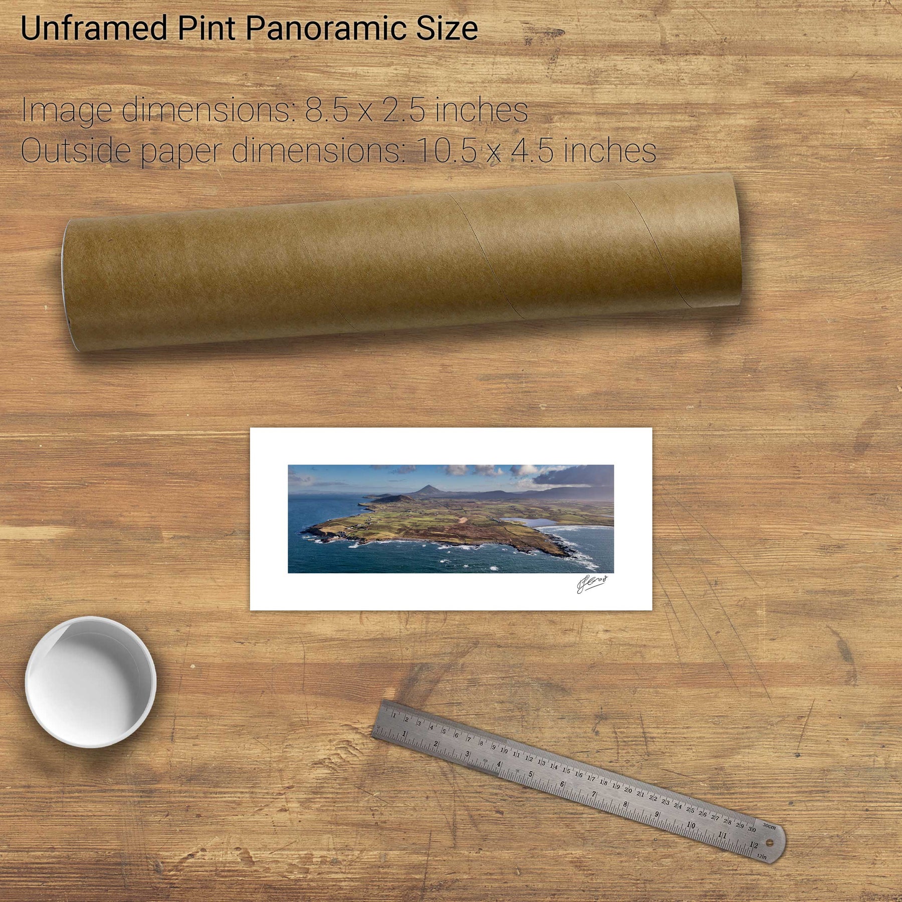
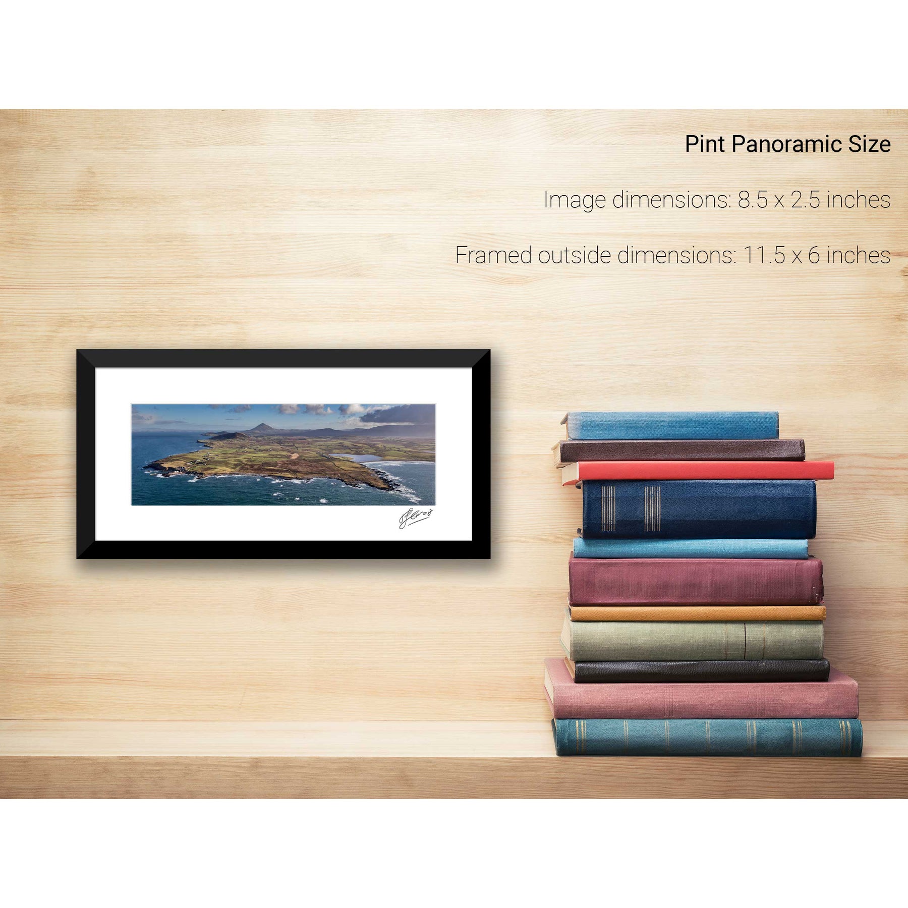
Mount Errigal, Co. Donegal
Ardnakinna, Bere Island, Co. Cork
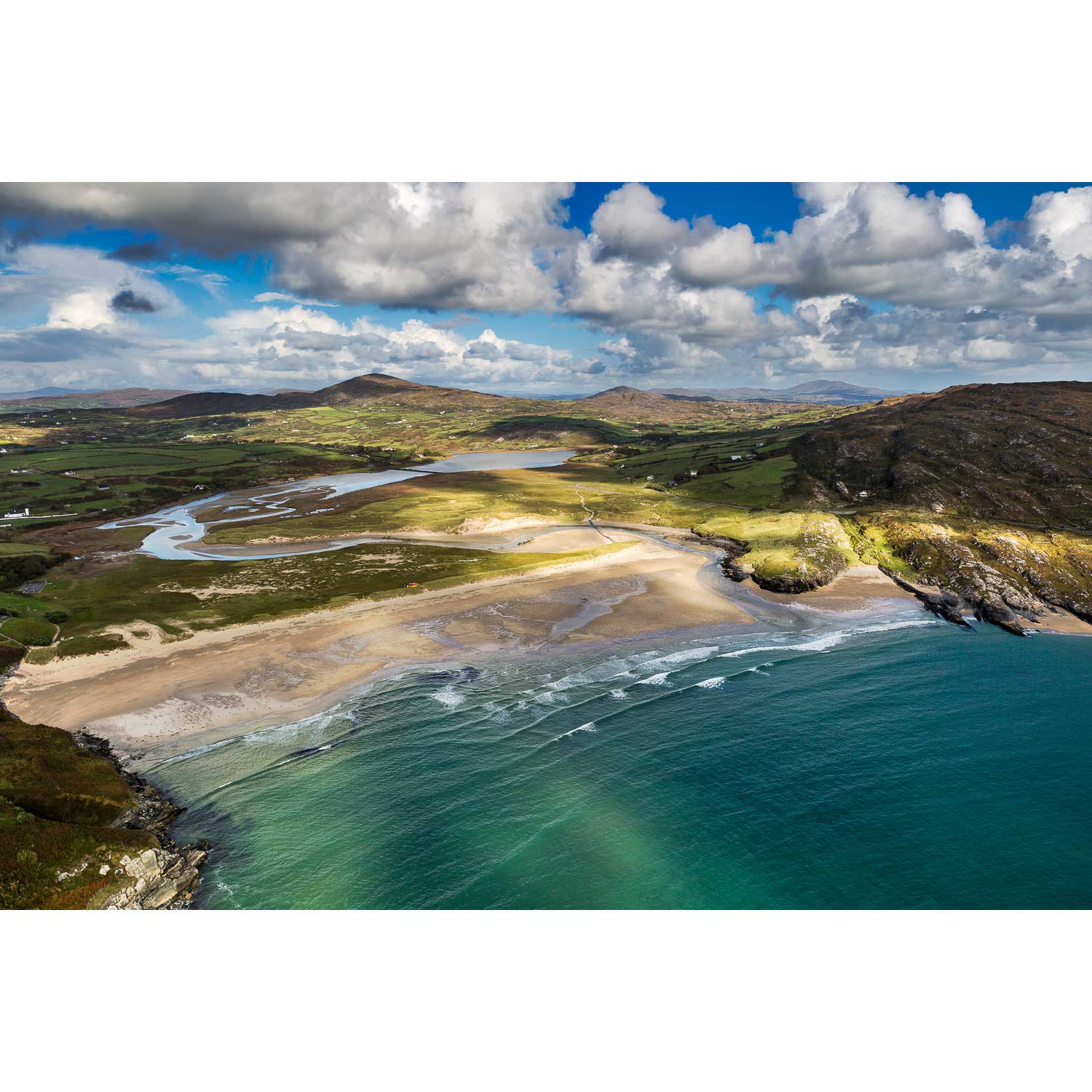
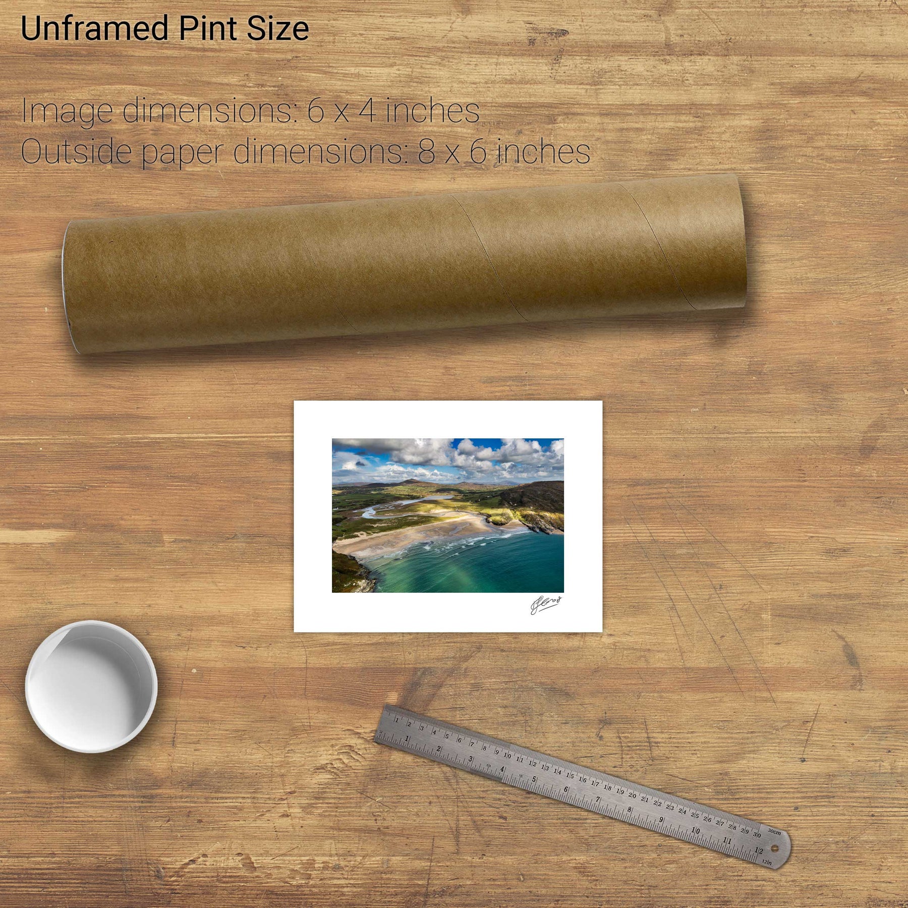
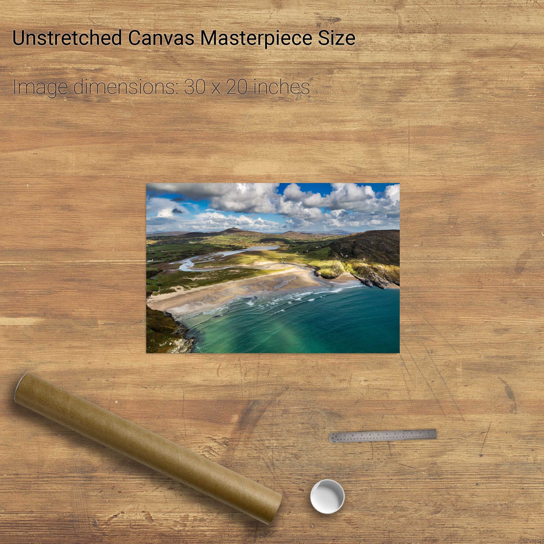
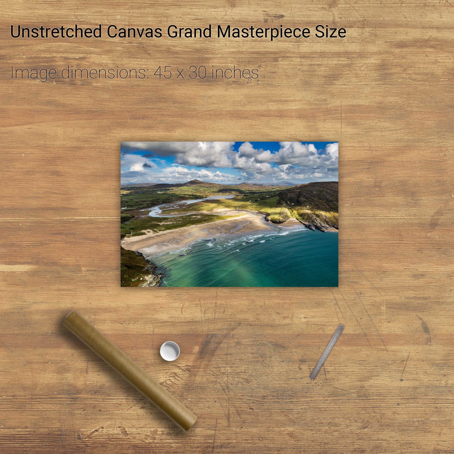
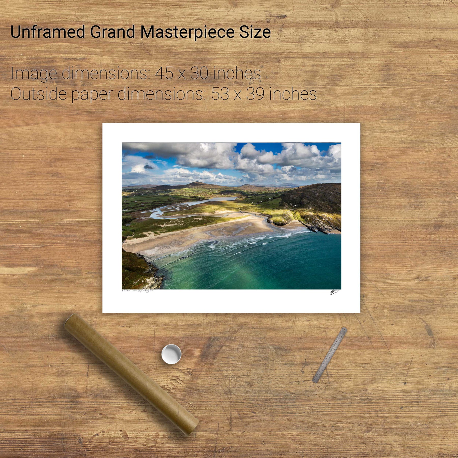
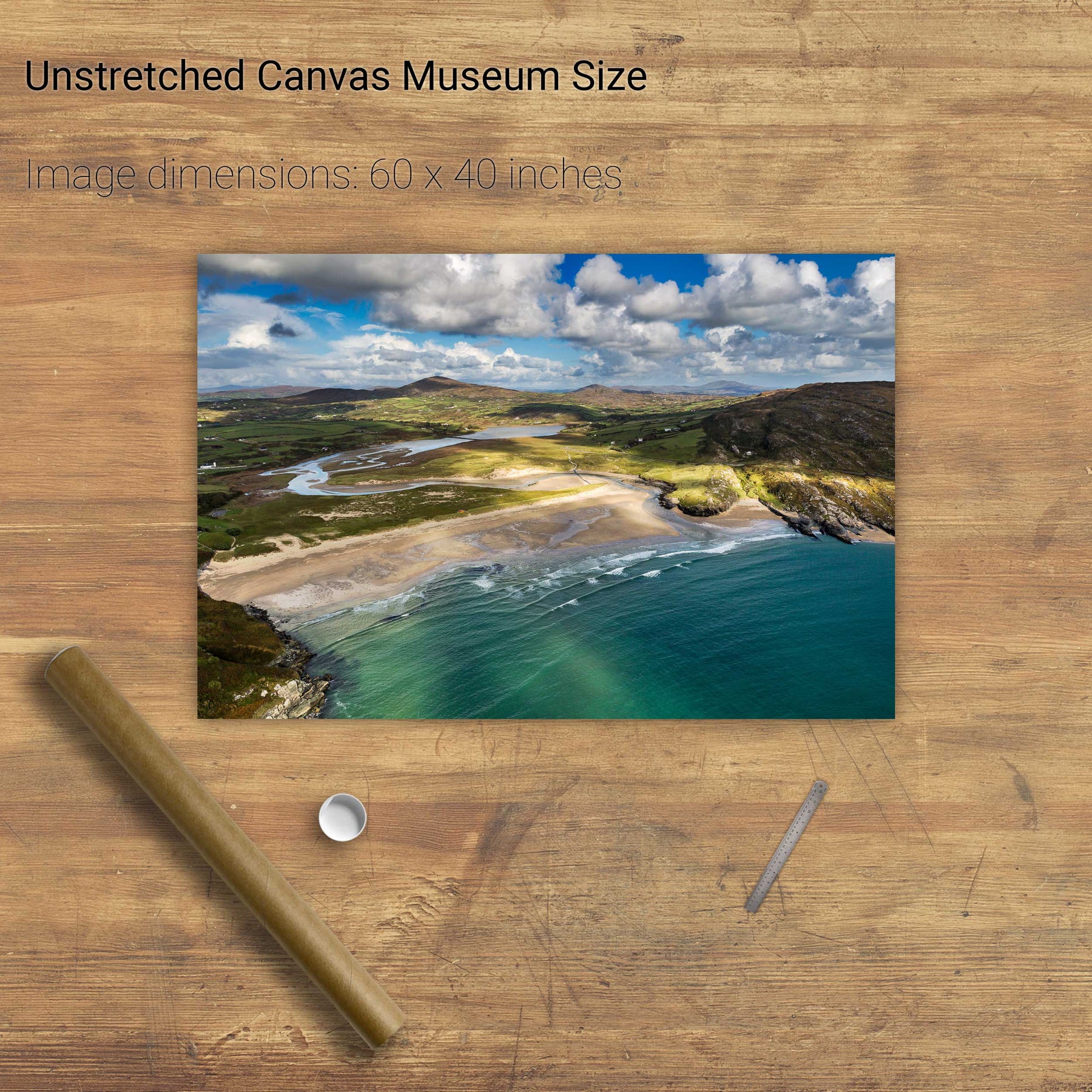
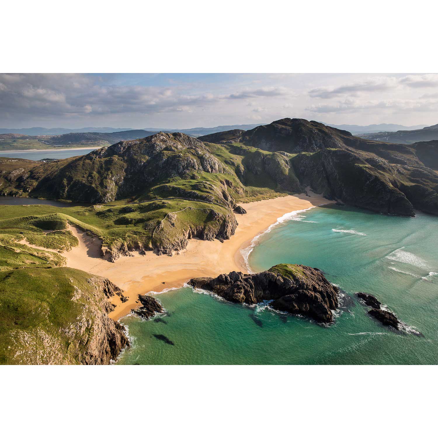
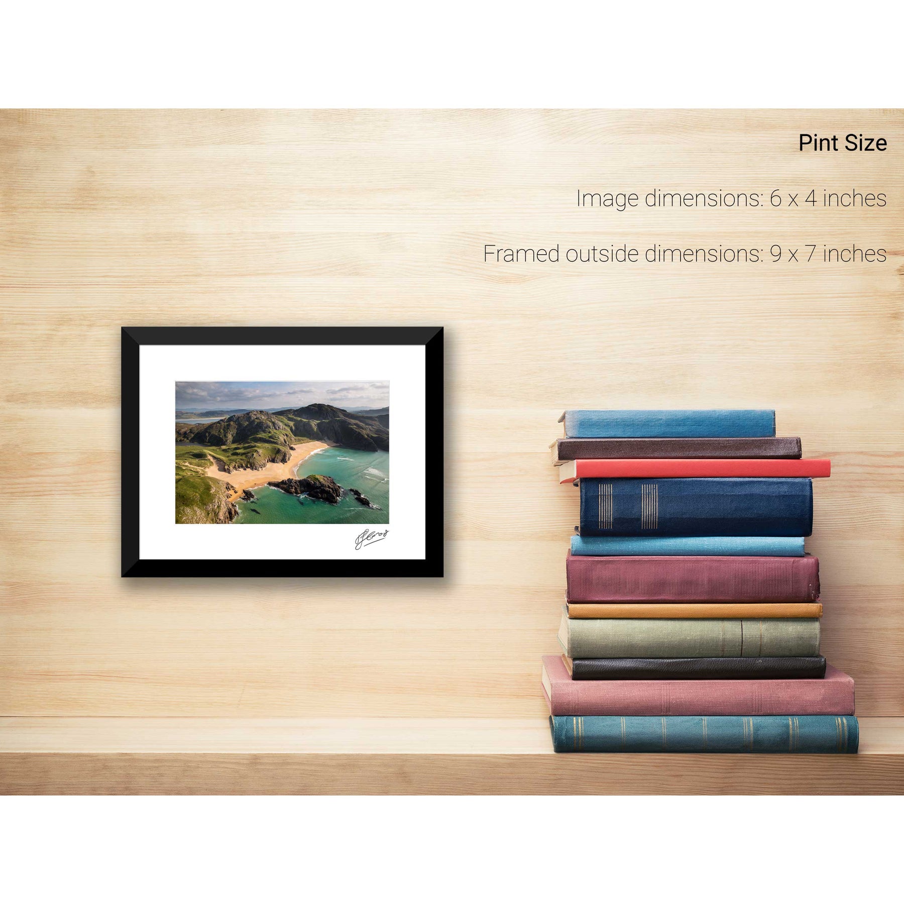
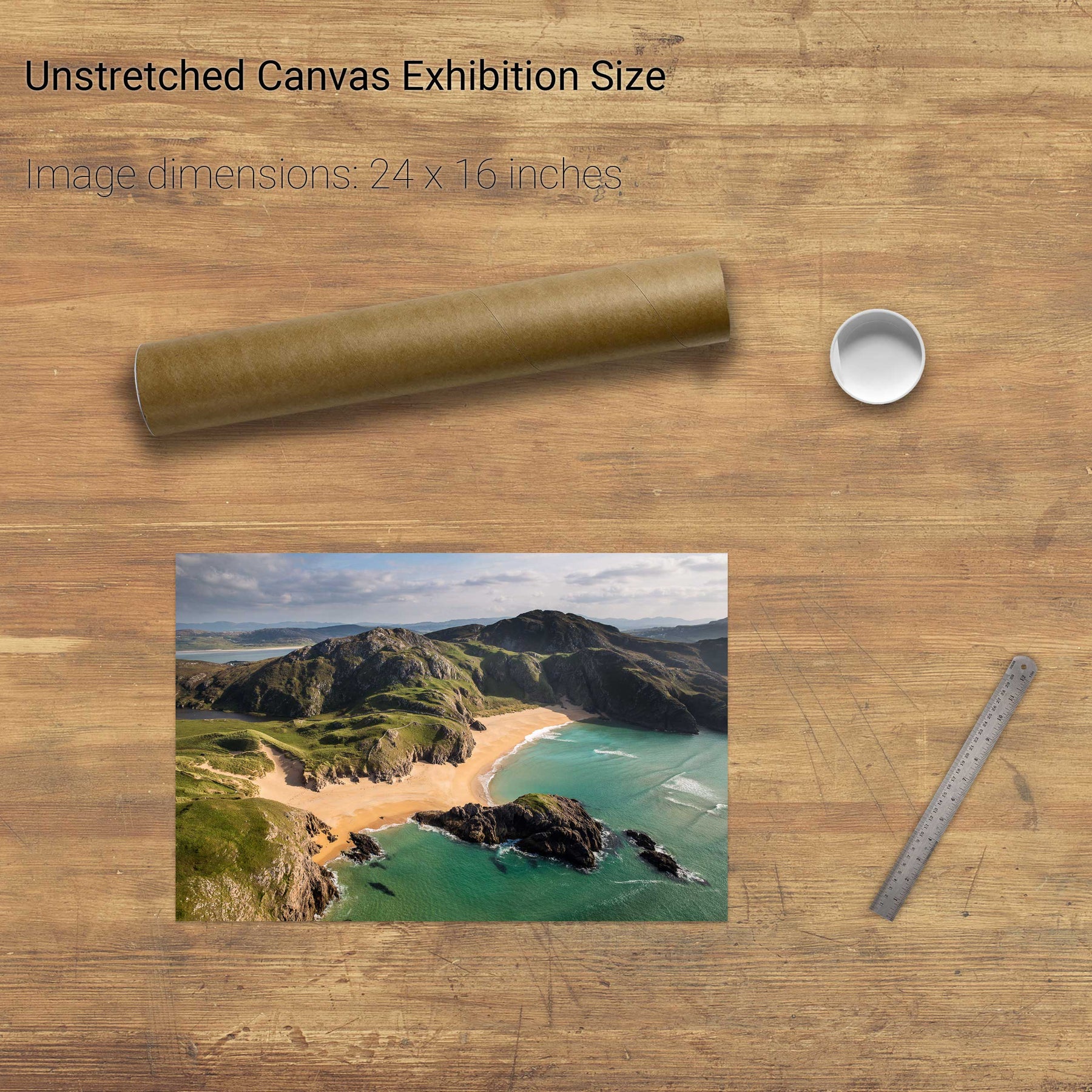
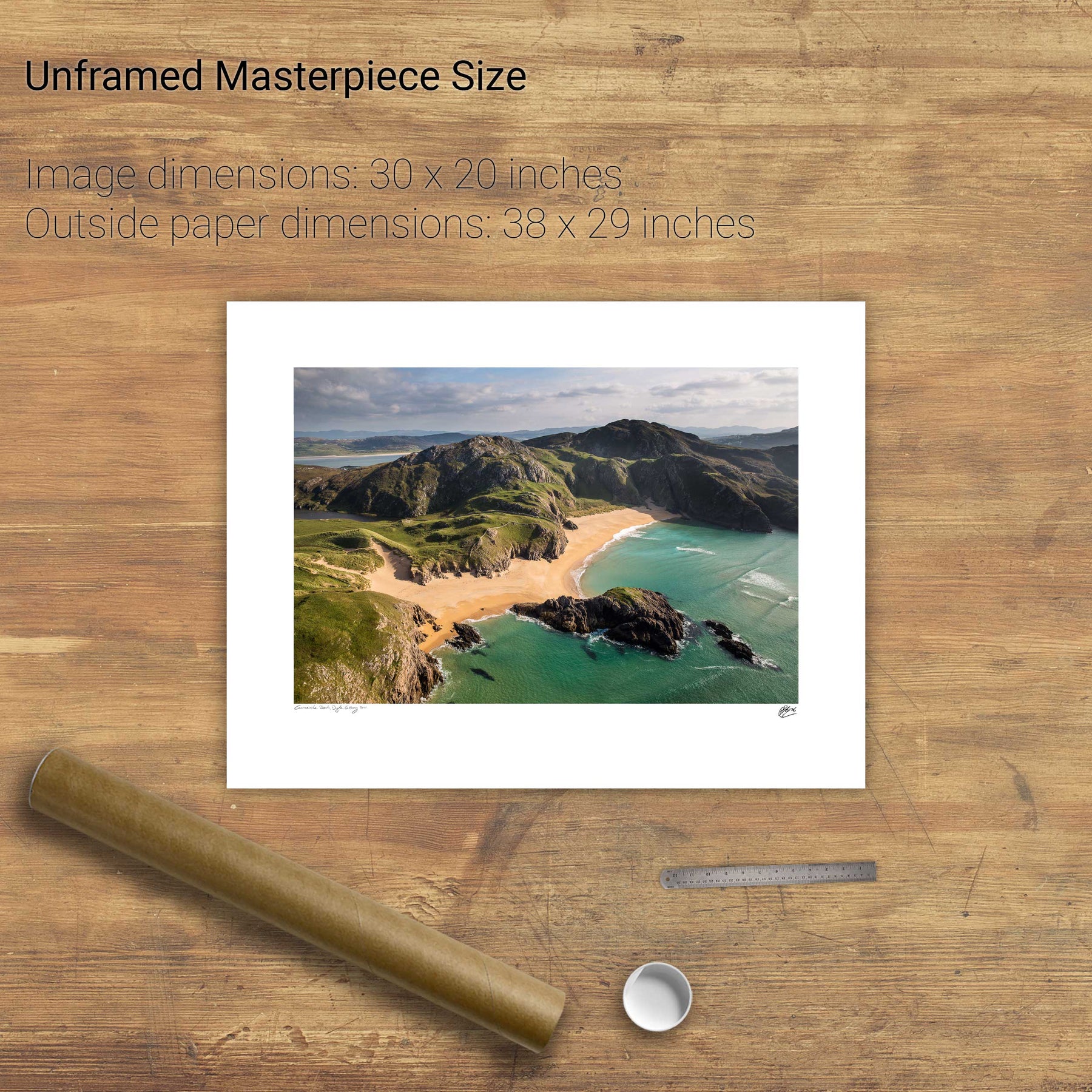
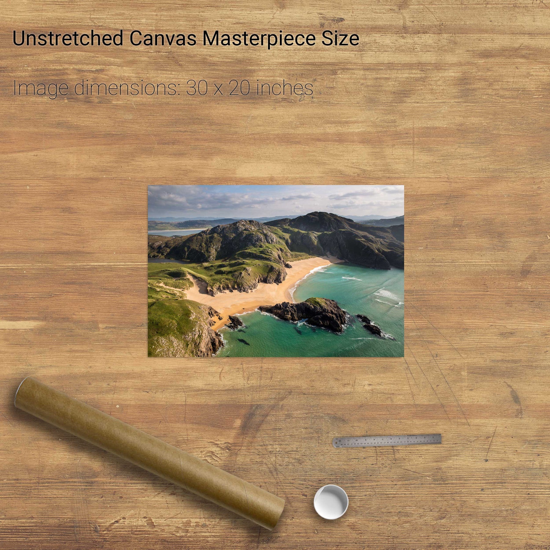
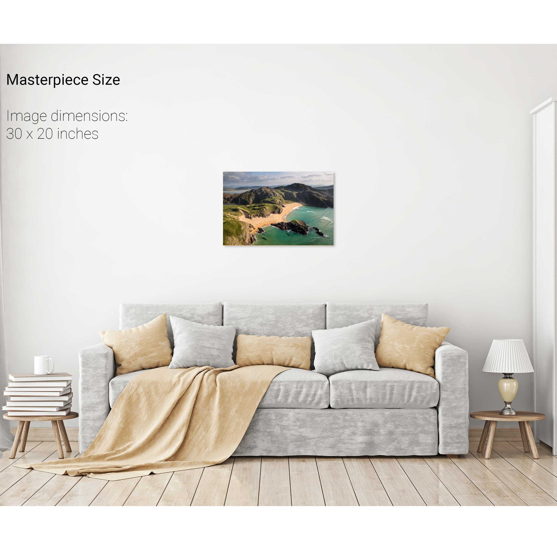
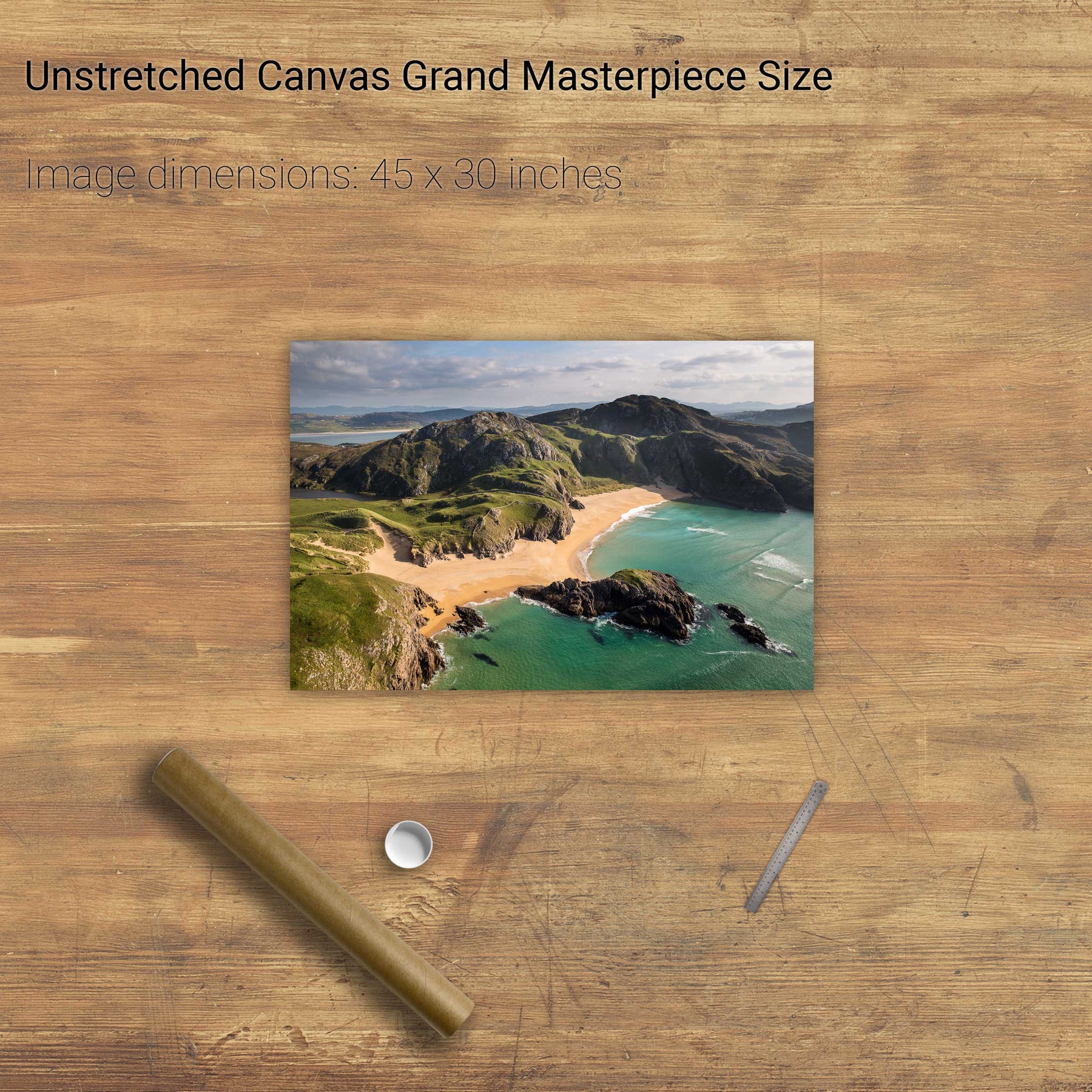
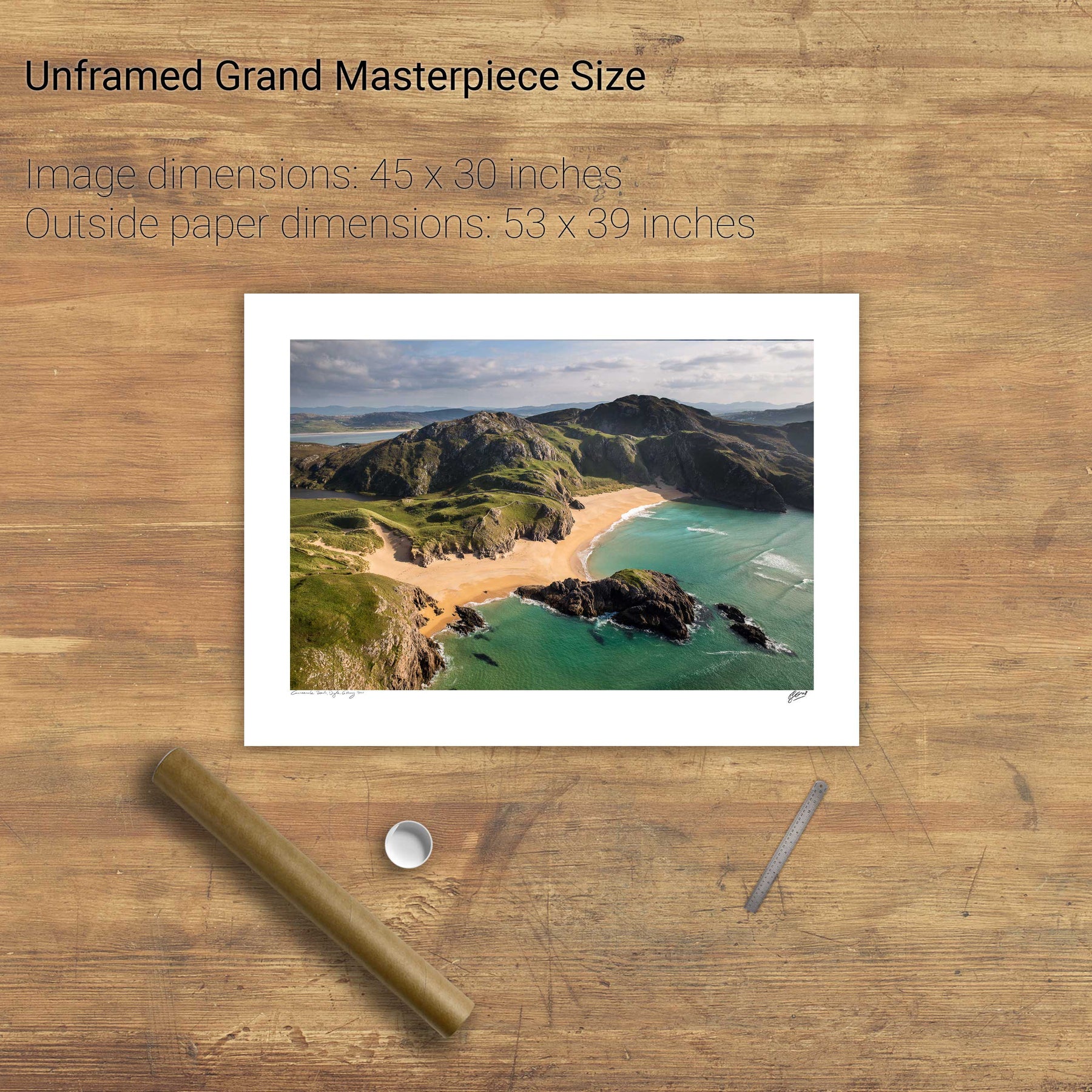
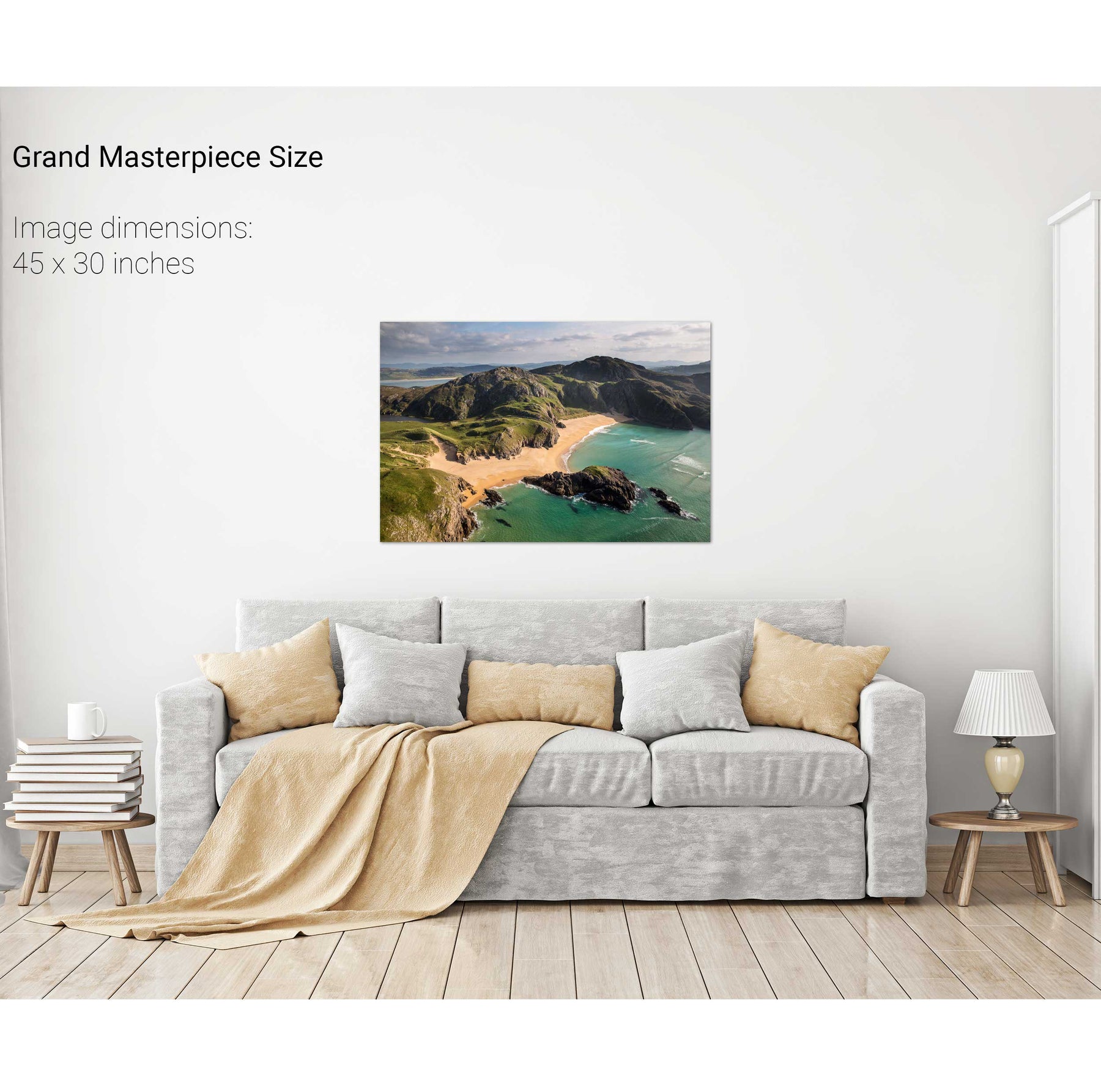
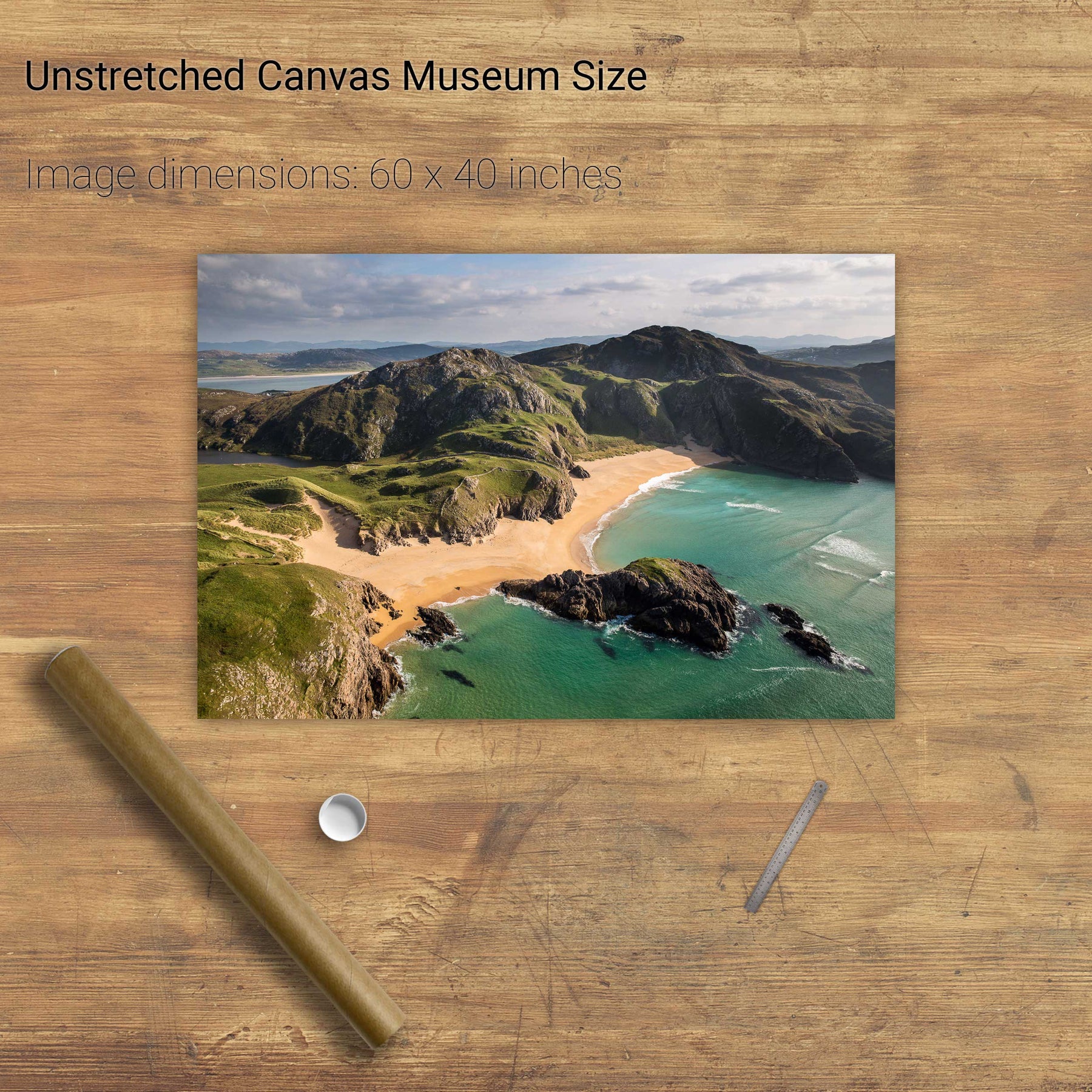
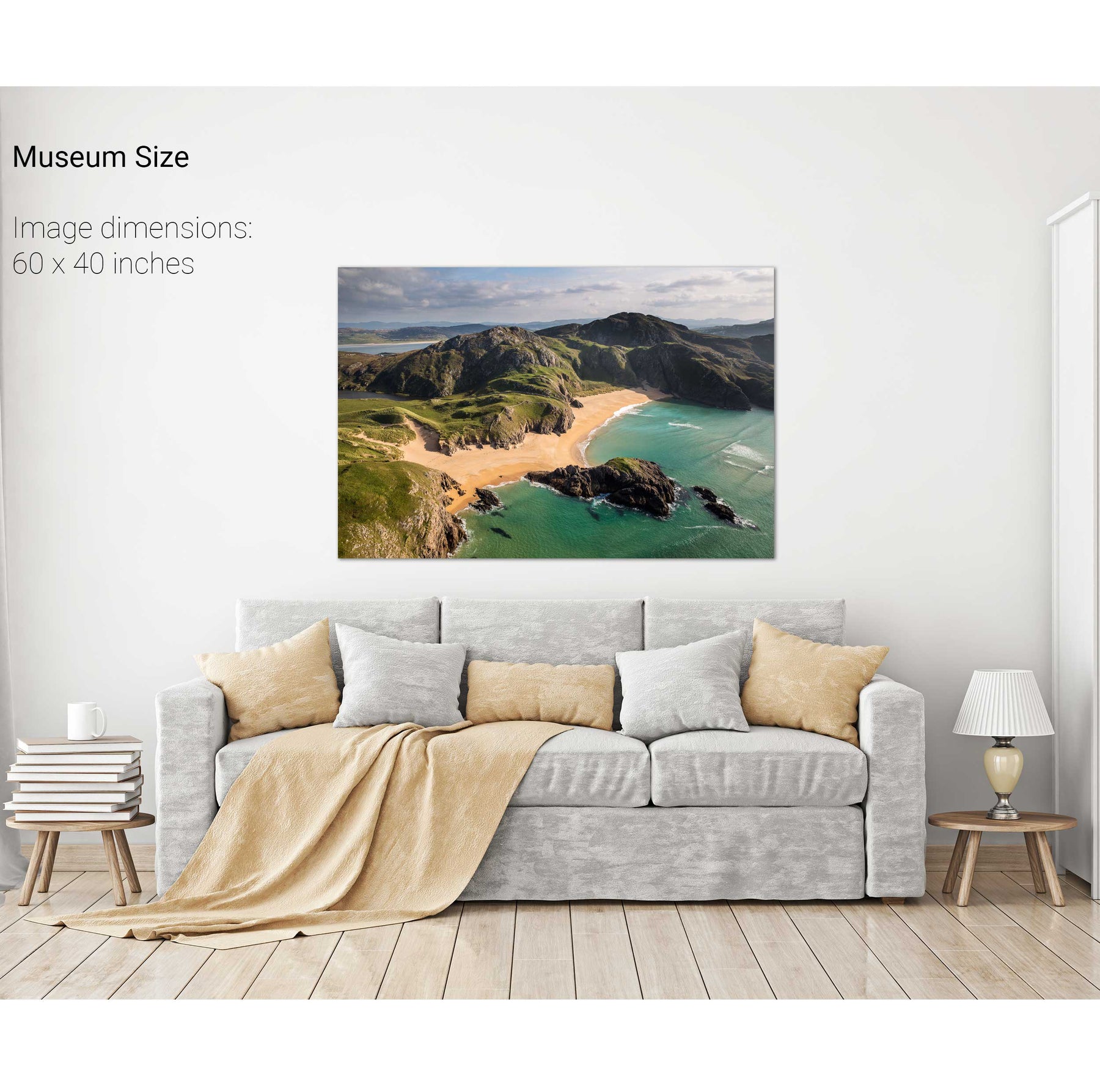
Boyeeghter Strand, Co. Donegal
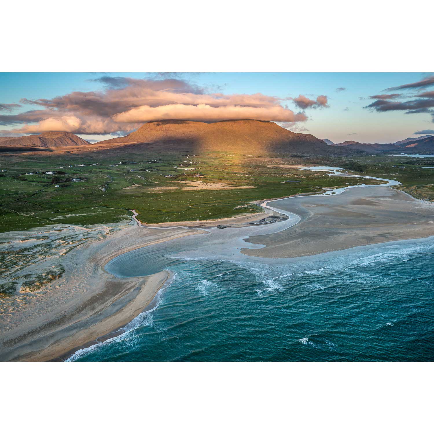
Roonagh Point, Co. Mayo
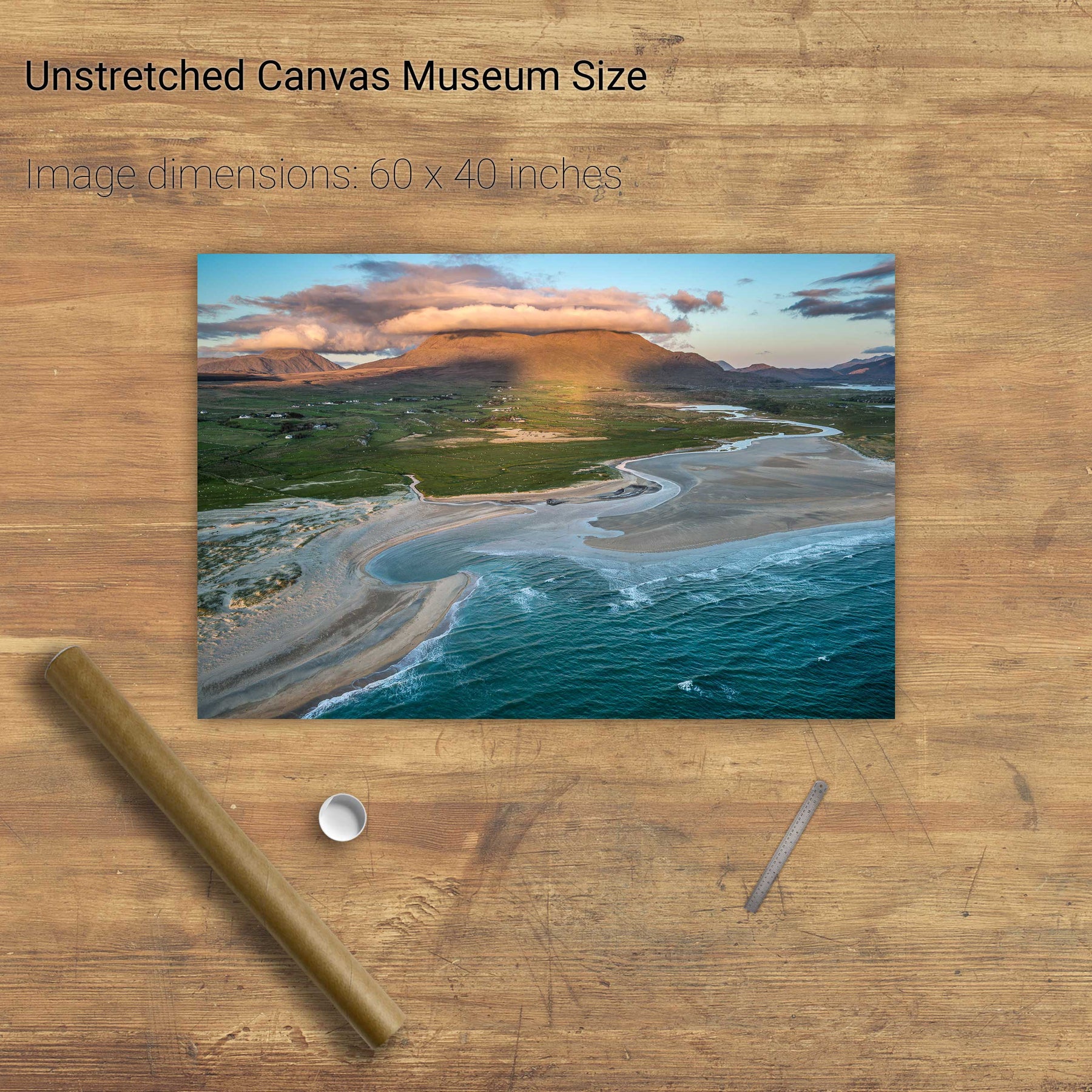
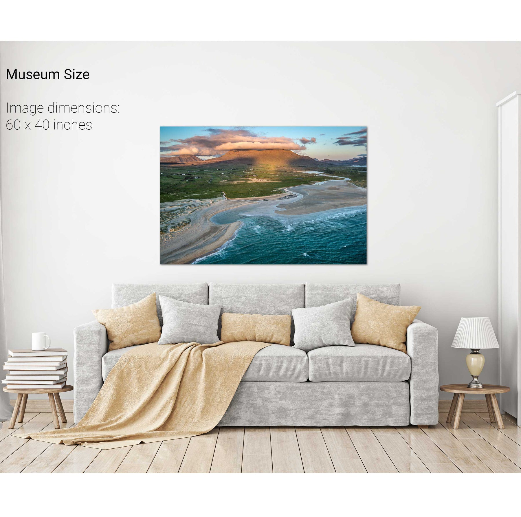
White Strand, Co. Mayo
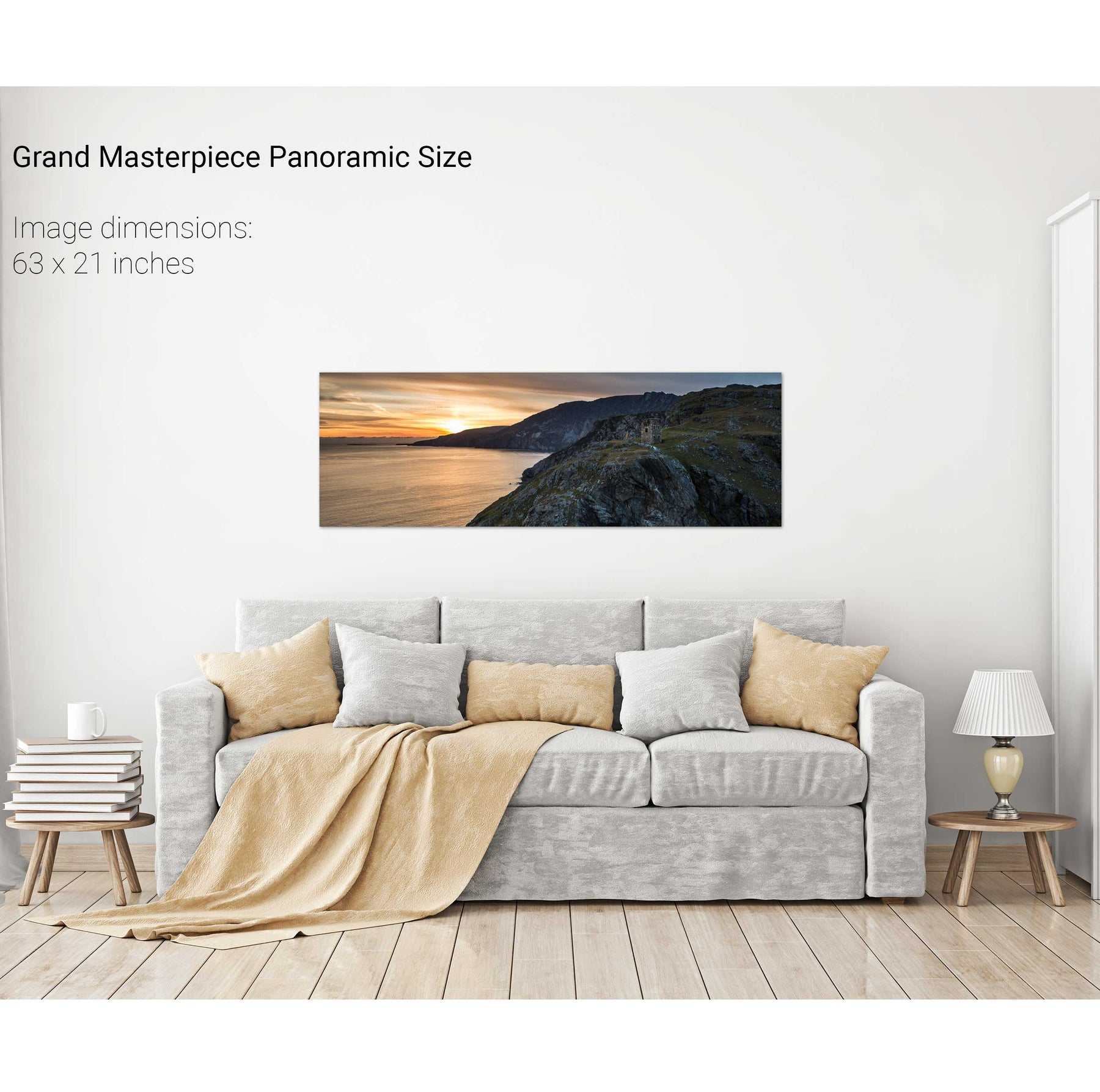
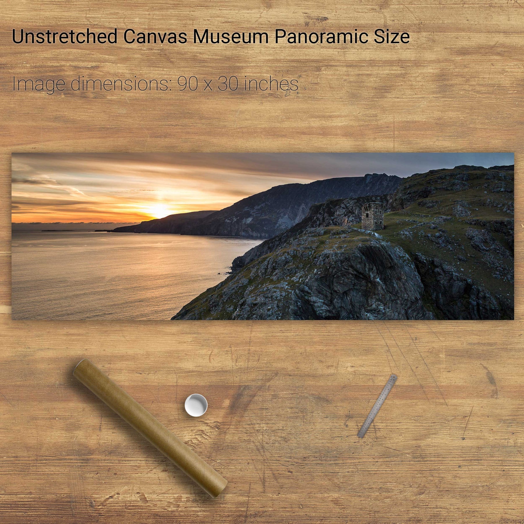
Slieve League Cliffs, Co. Donegal
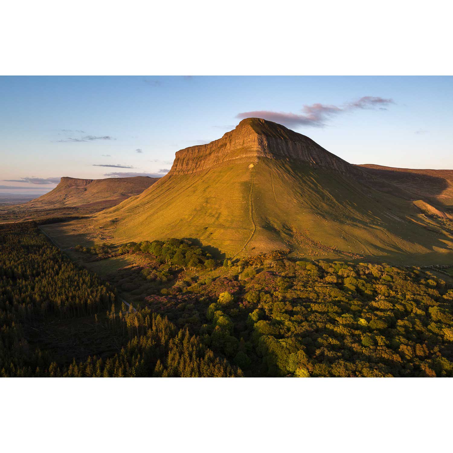
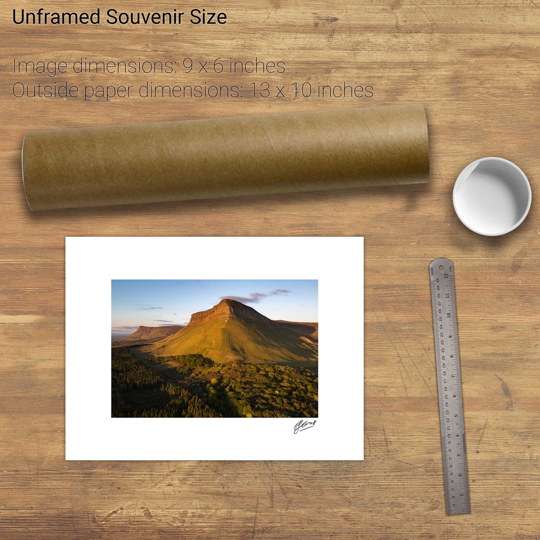
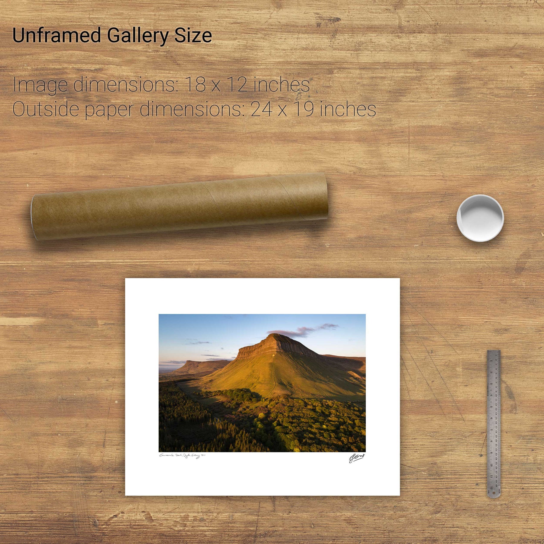
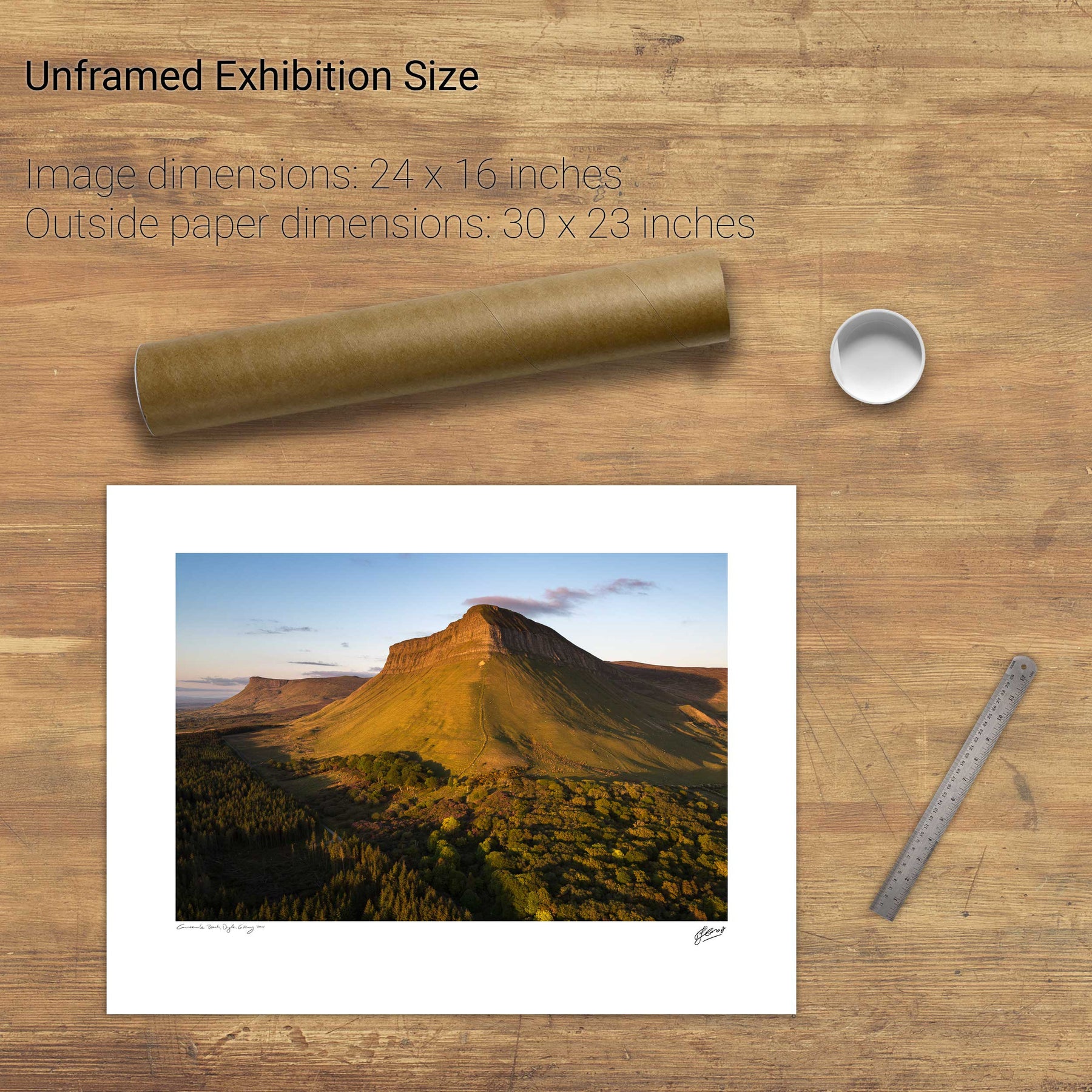
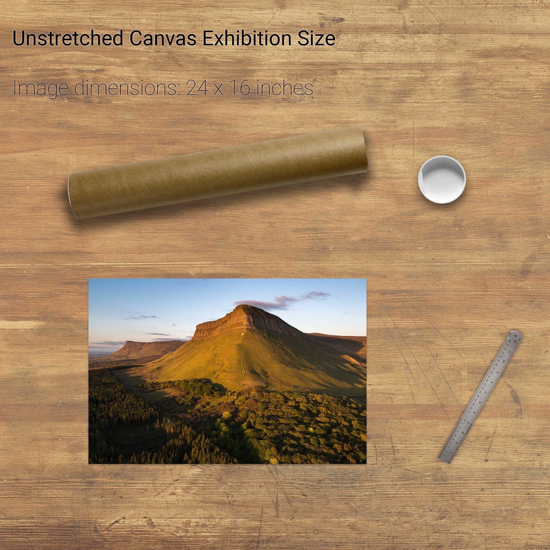
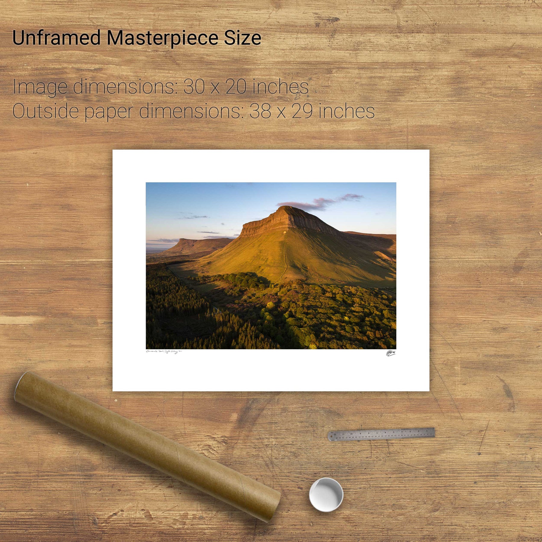
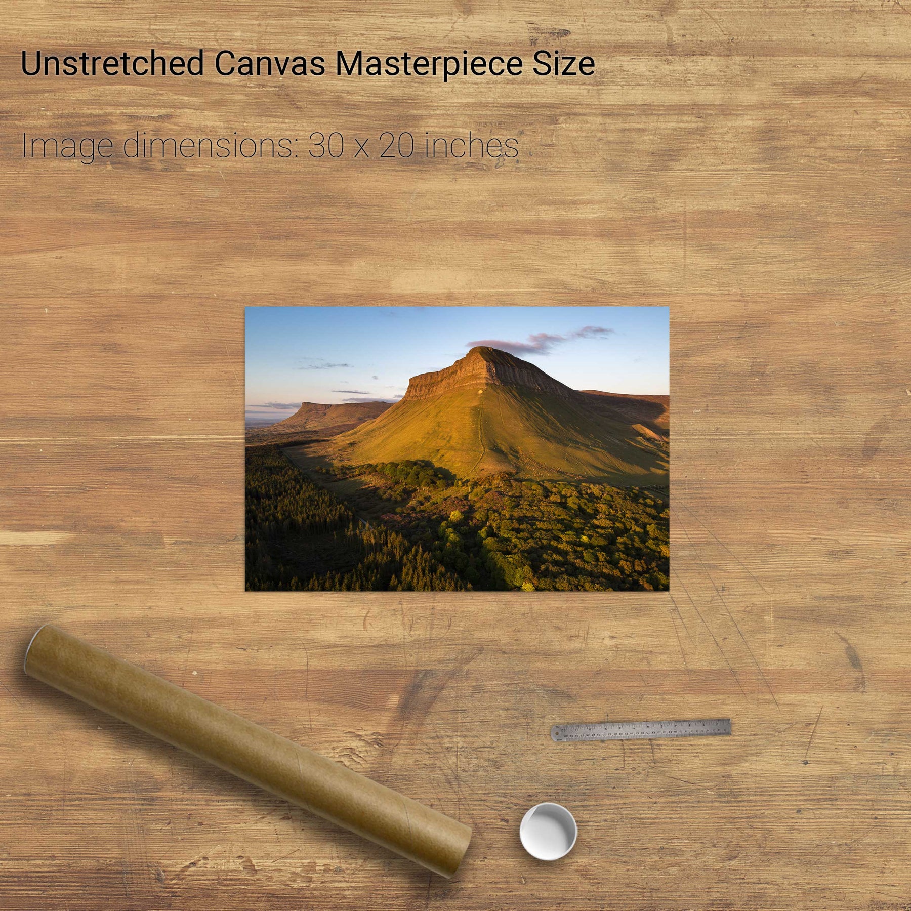
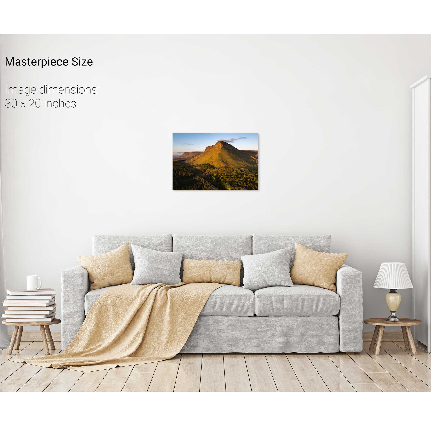
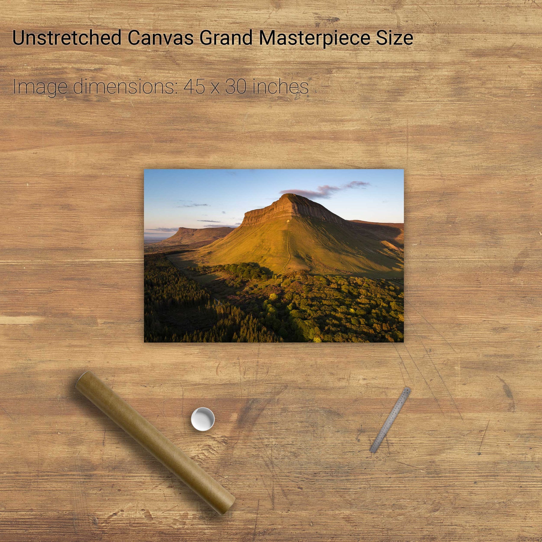
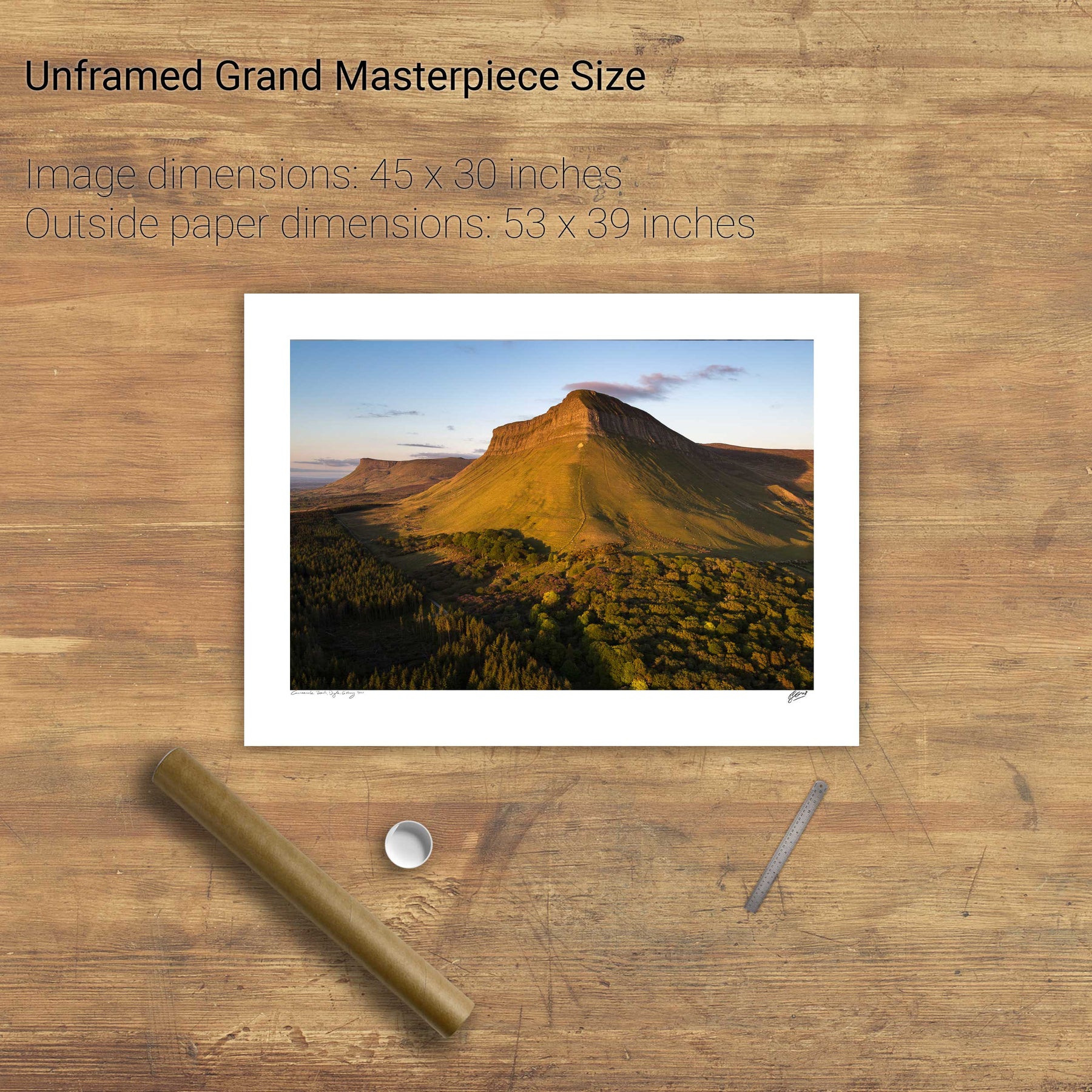
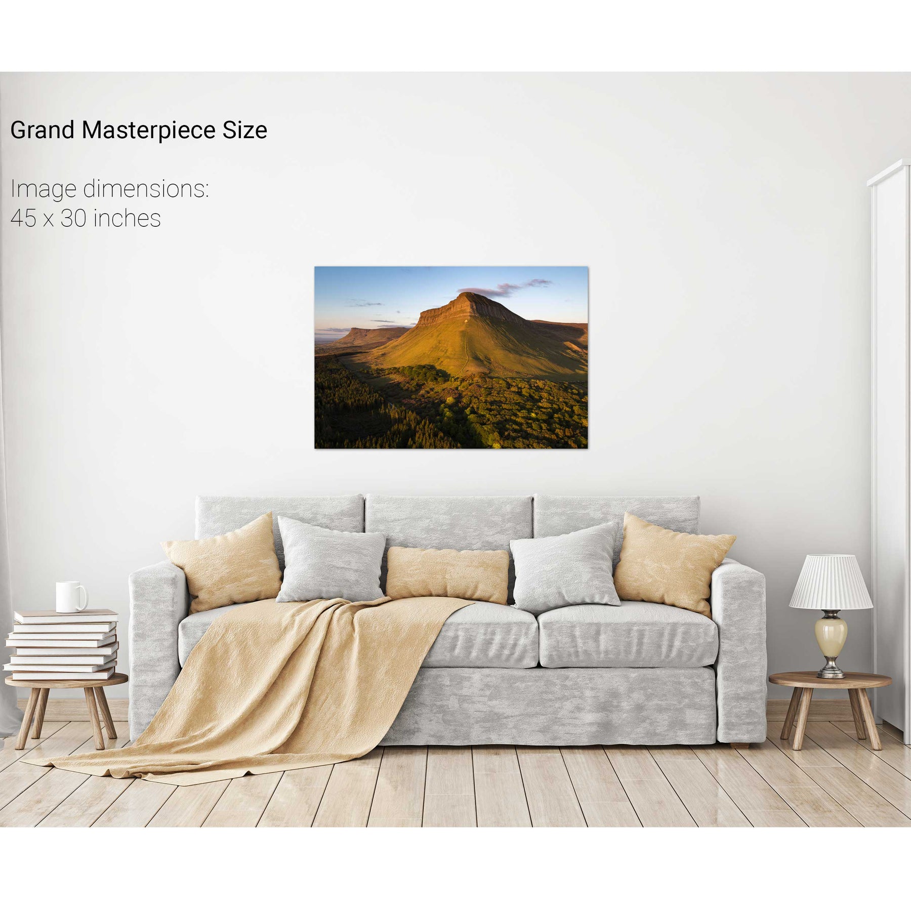
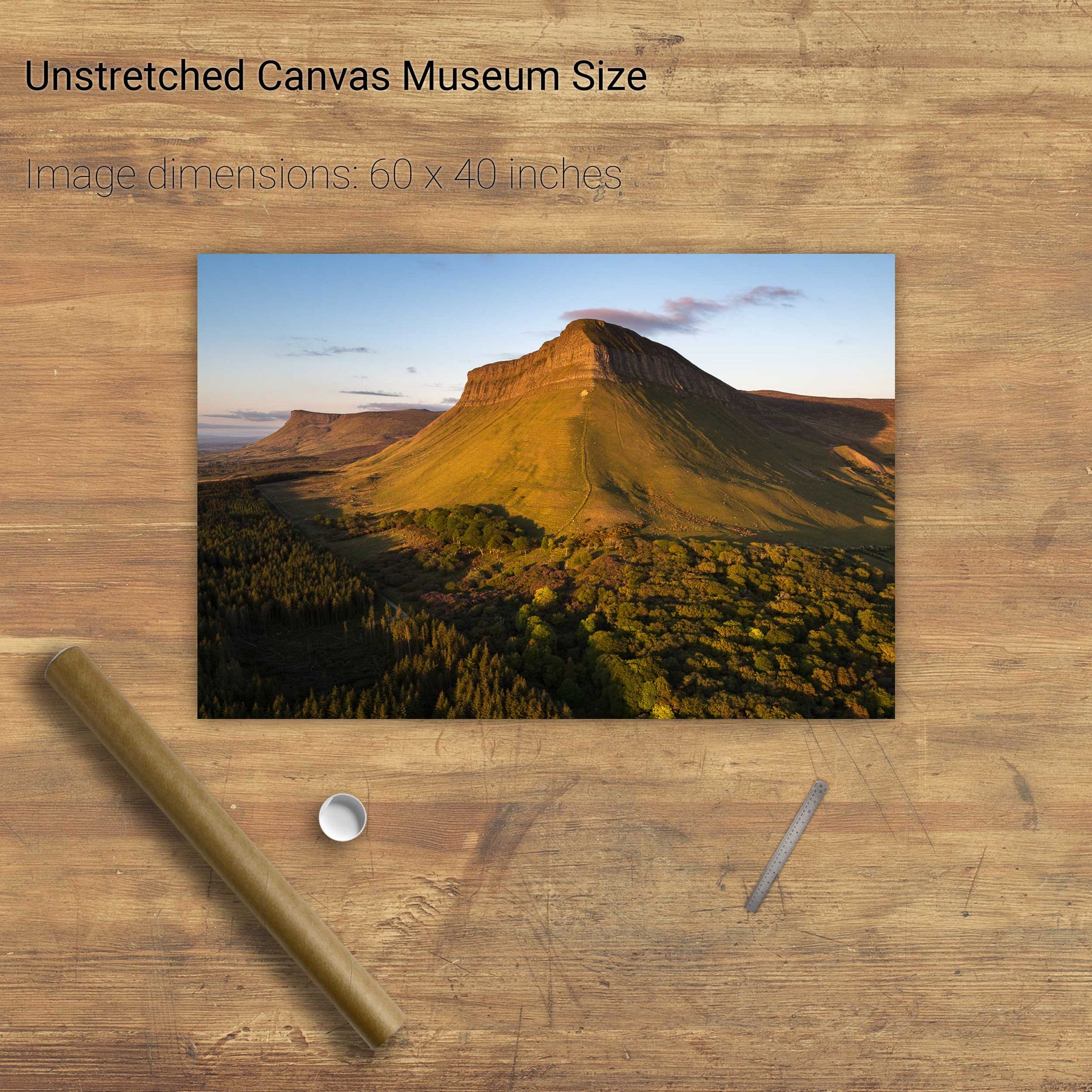
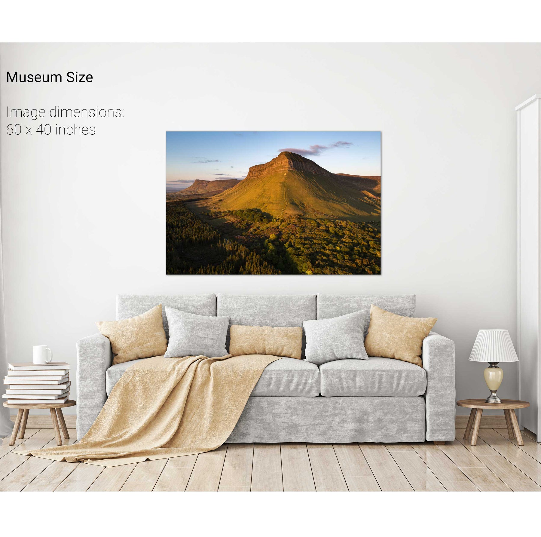
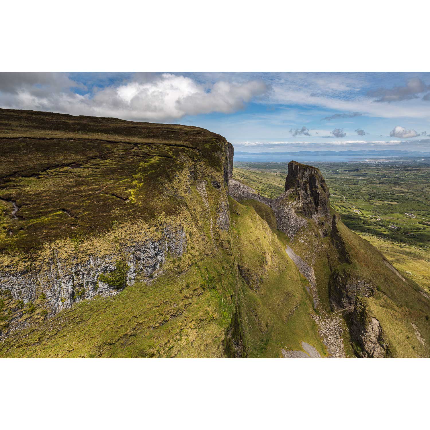
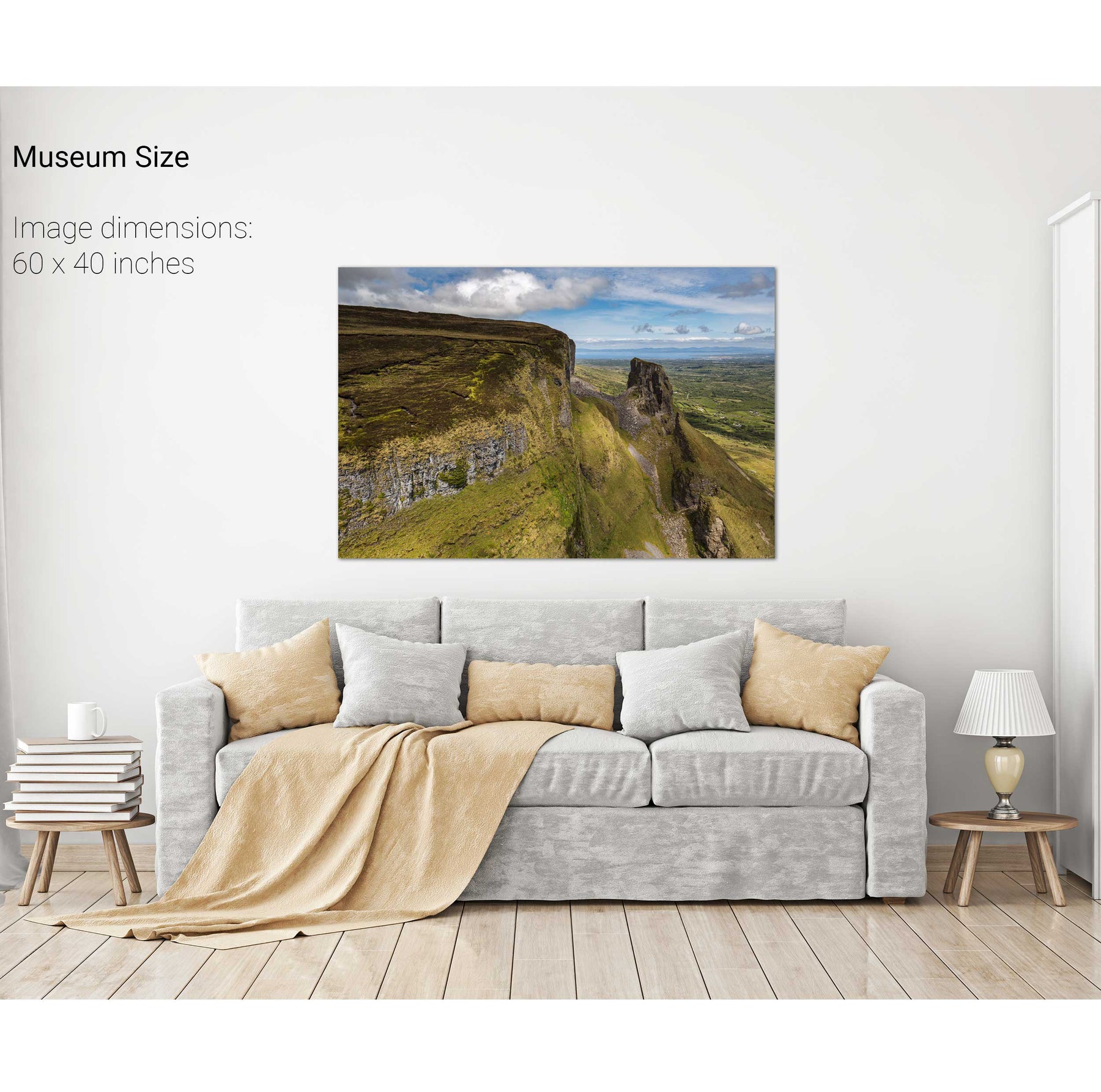
Benbulben, Co. Sligo
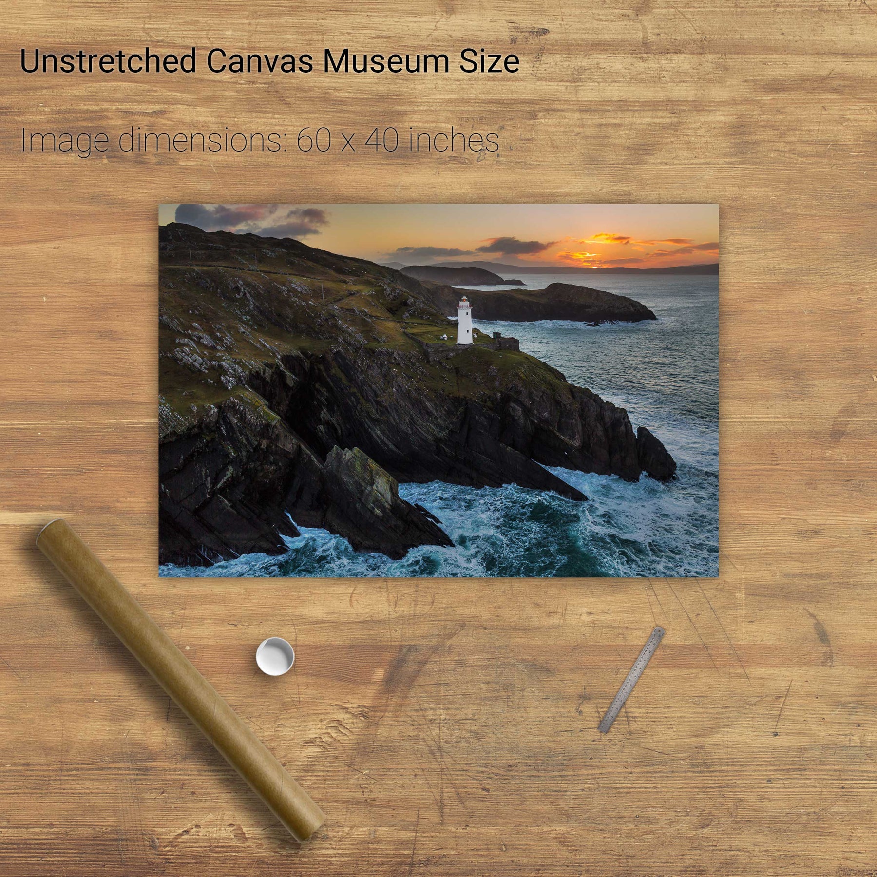
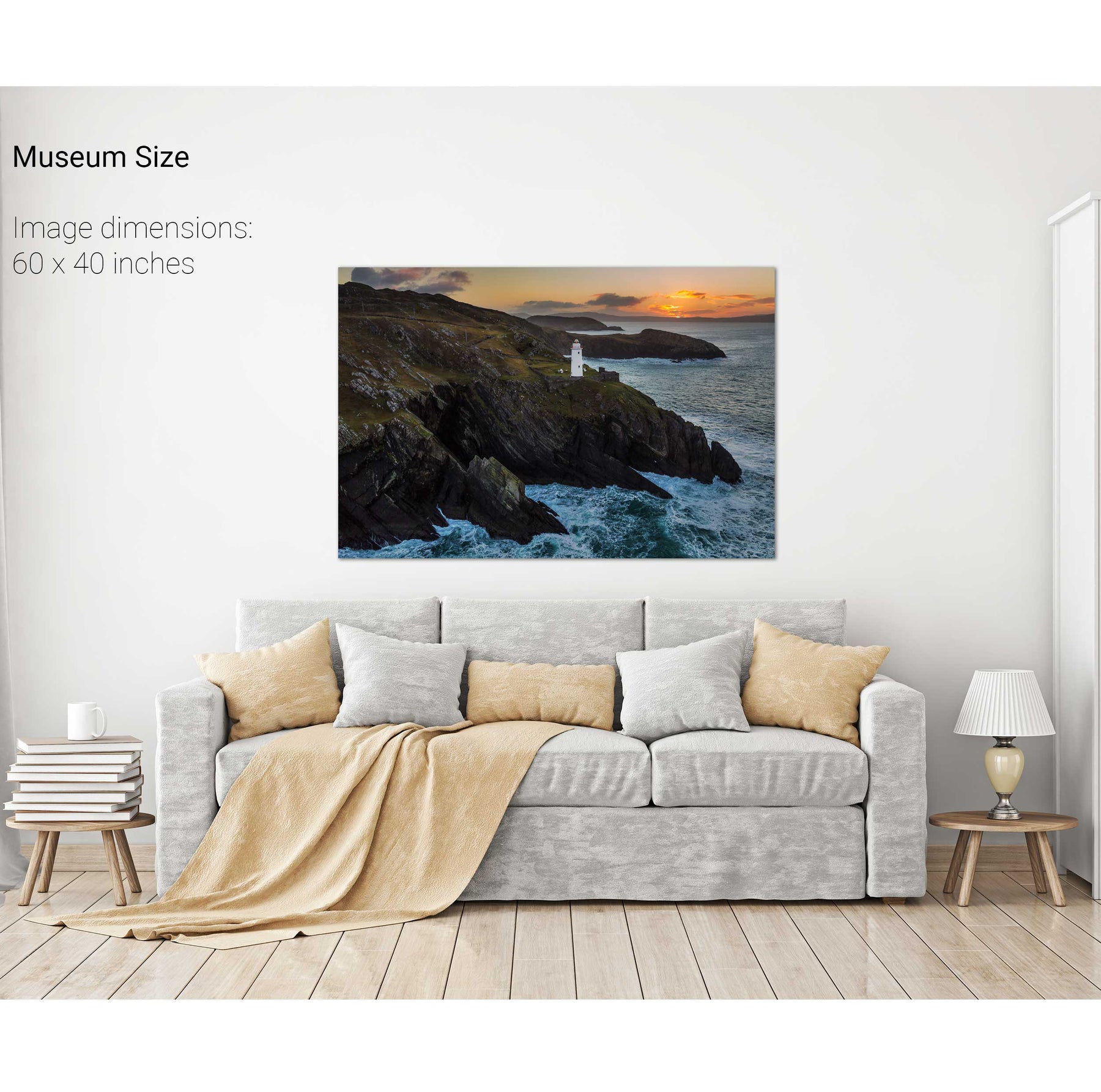
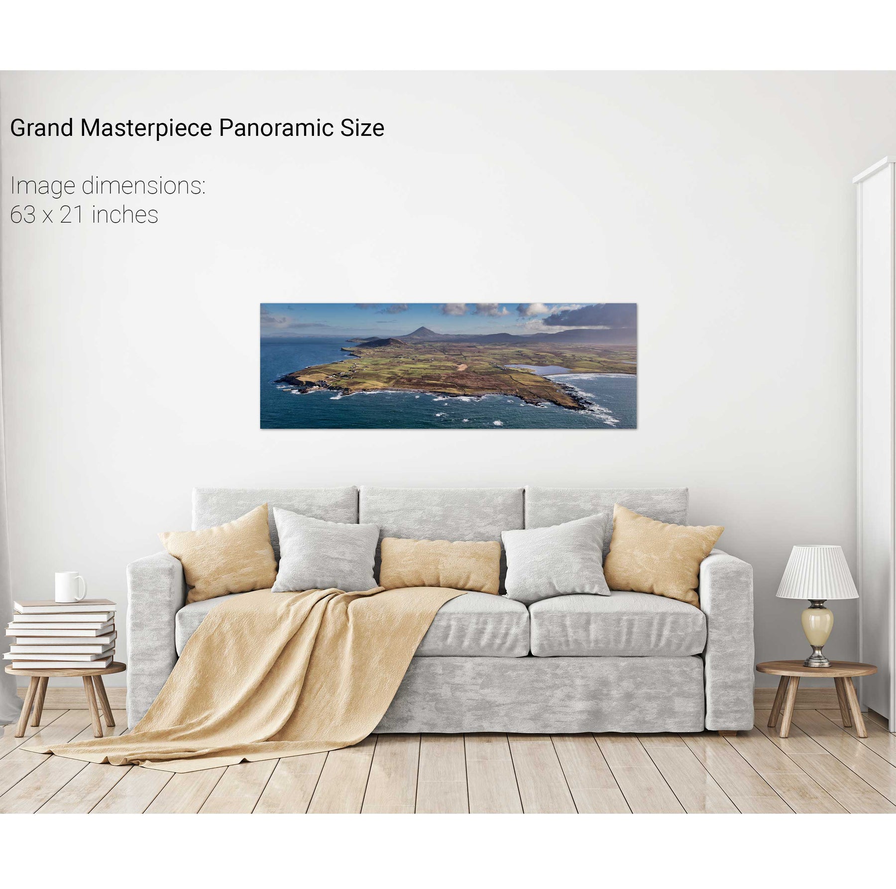
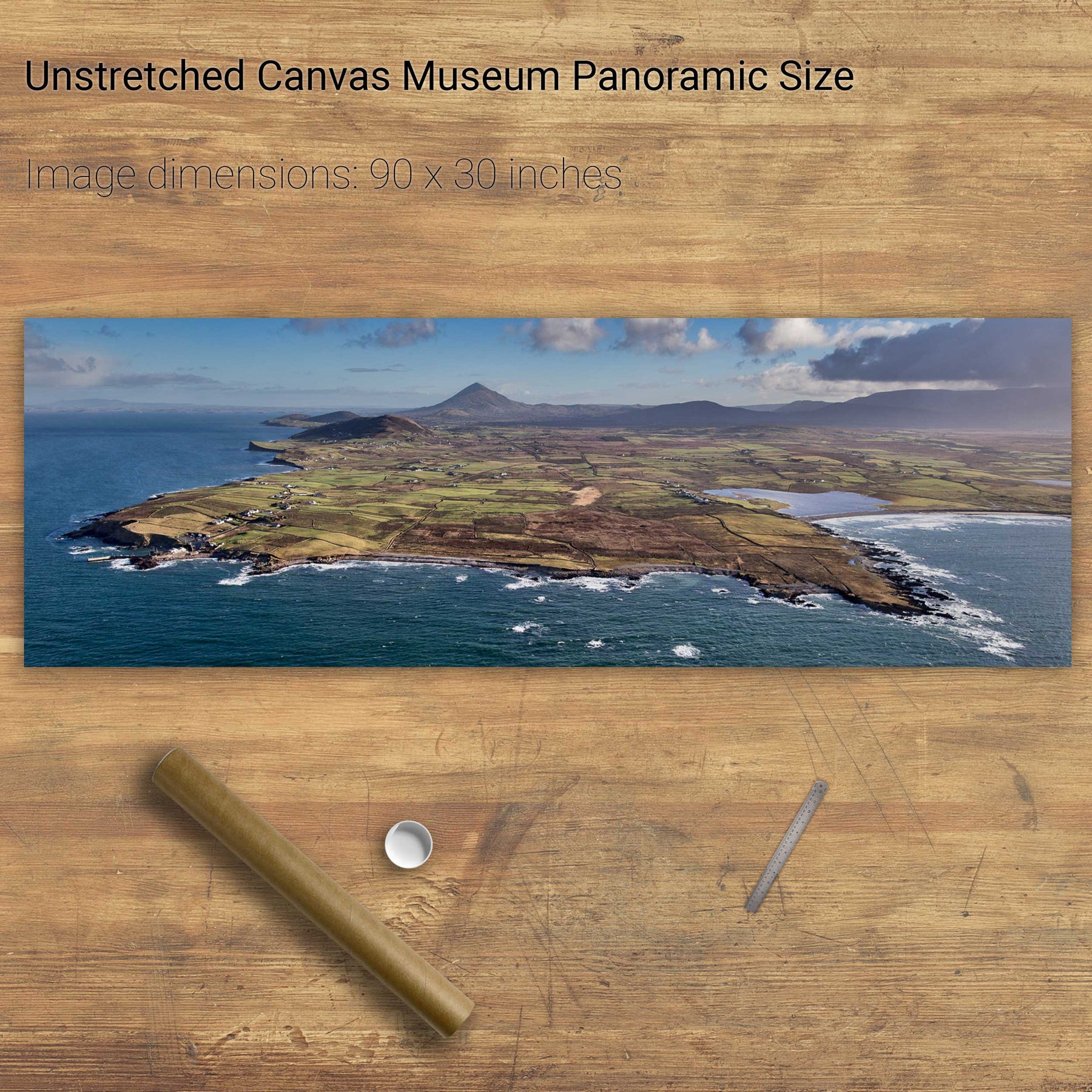
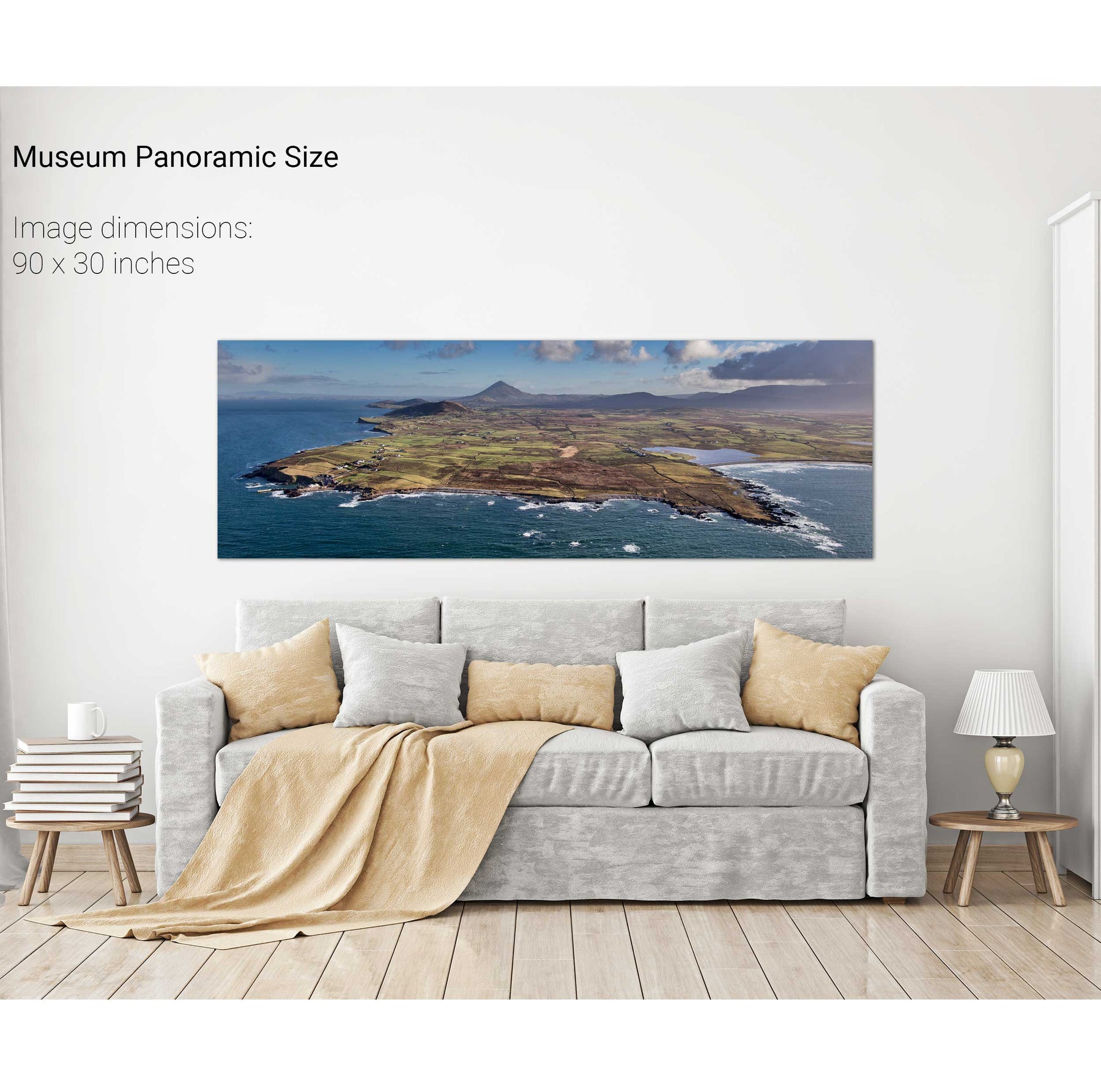
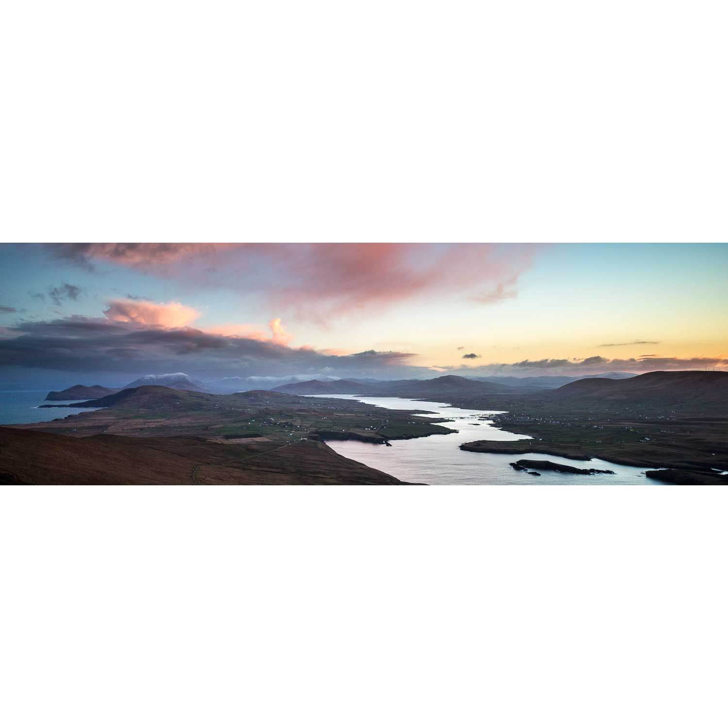
Valentia Island, Co. Kerry
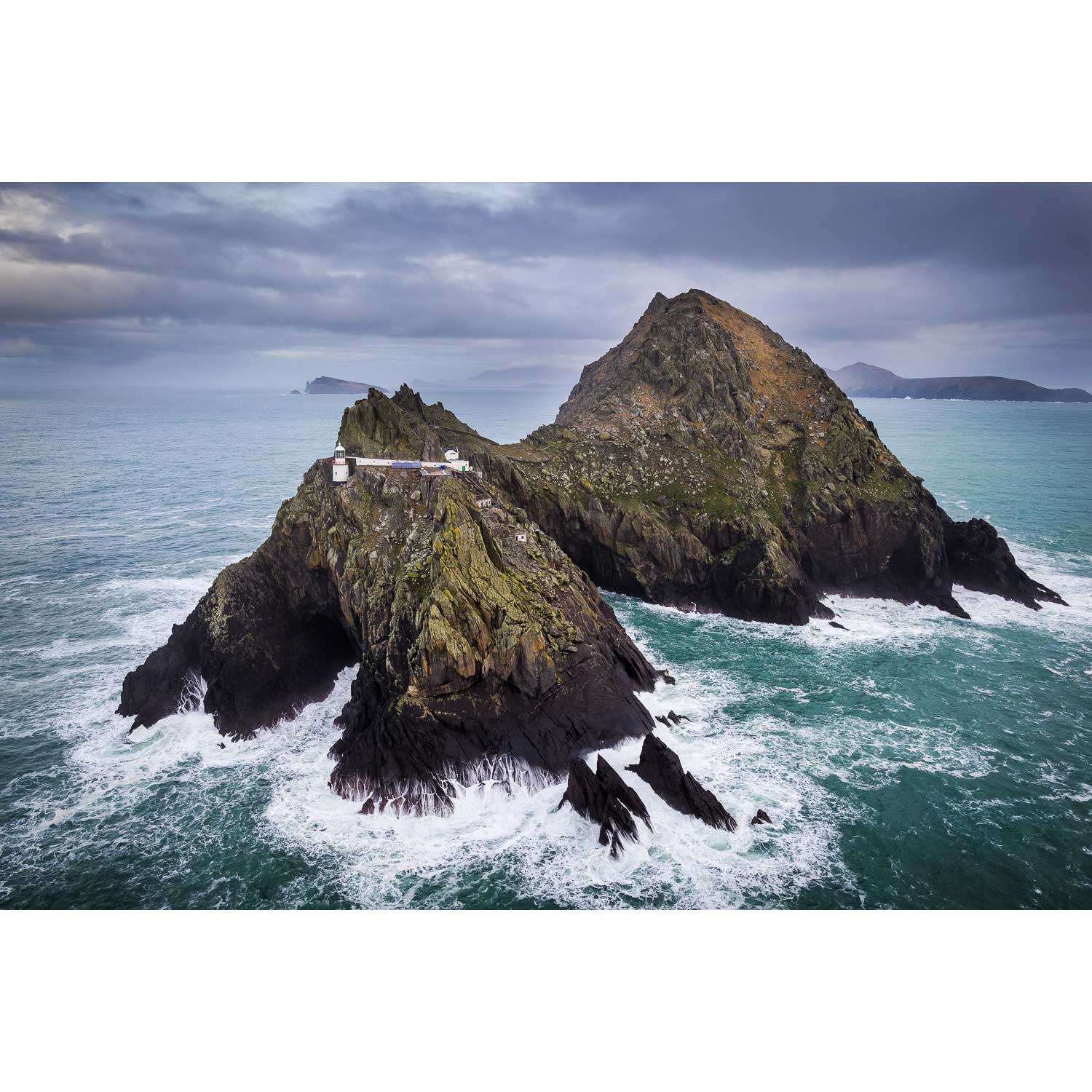
Inis Tiaracht, Blasket Islands, Co. Kerry
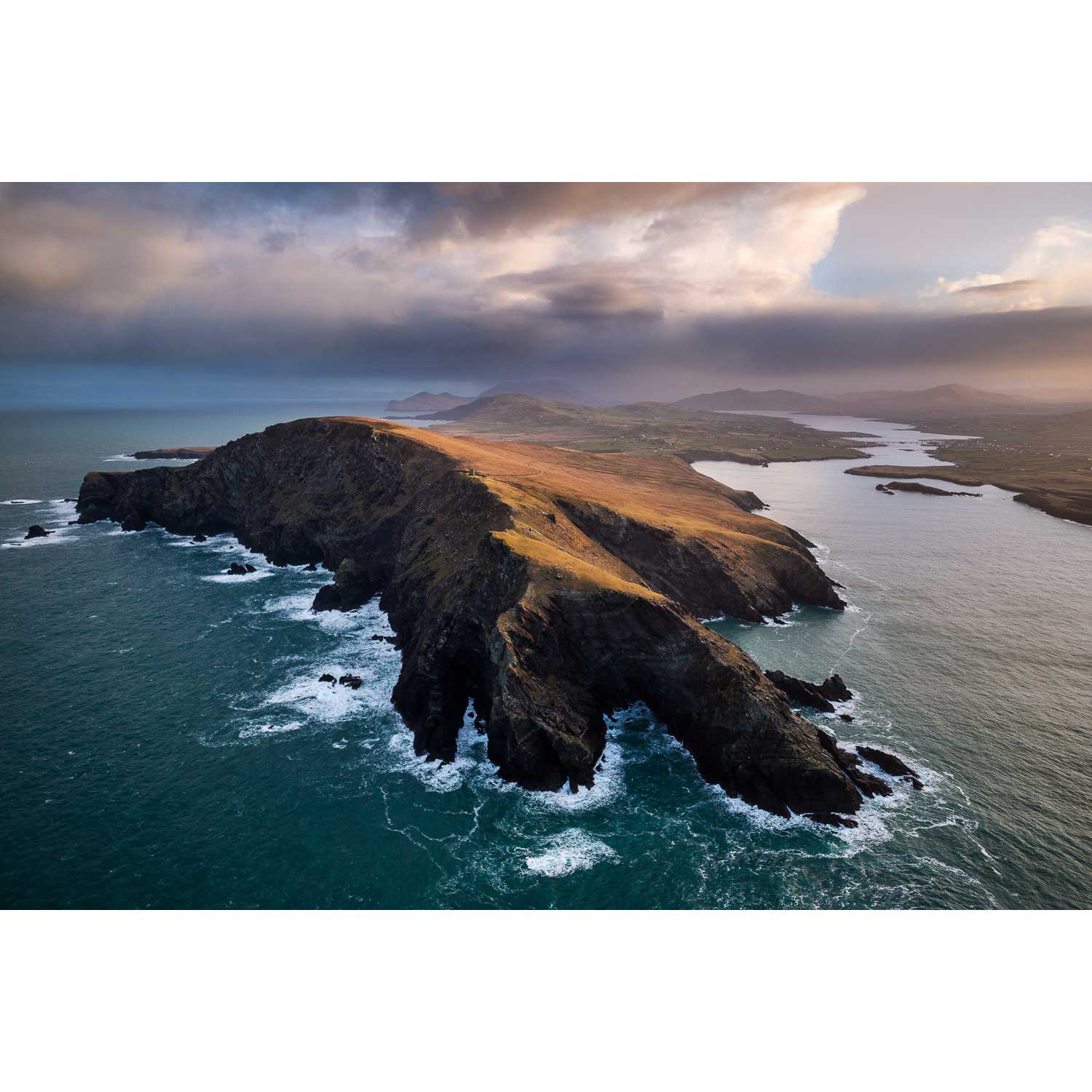
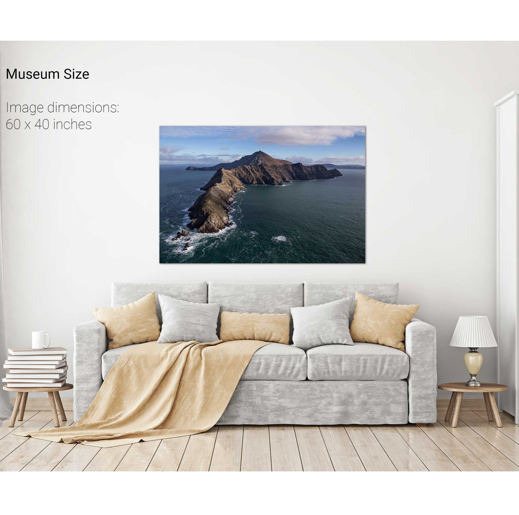
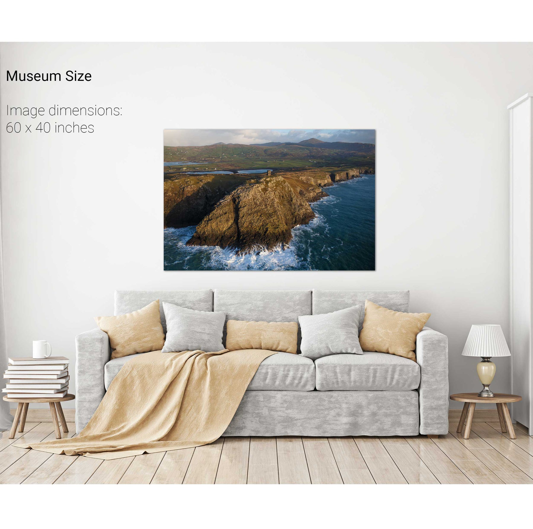
Bray Head, Valentia, Kerry
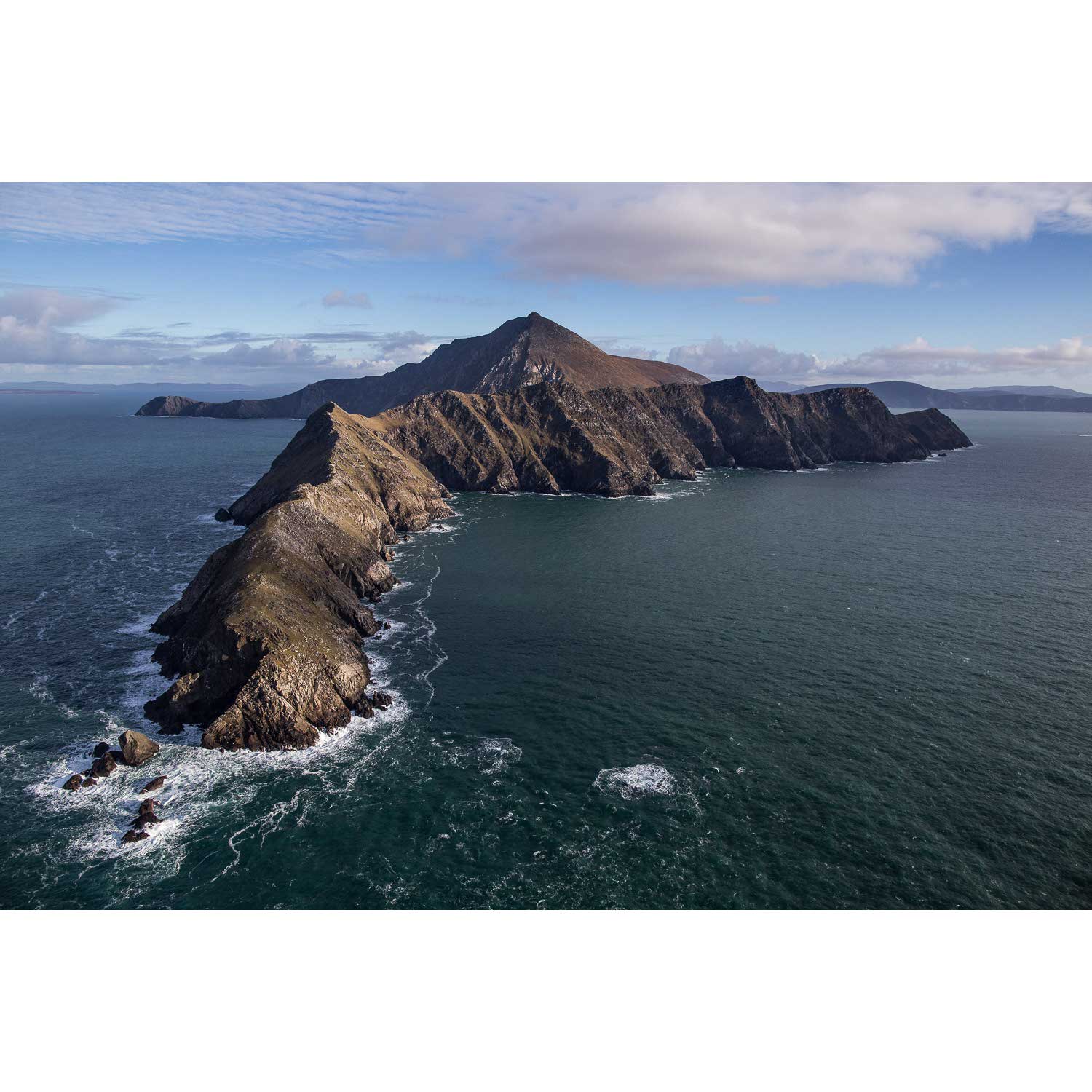
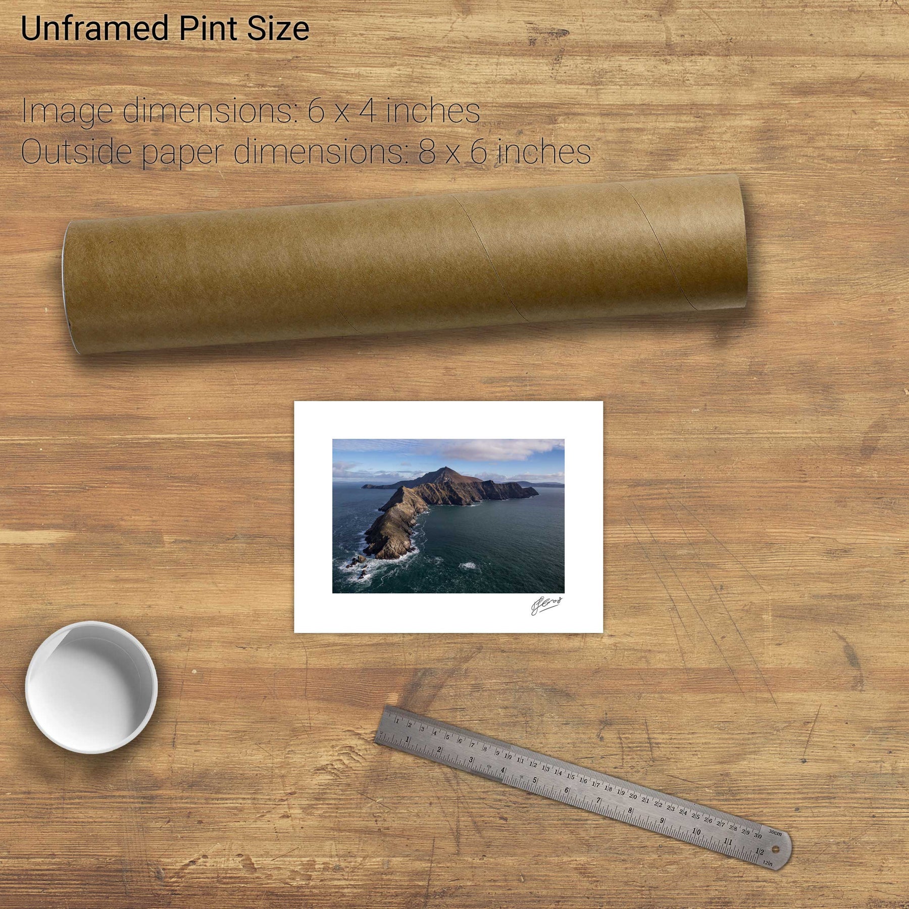
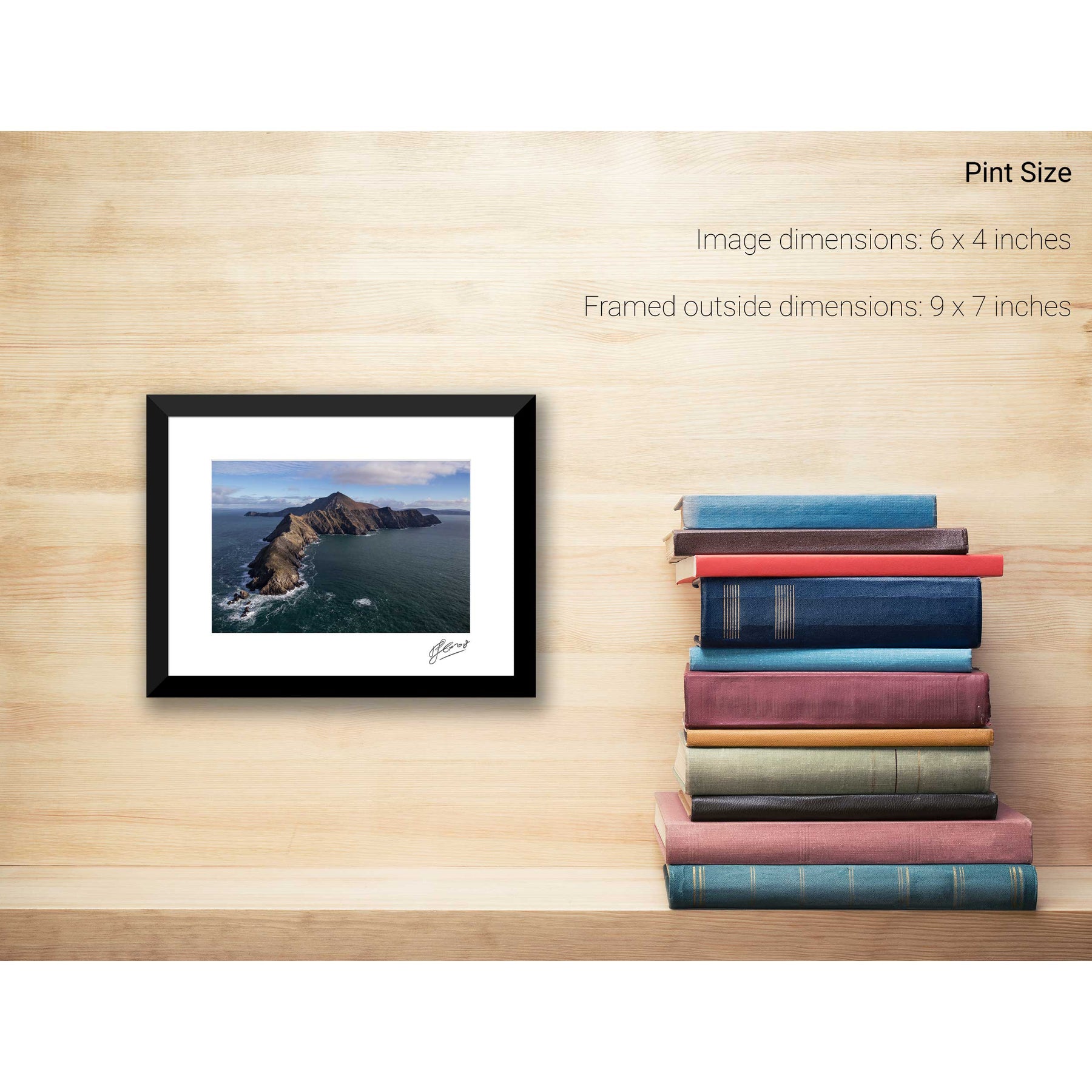
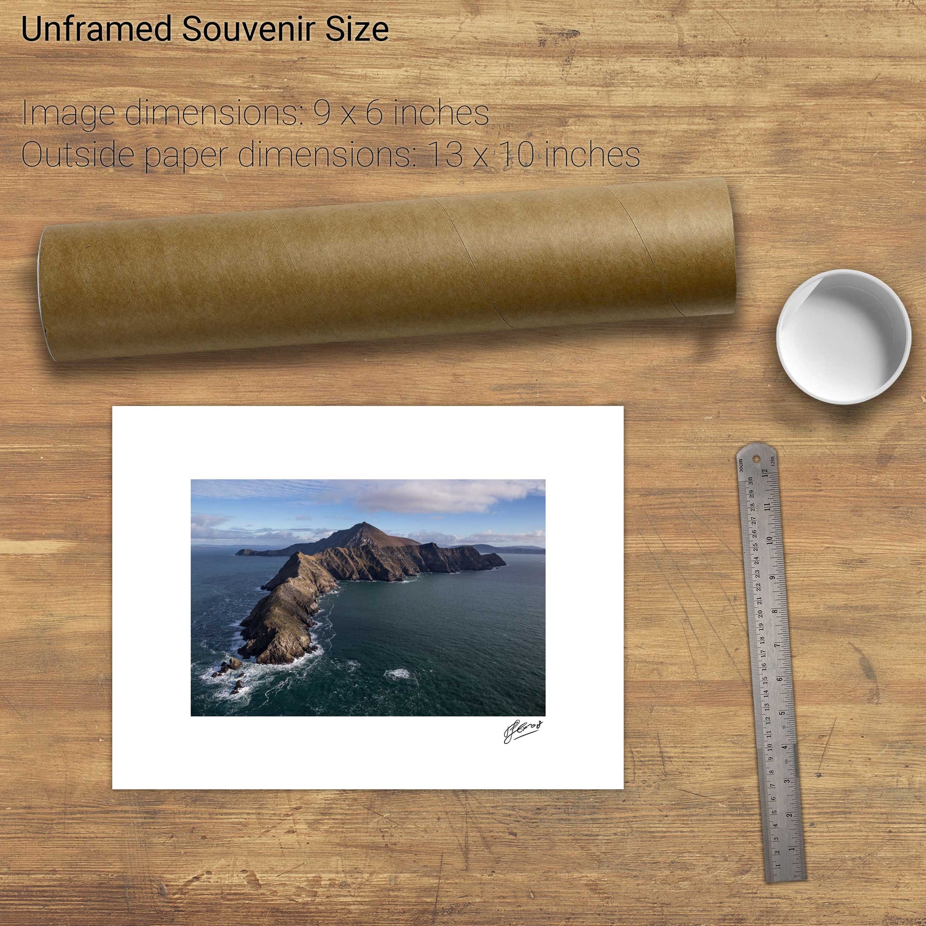
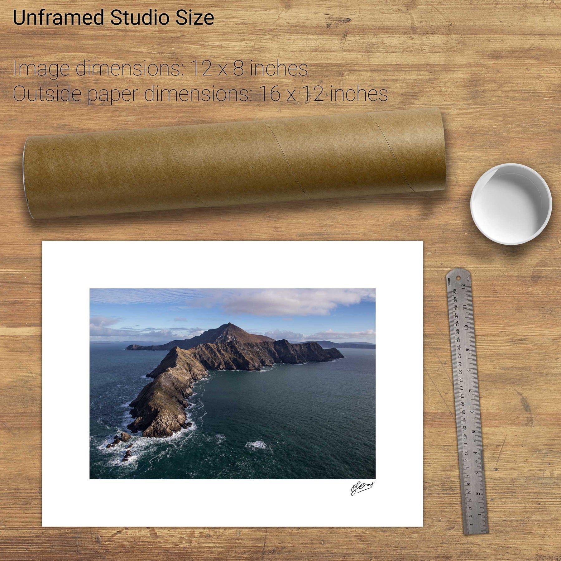
Achill Head, Co. Mayo
Black Ball Head, Beara, Co. Cork
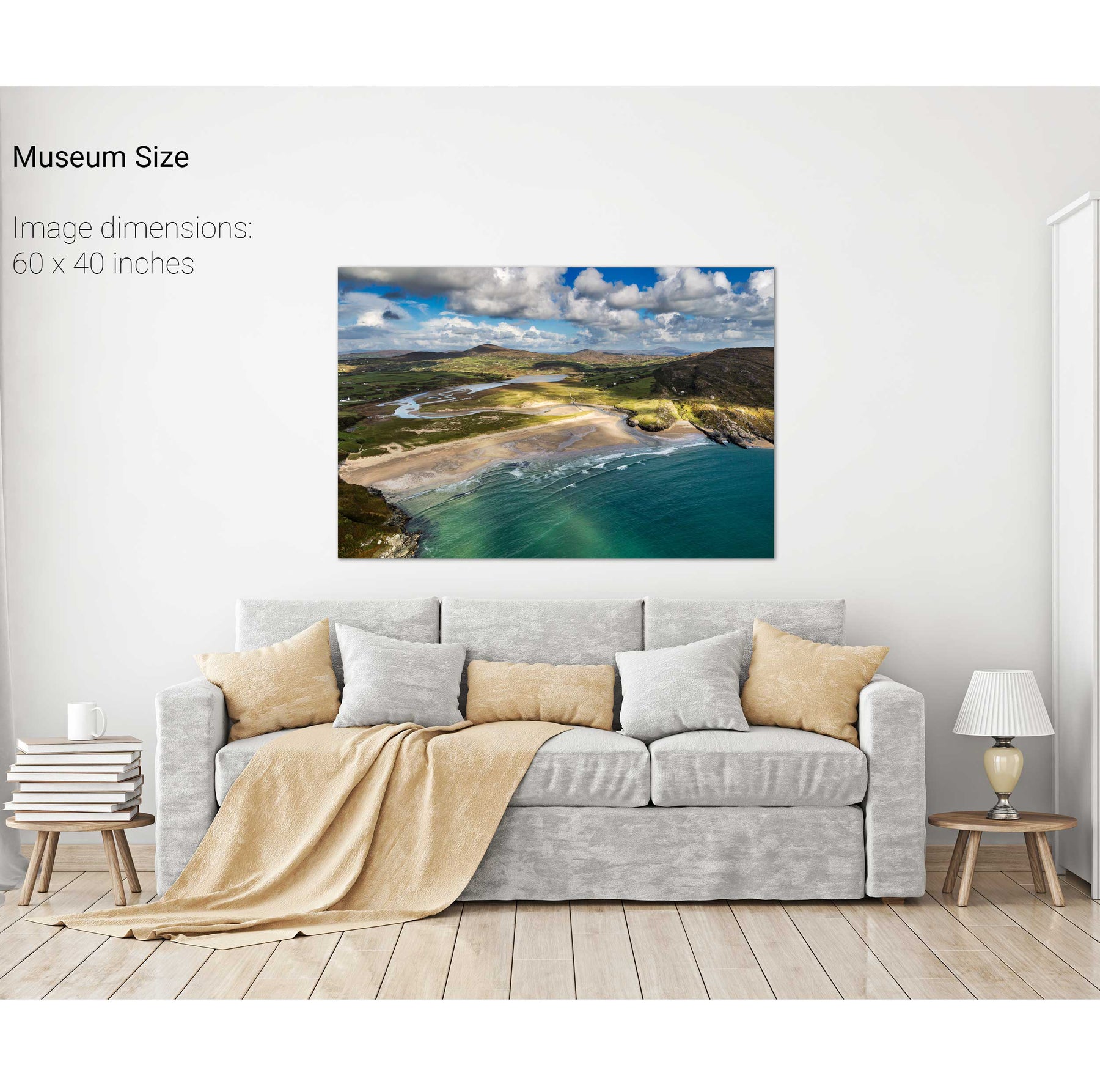
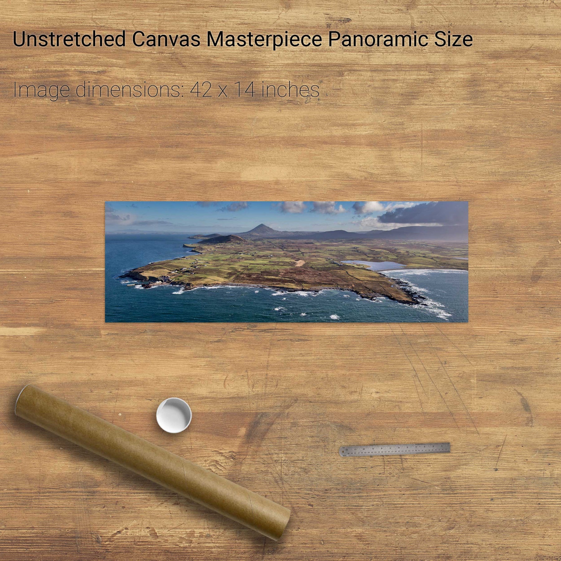
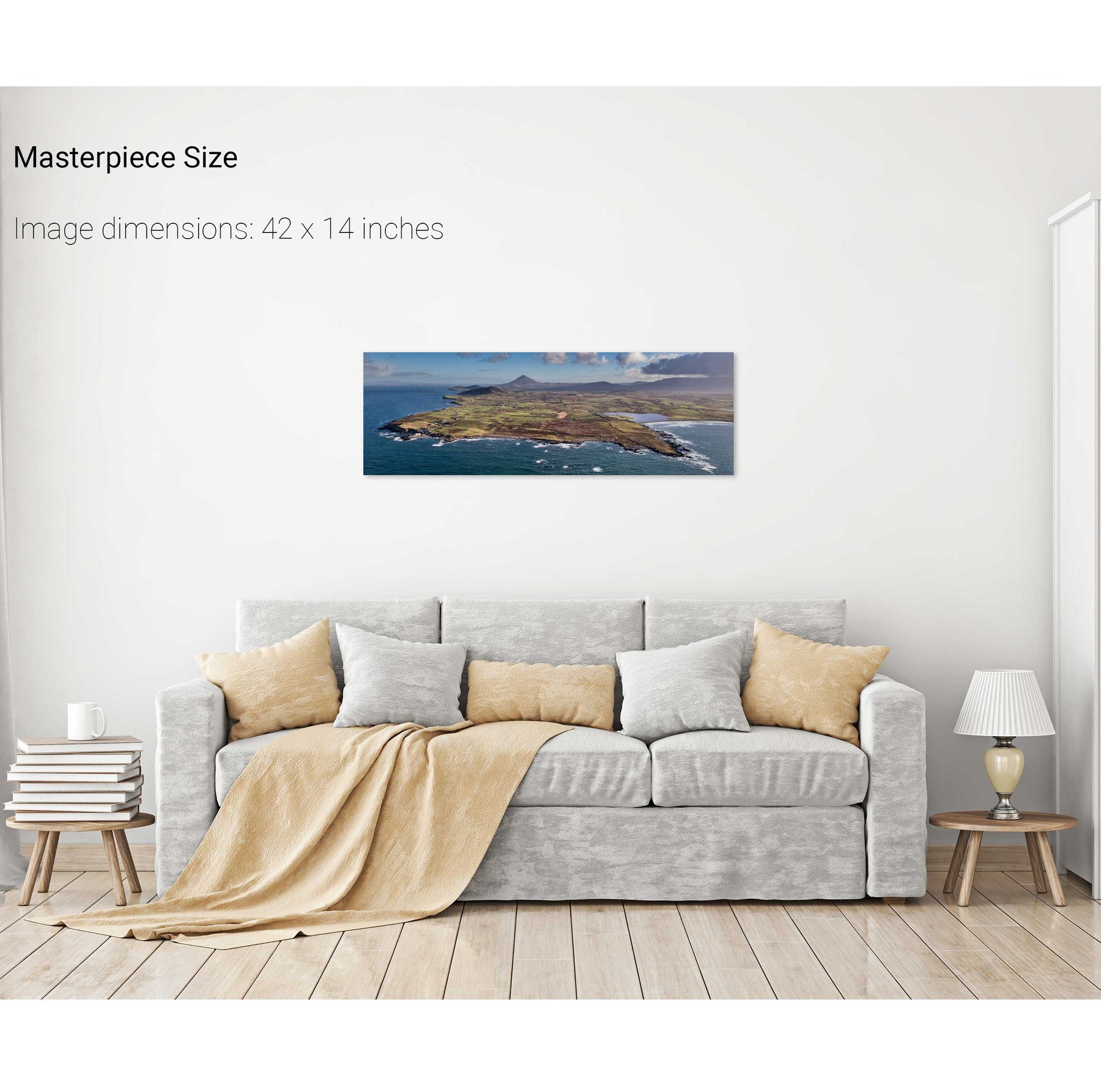
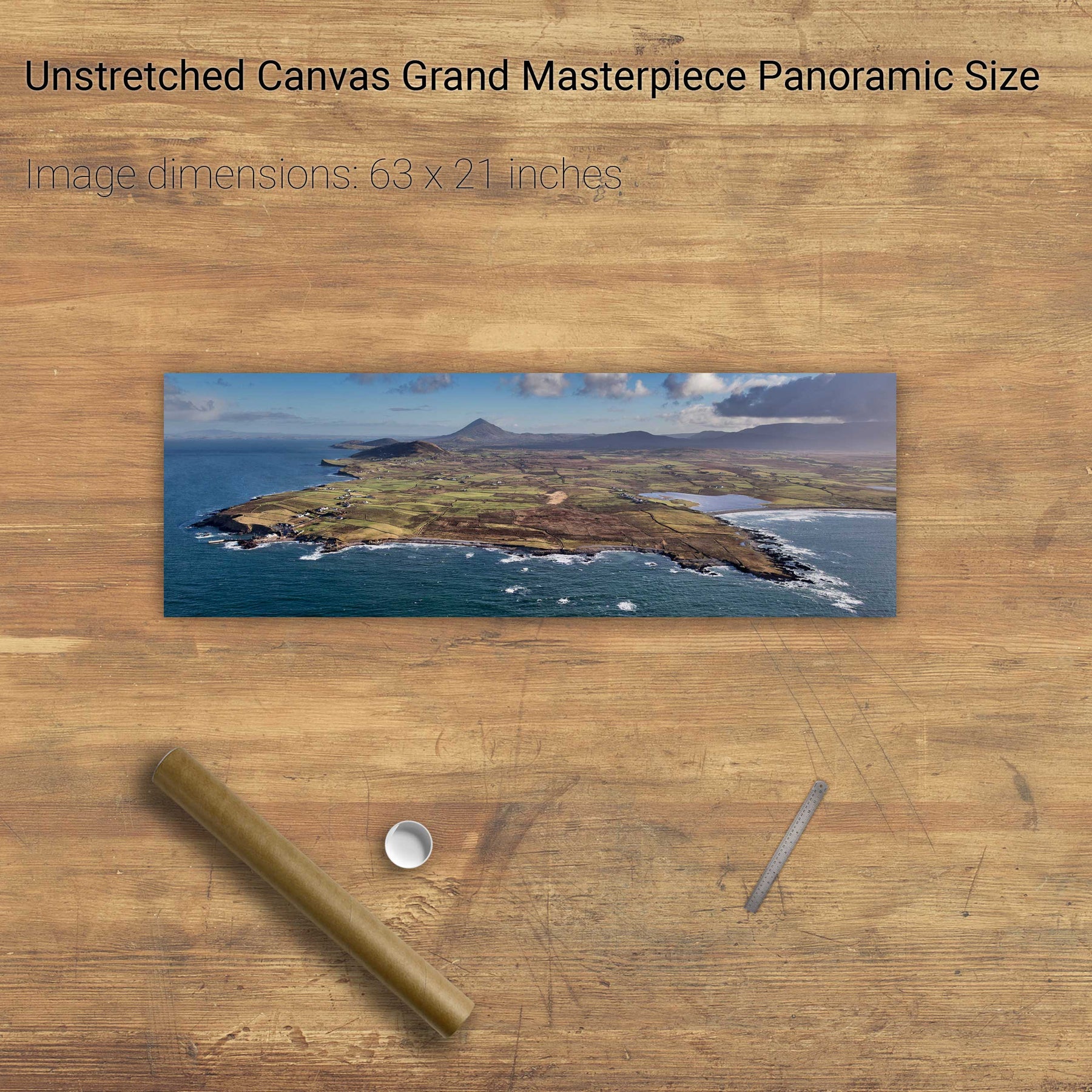
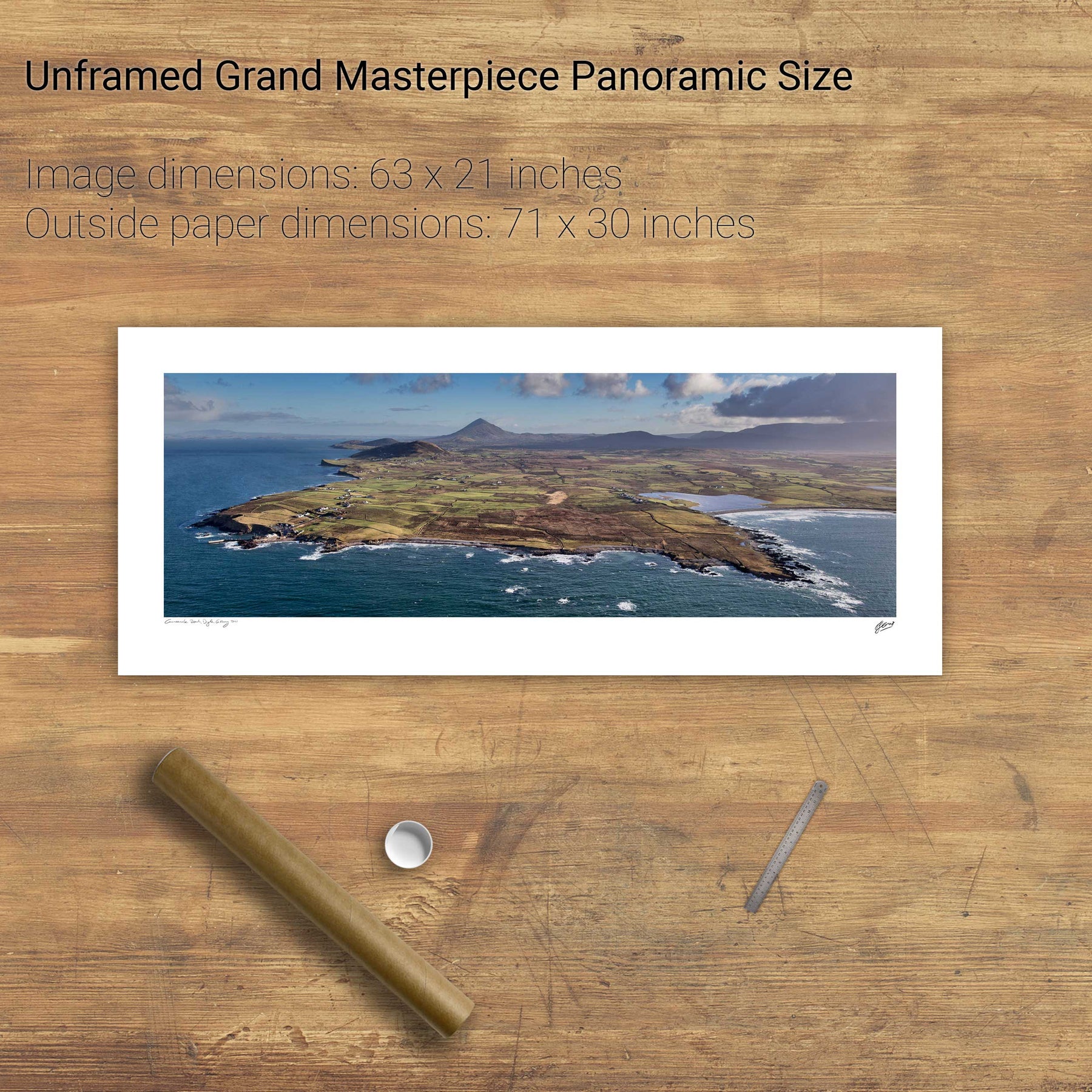
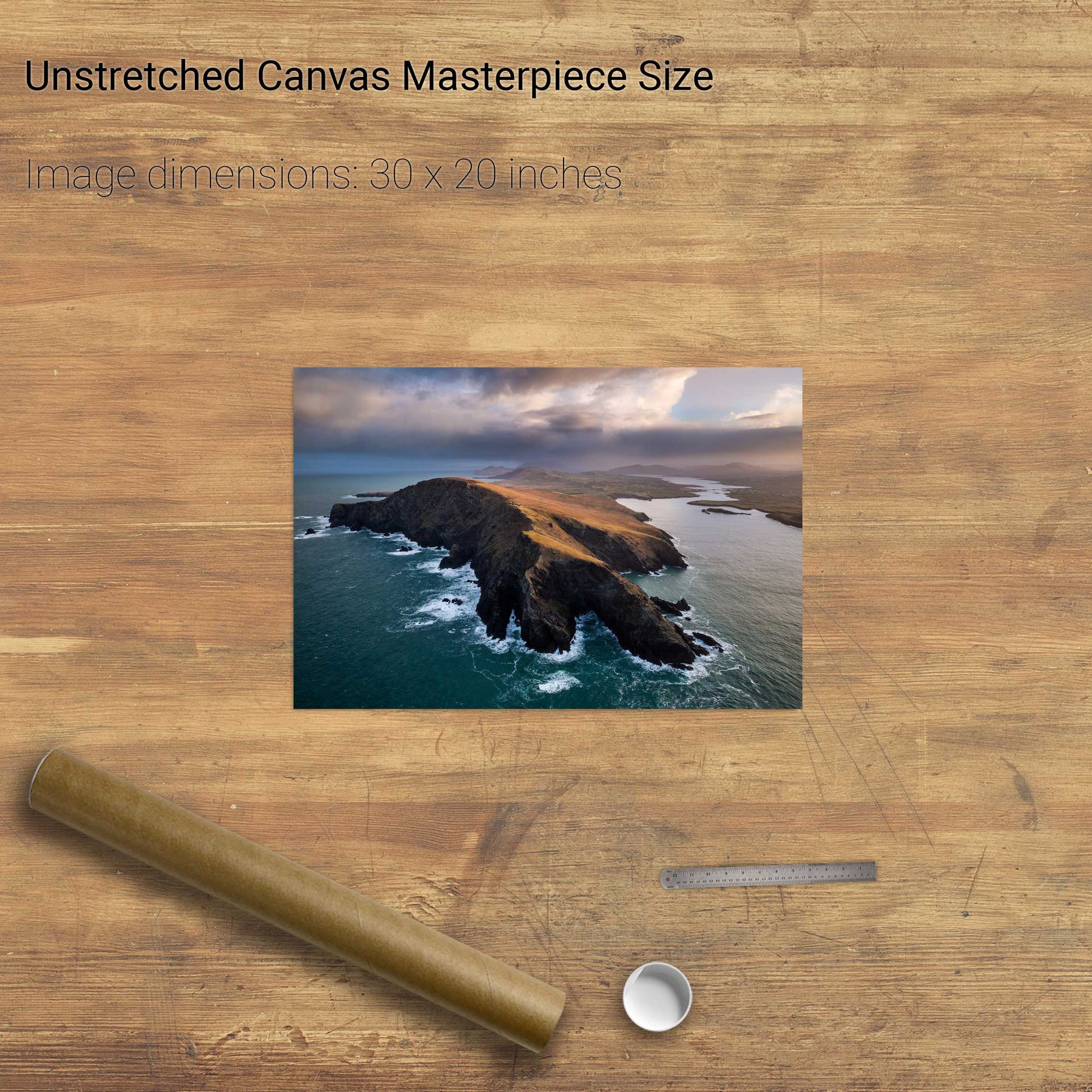
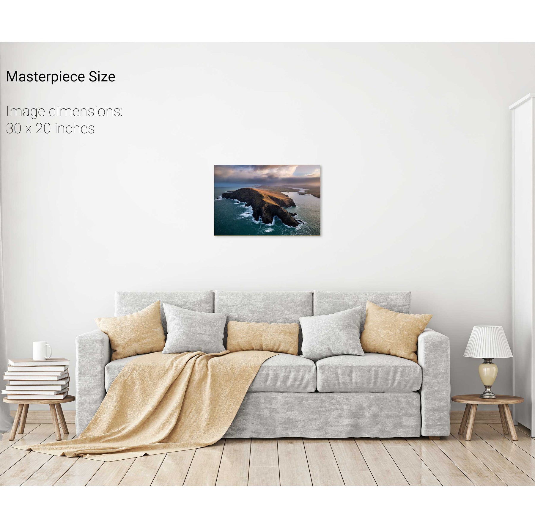
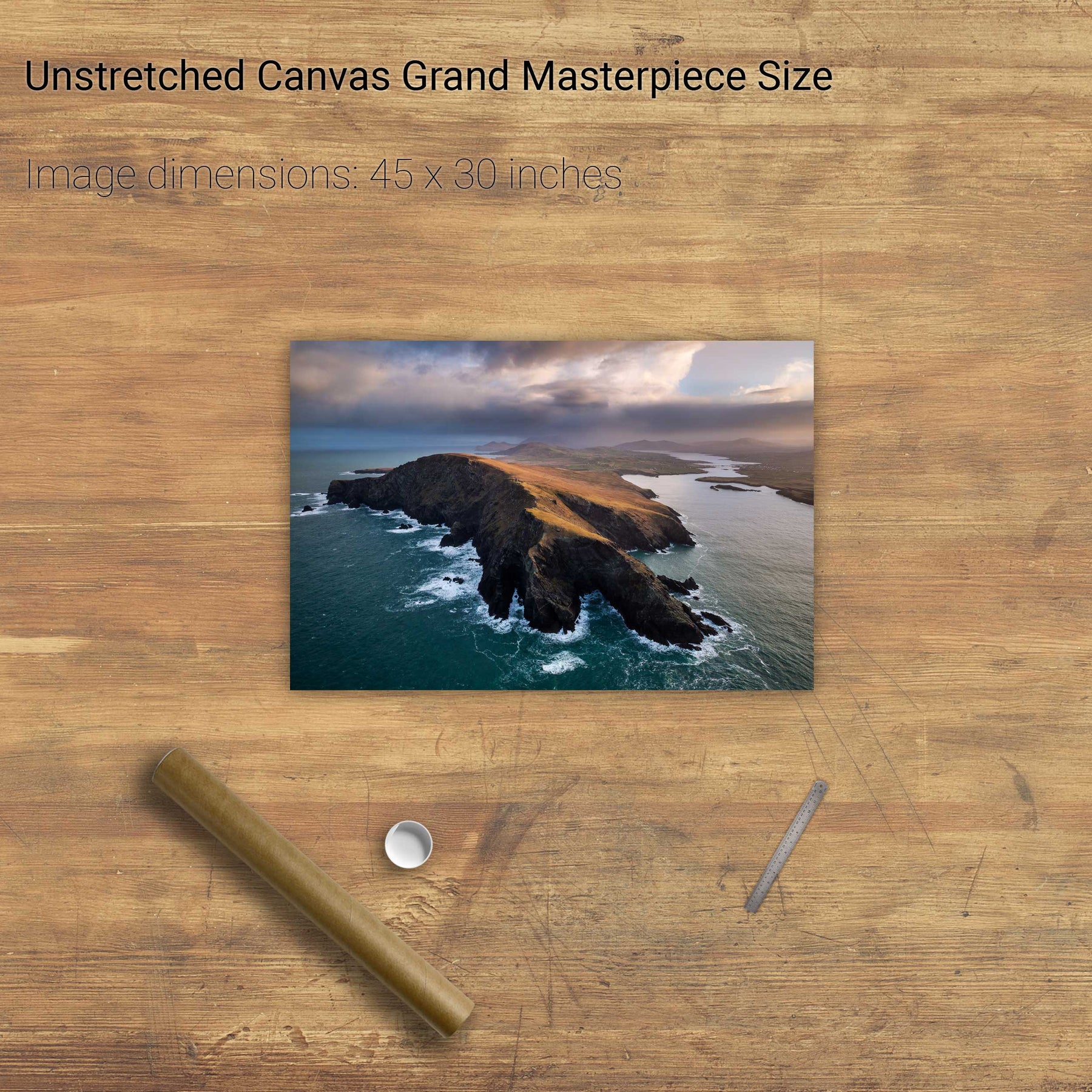
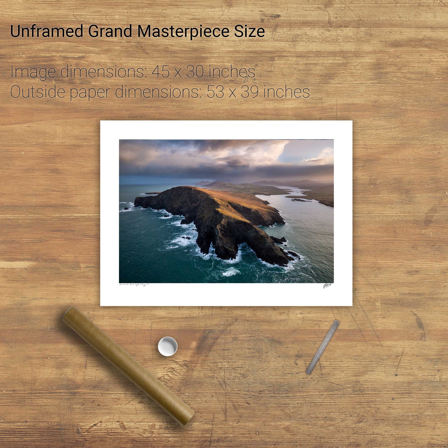
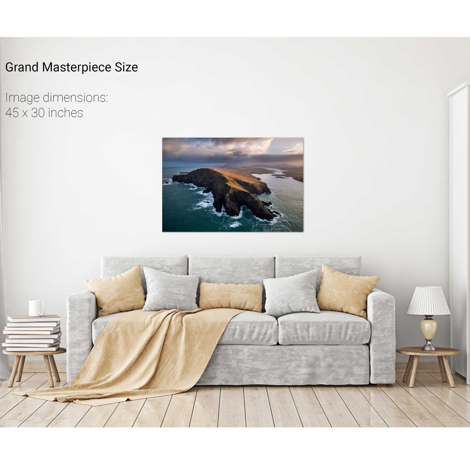
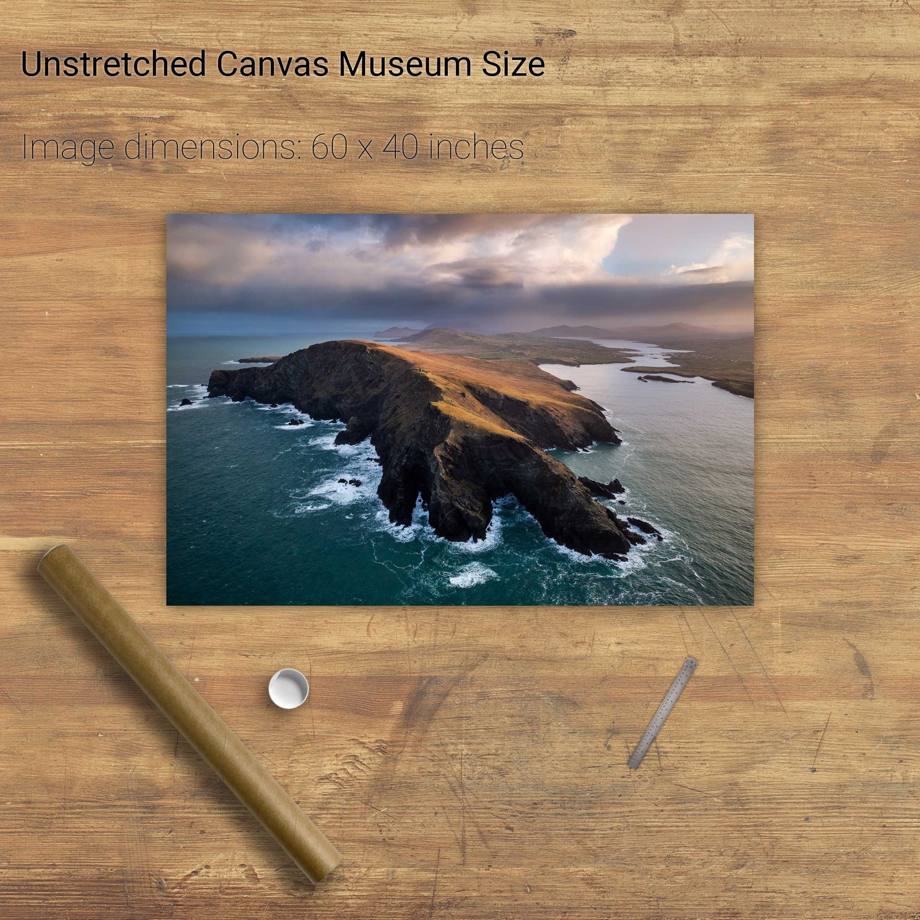
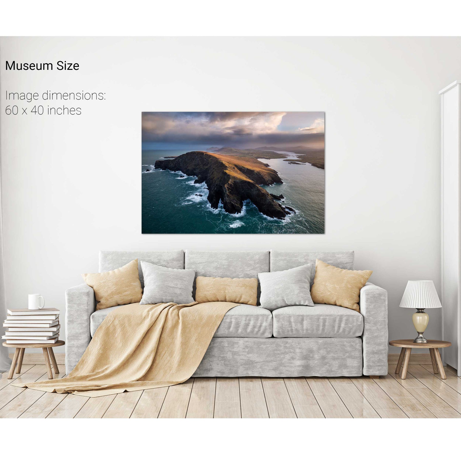
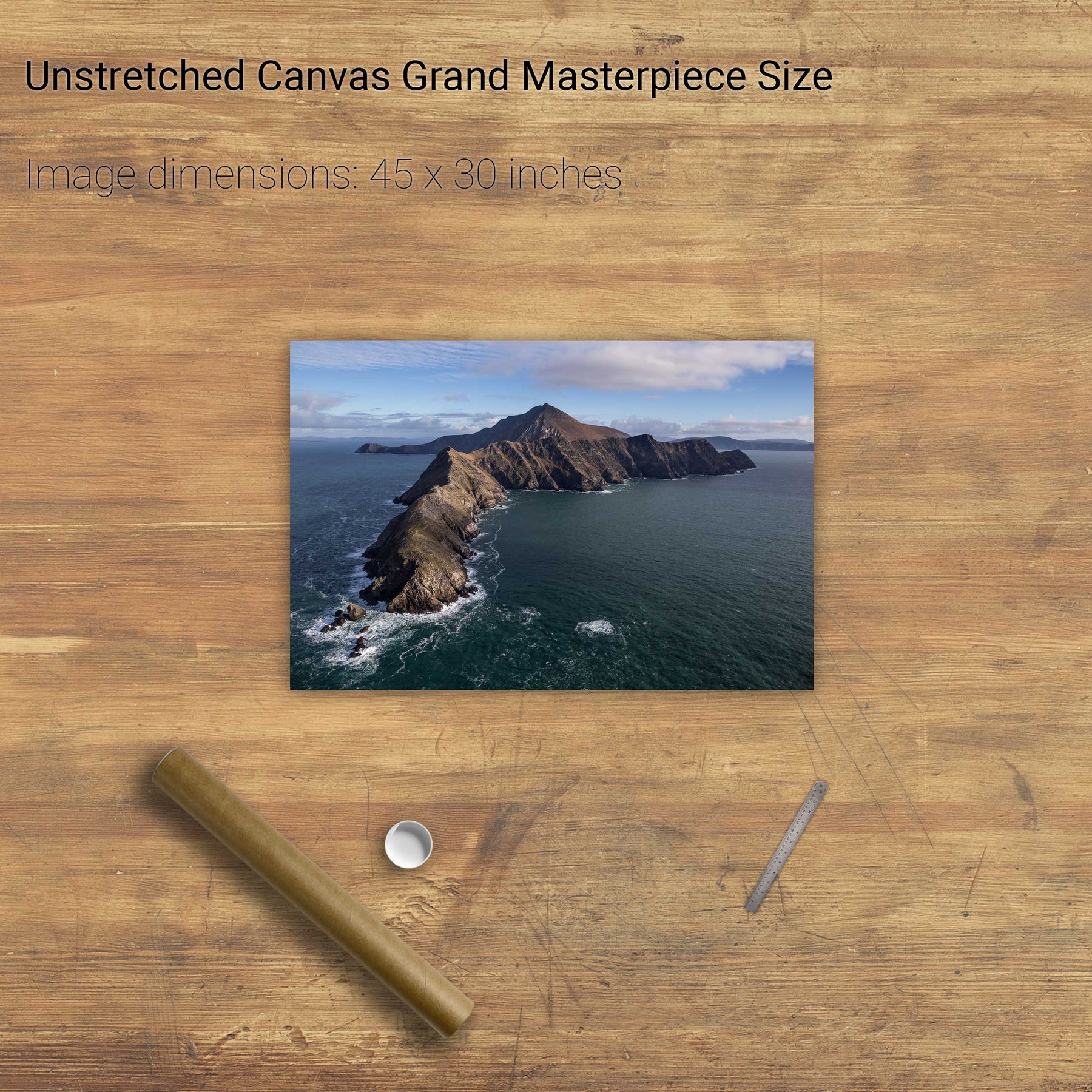
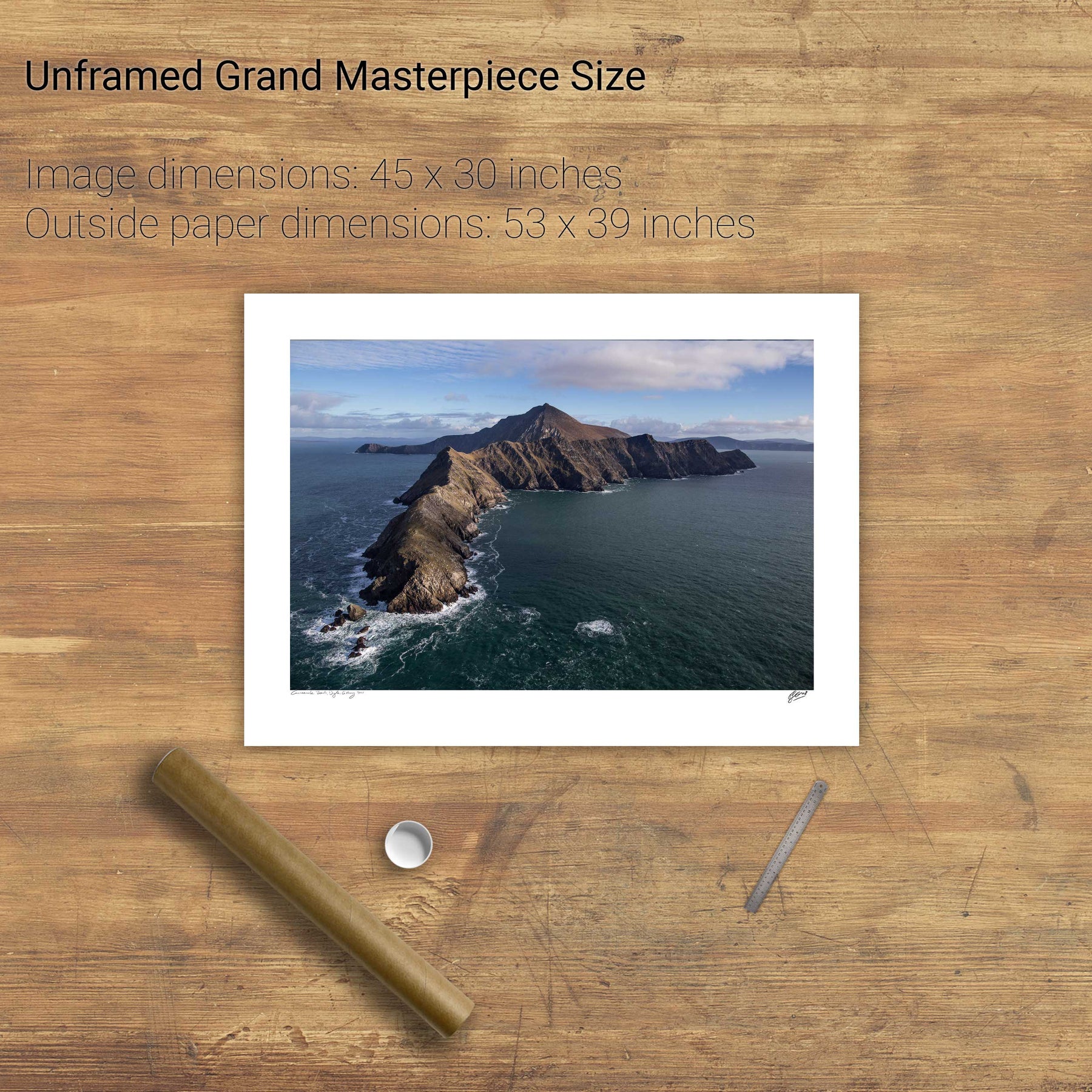
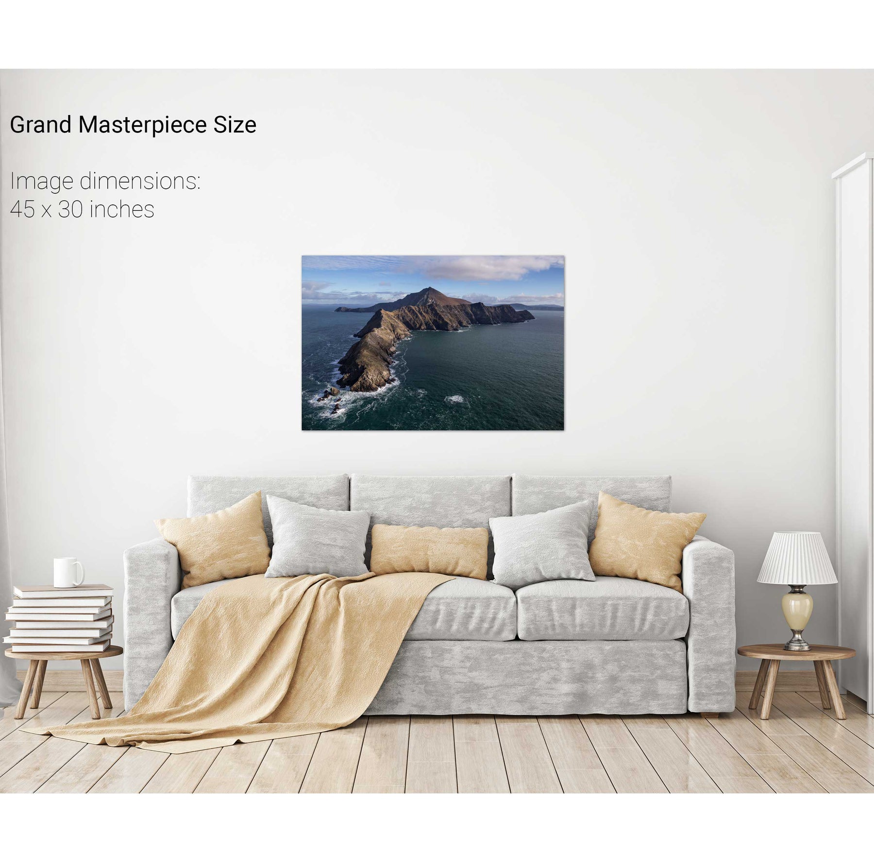
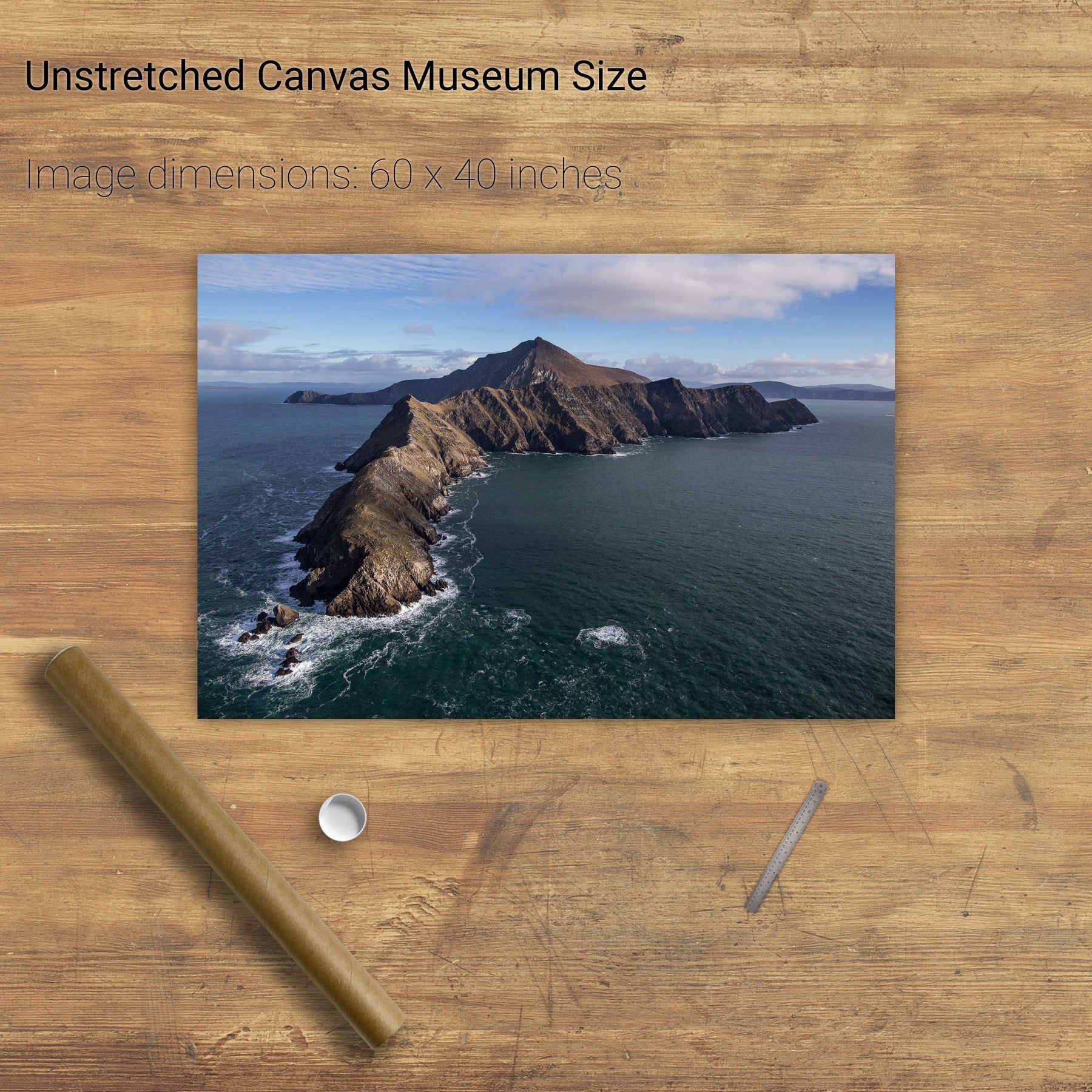
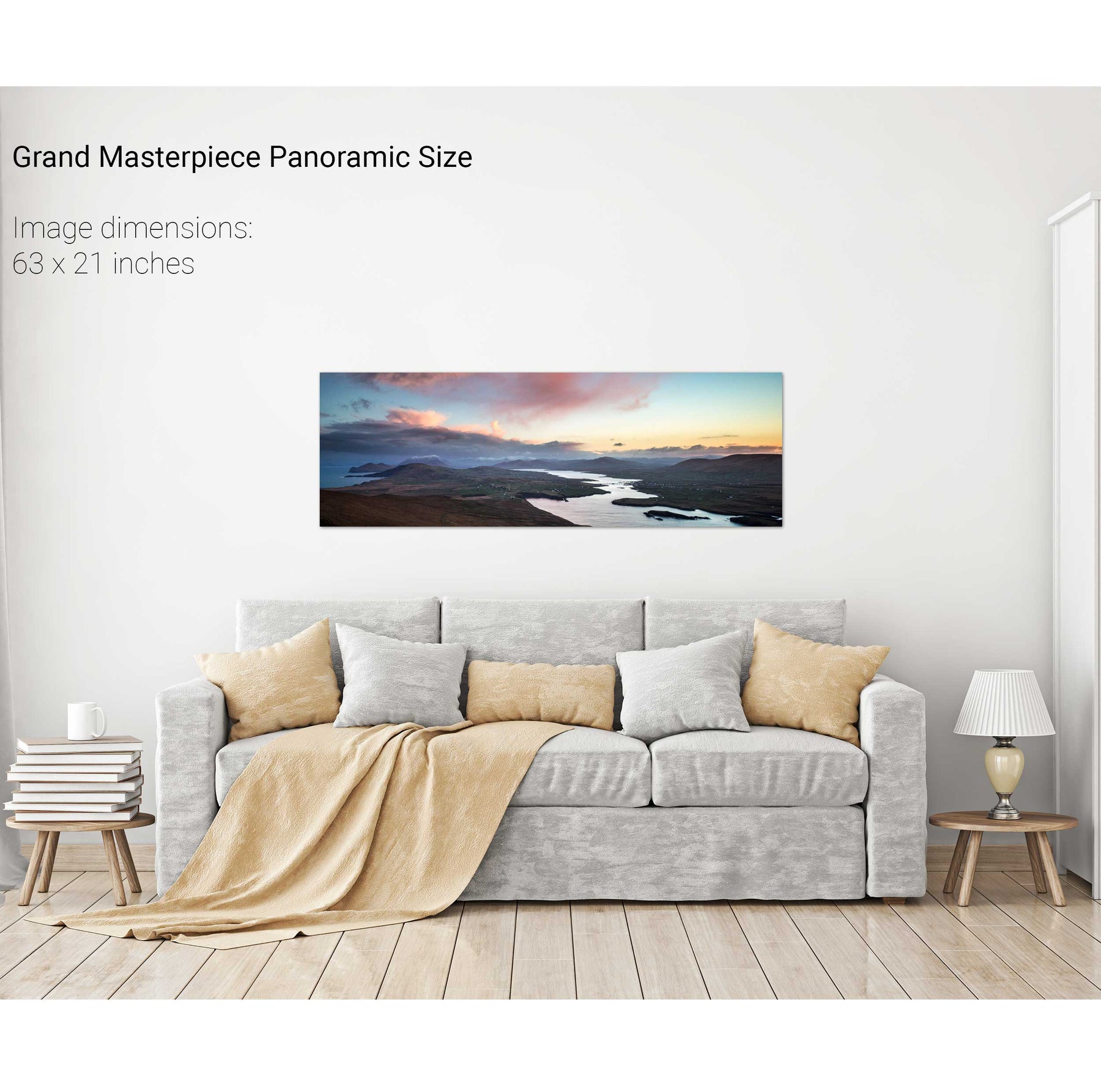
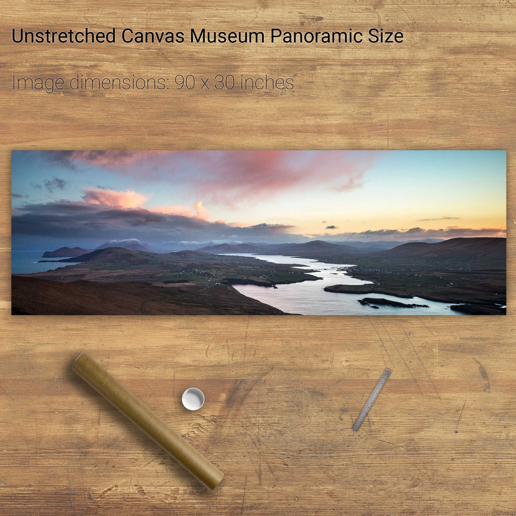
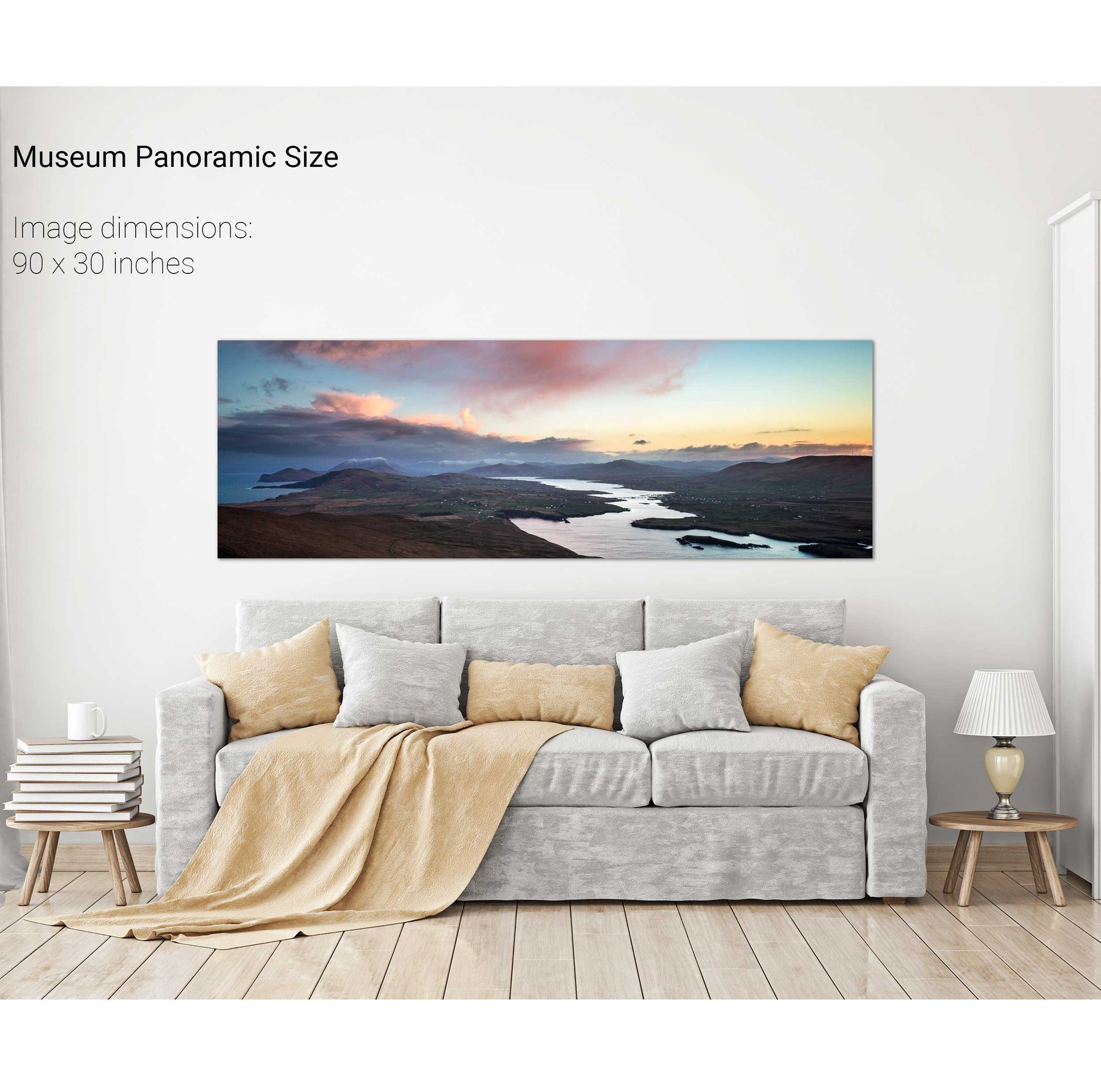
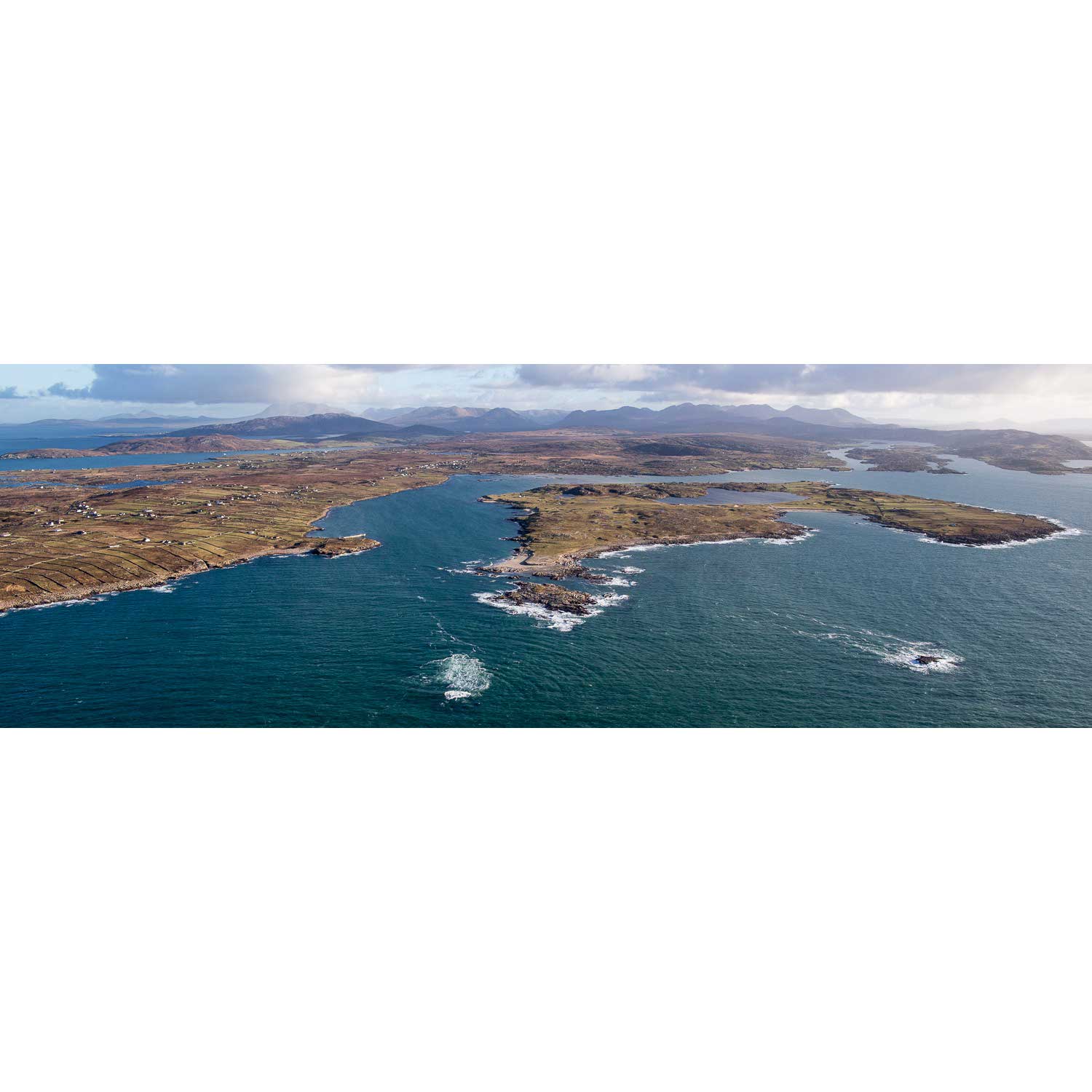
Valentia Sound, Co. Kerry
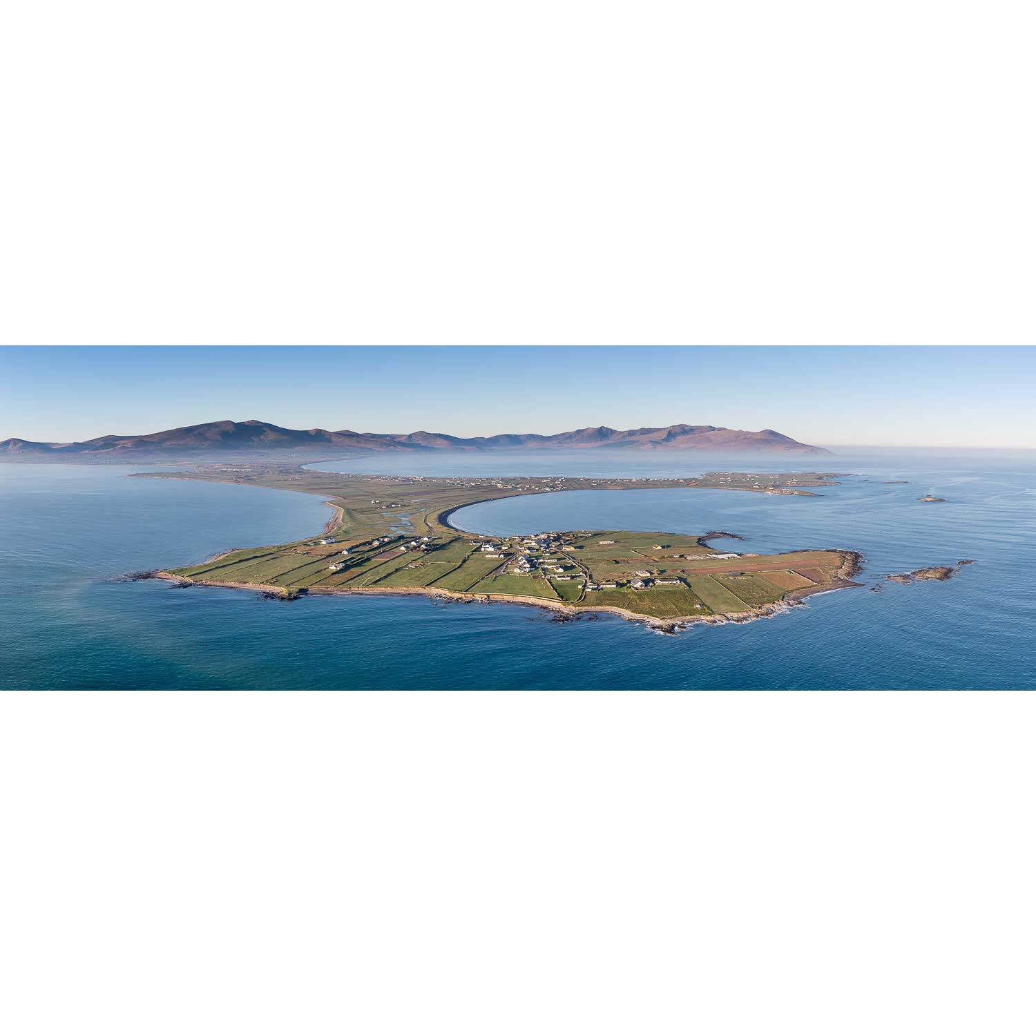
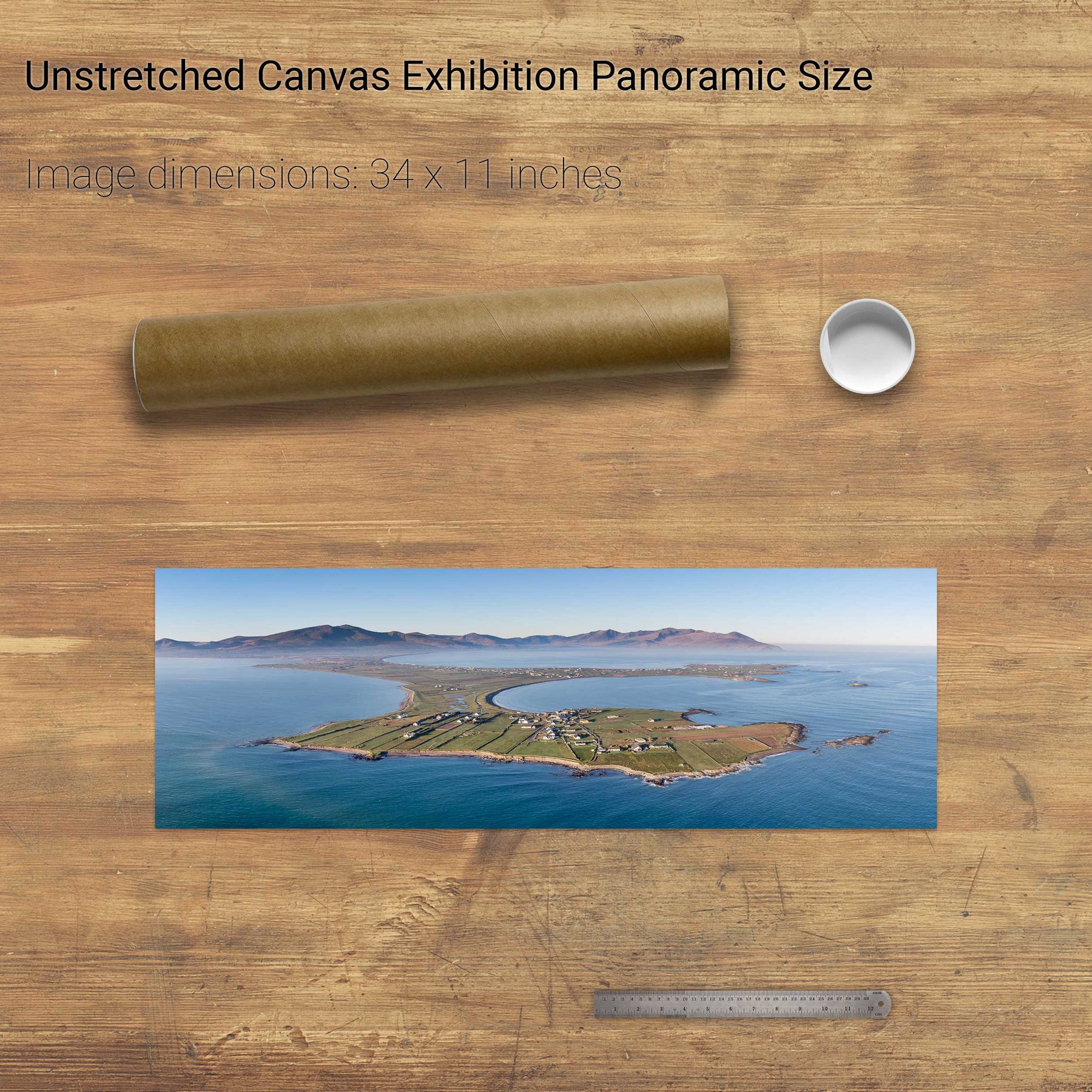
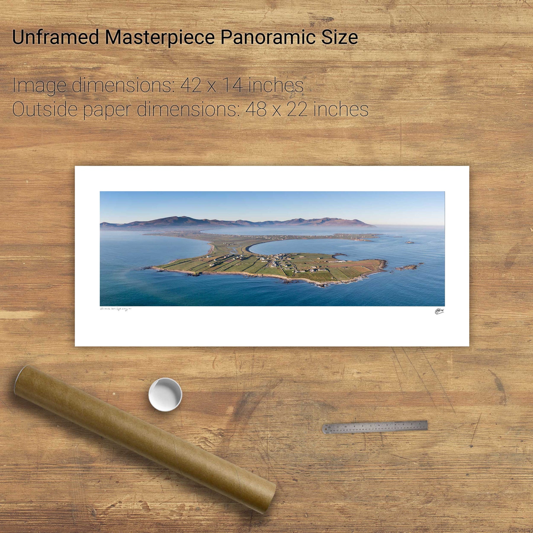
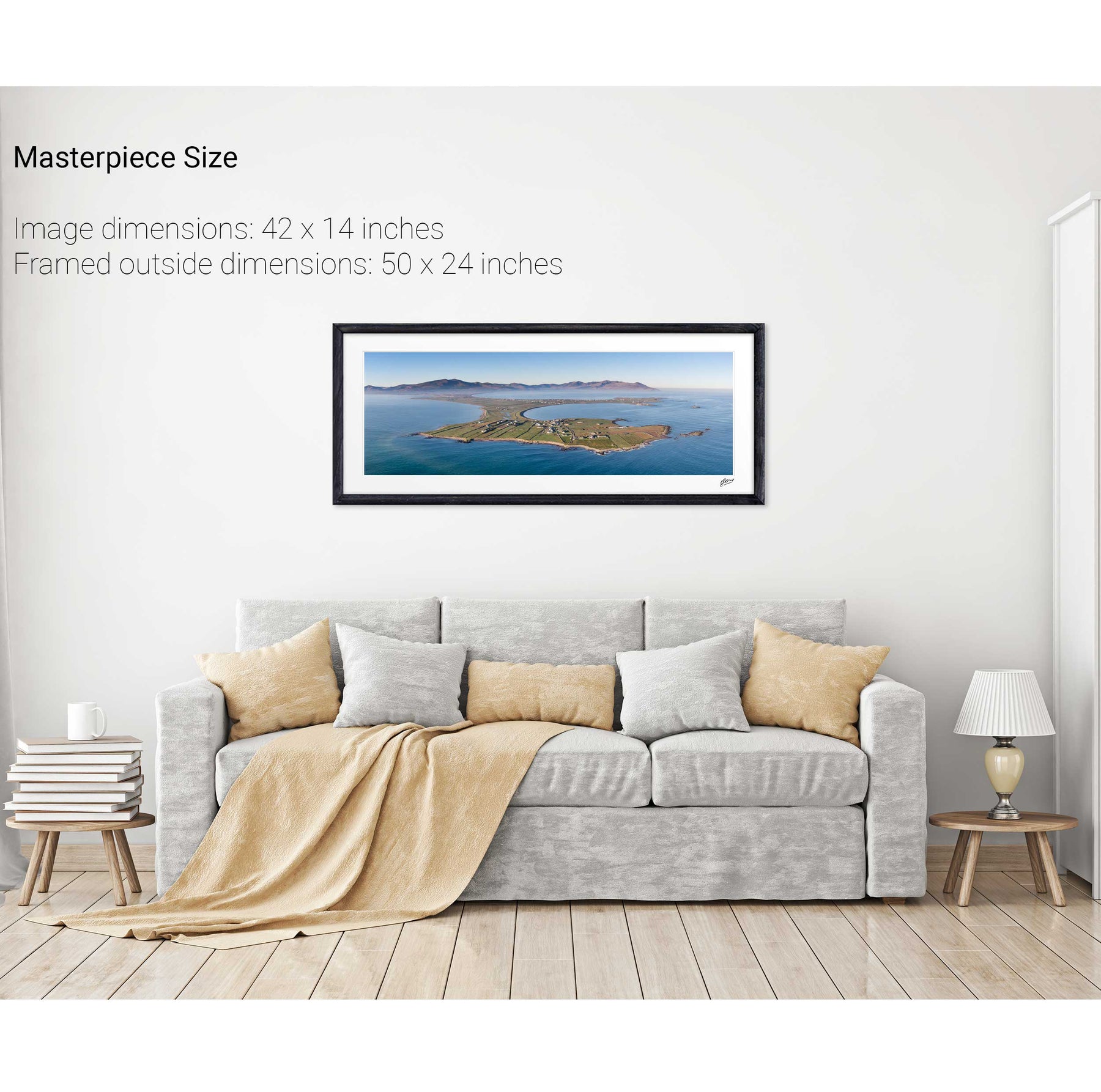
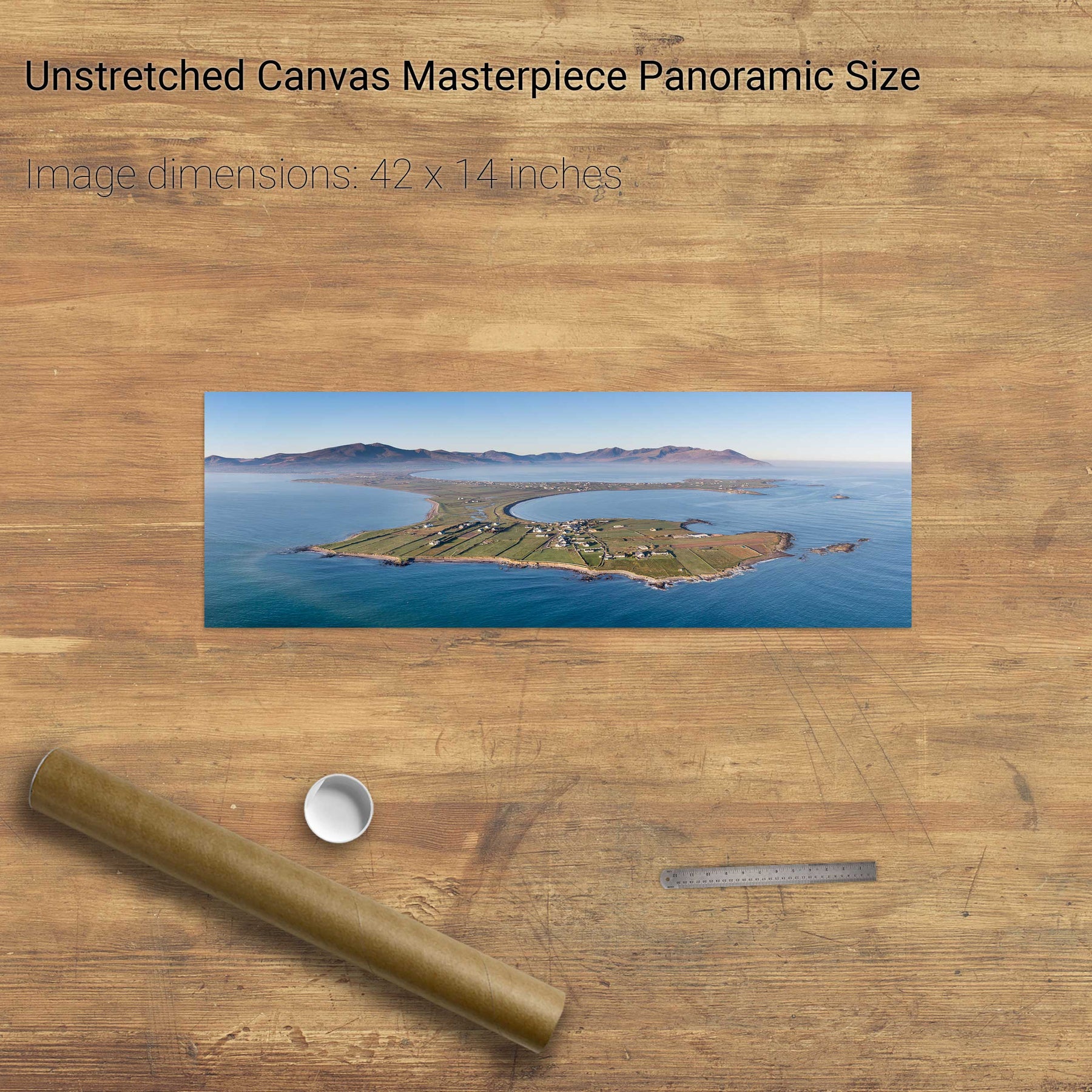
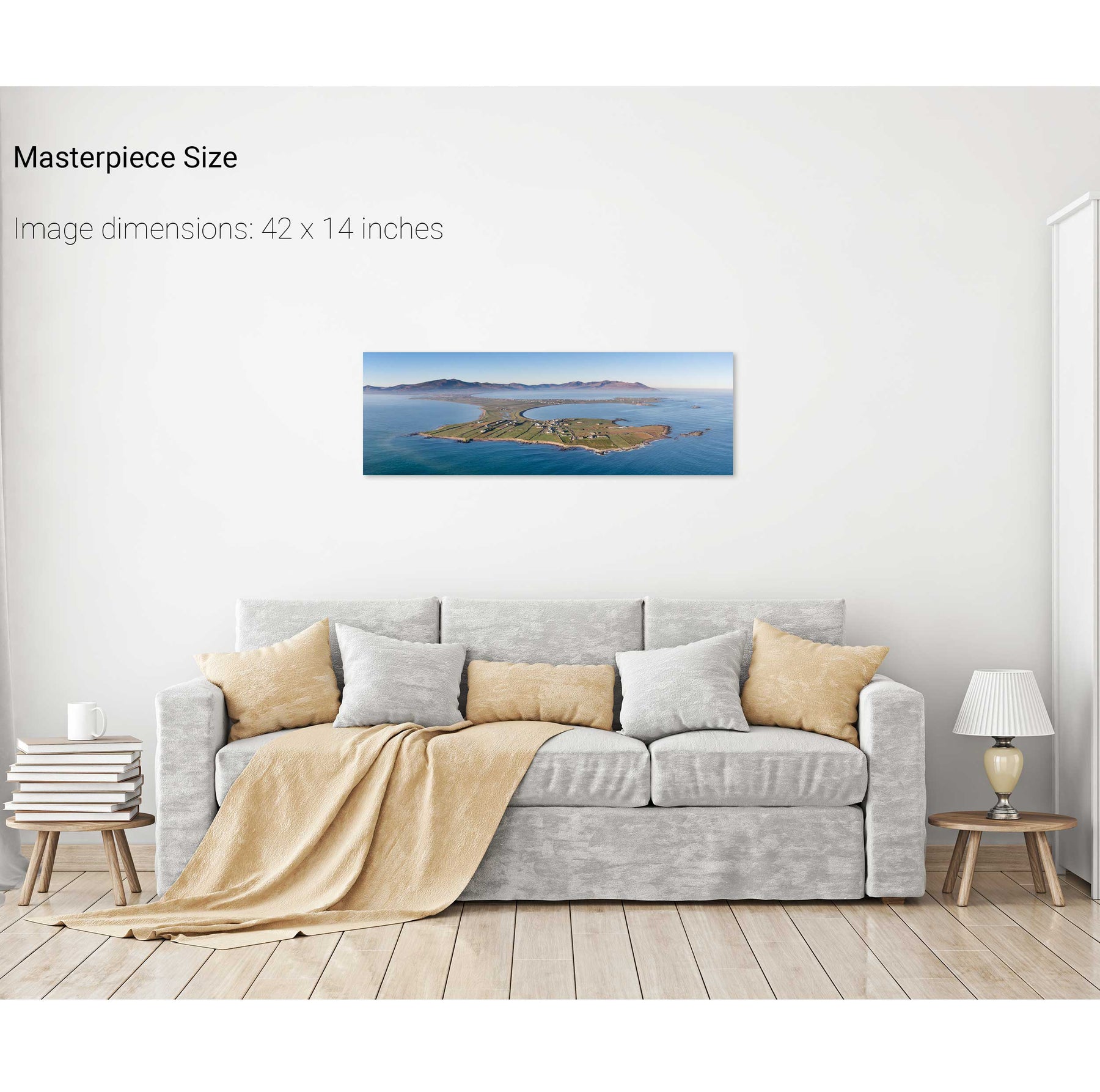
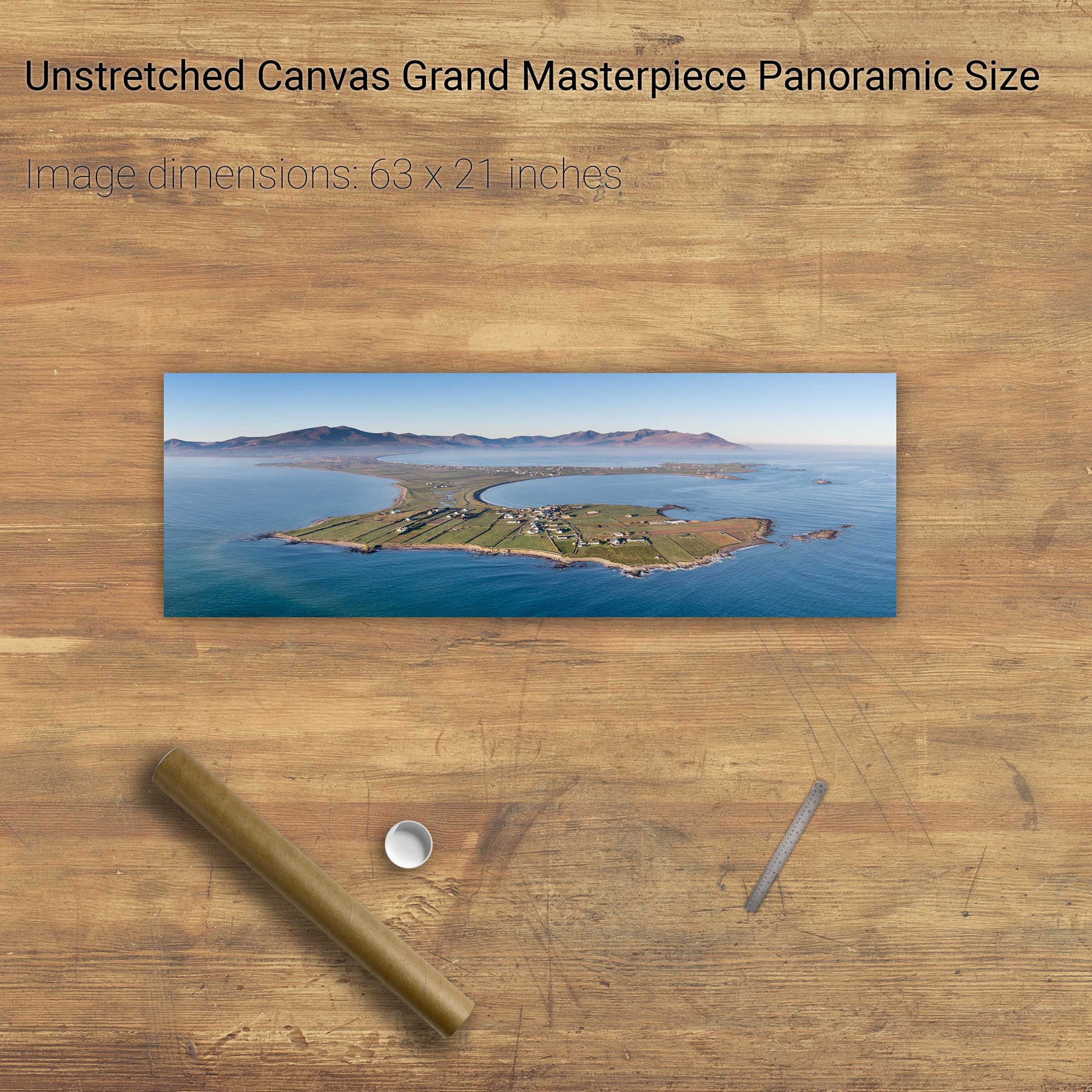
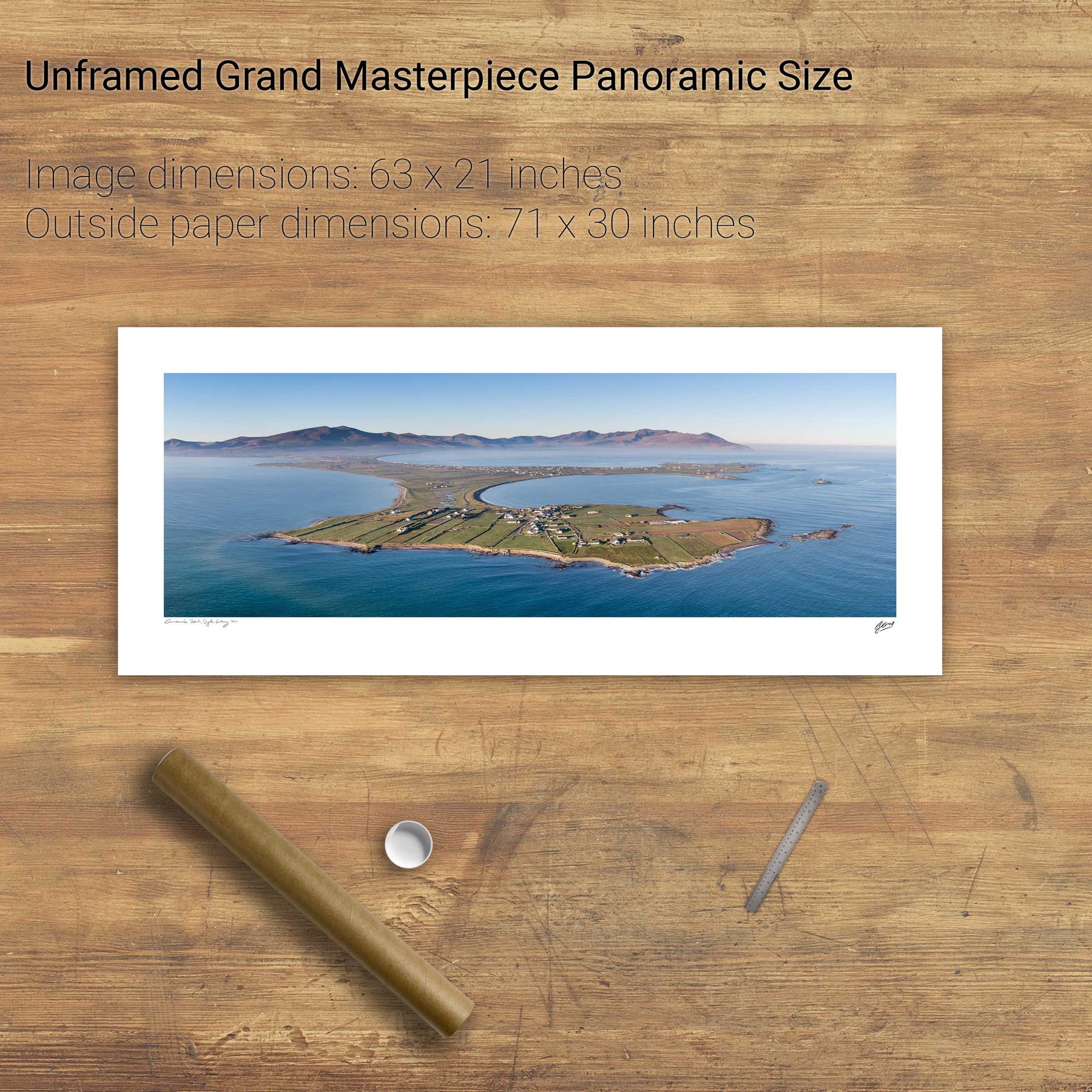
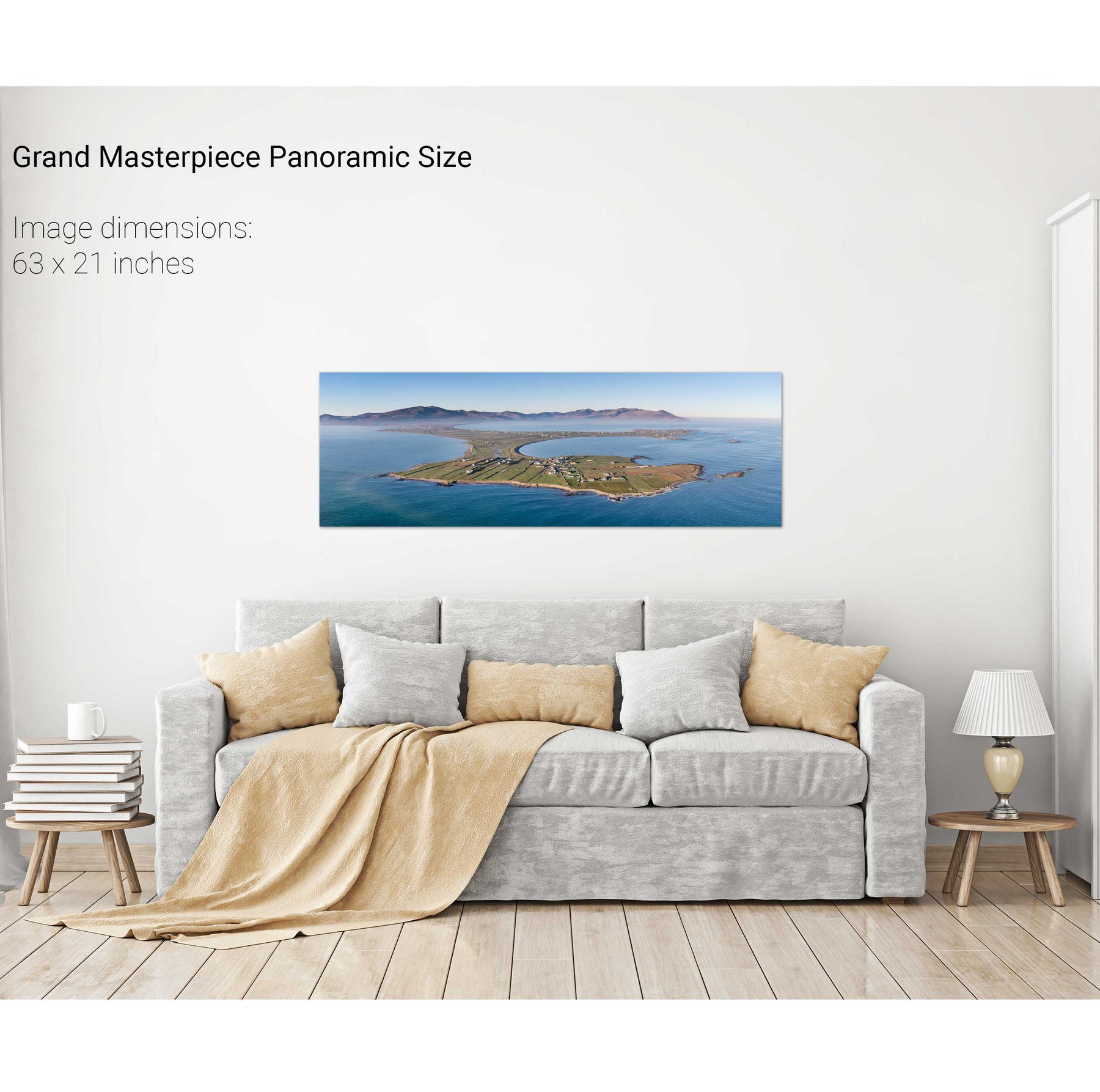
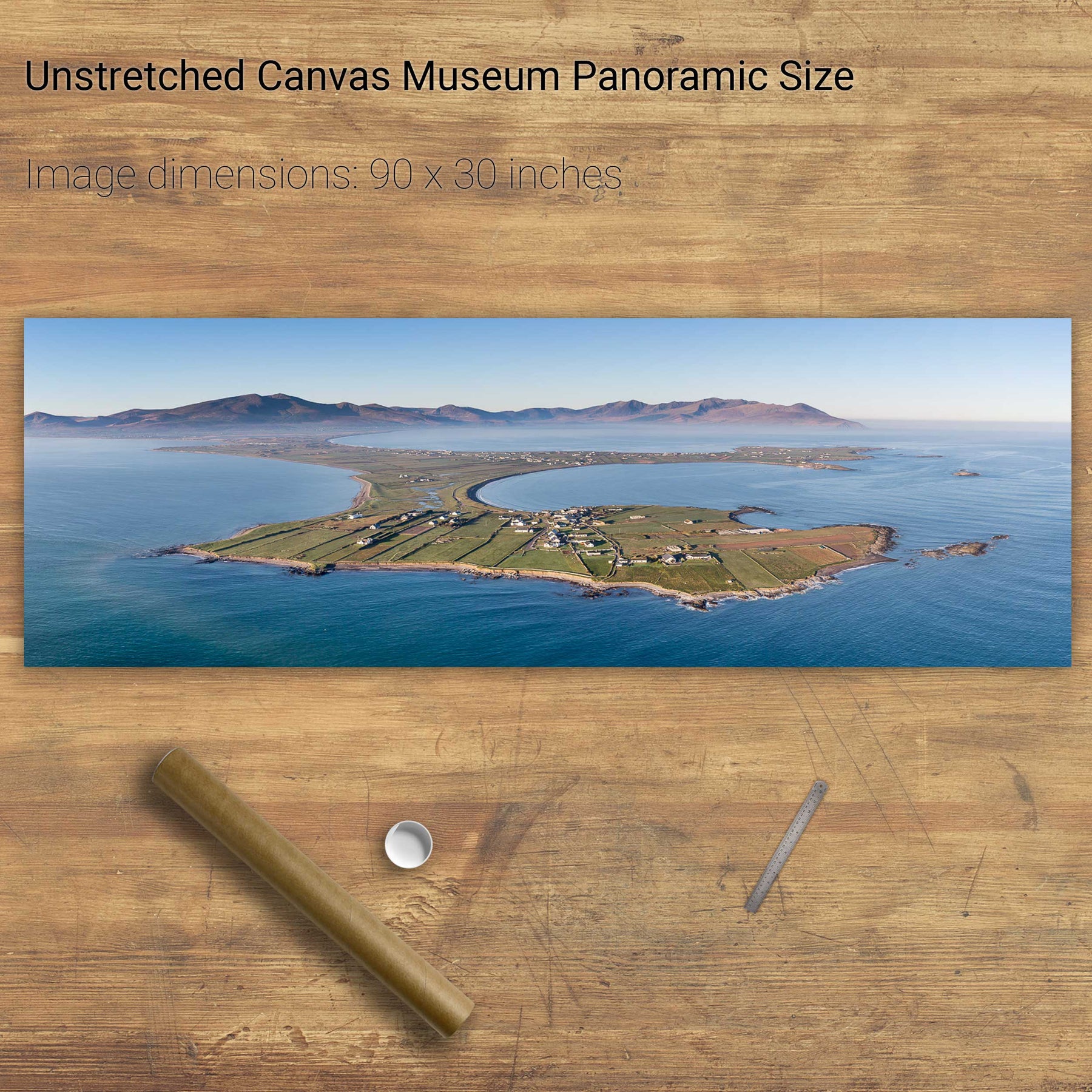
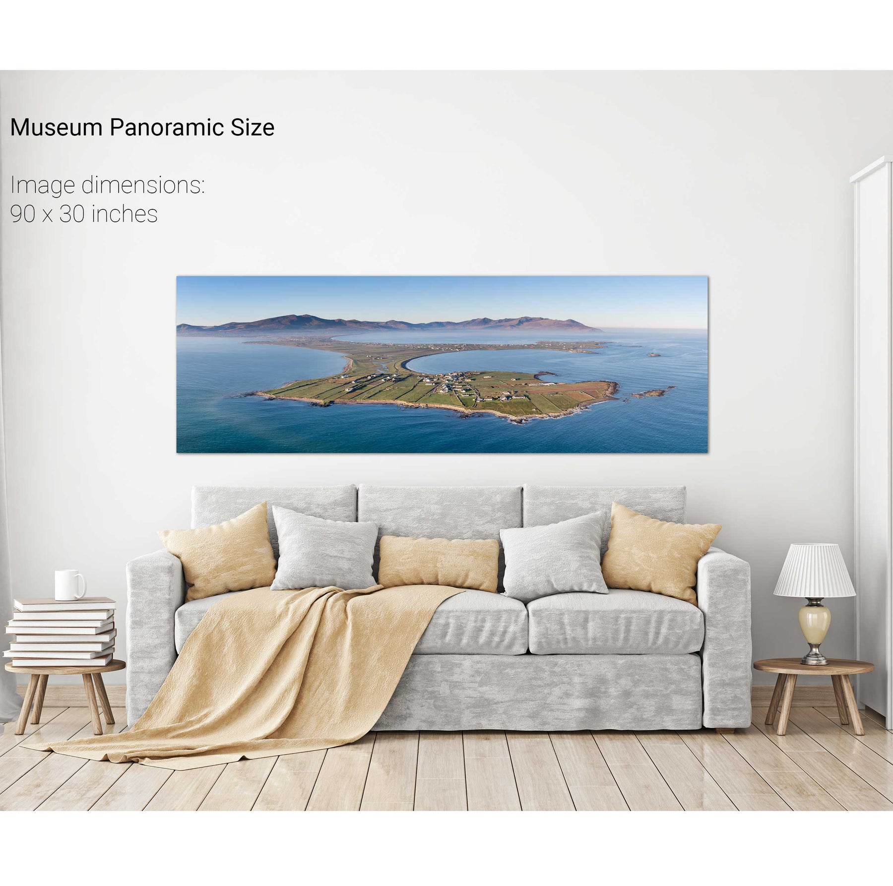
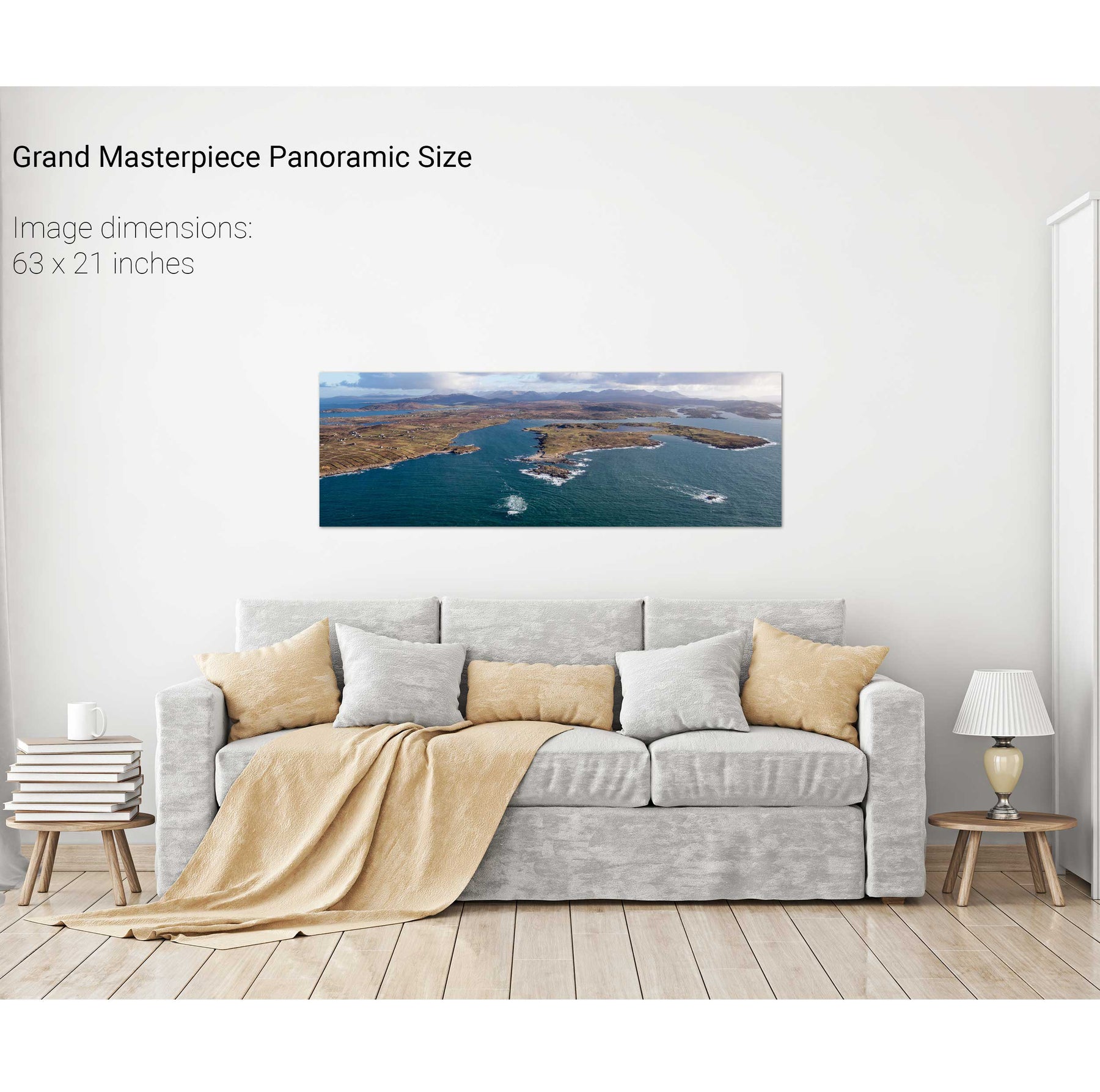
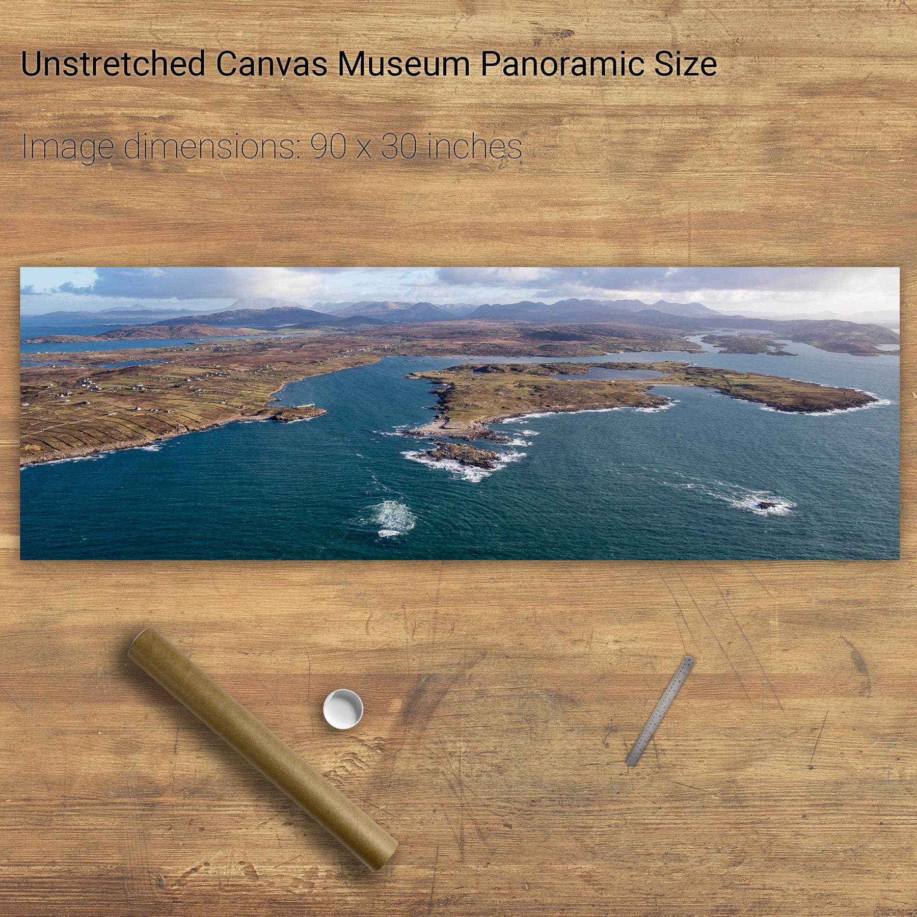
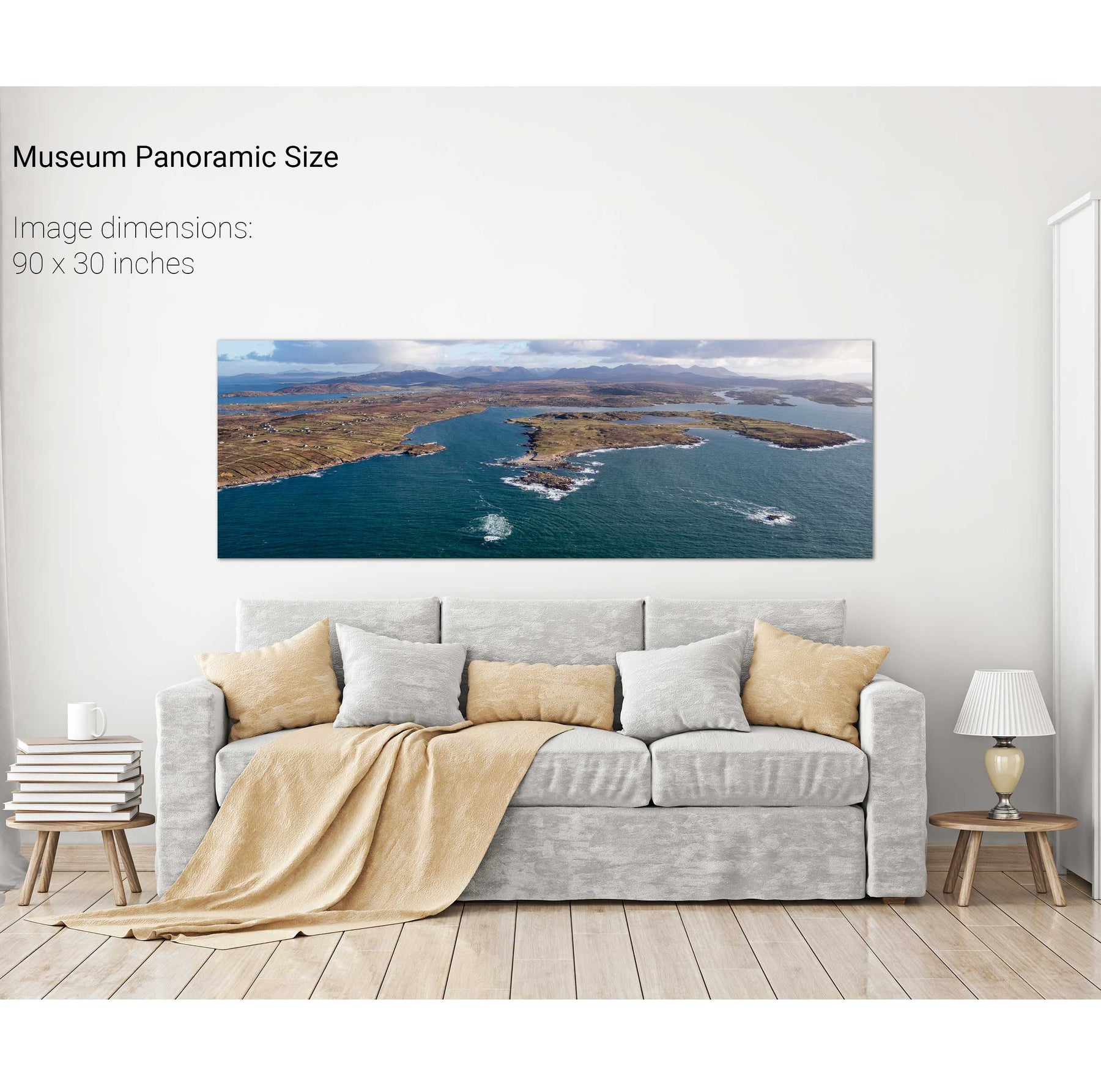
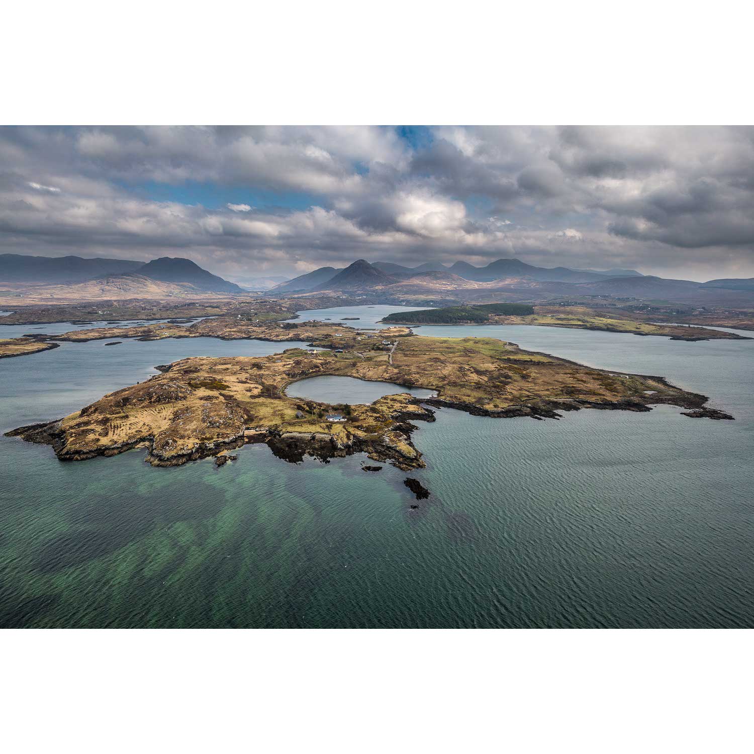
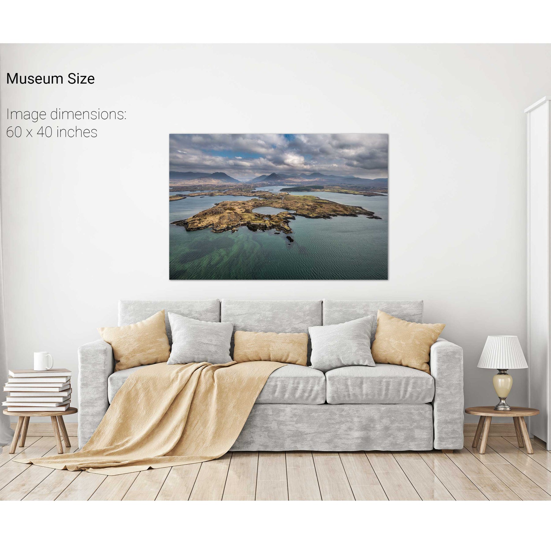
Omey Island, Co. Galway
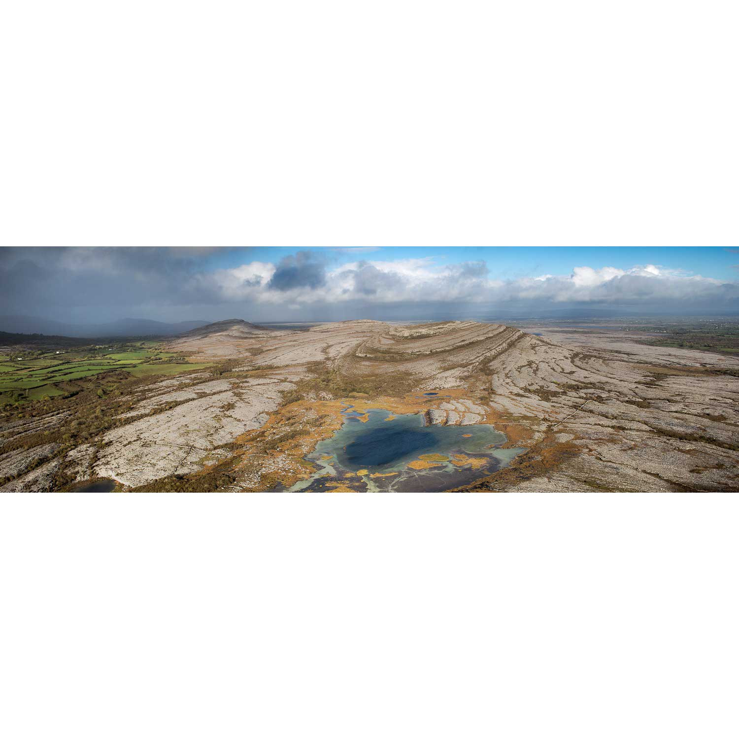
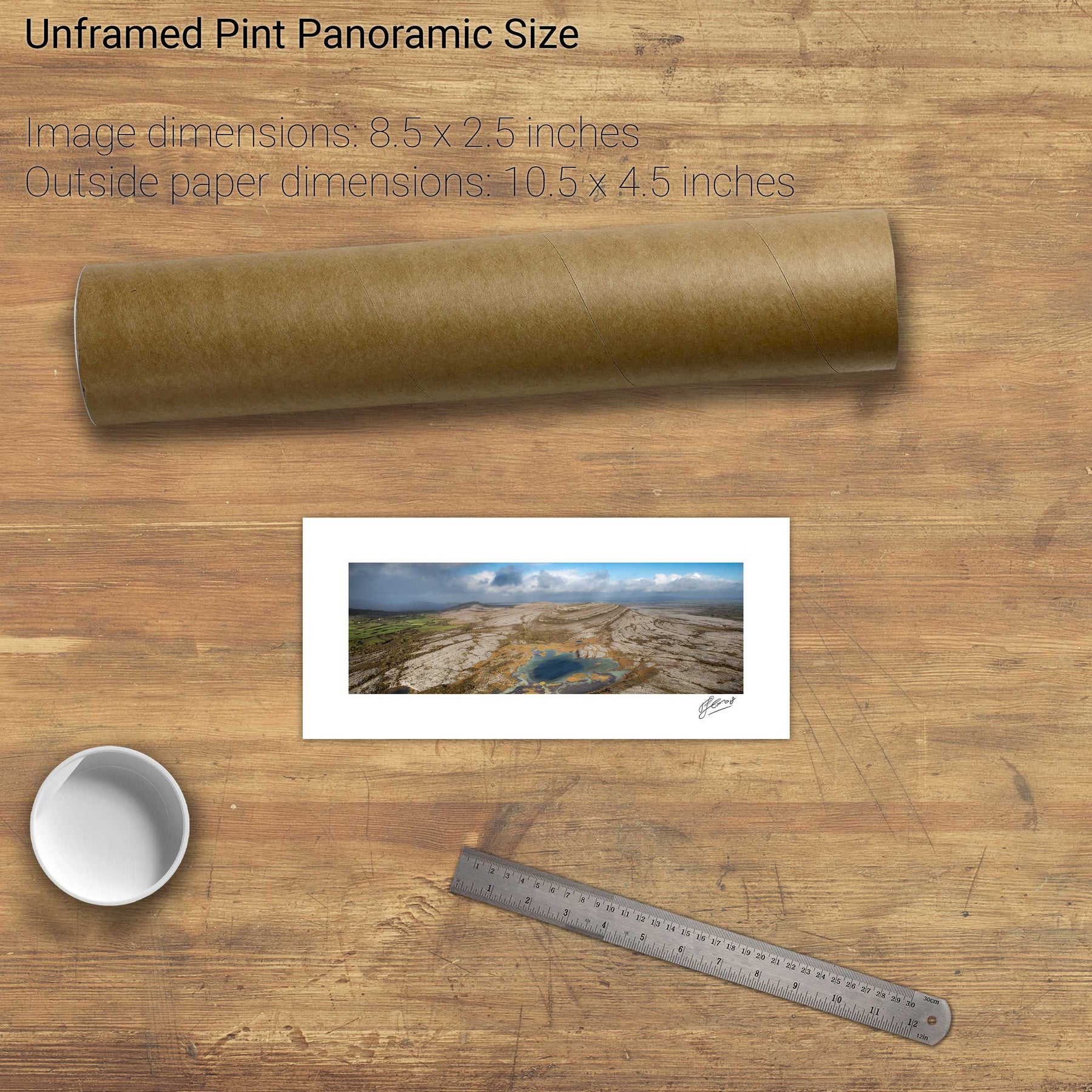
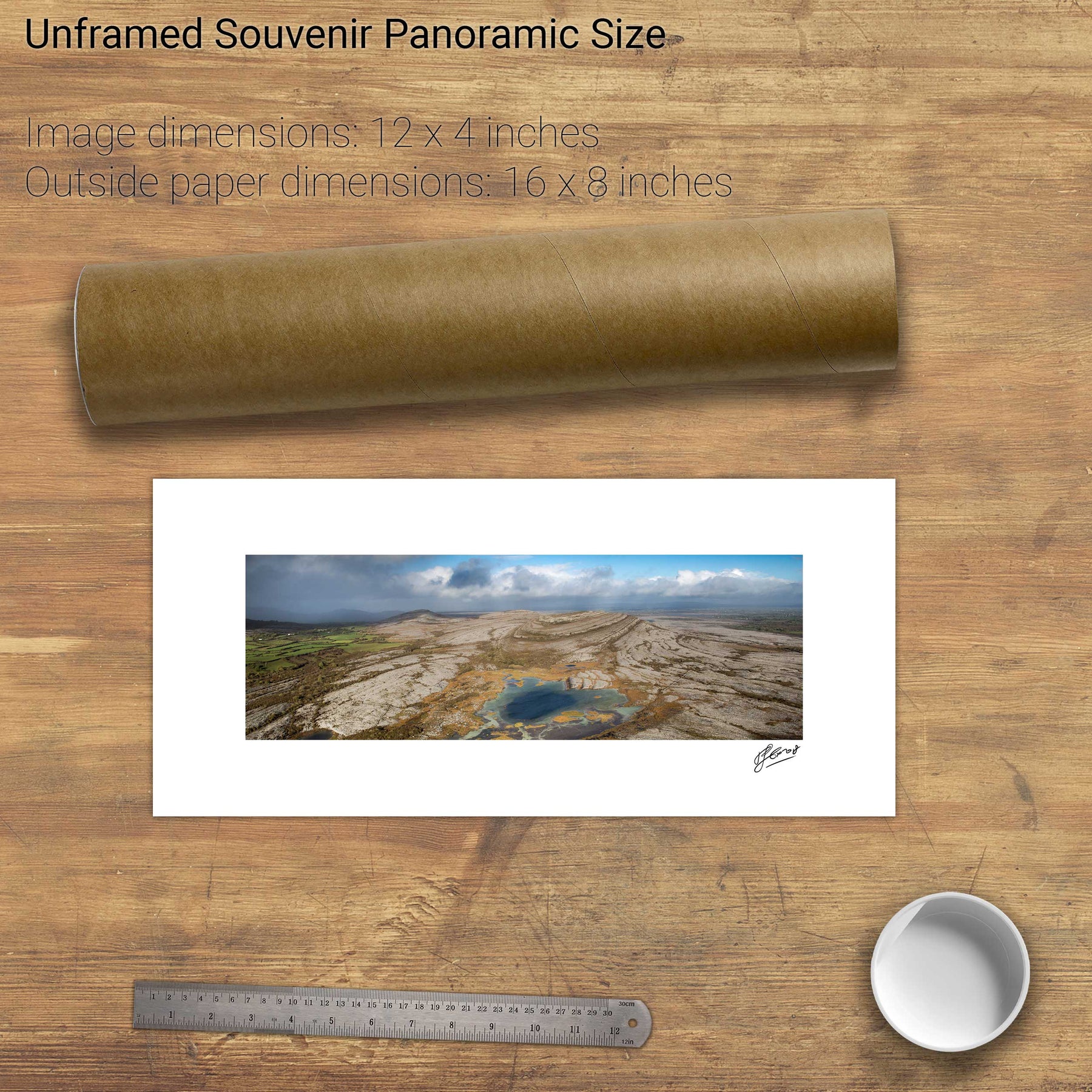
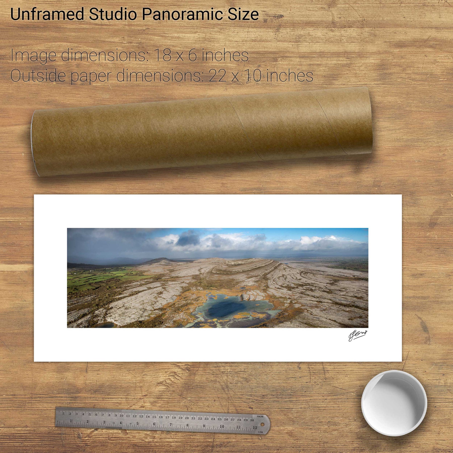
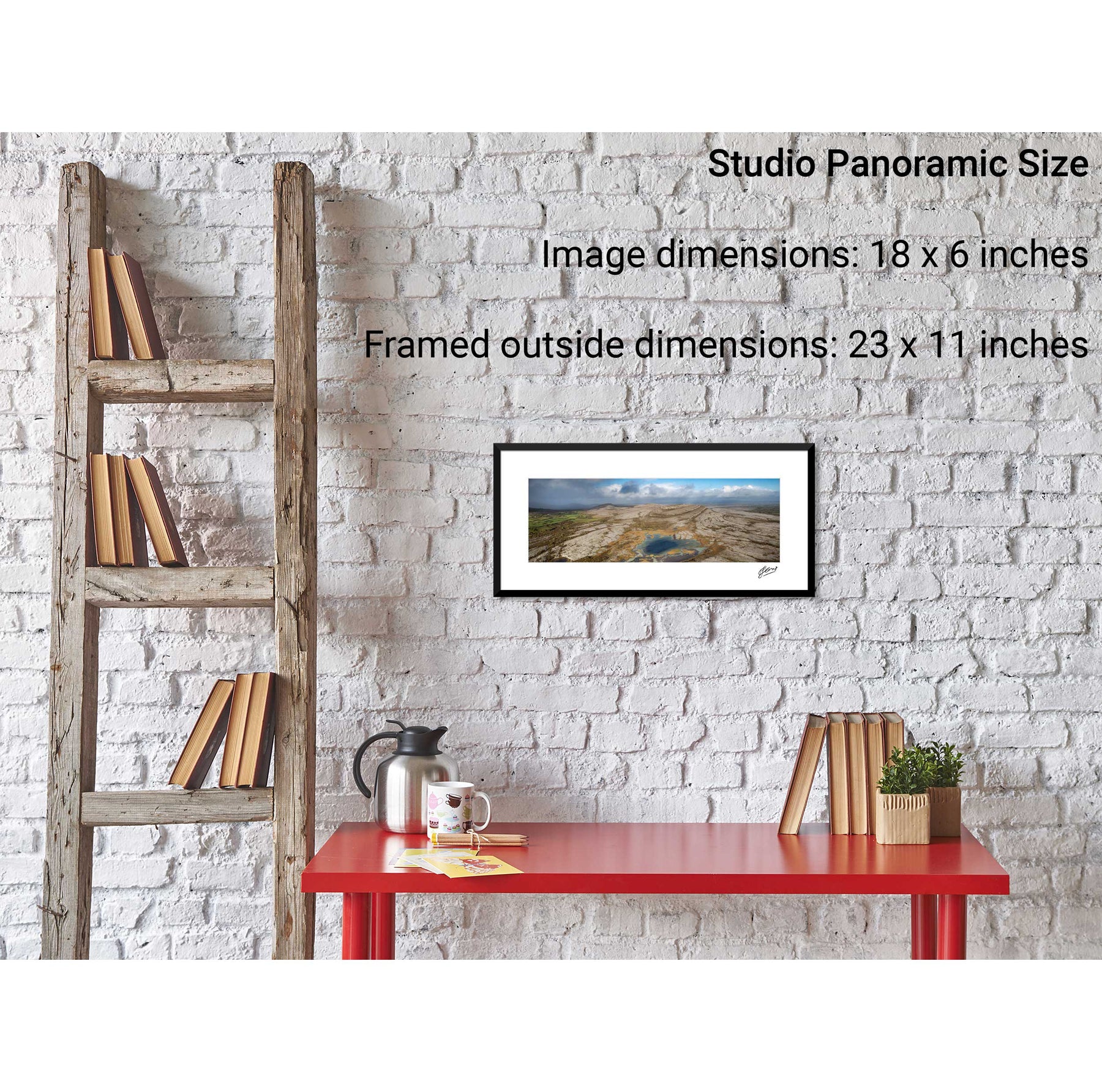
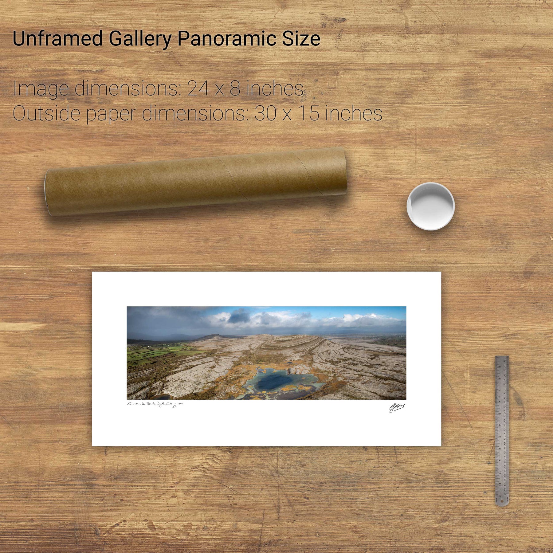
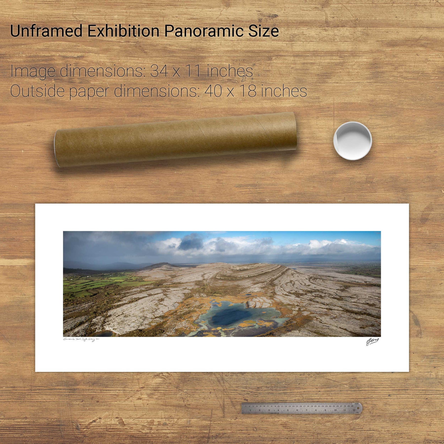
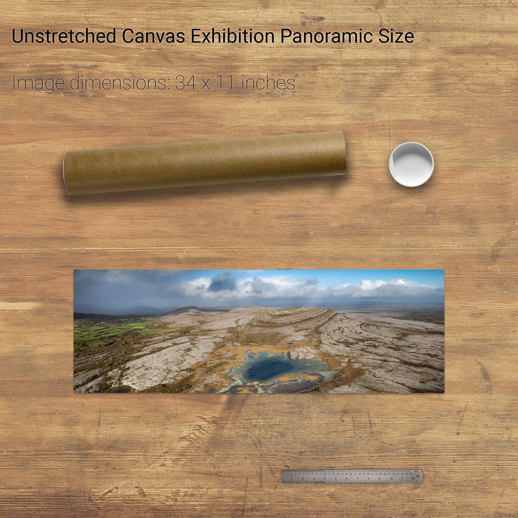
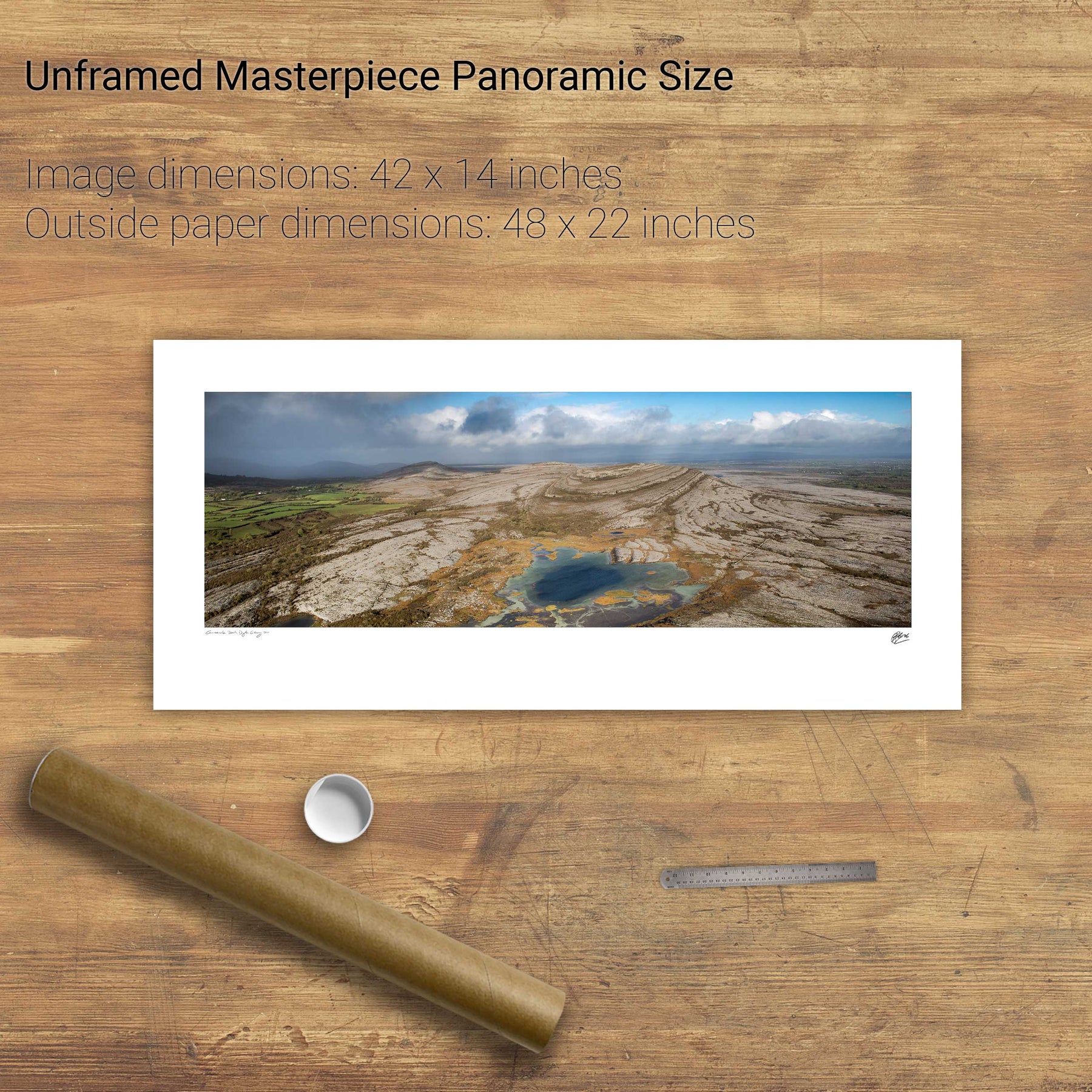
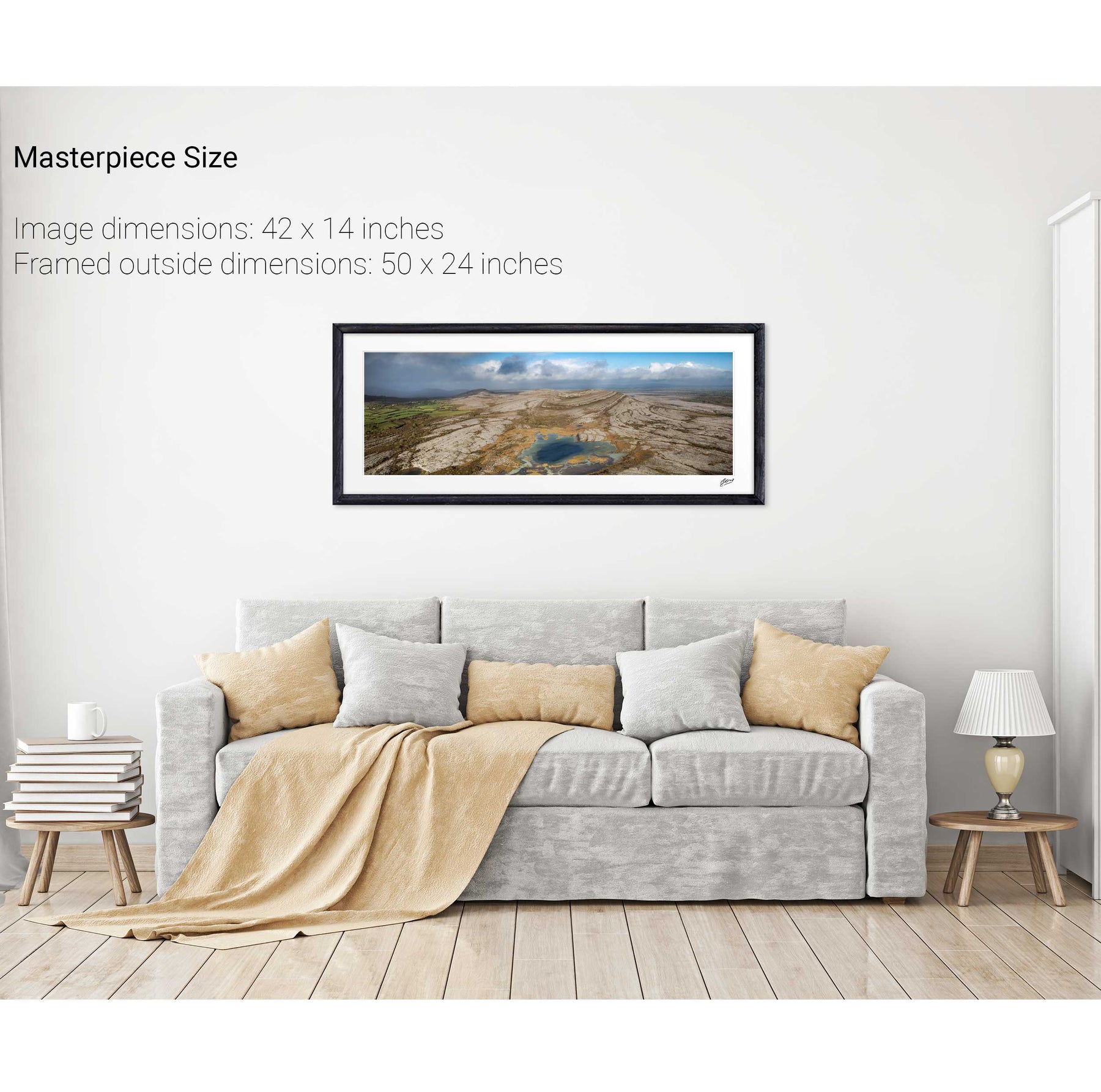
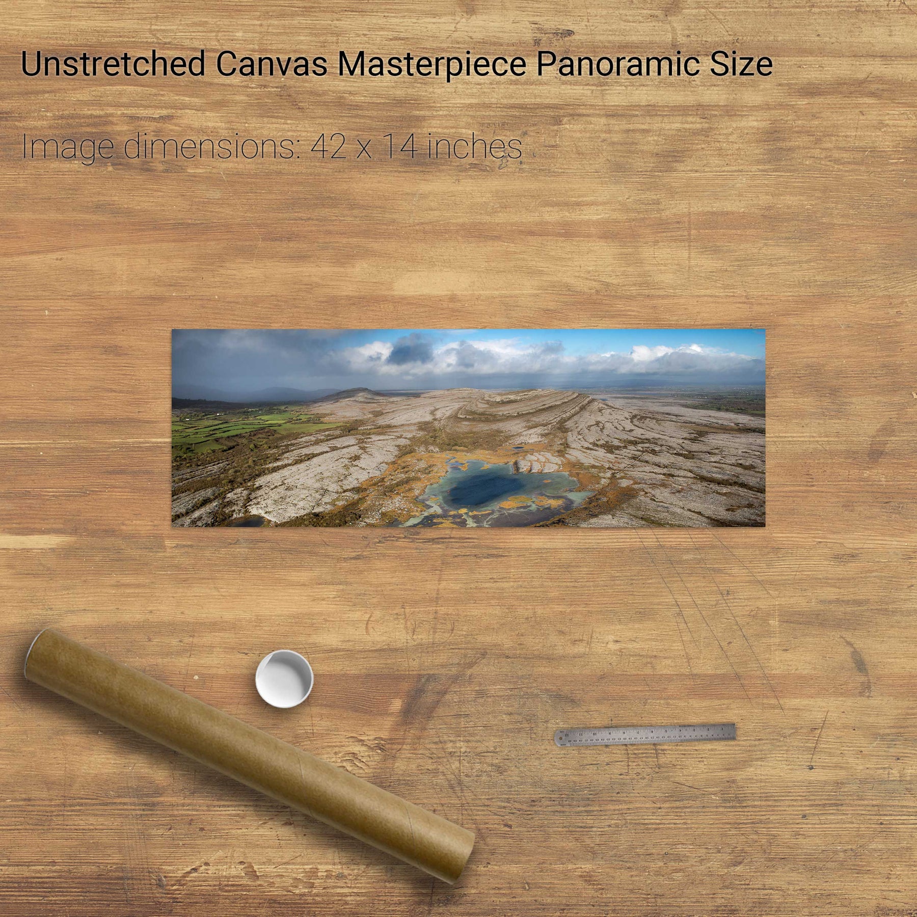
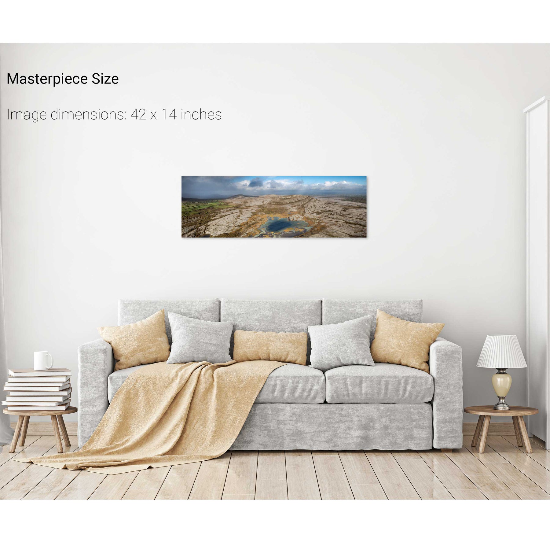
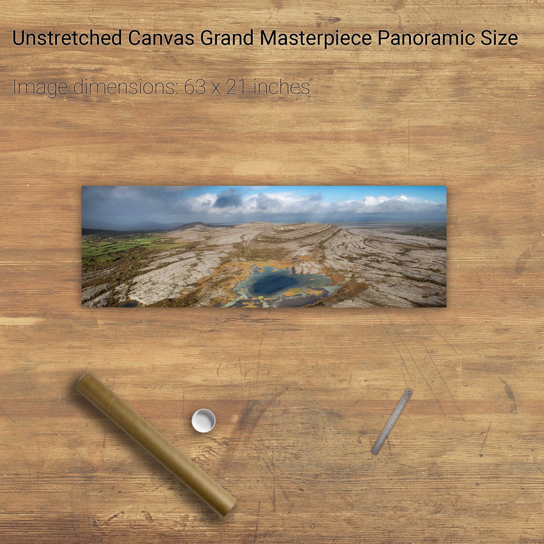
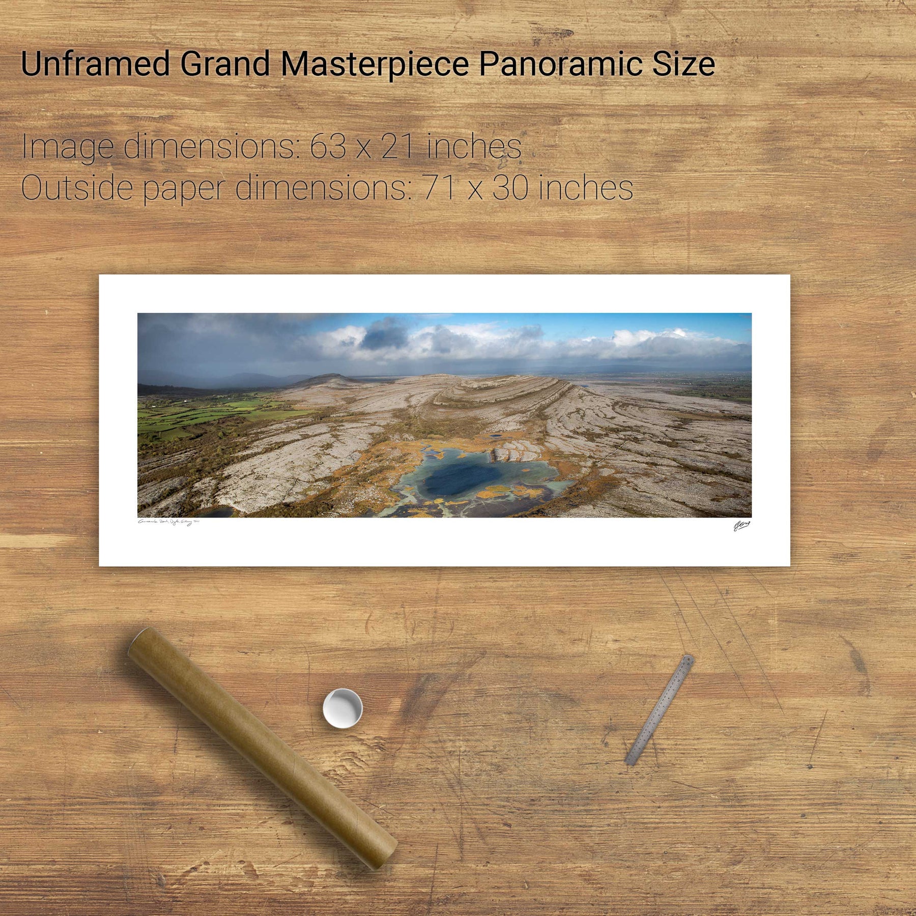
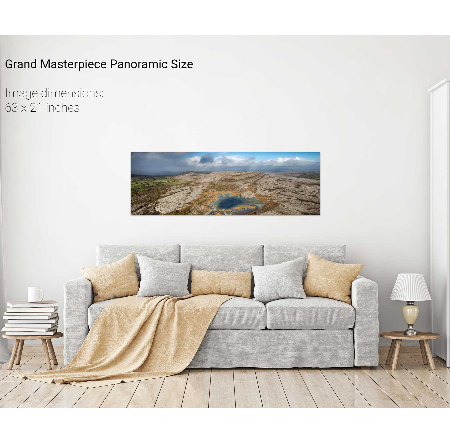
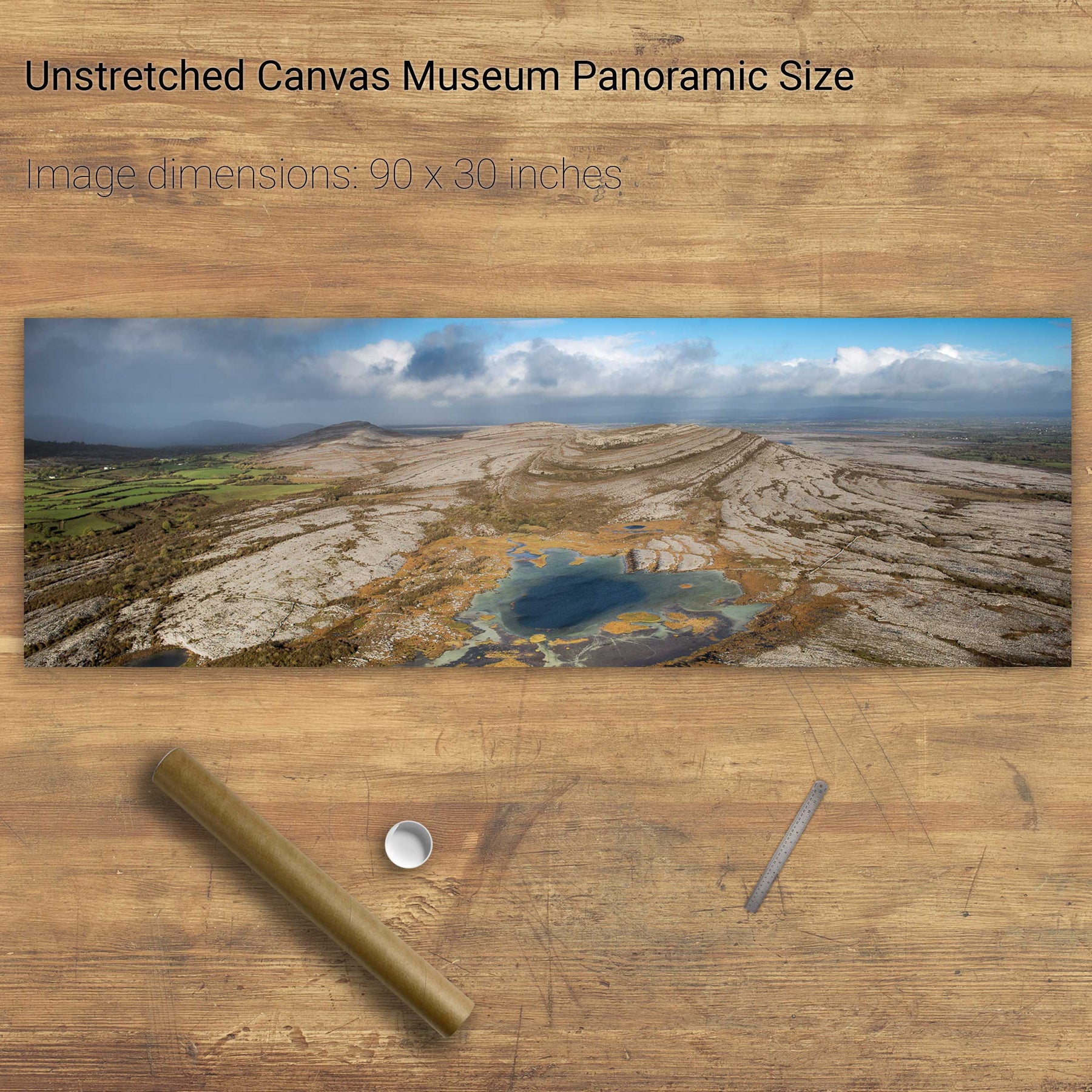
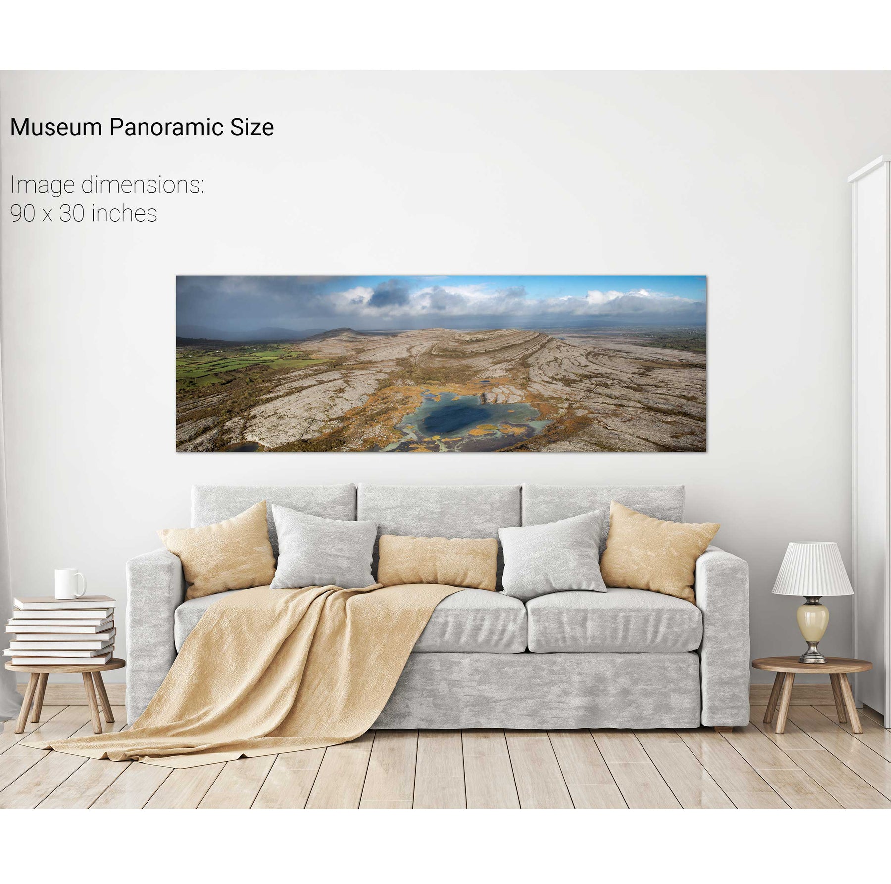
Mullaghmore, the Burren, Co. Clare
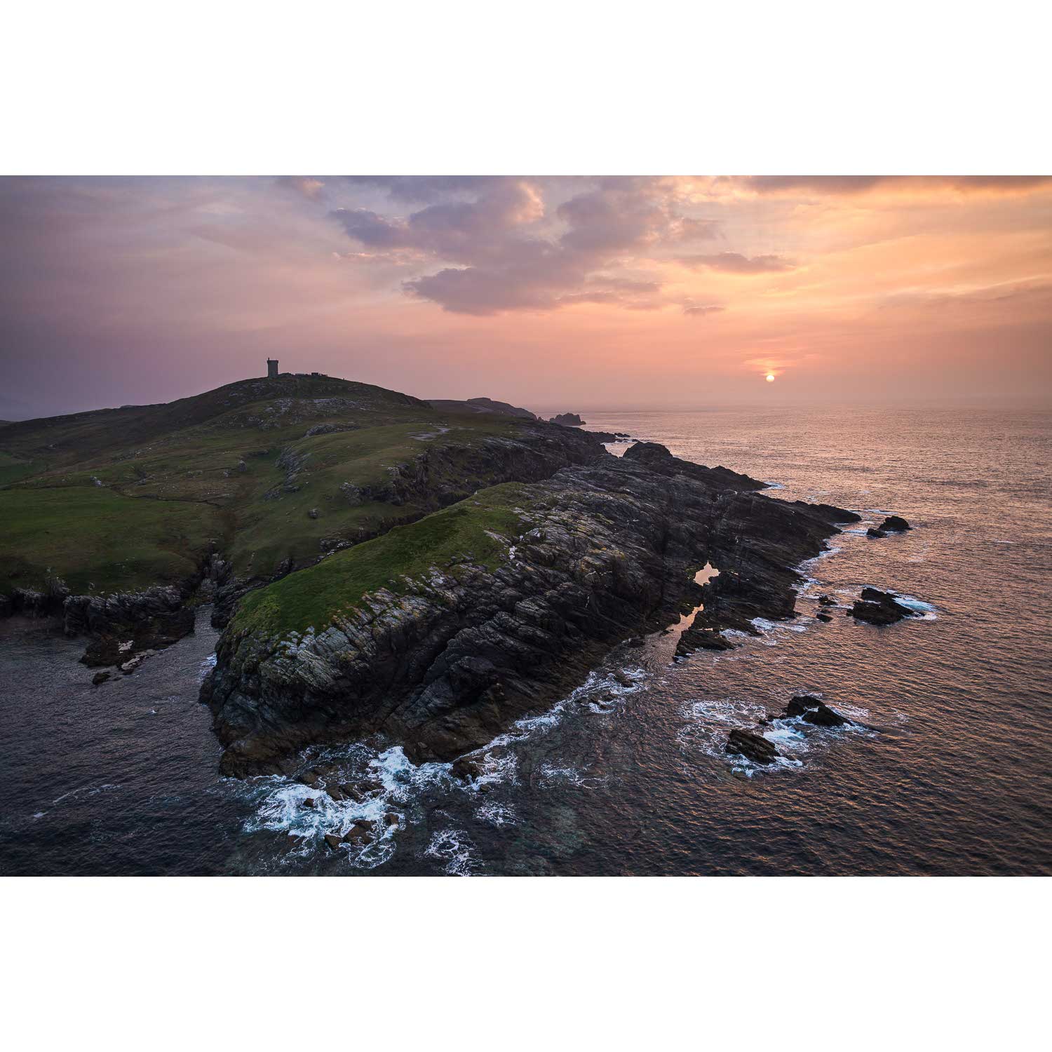
Malin Head, Co. Donegal
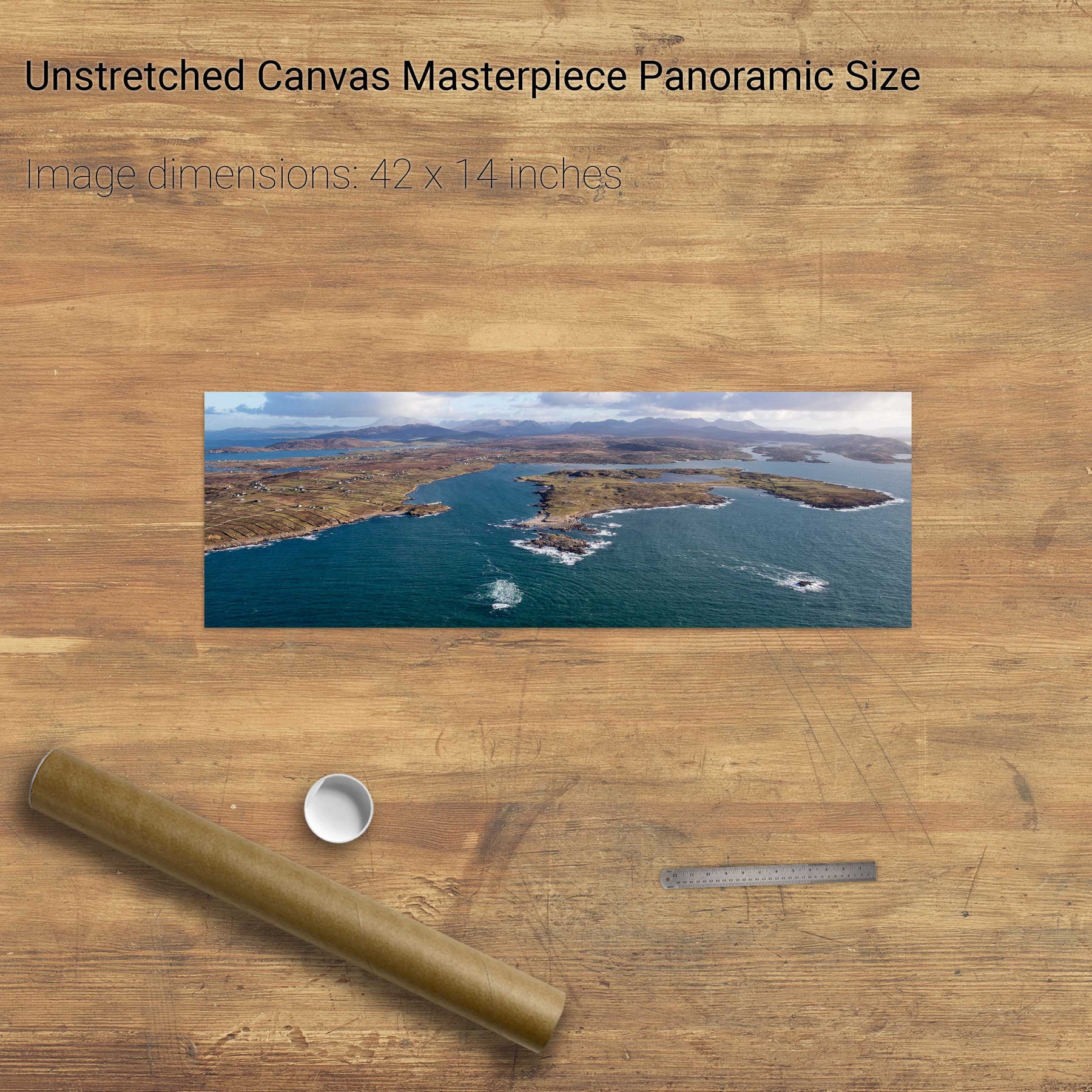
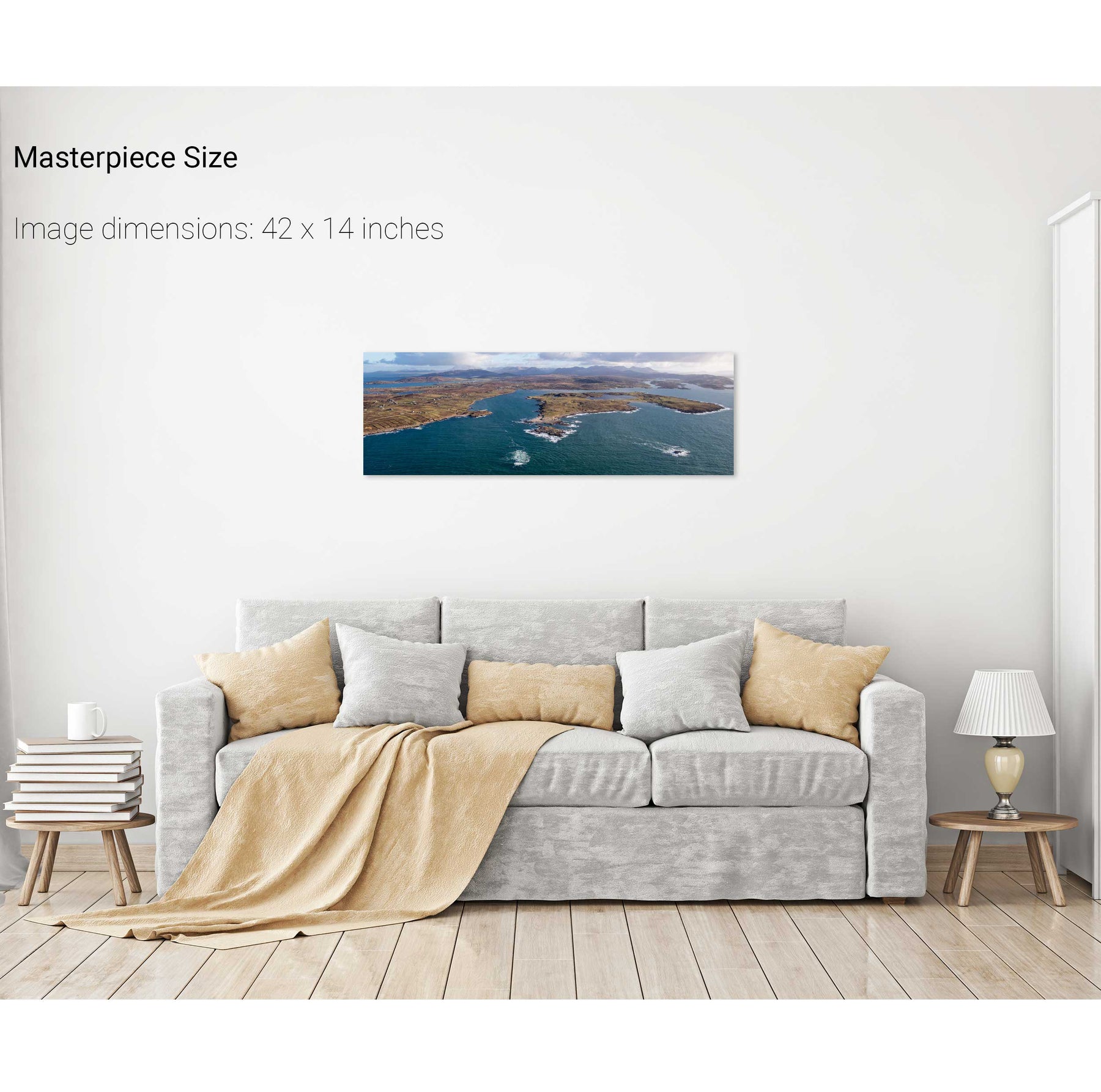
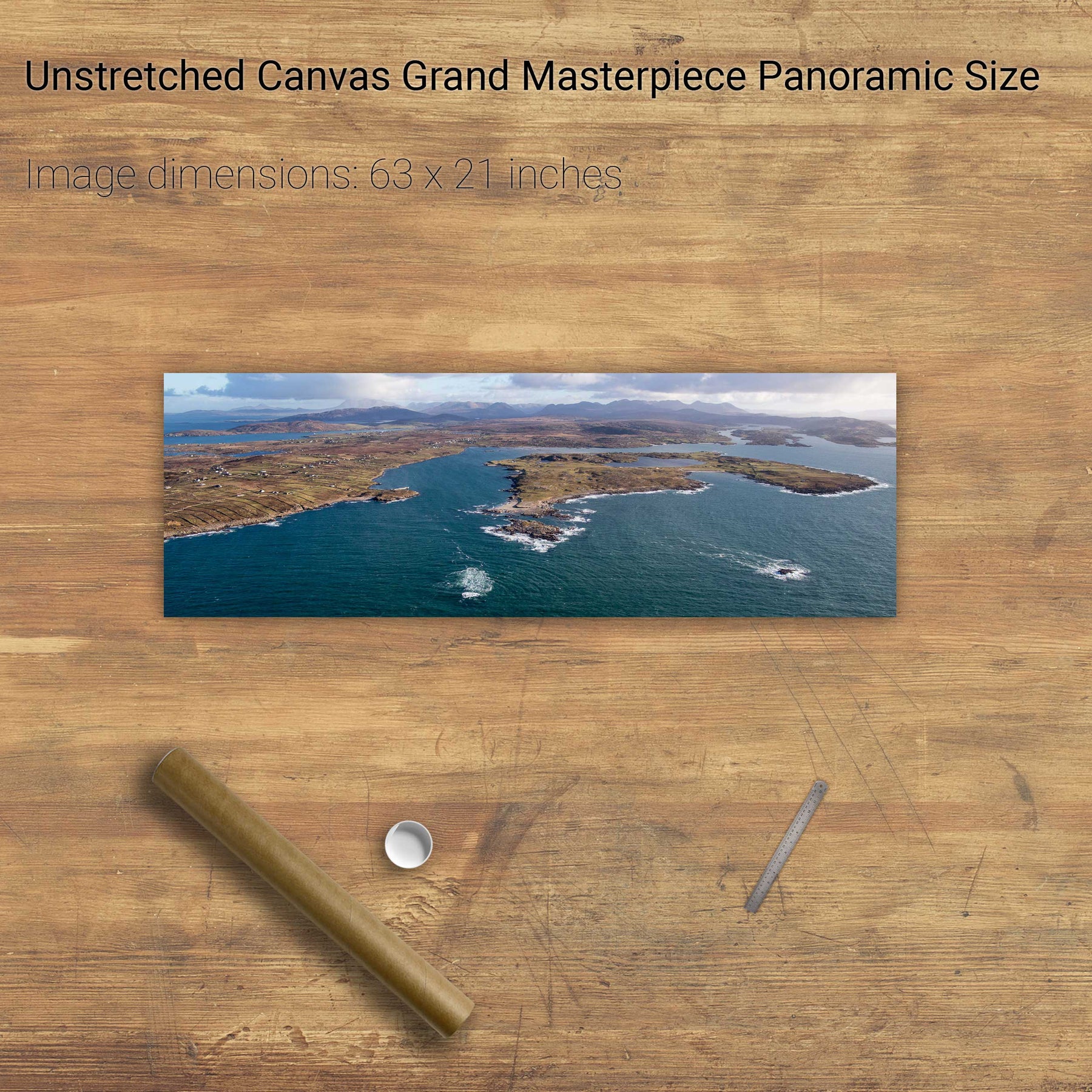
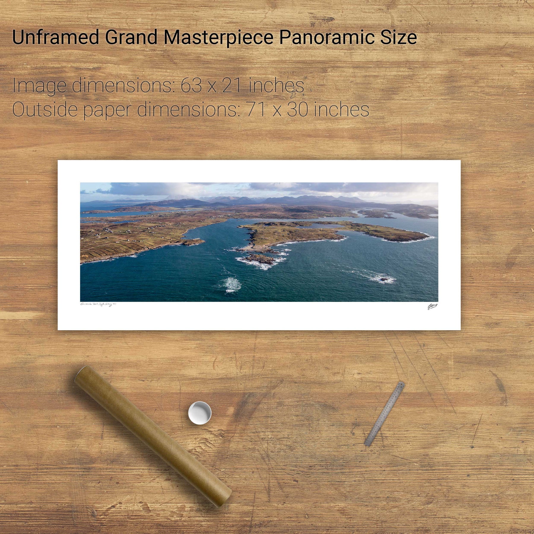
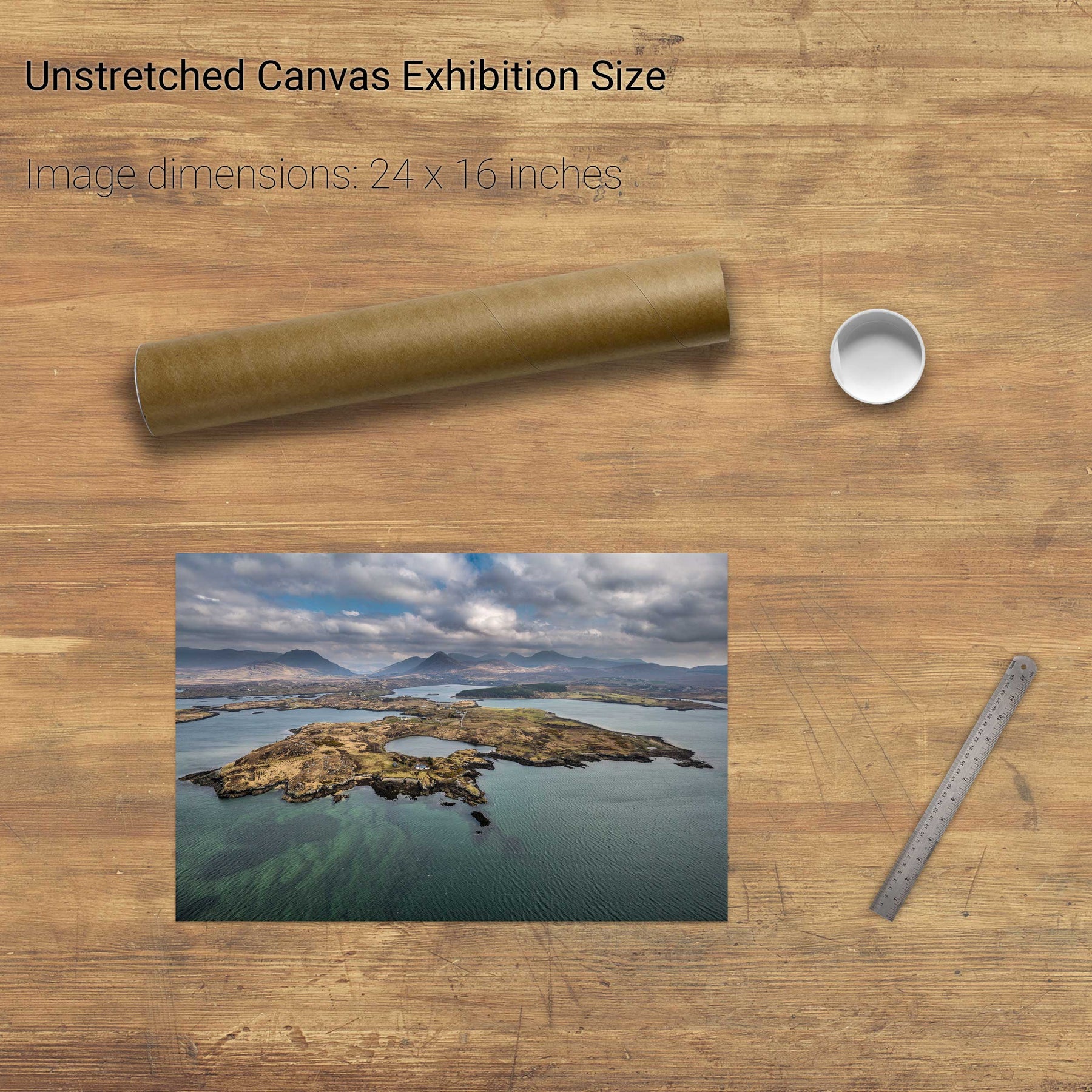
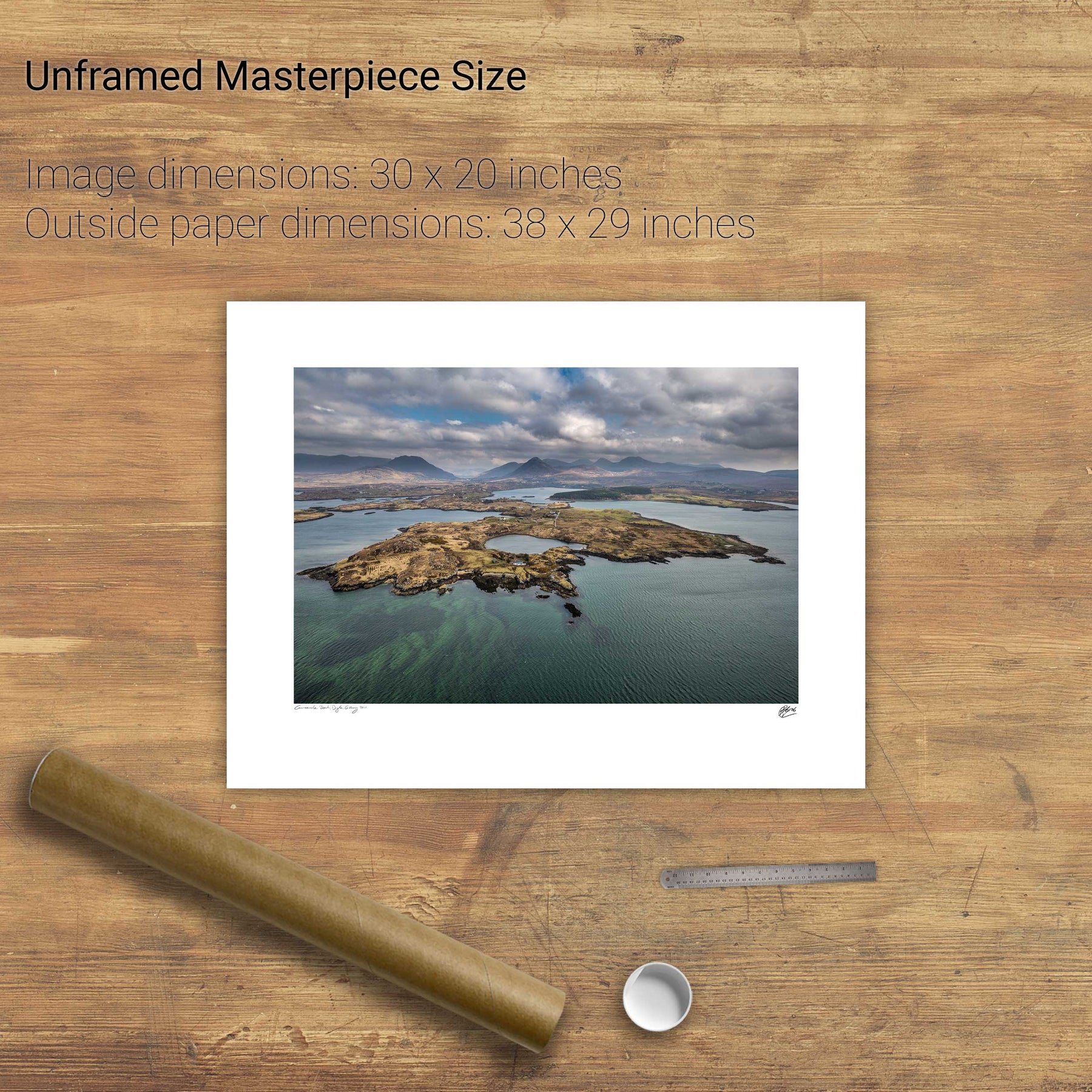
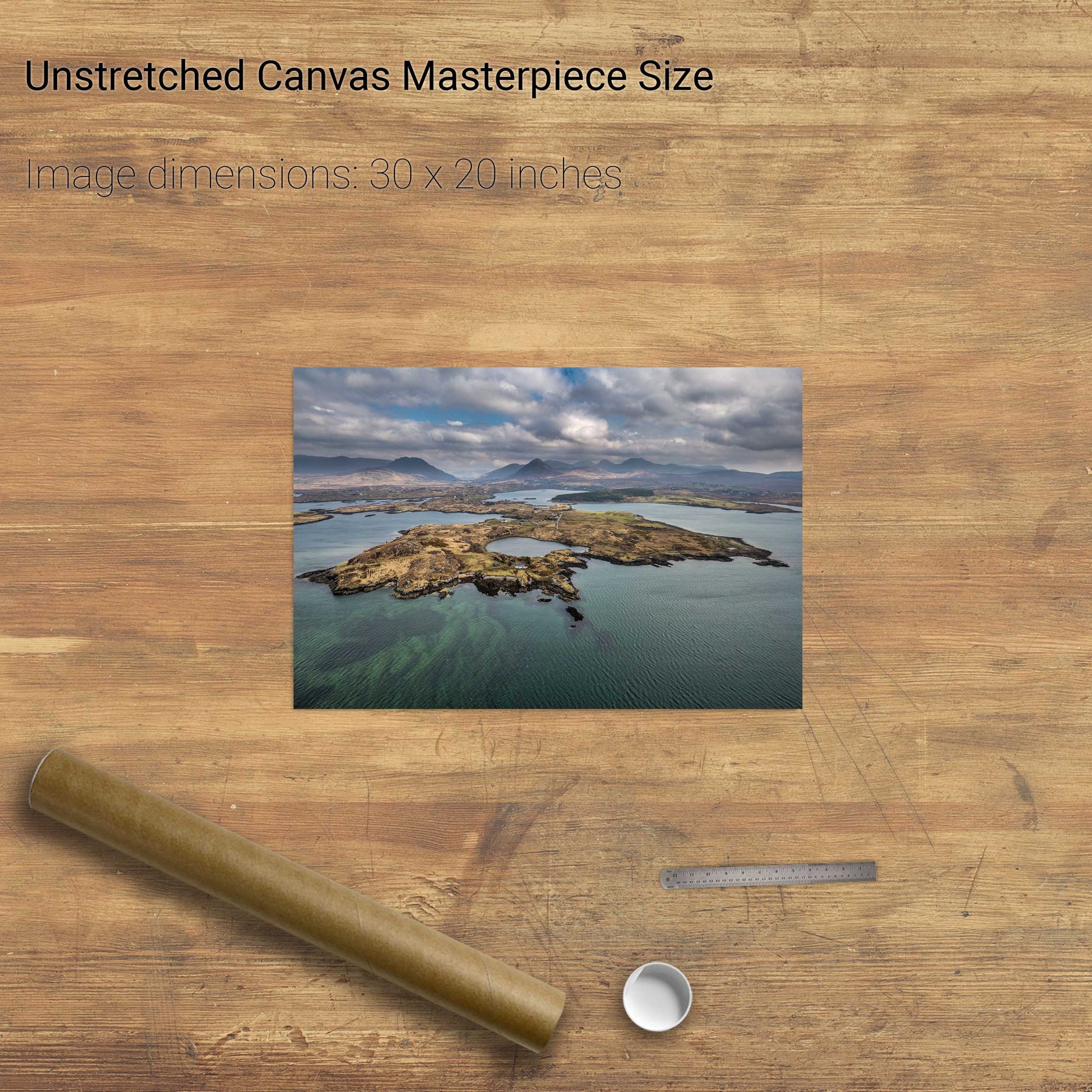
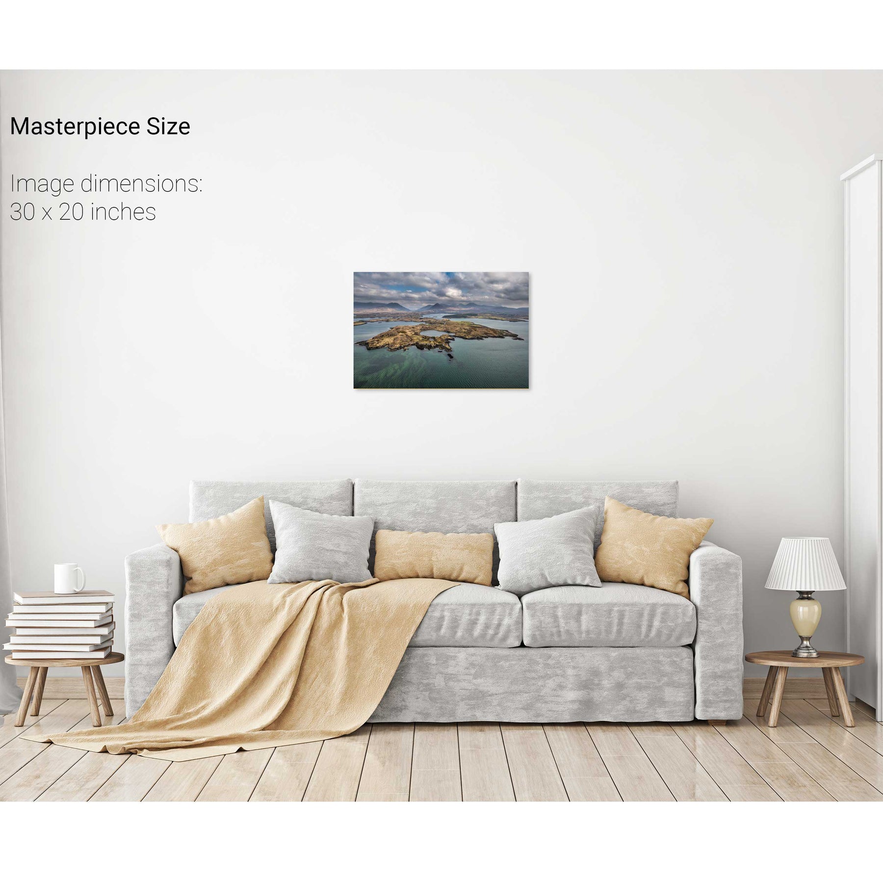
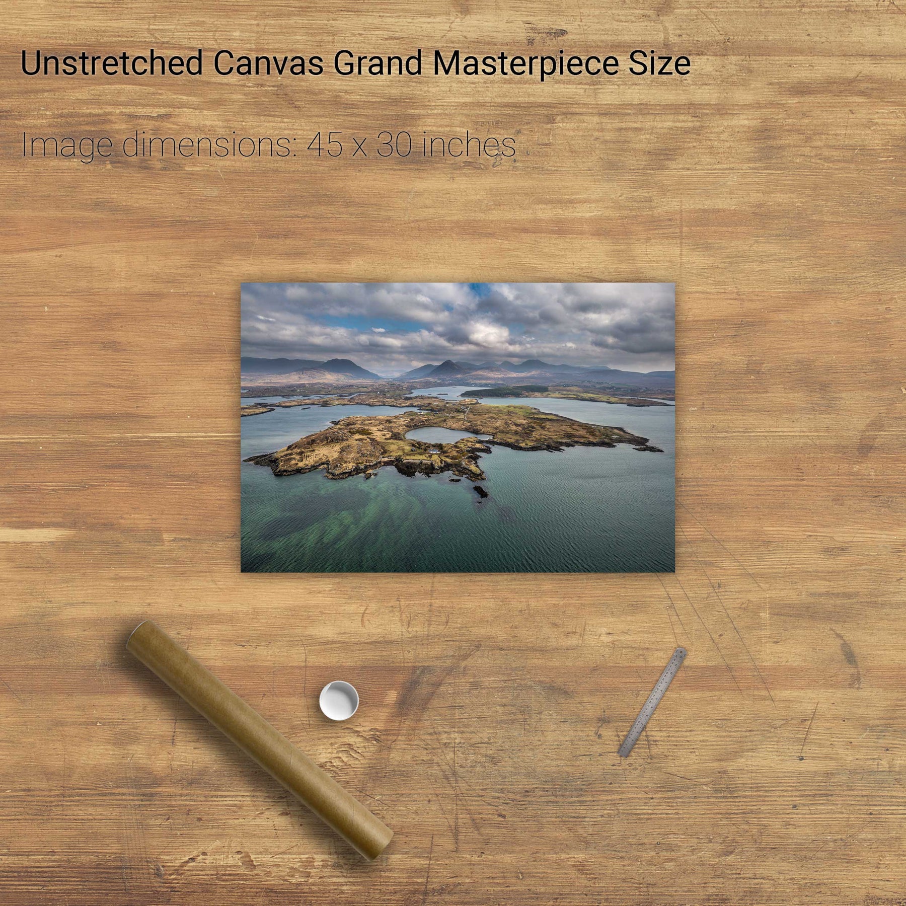
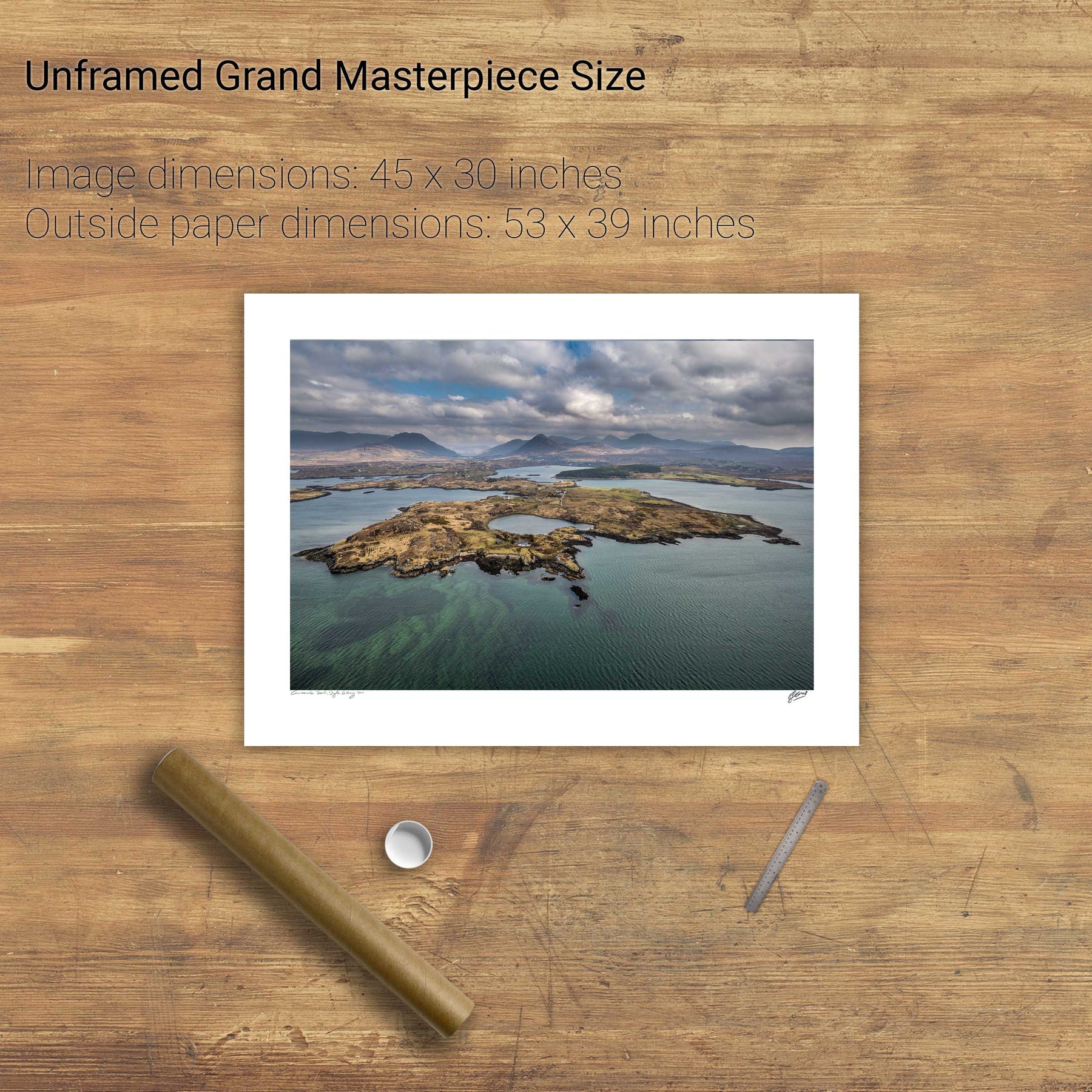
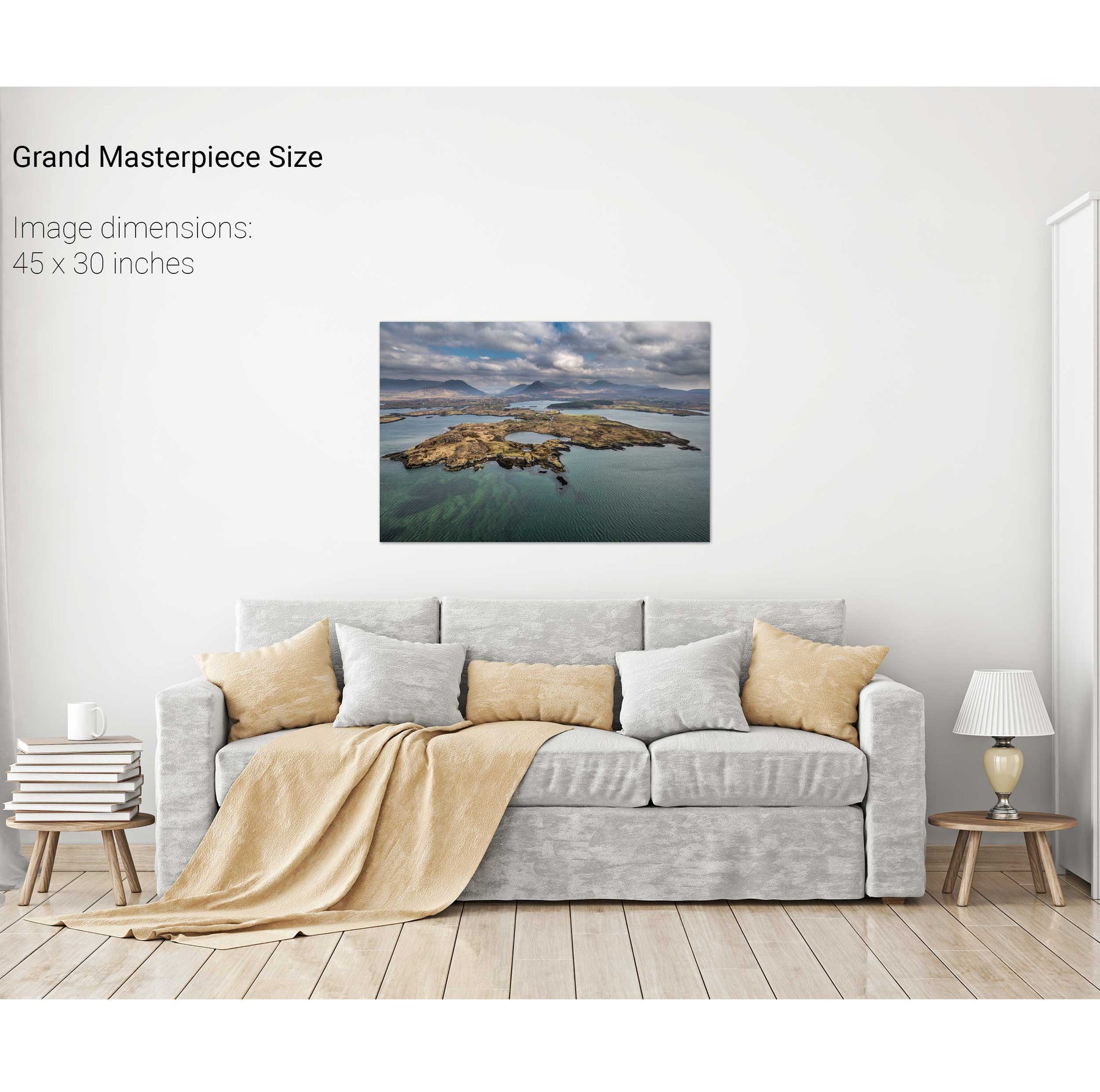
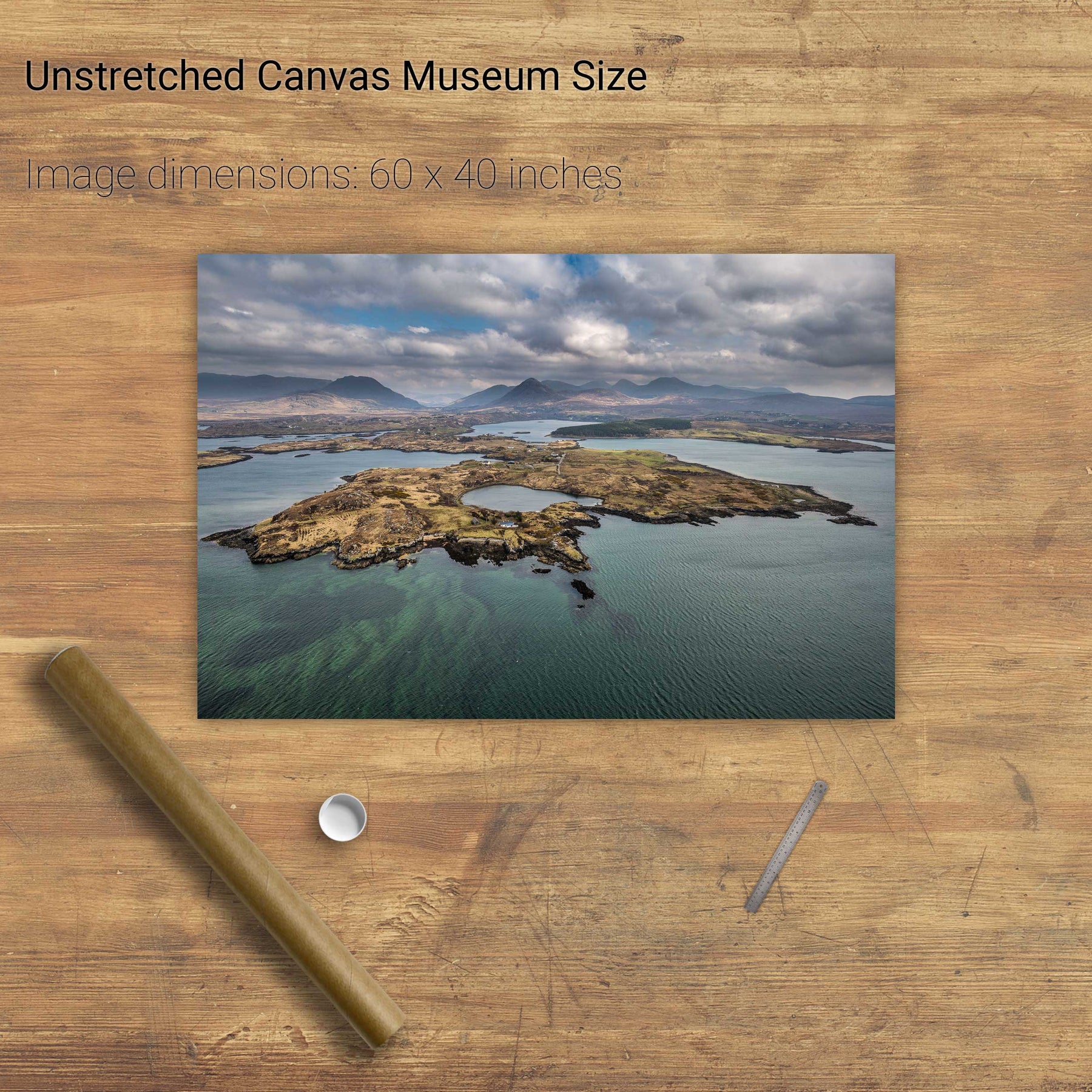
Ballynakill Harbour, Co. Galway
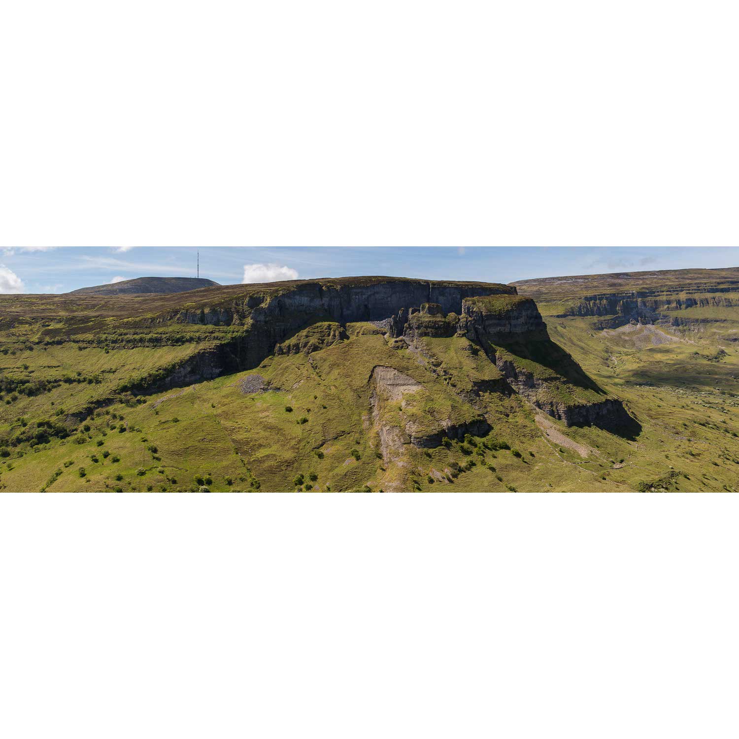
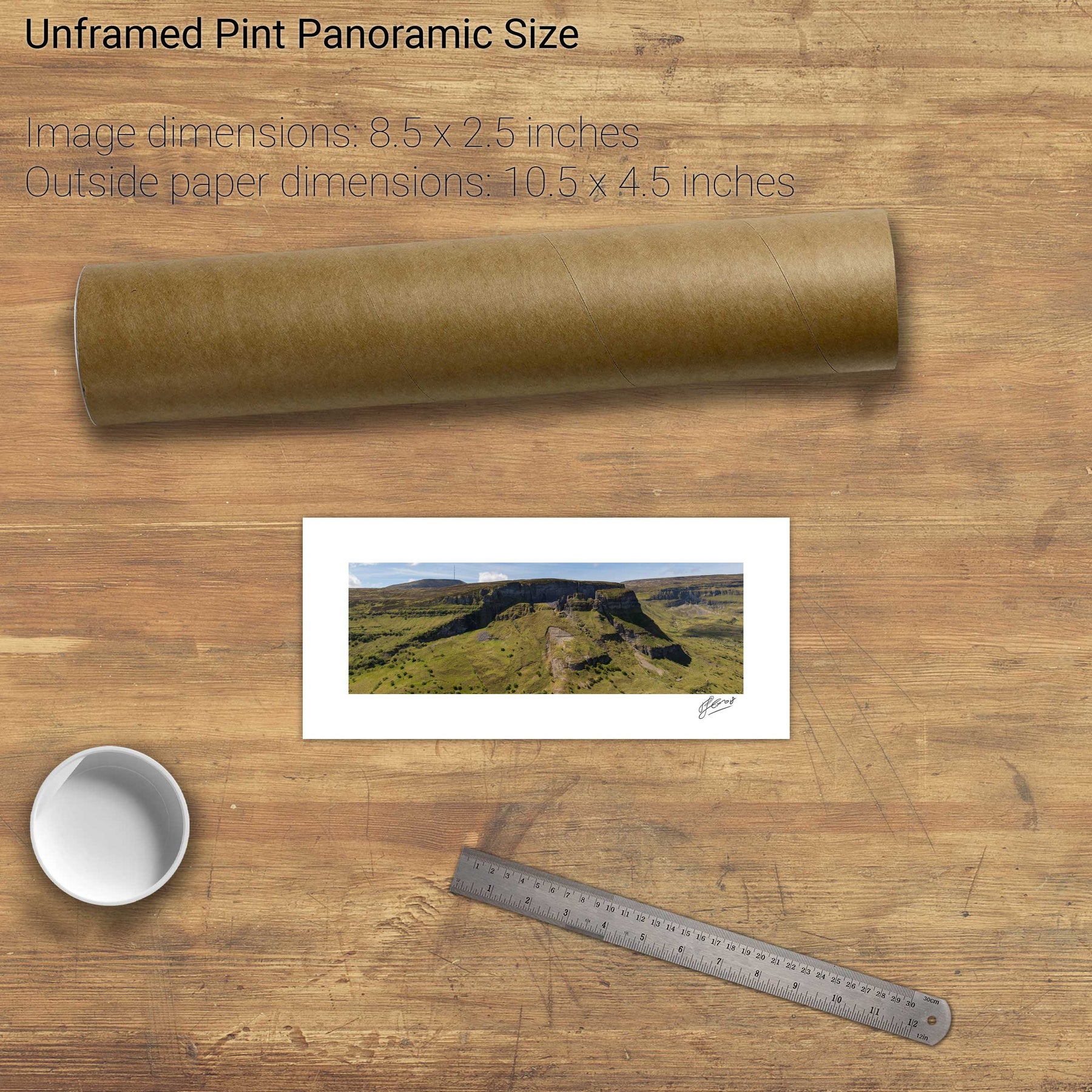
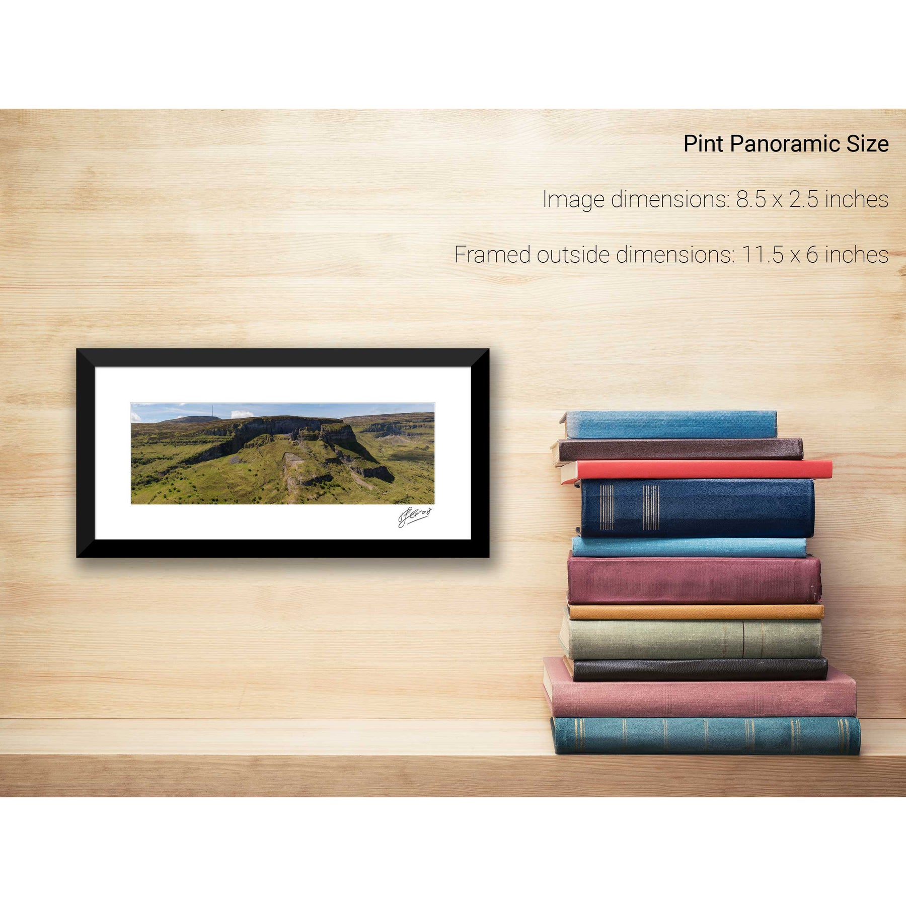
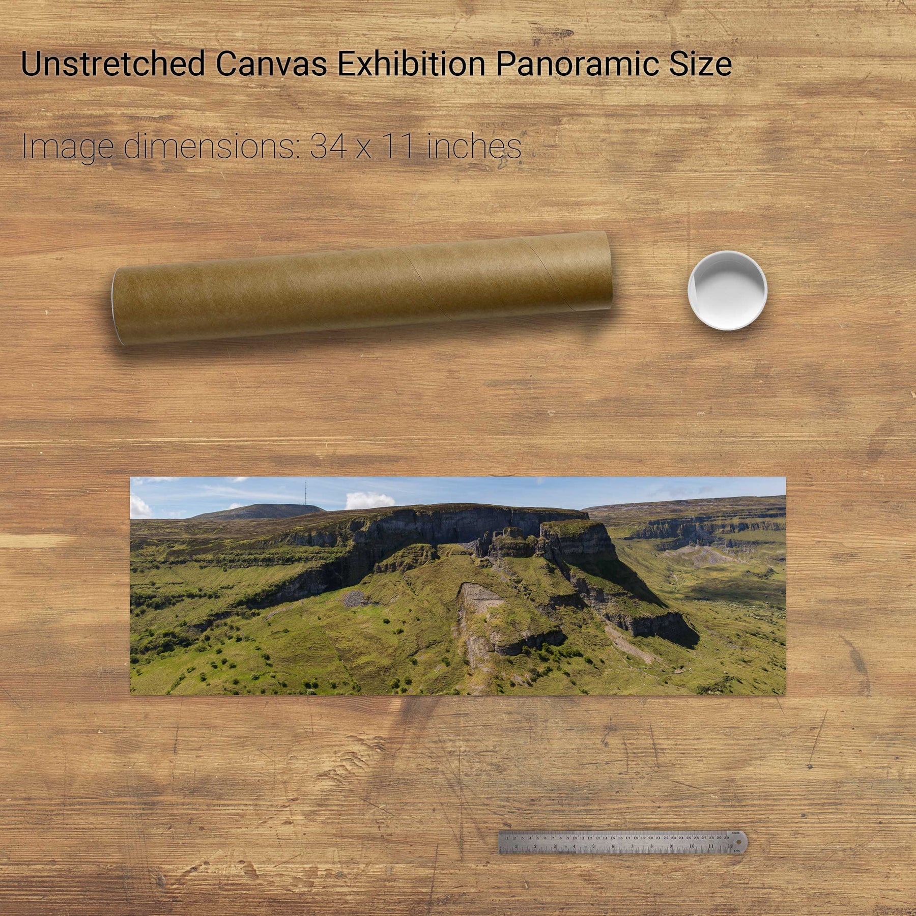
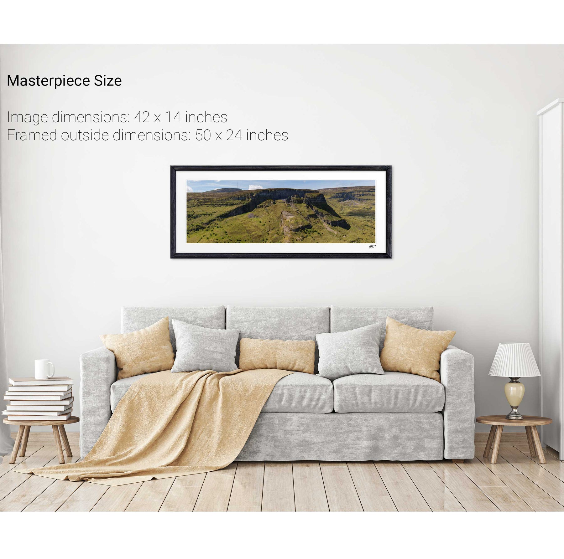
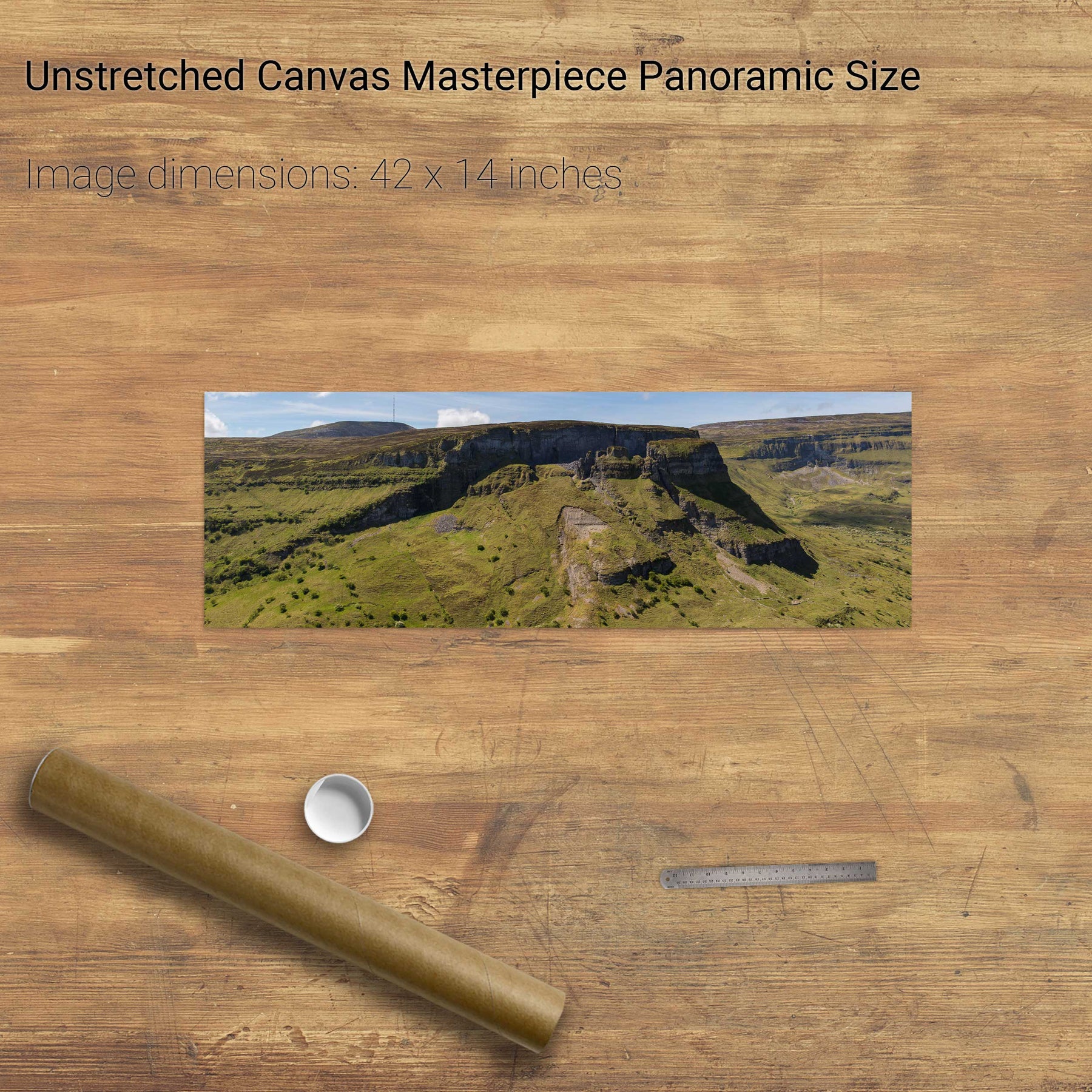
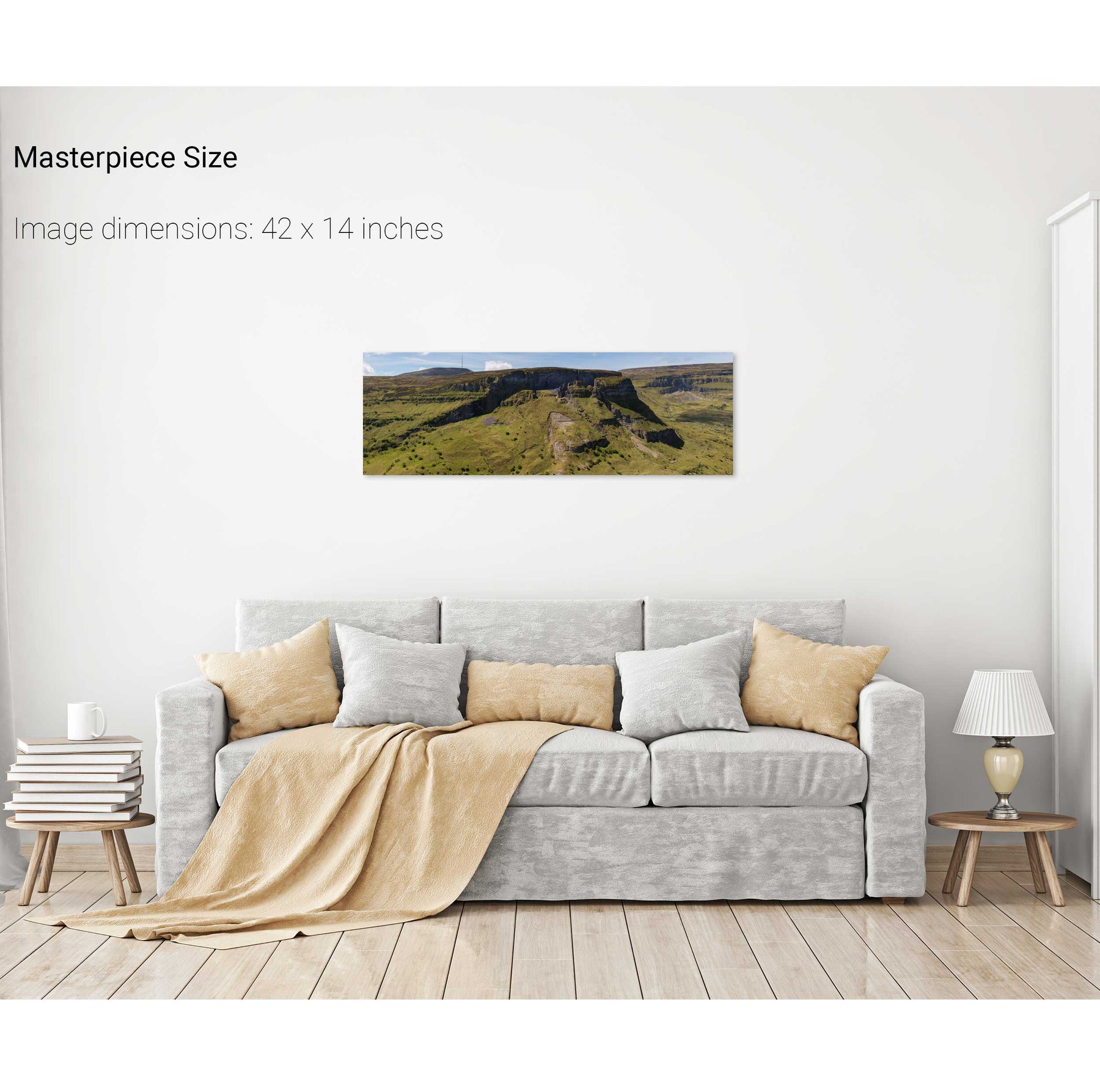
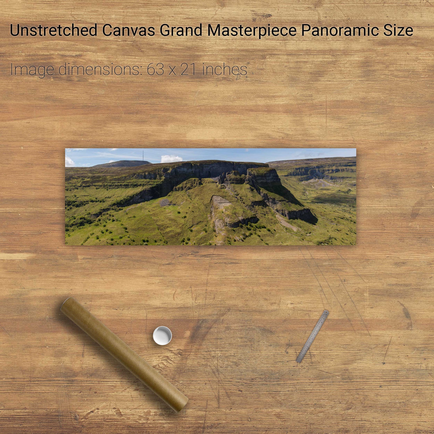
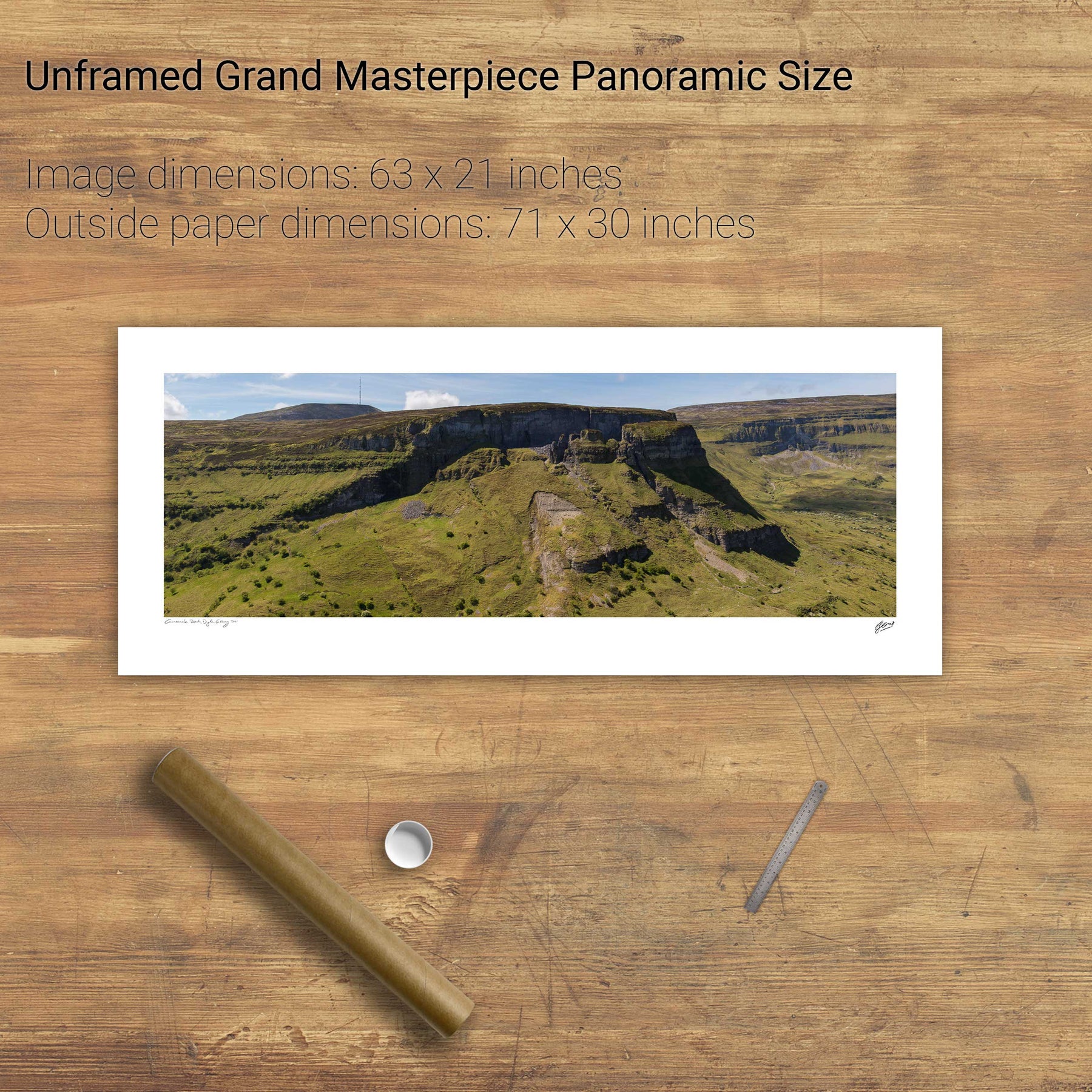
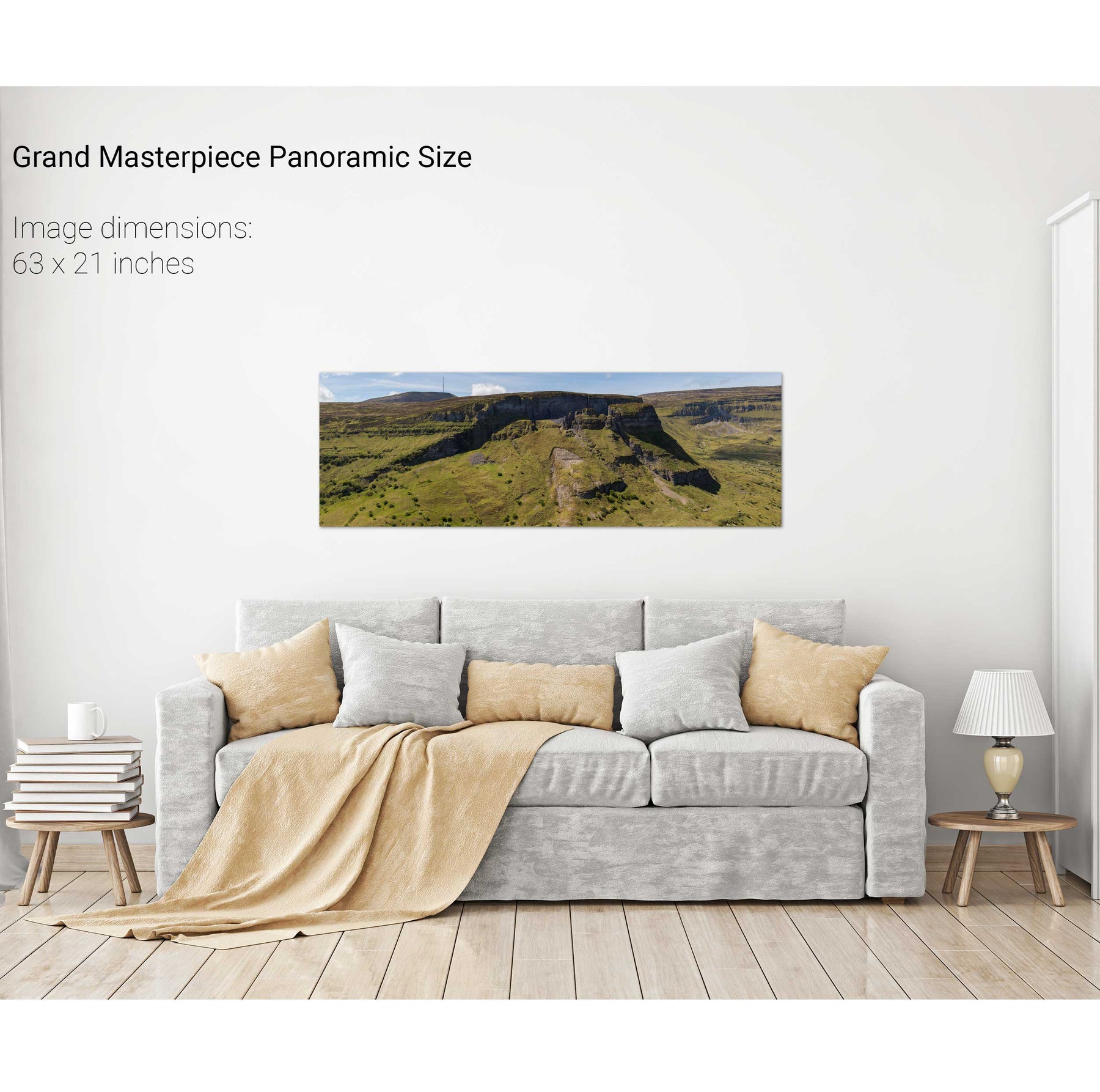
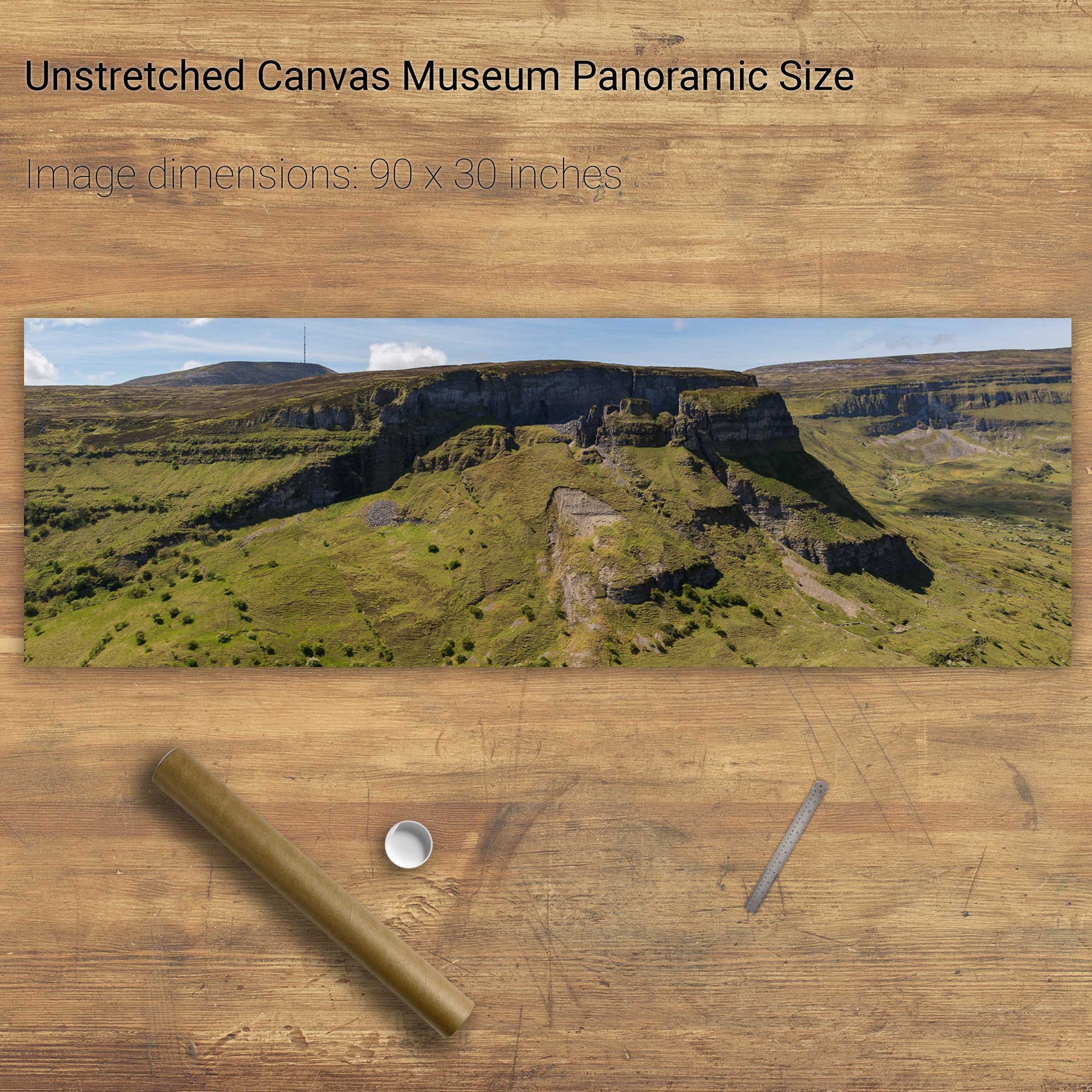
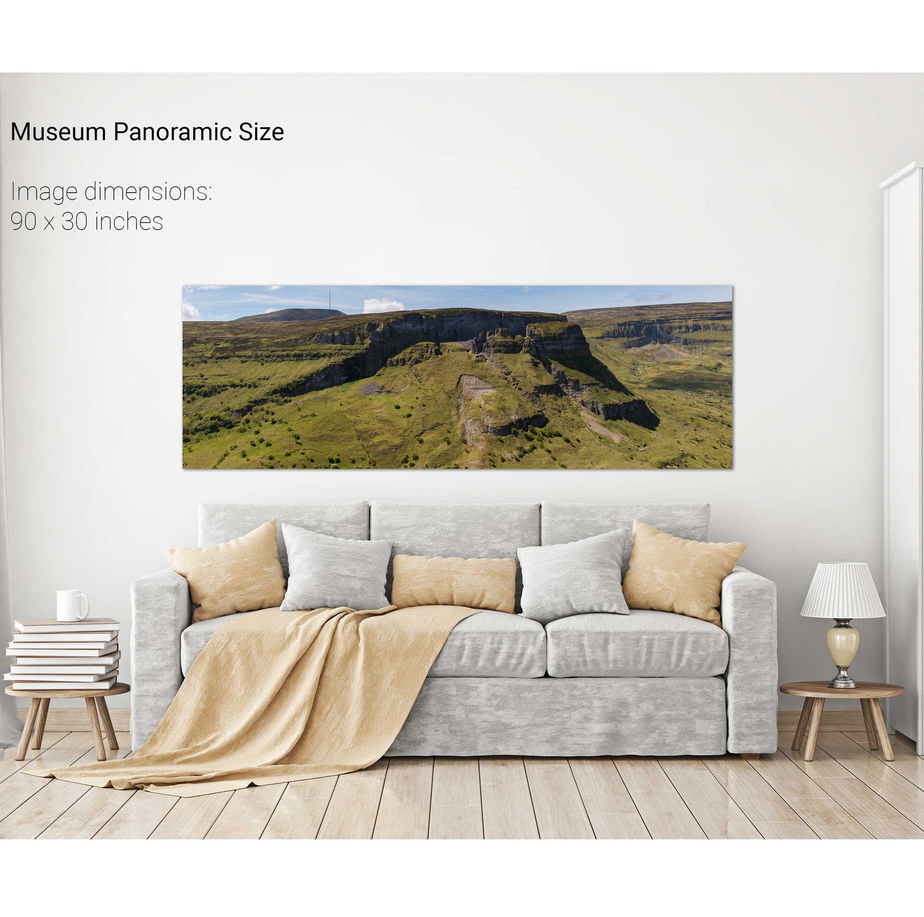
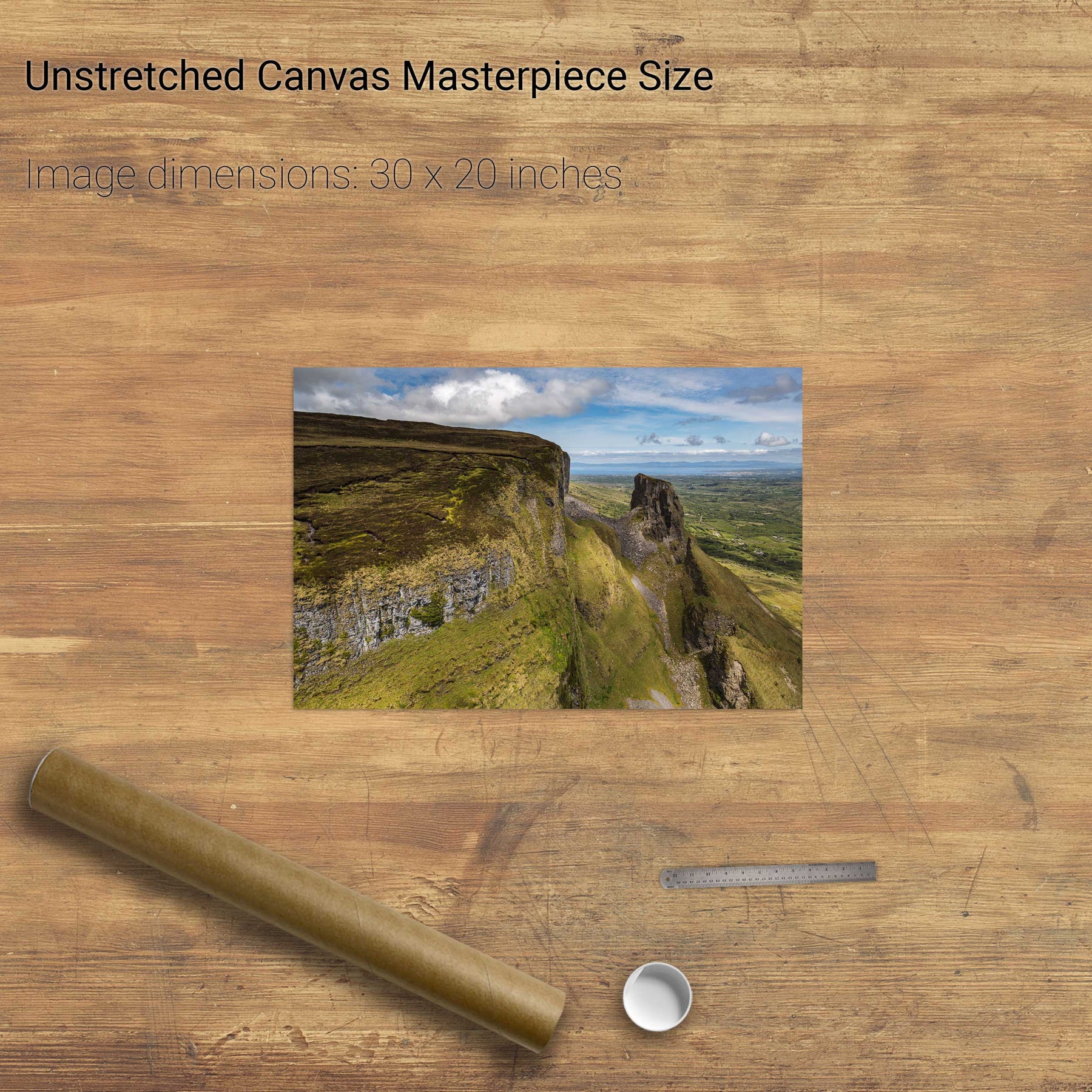
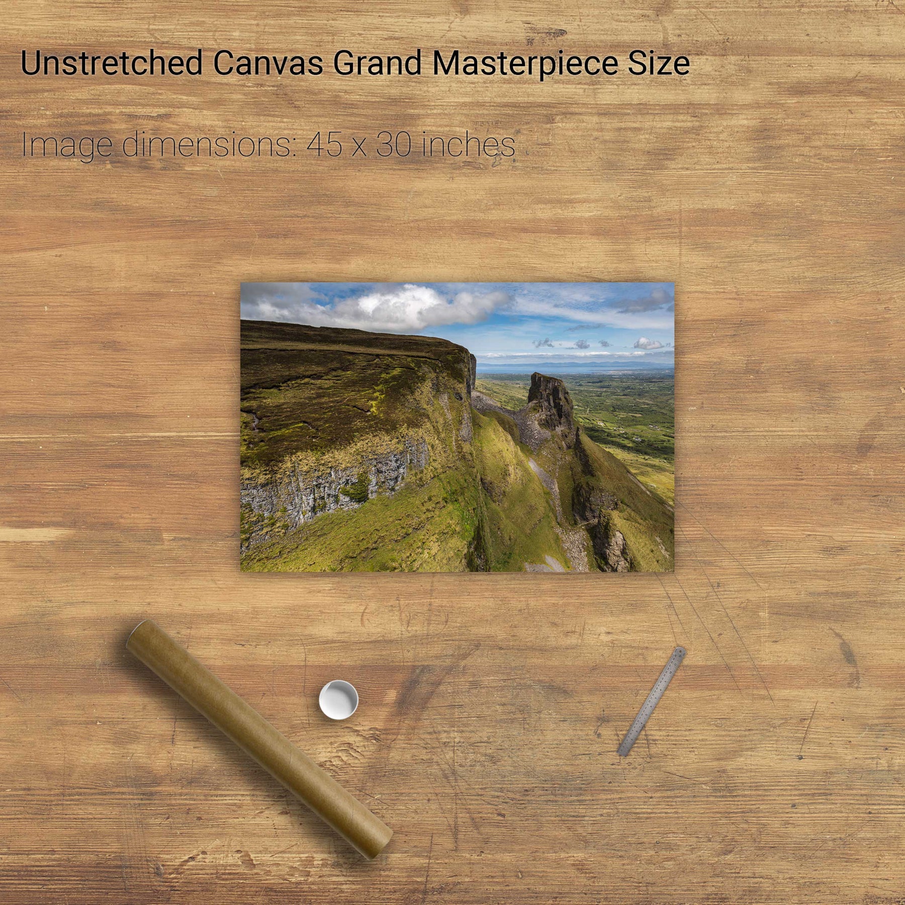
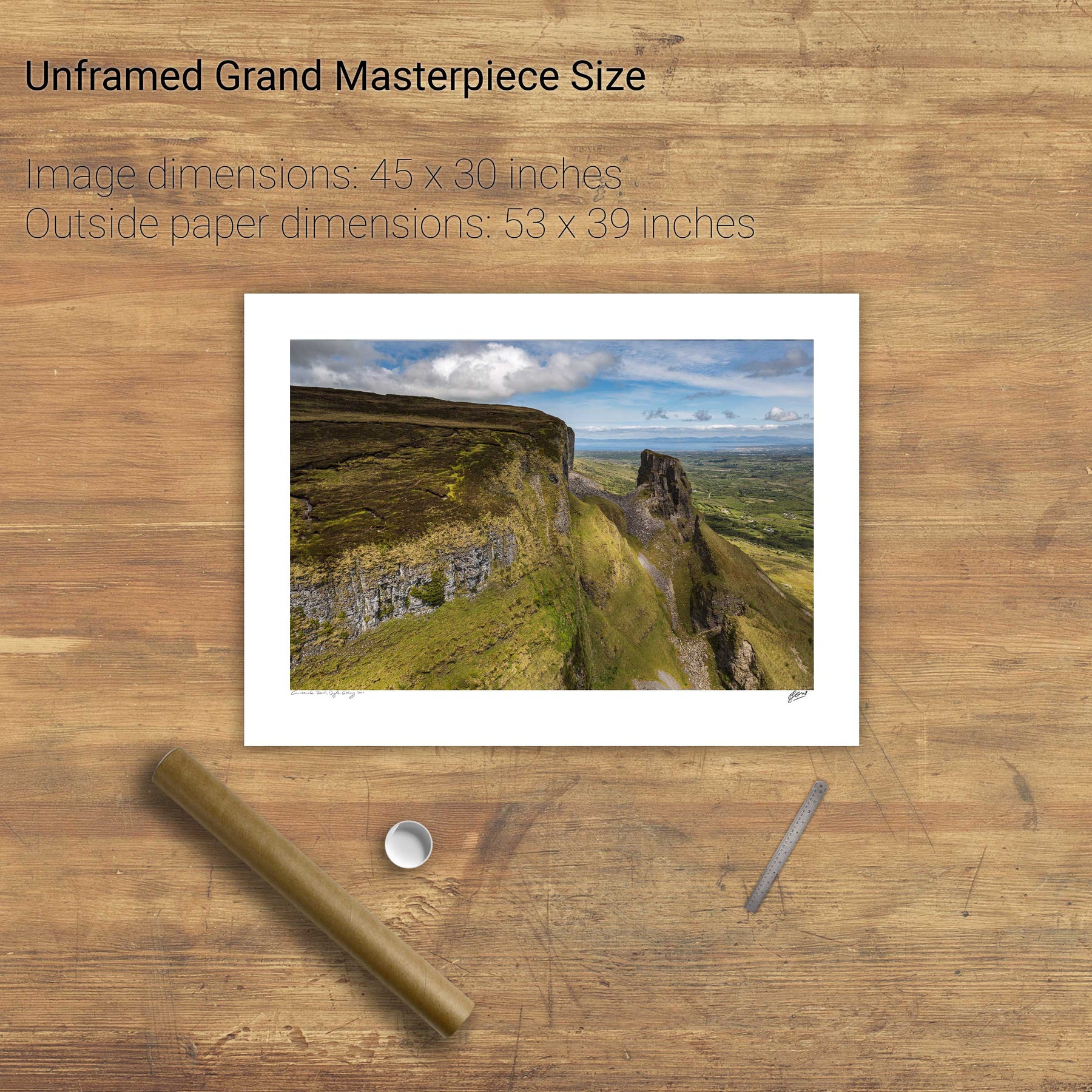
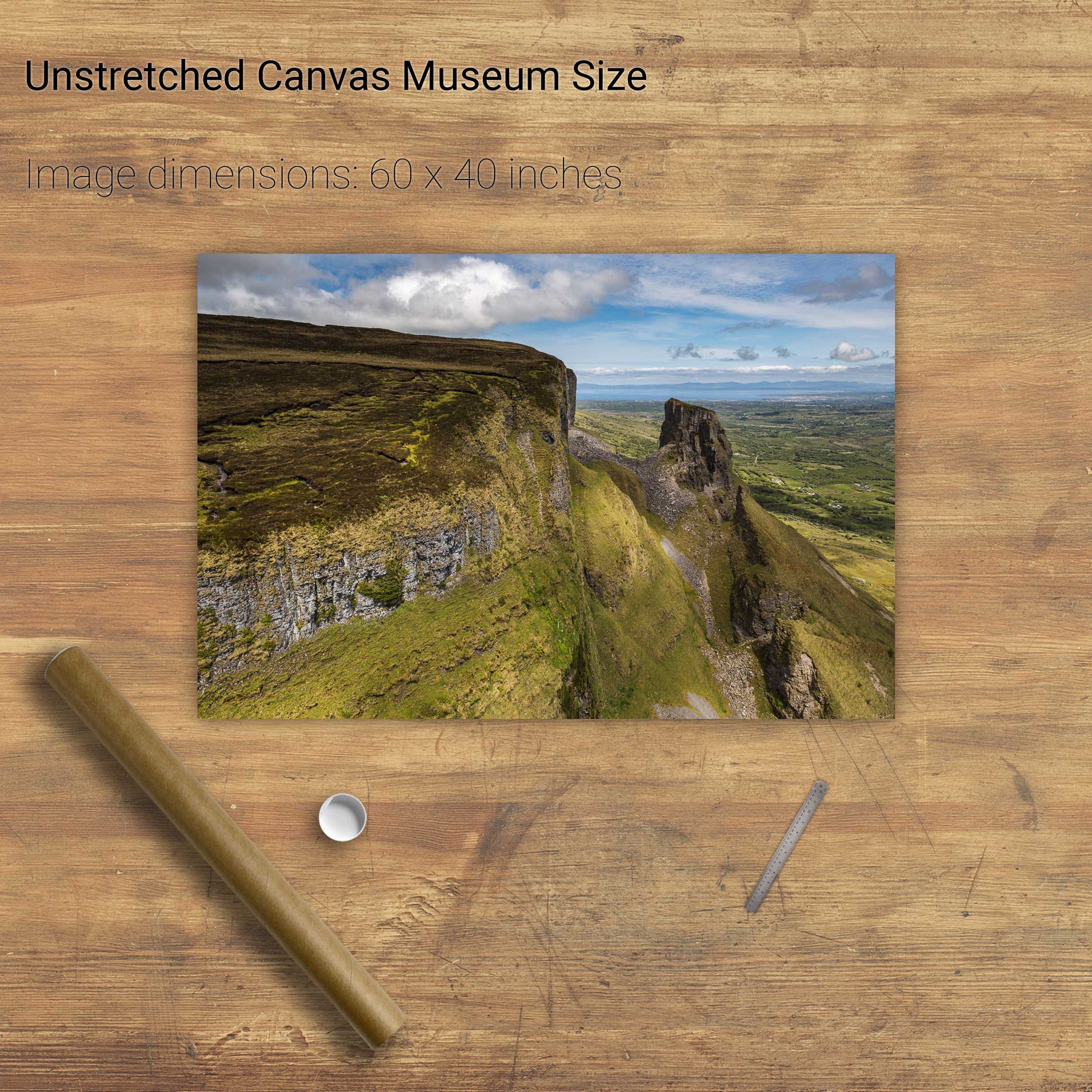
Eagles' Rock Panoramic, Co. Leitrim
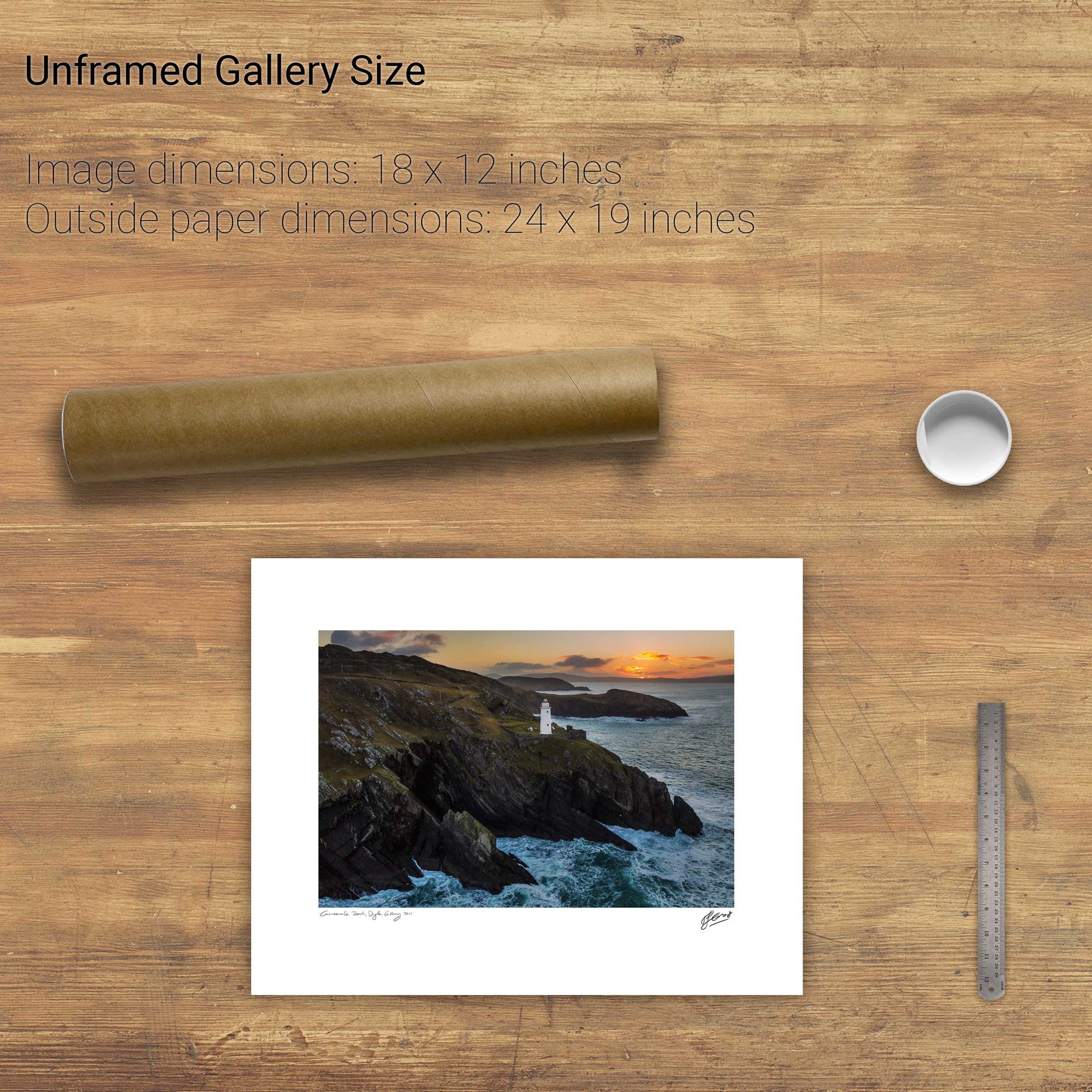
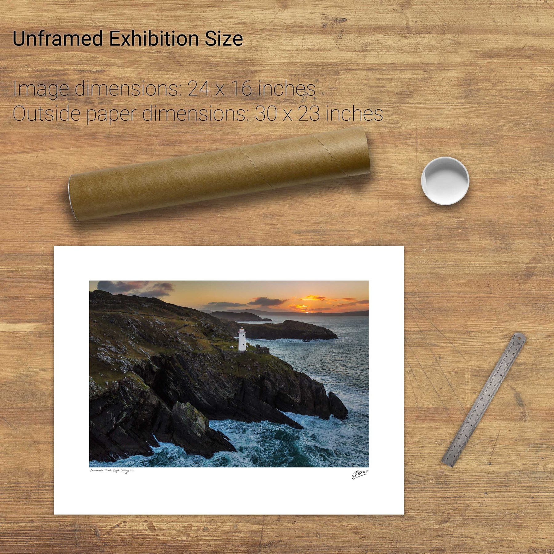
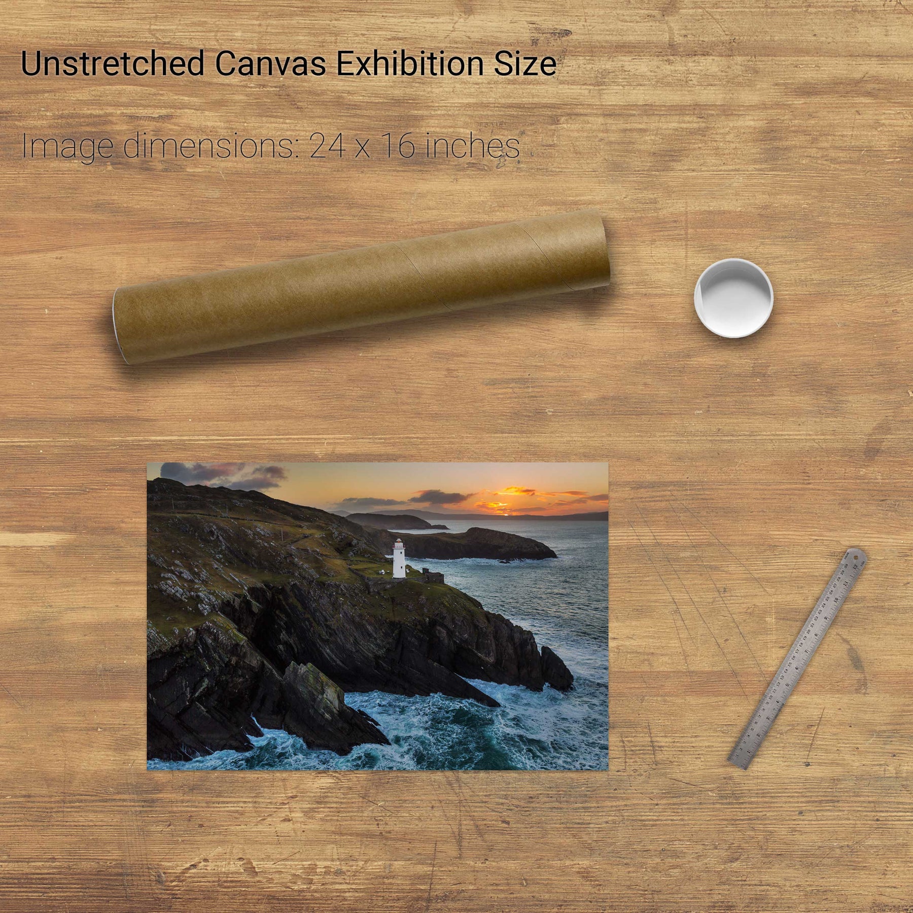
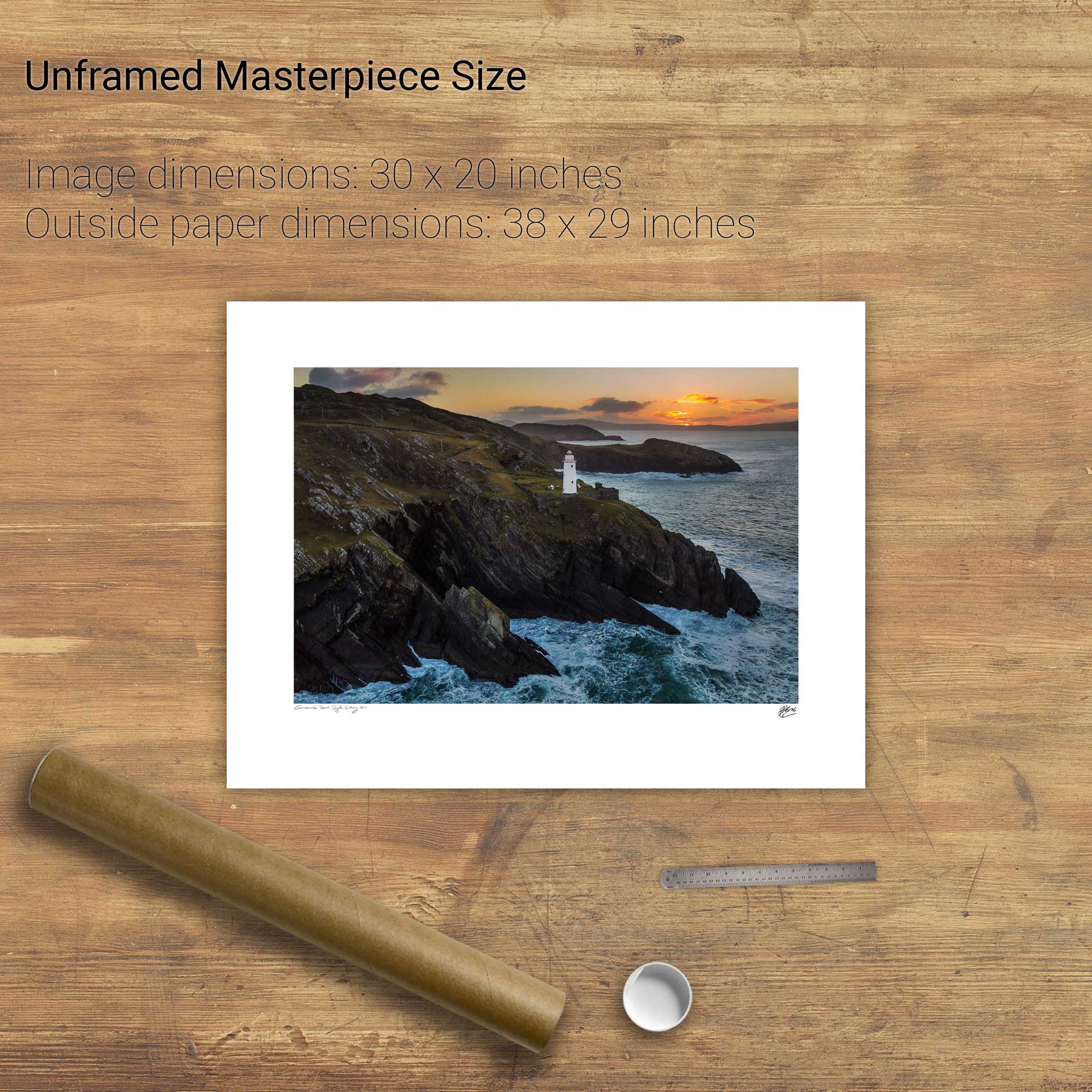
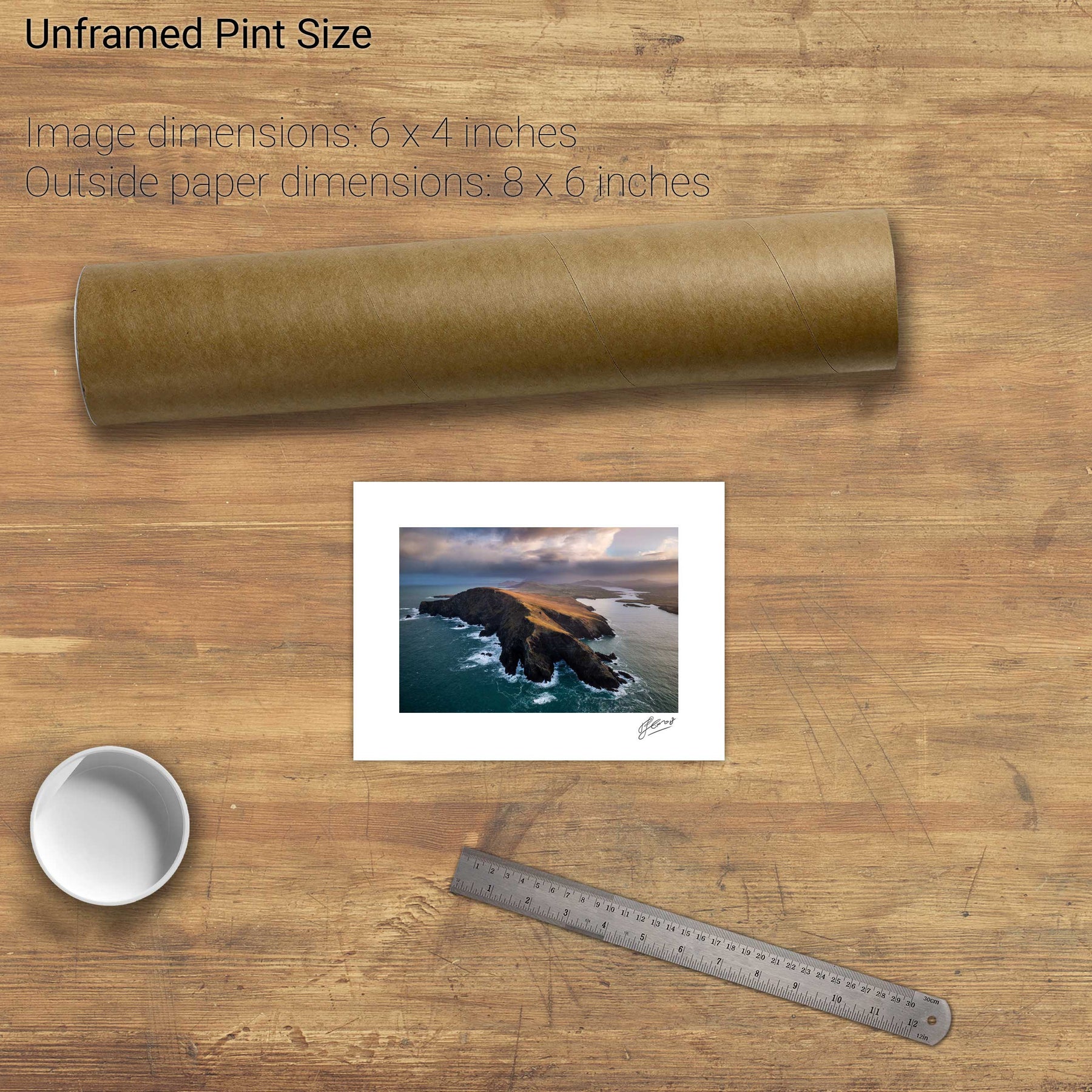
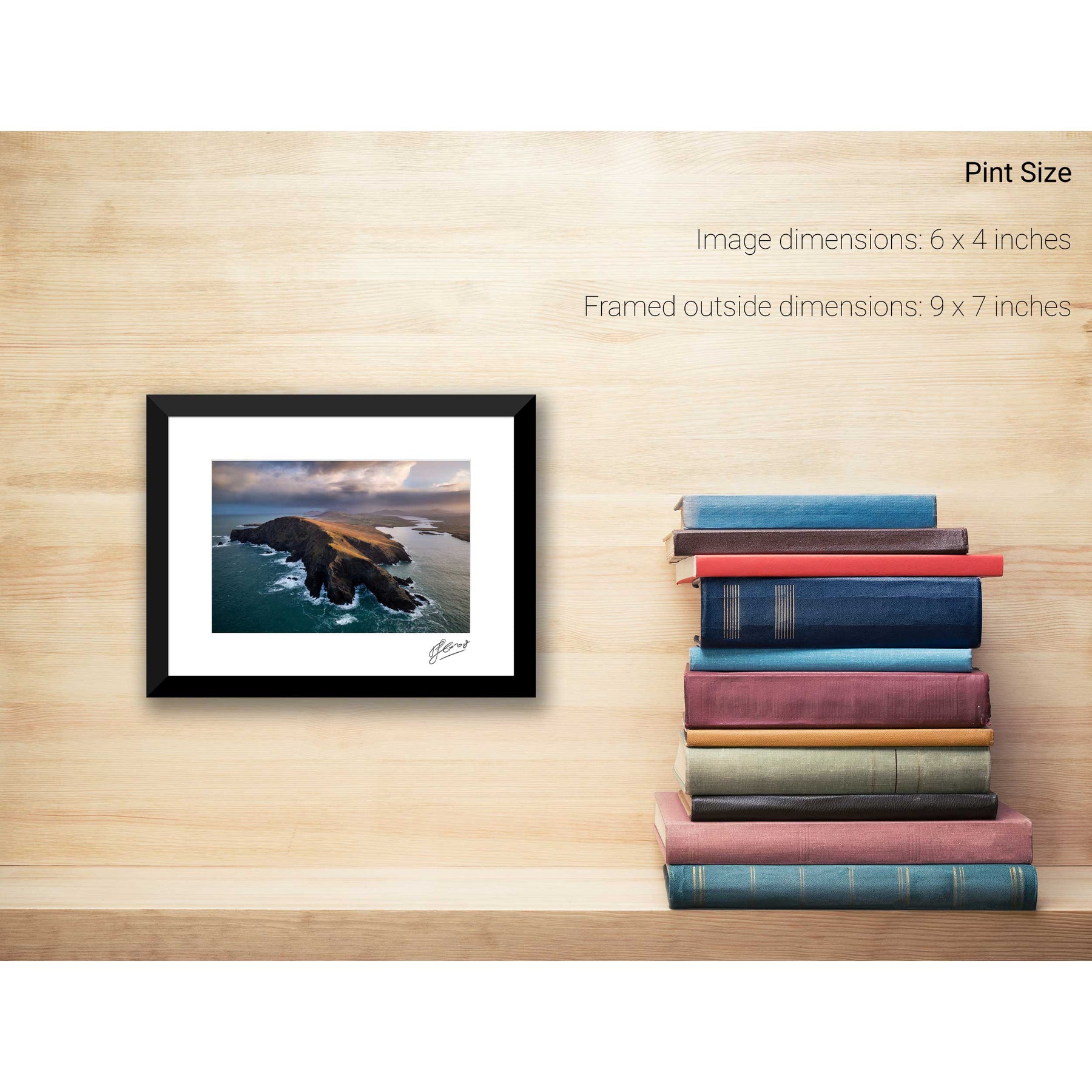
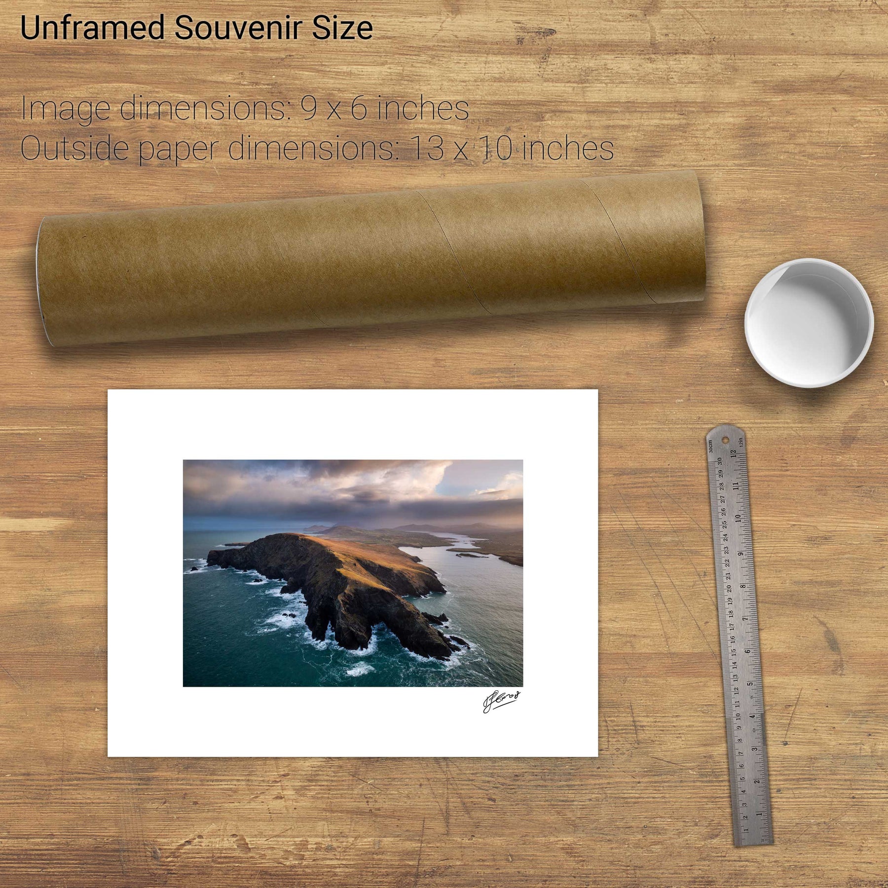
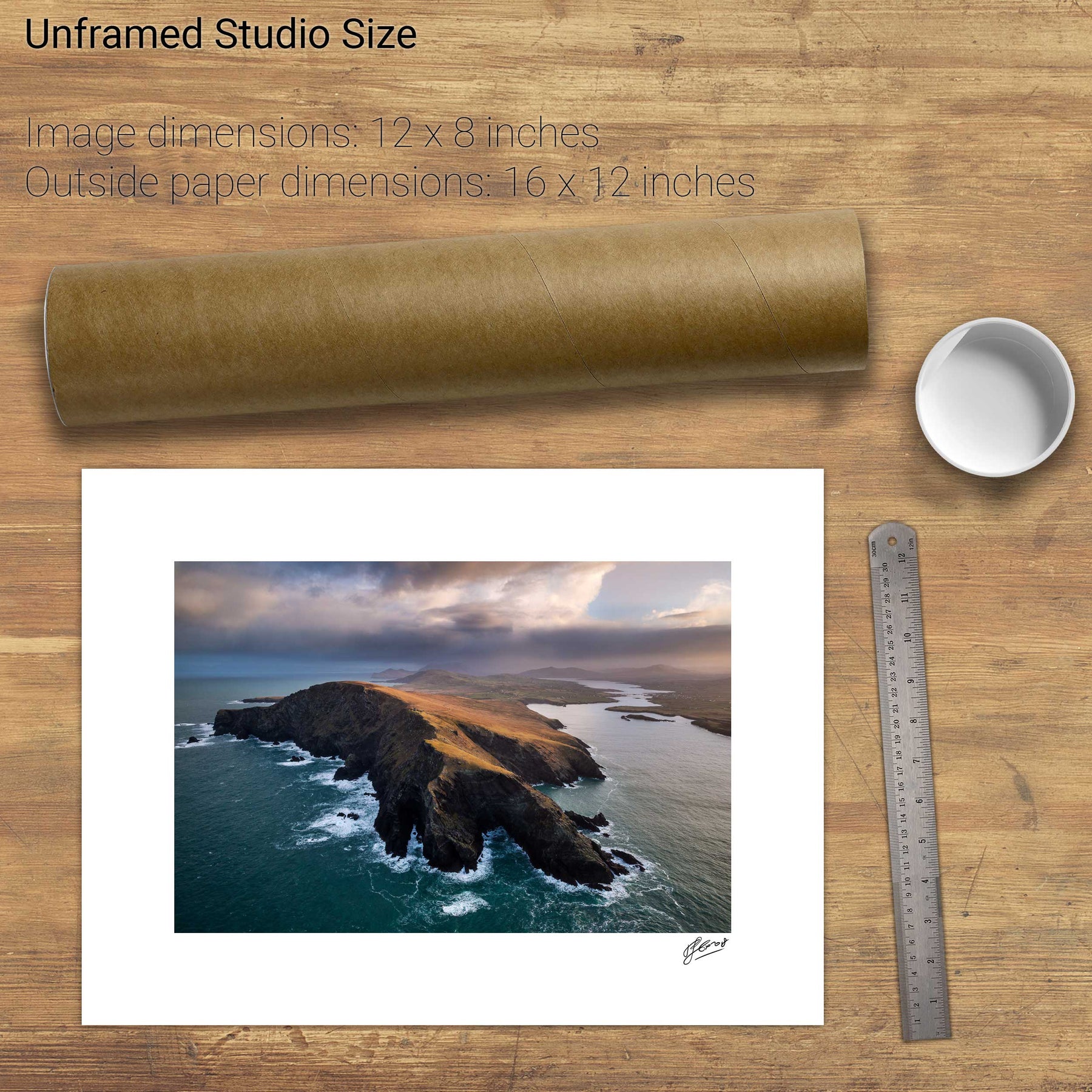
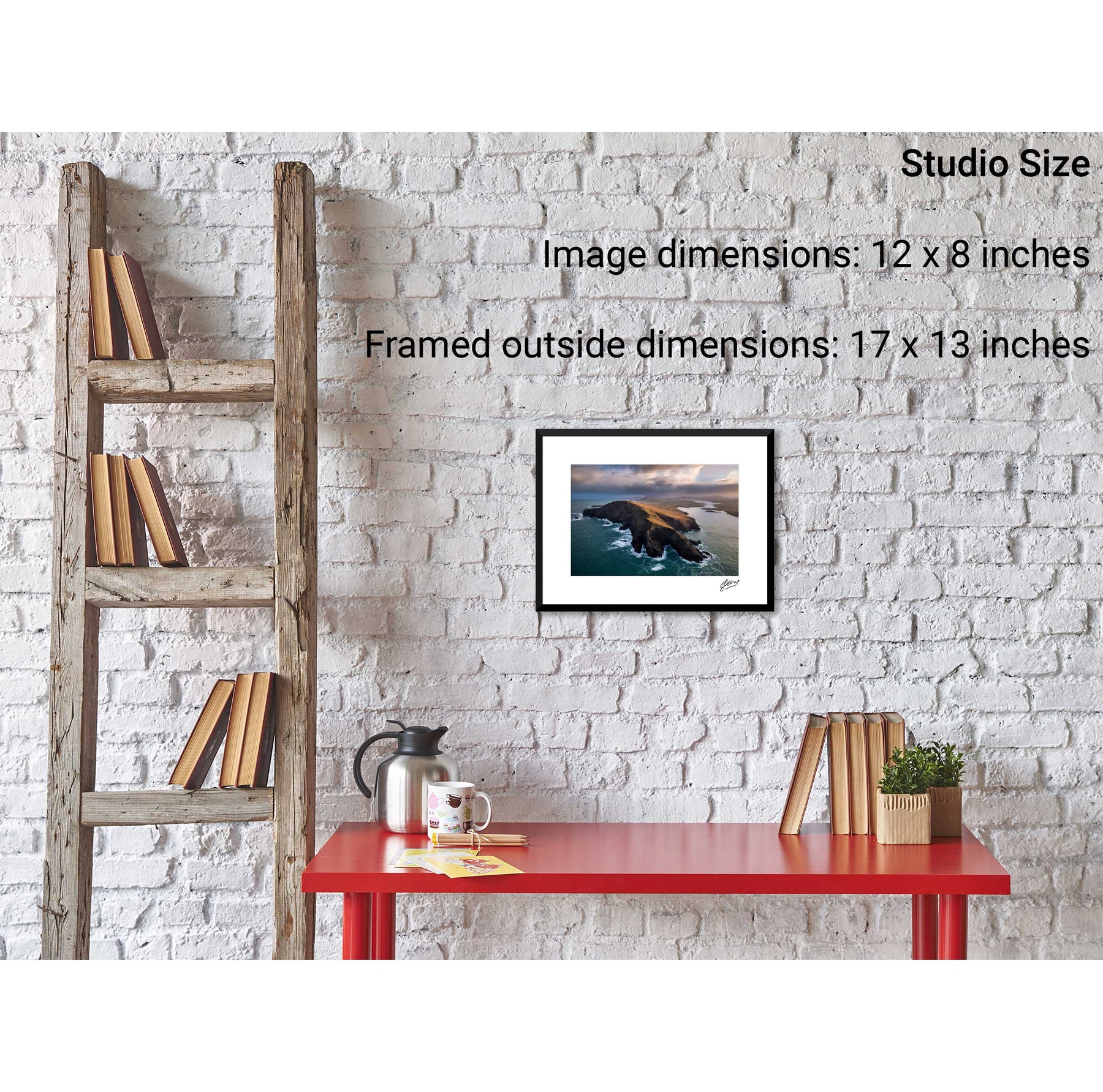
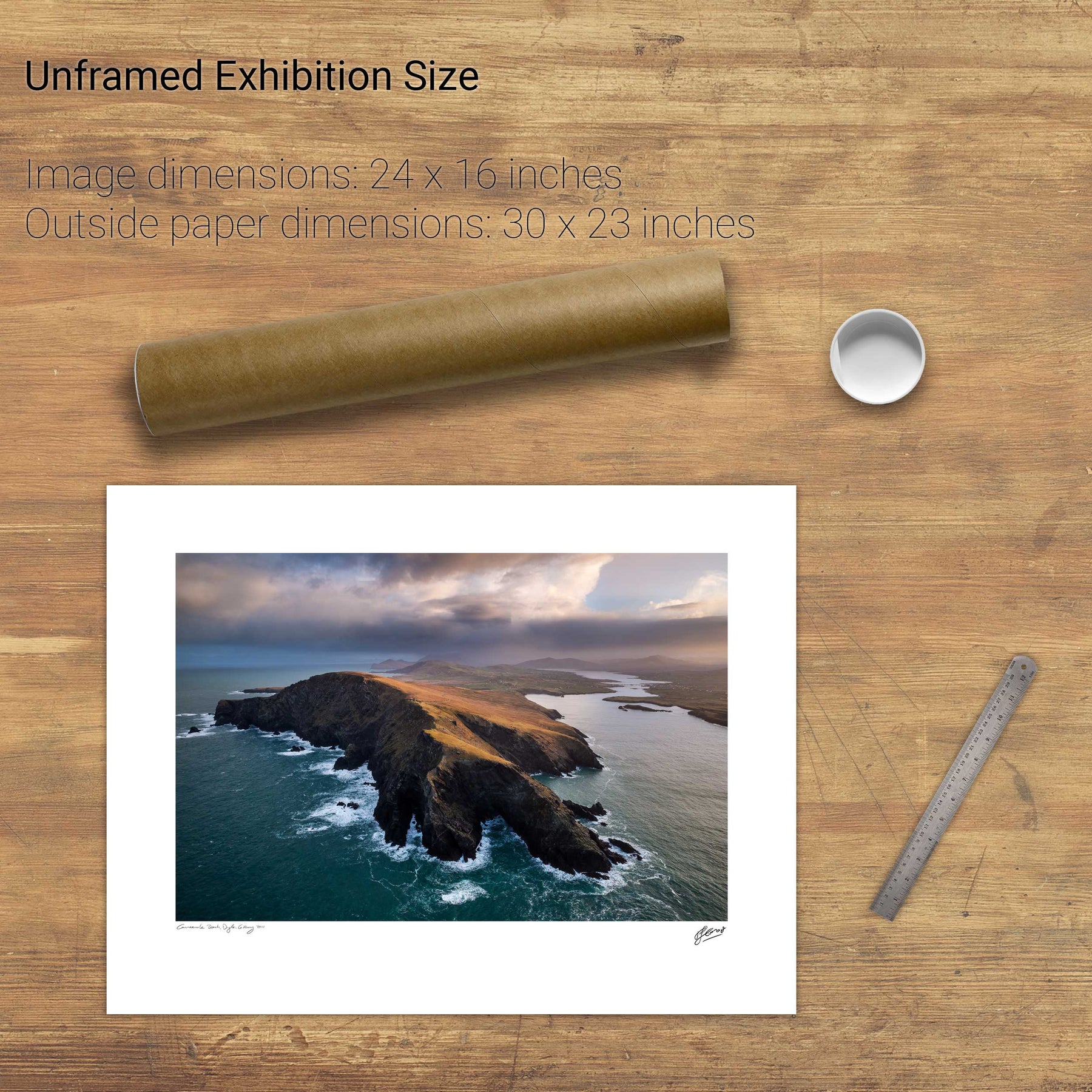
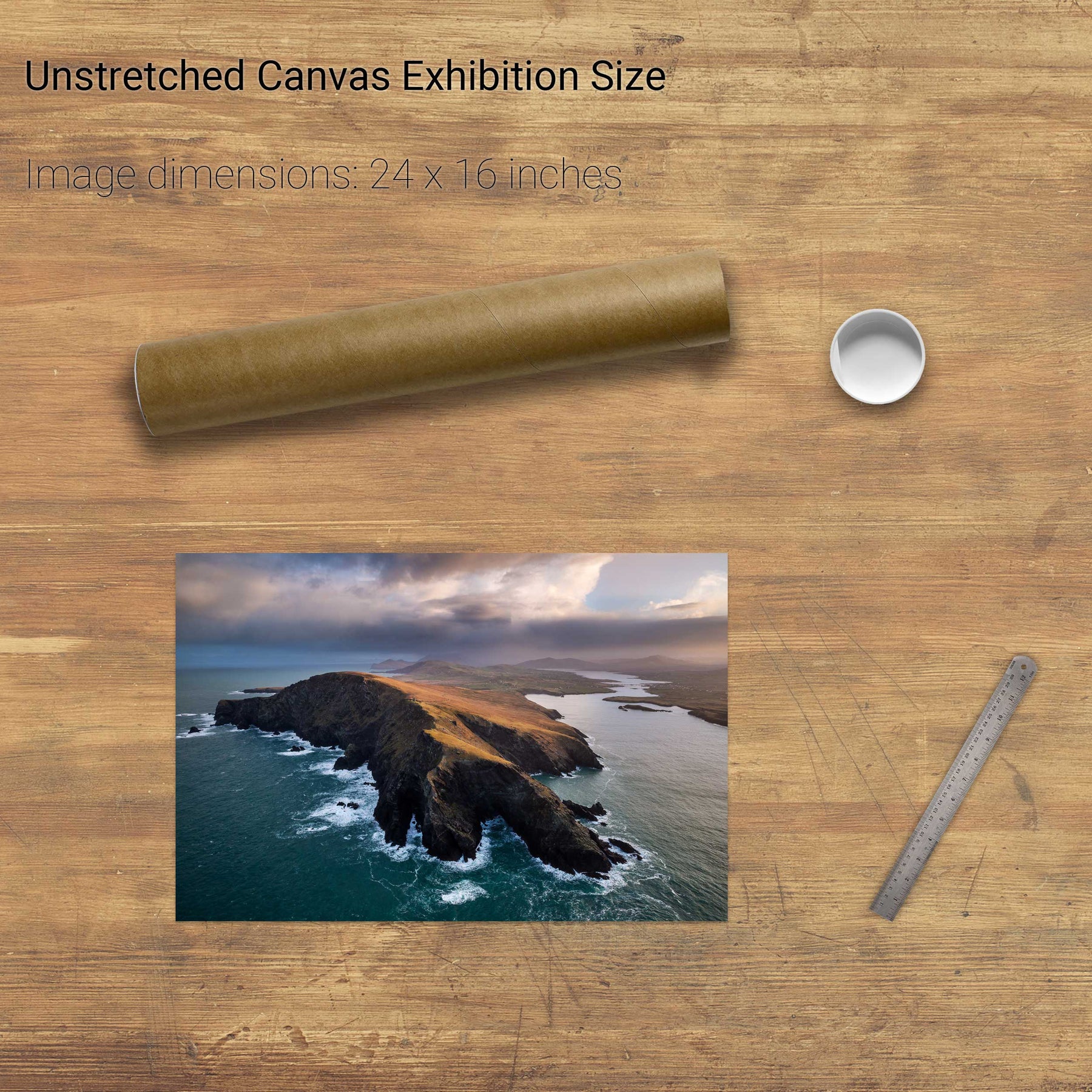
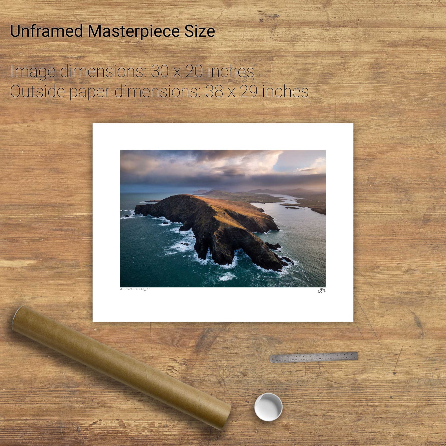
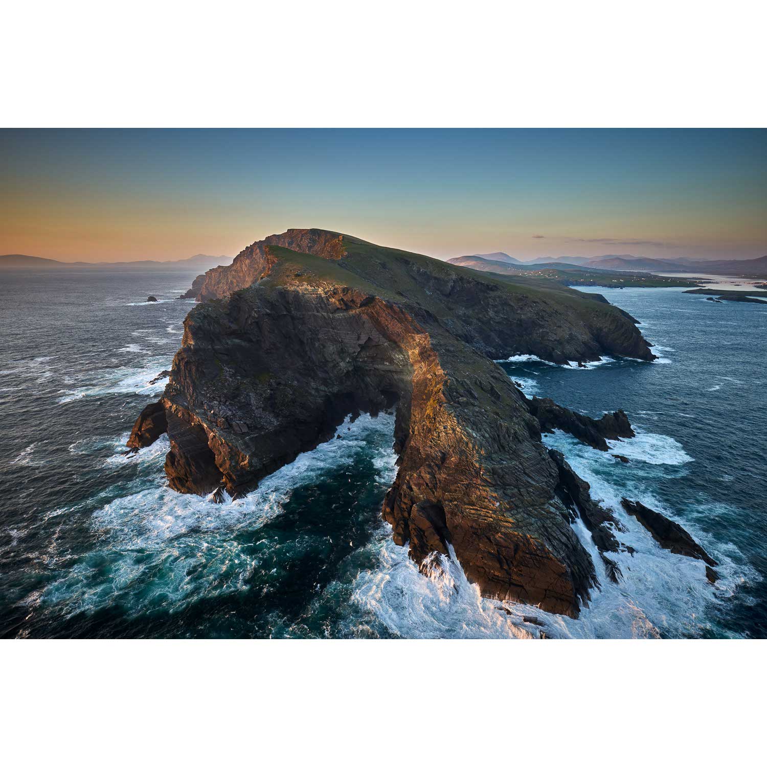
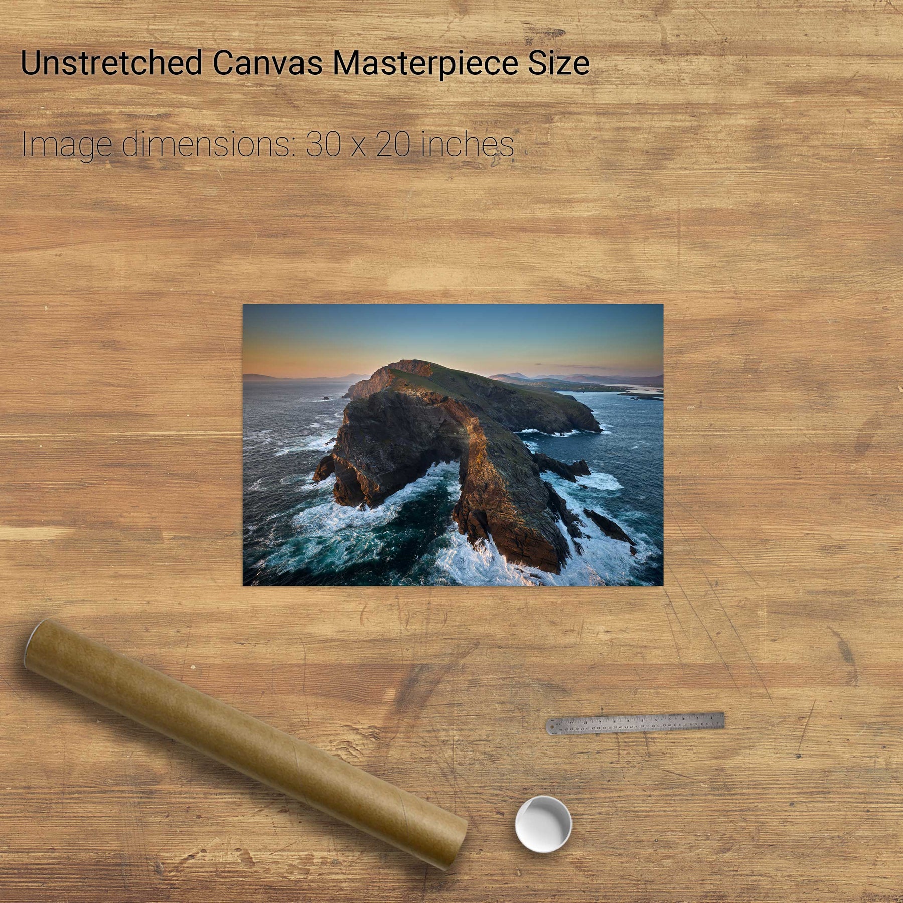
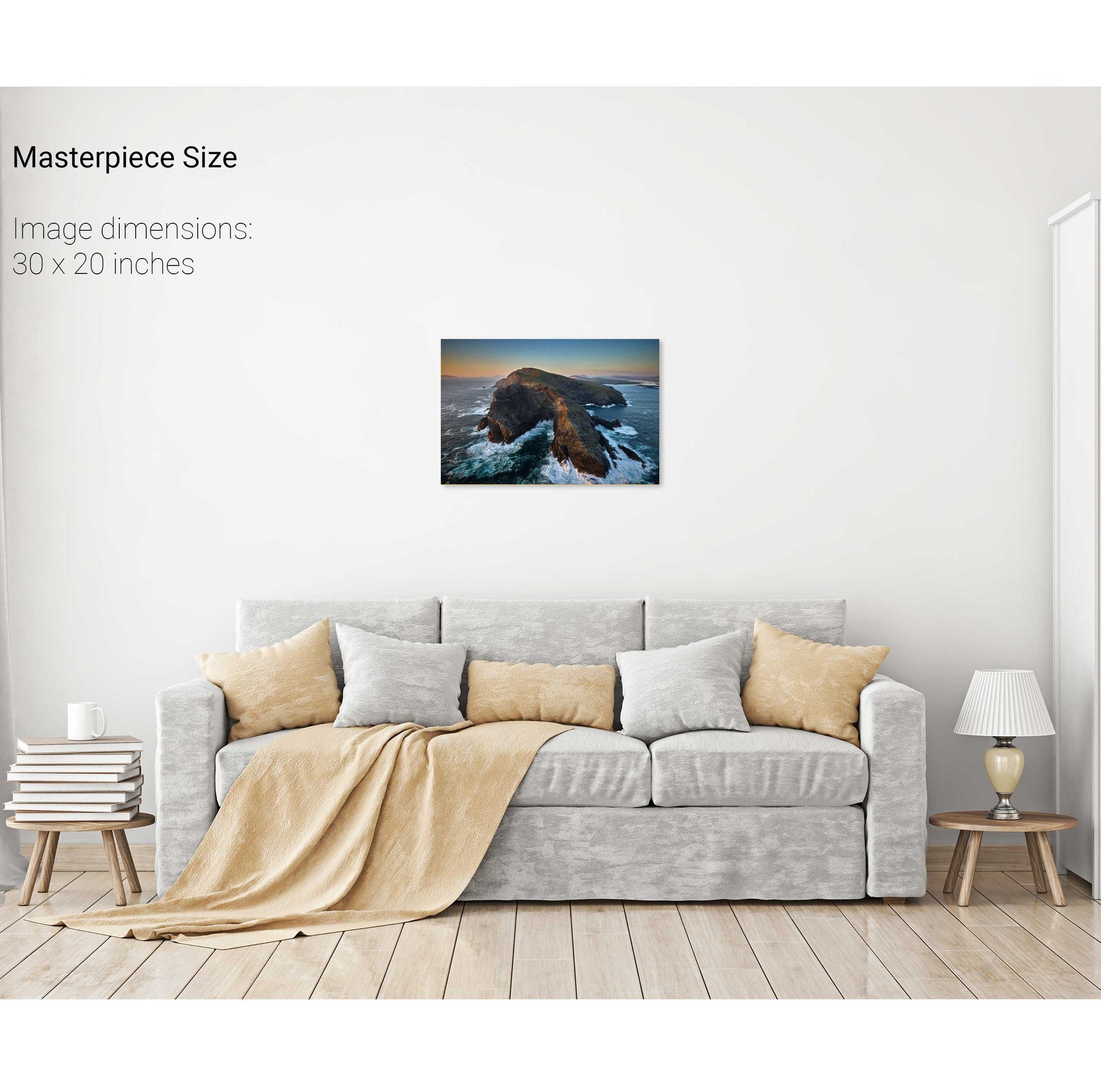
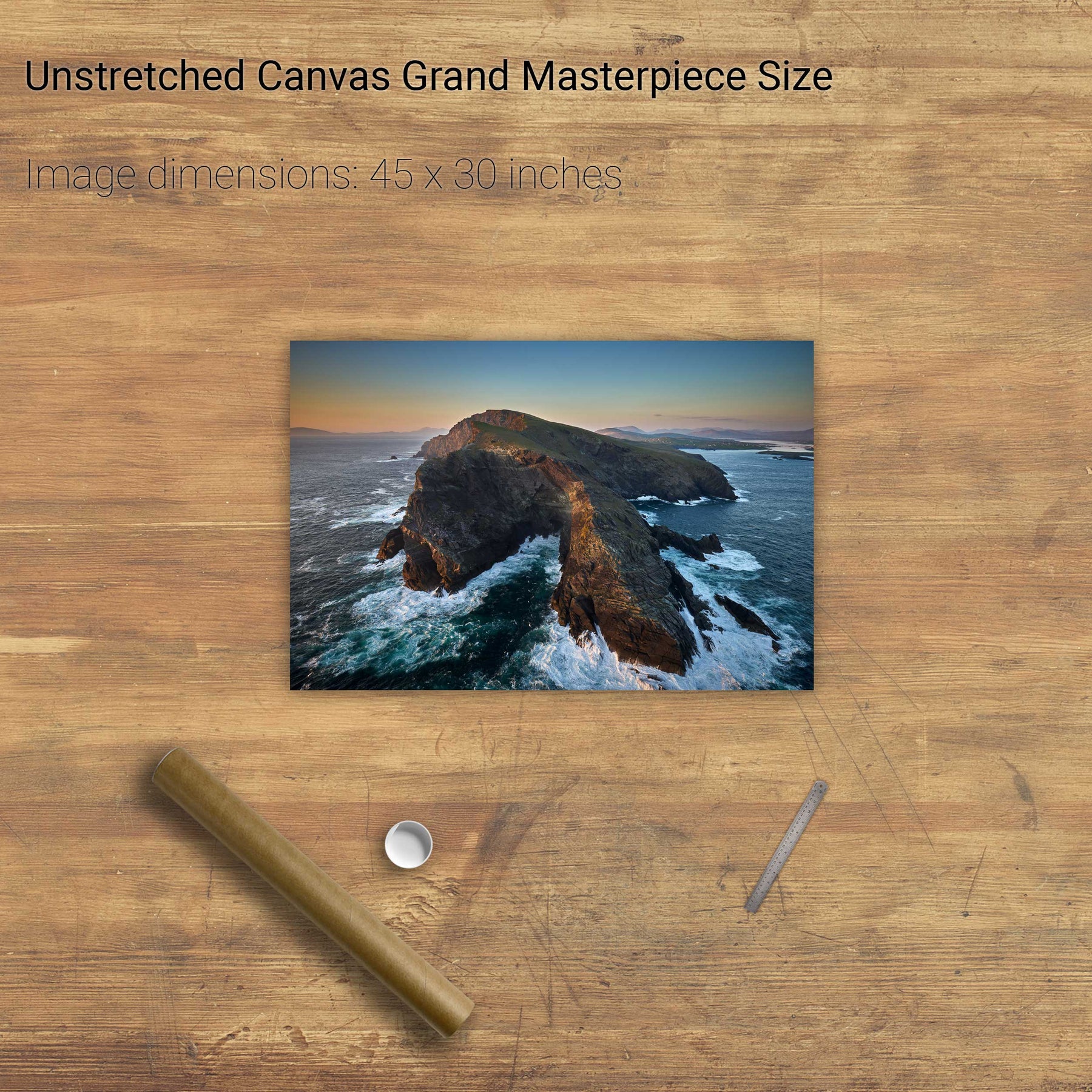
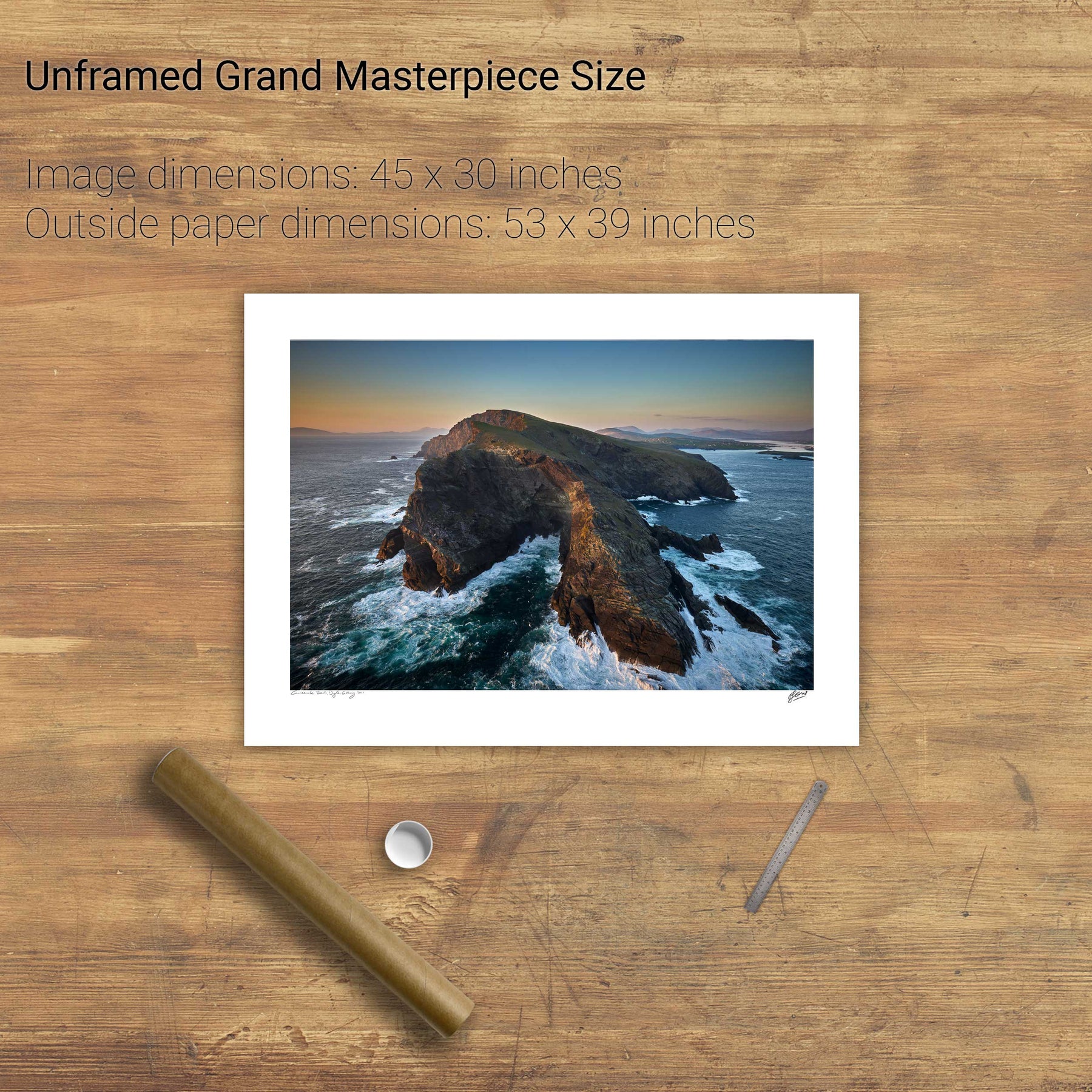
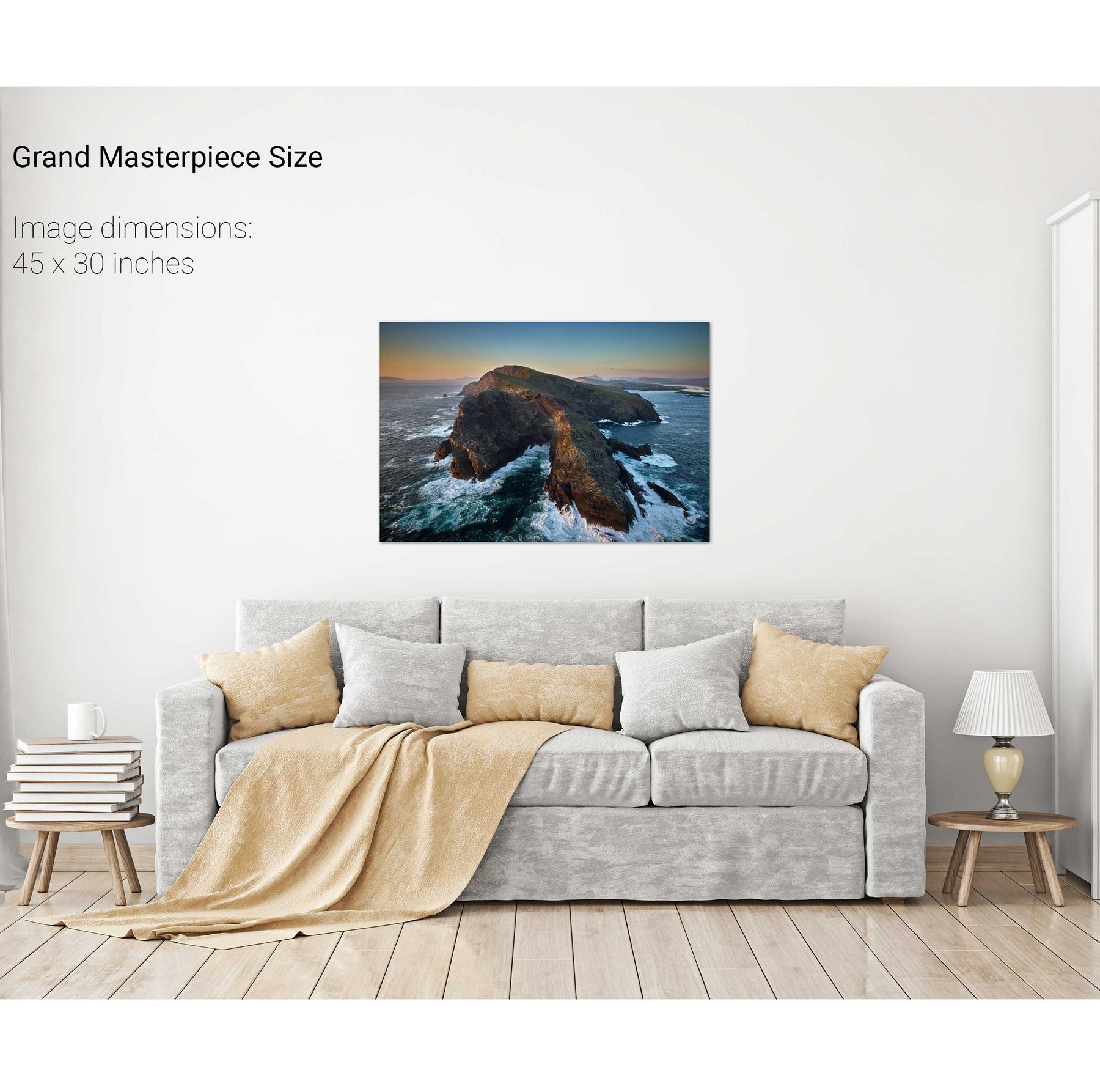
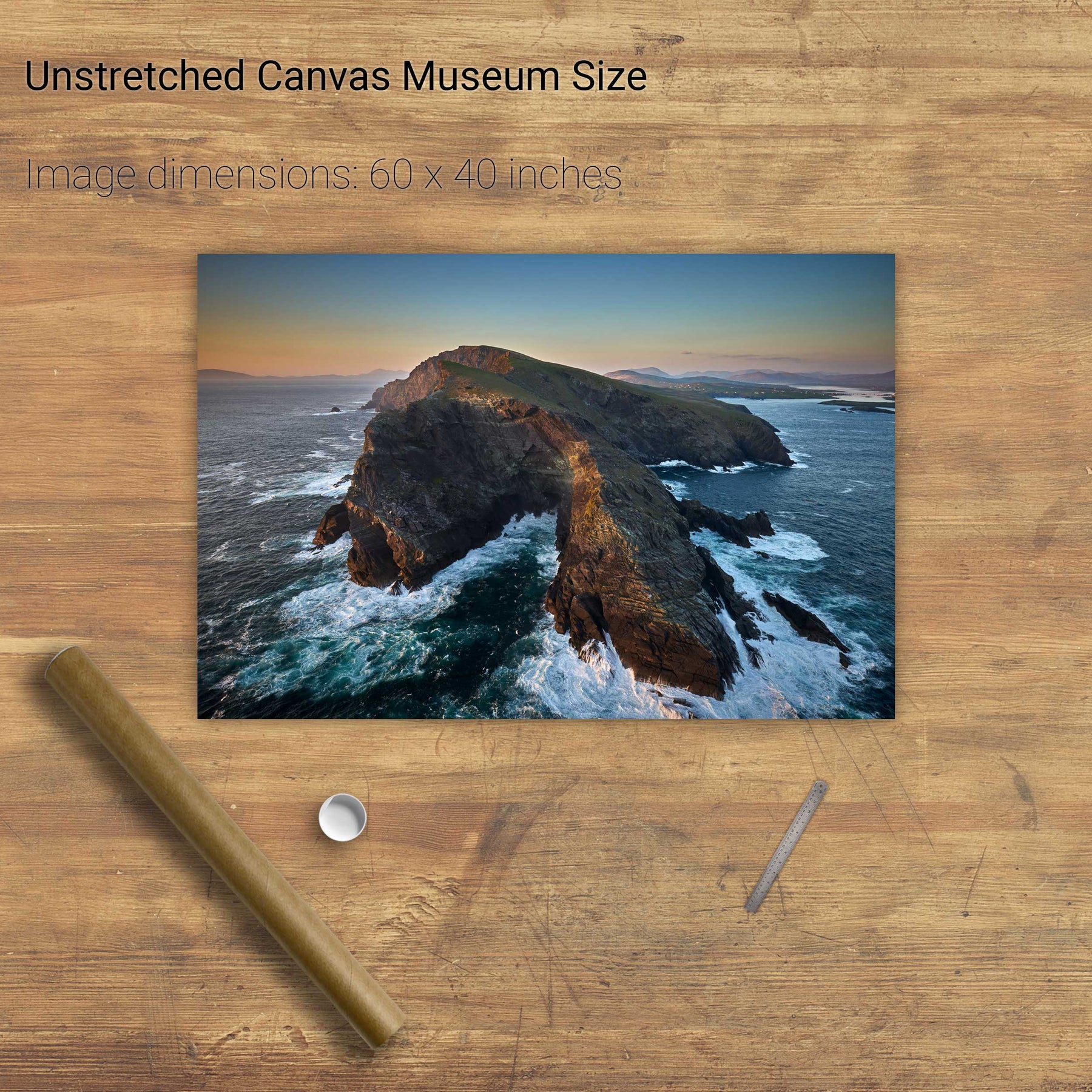
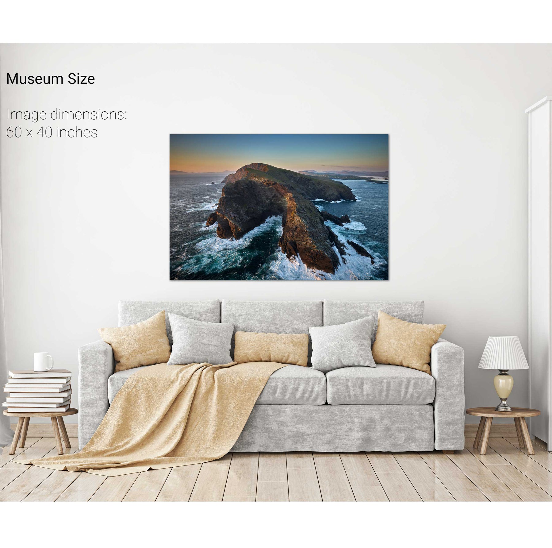
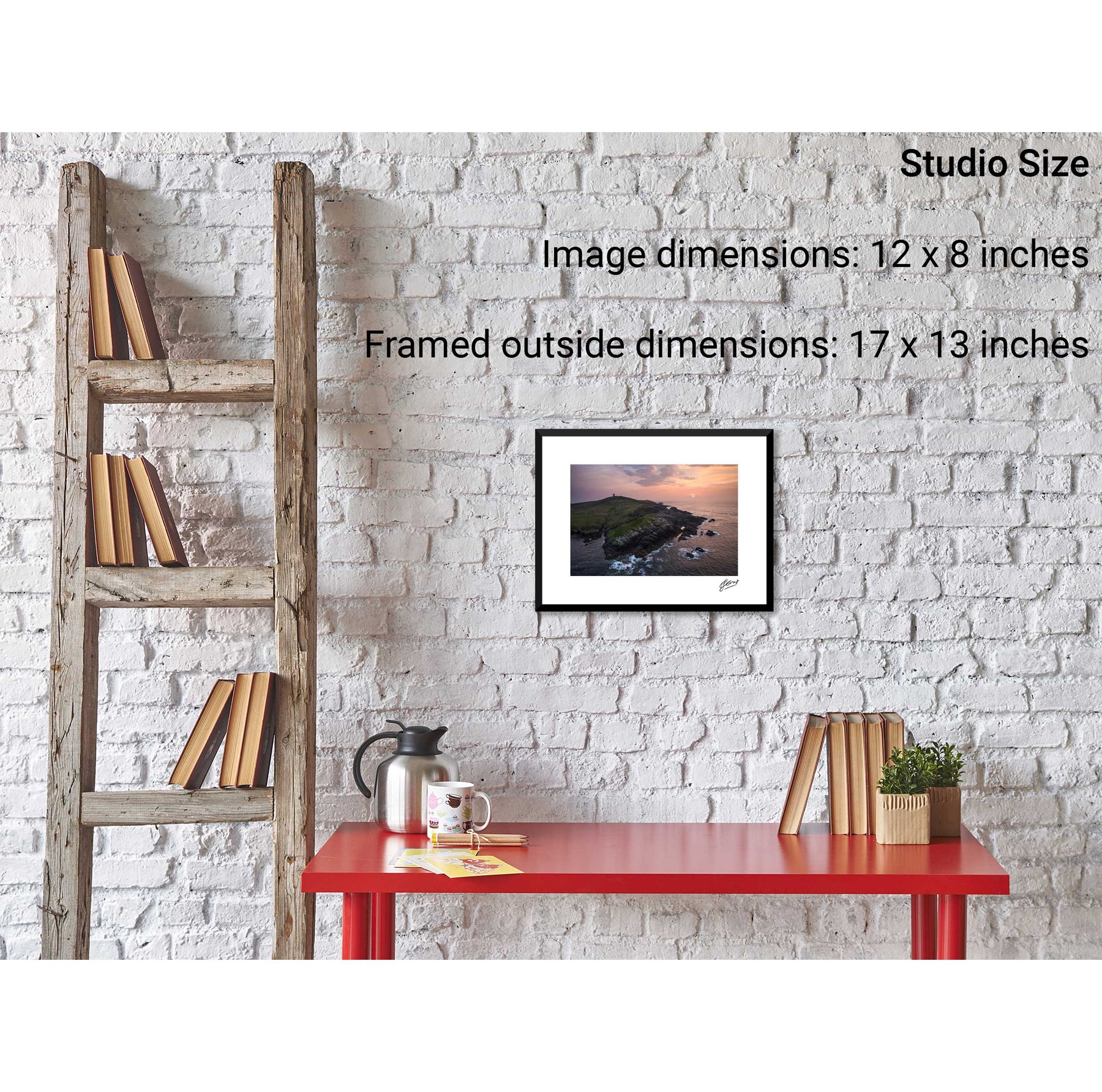
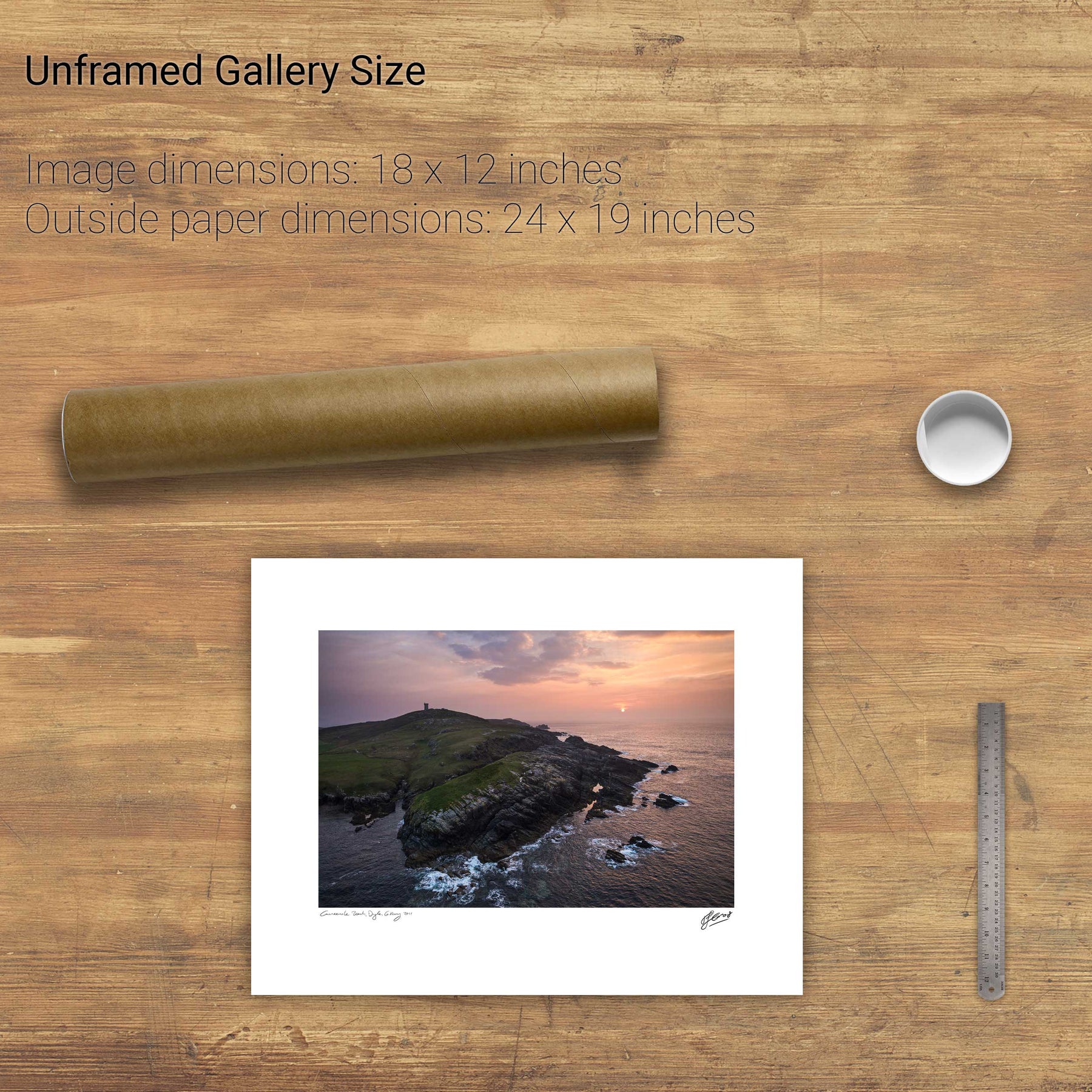
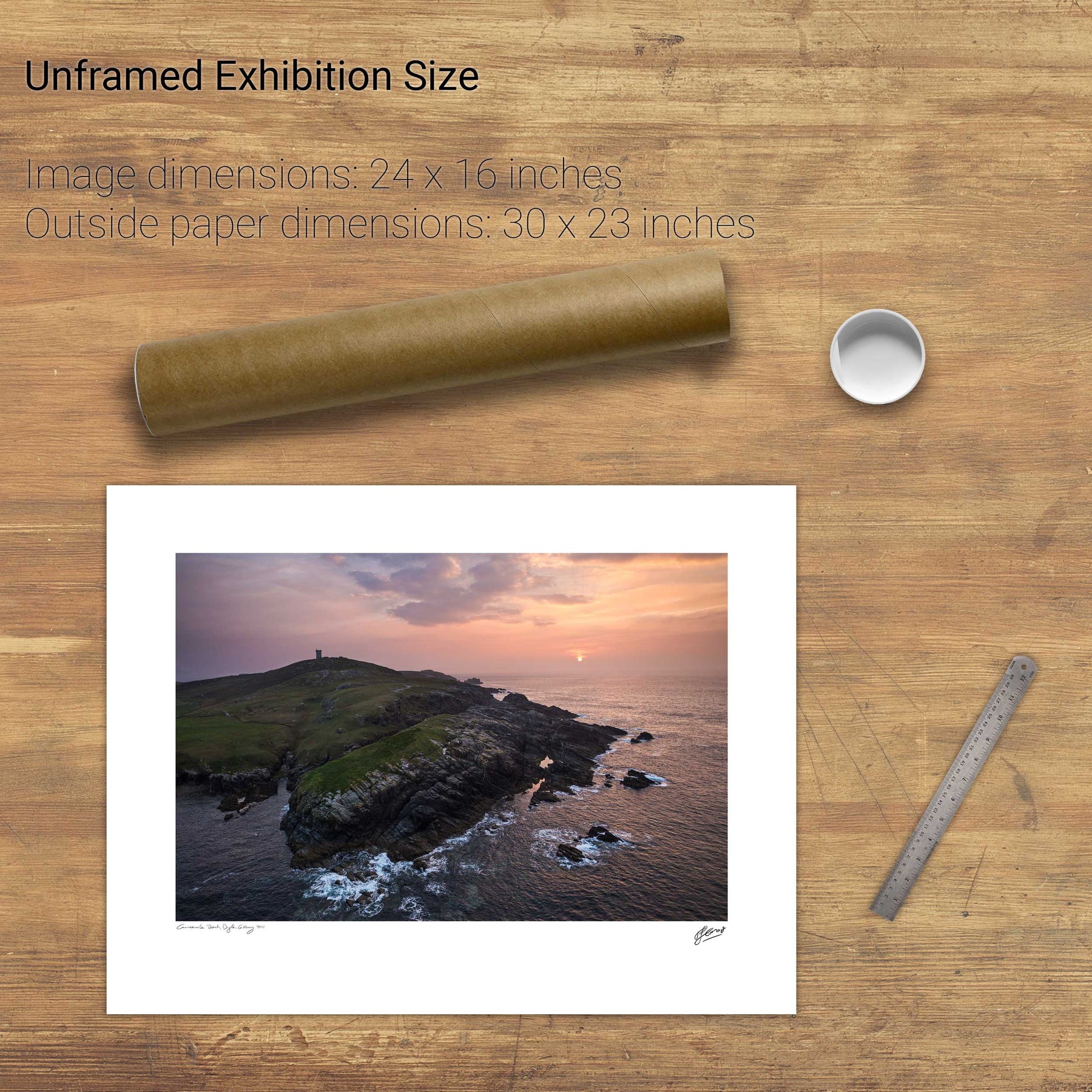
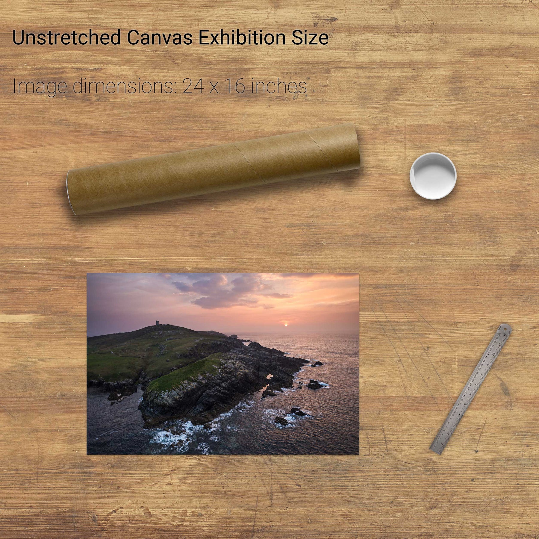
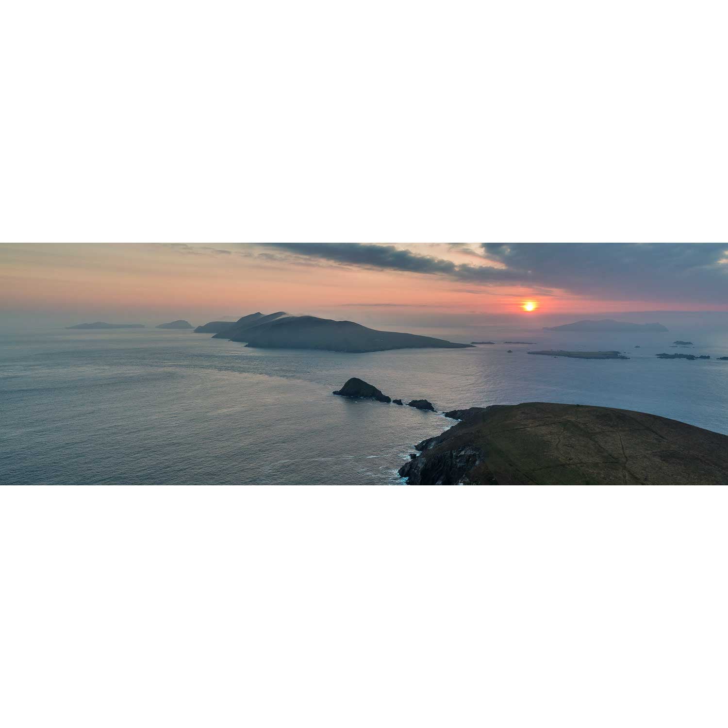
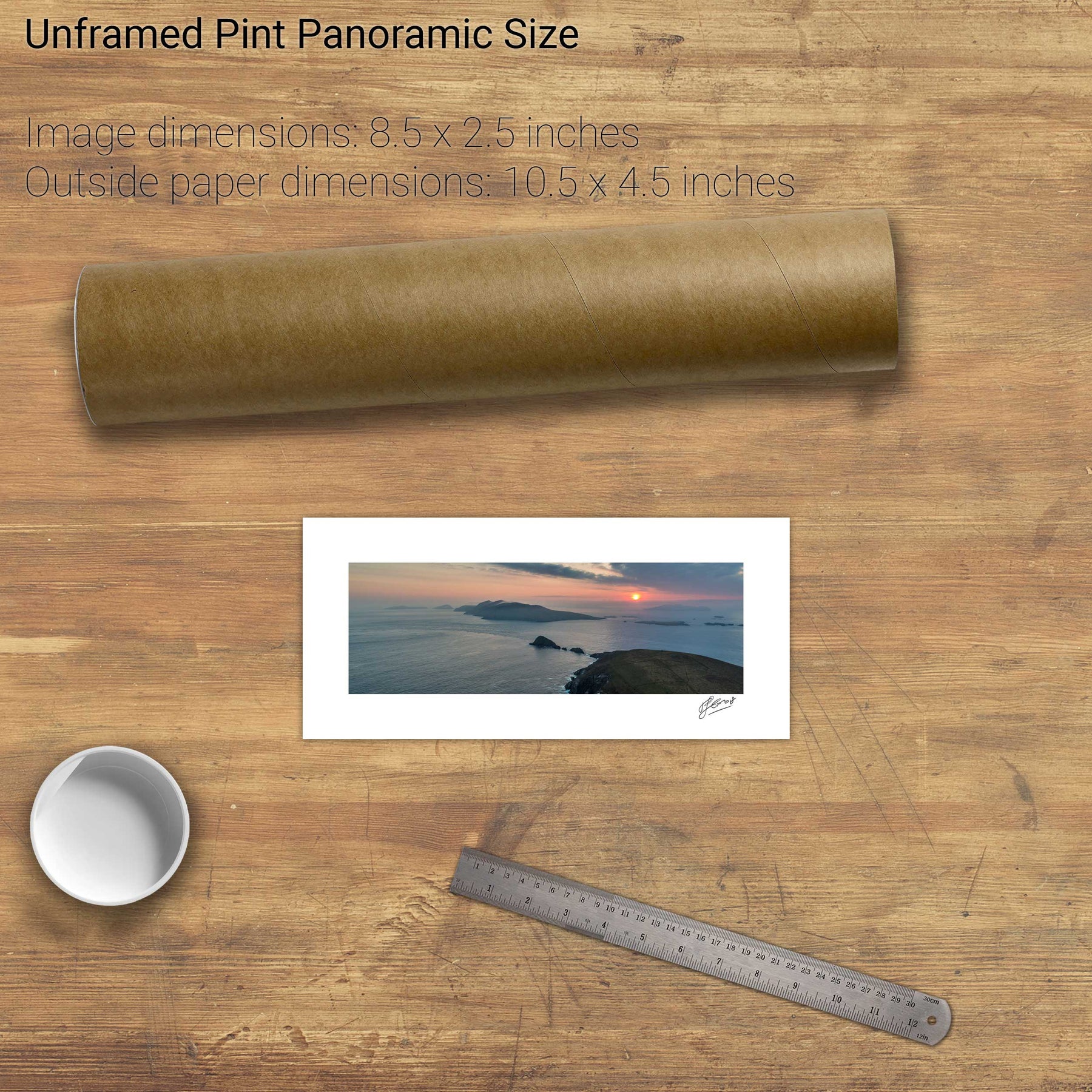
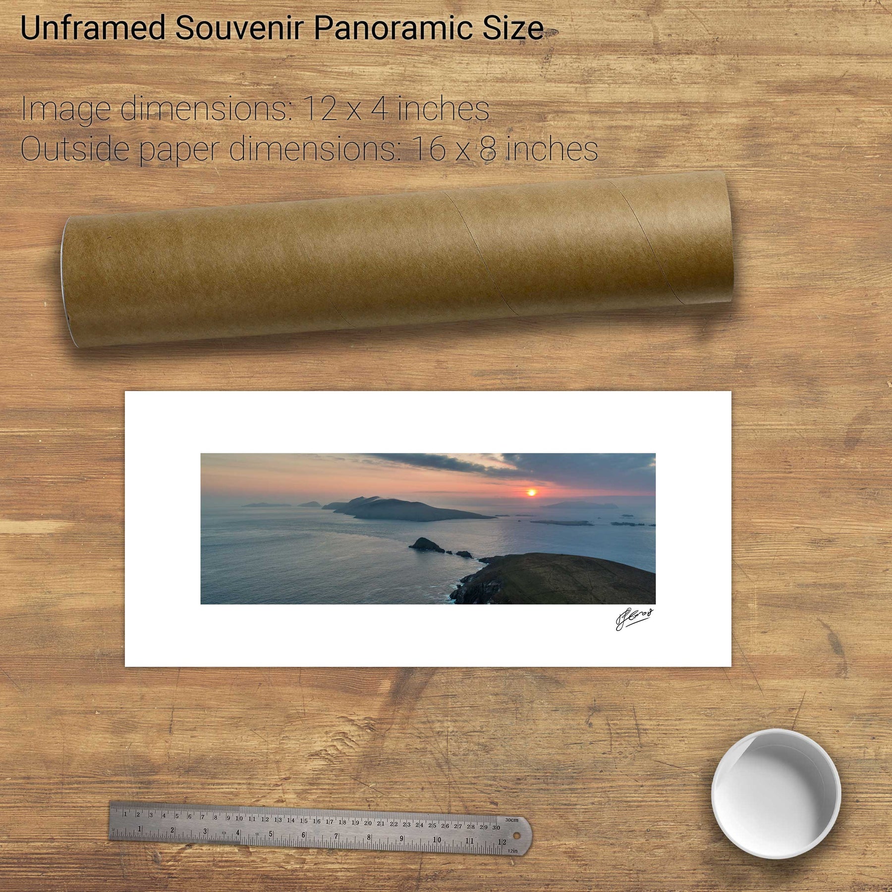
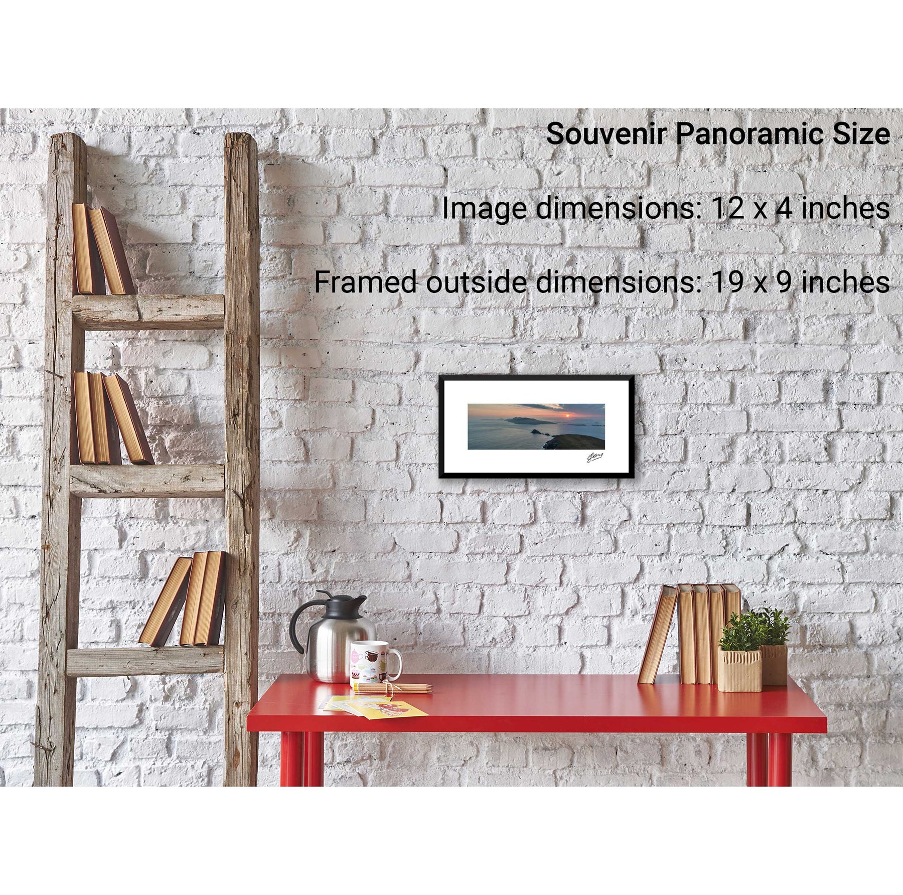
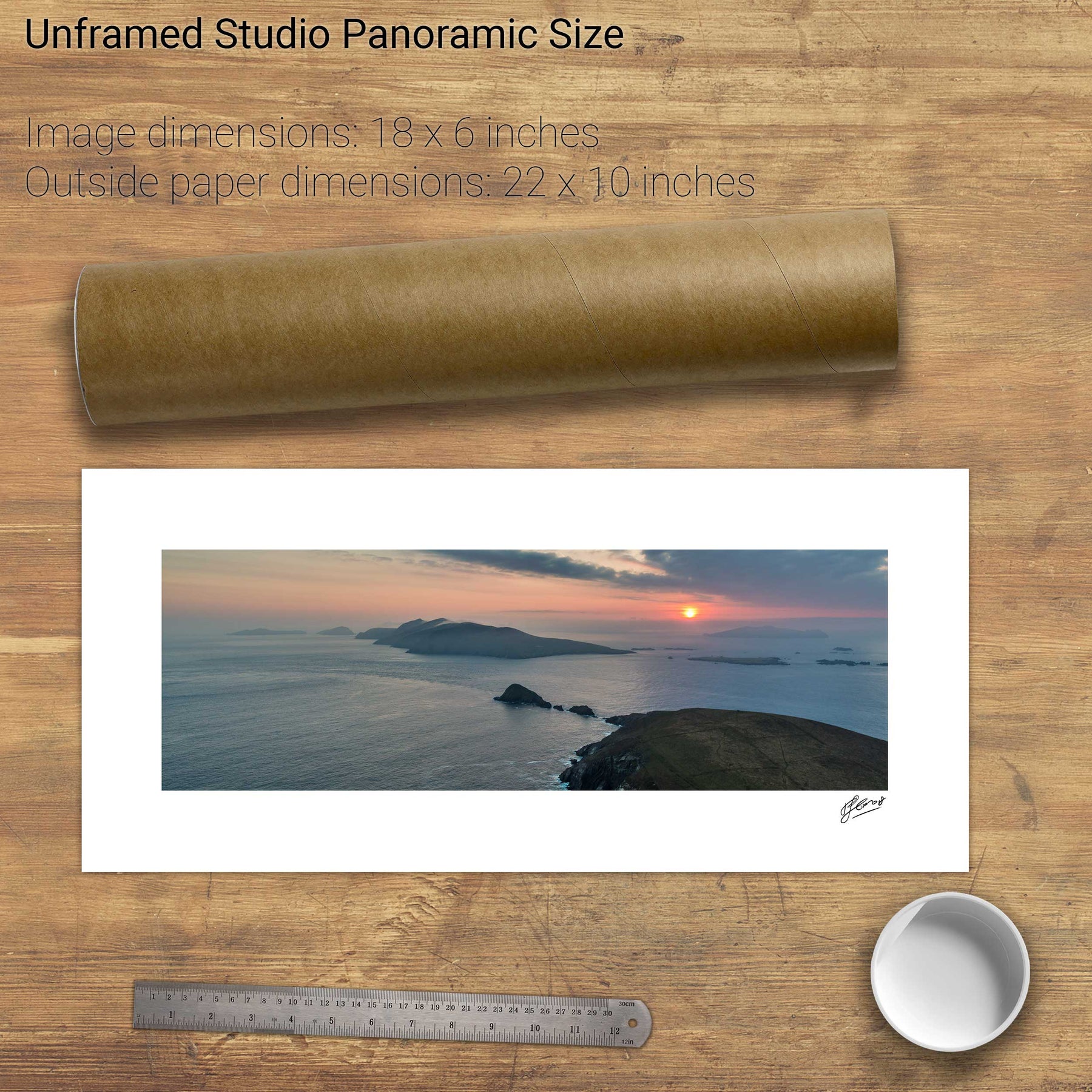
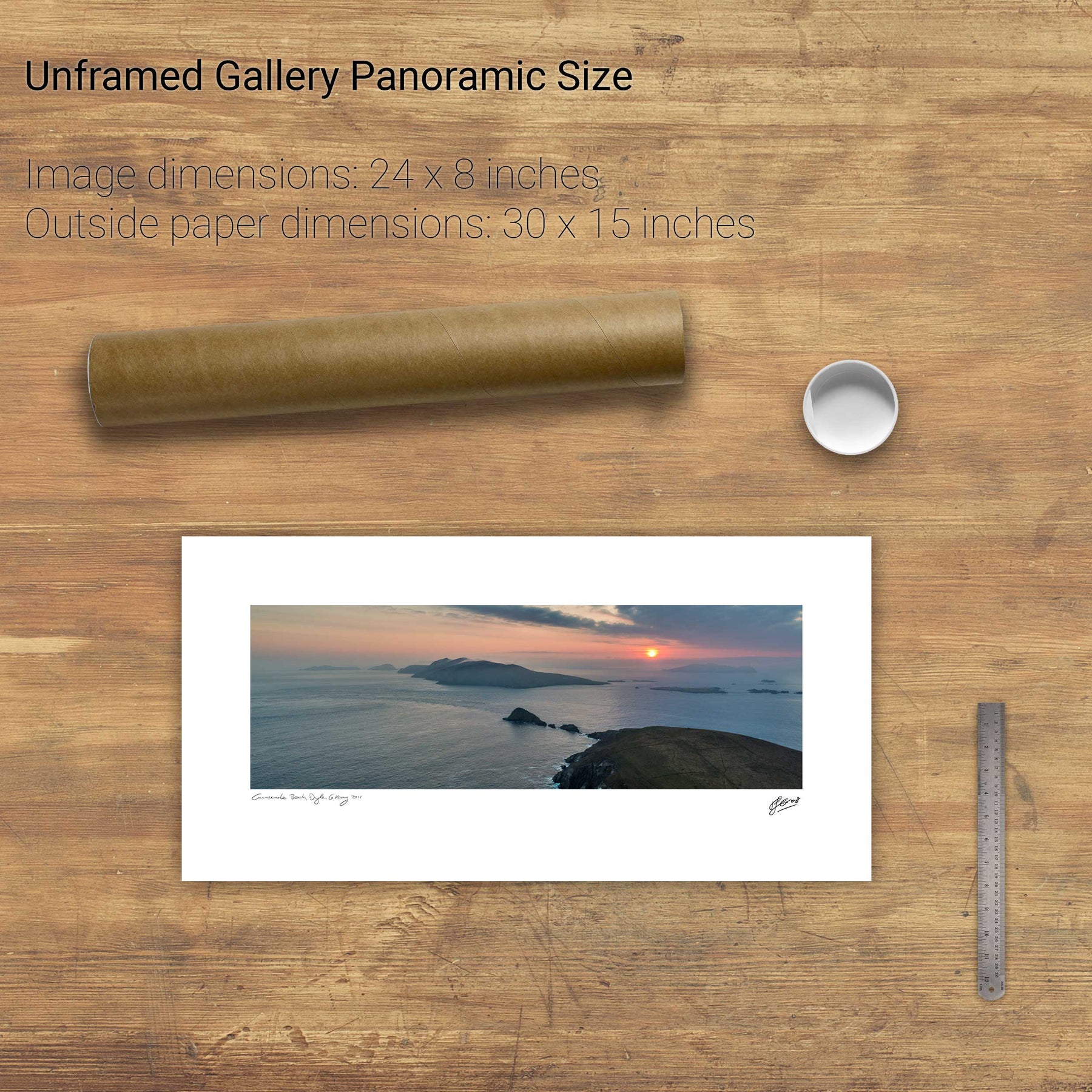
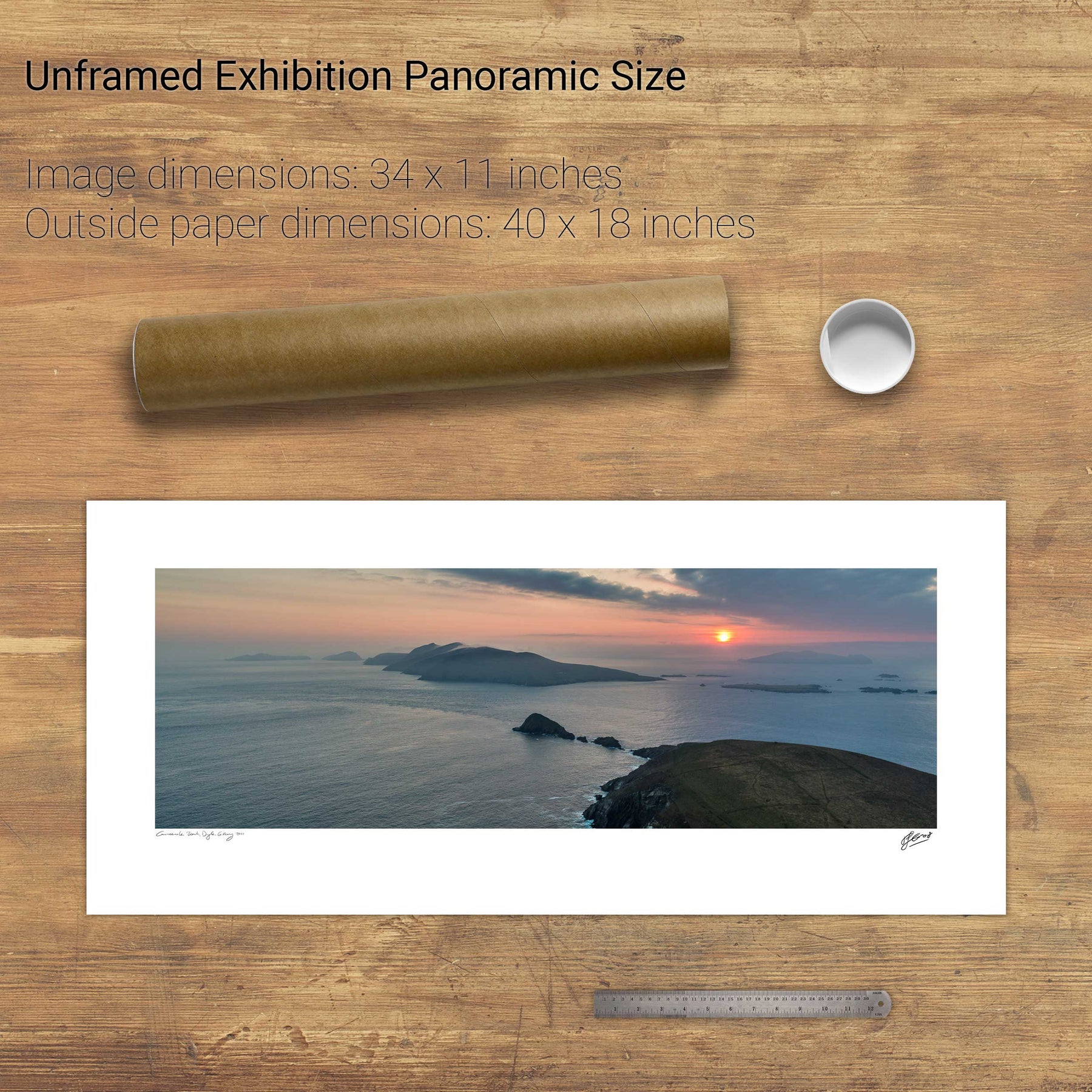
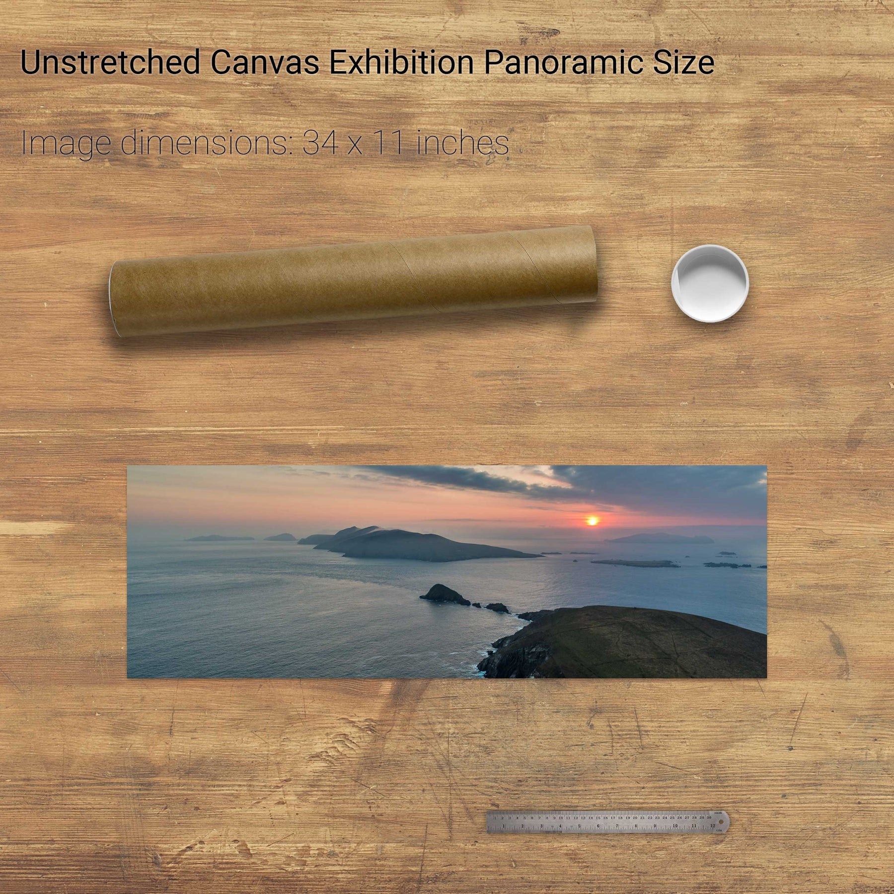
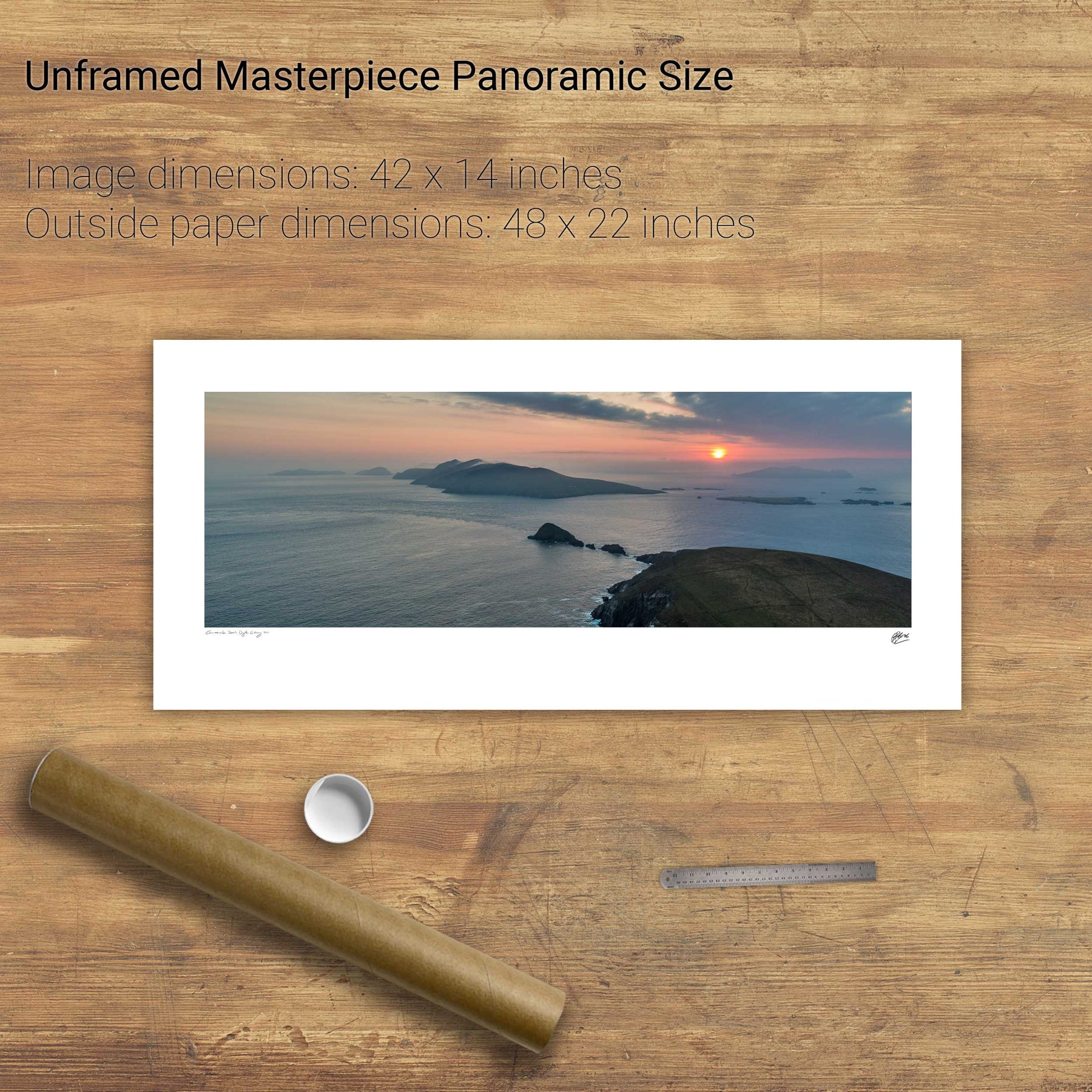
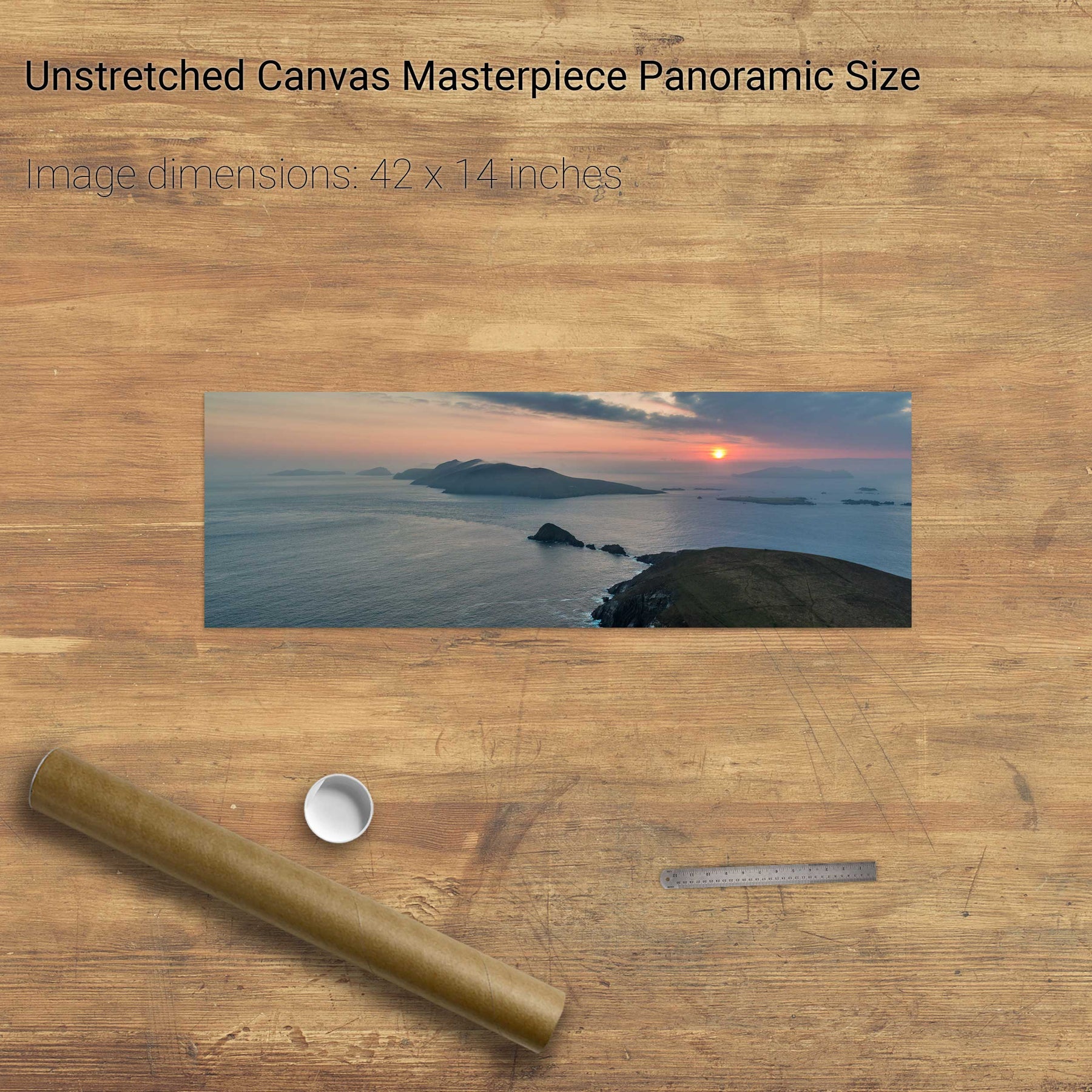
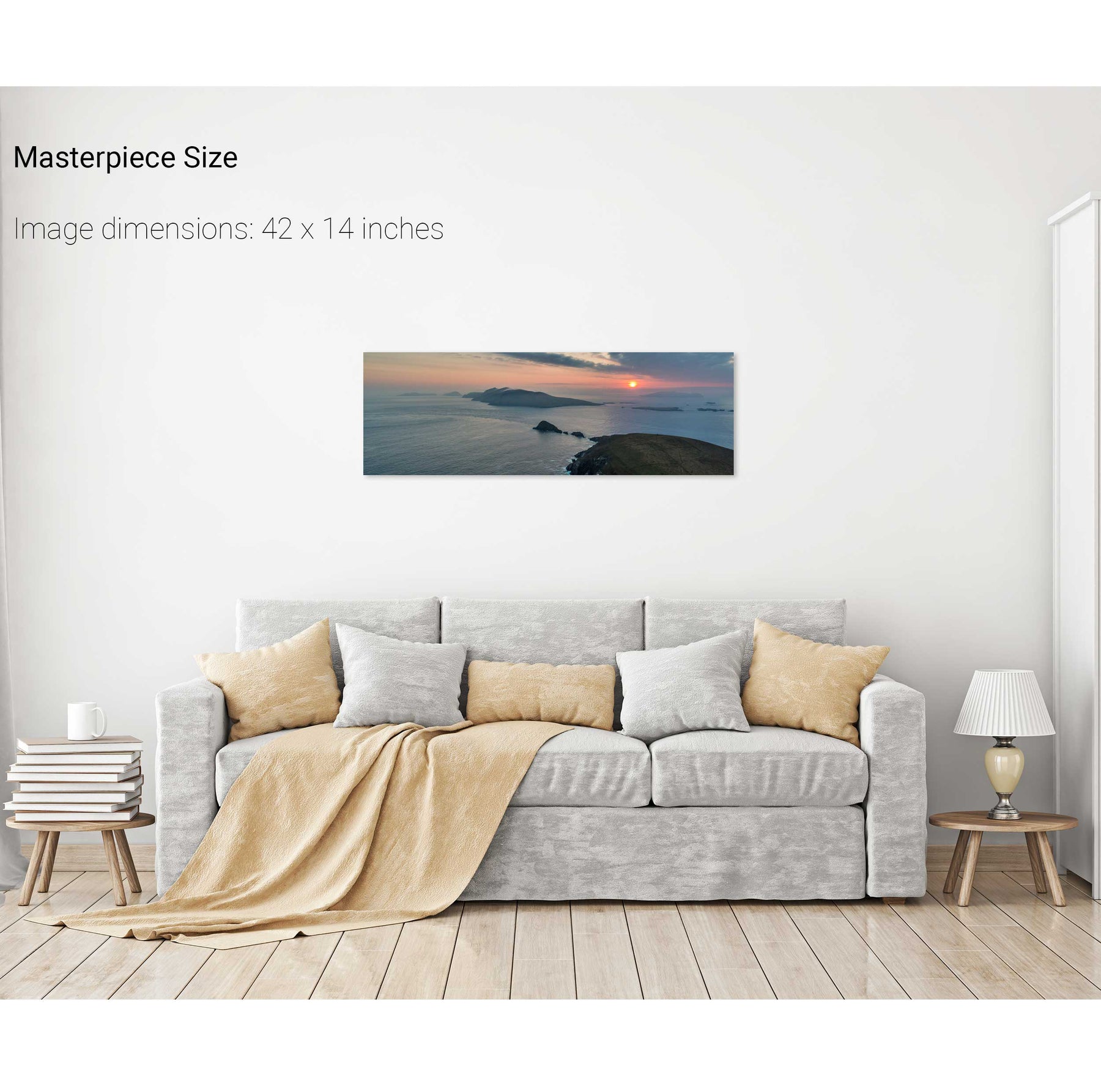
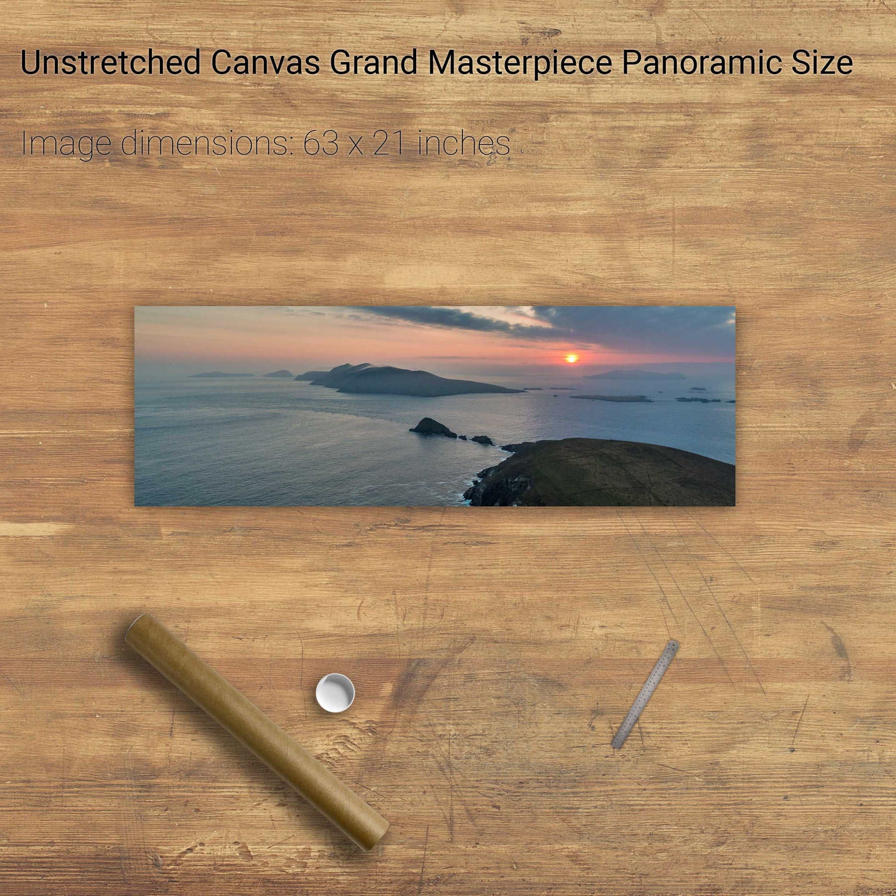
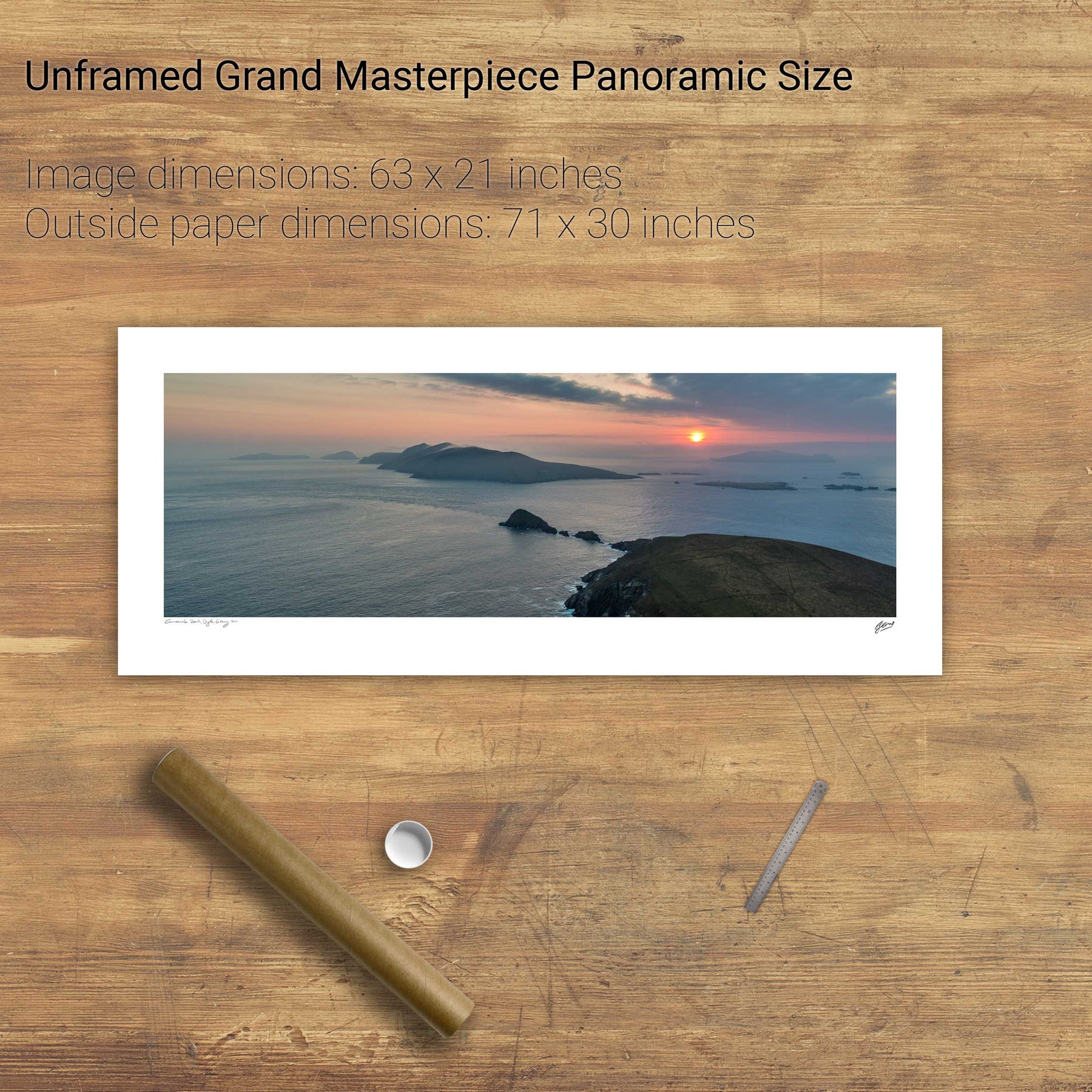
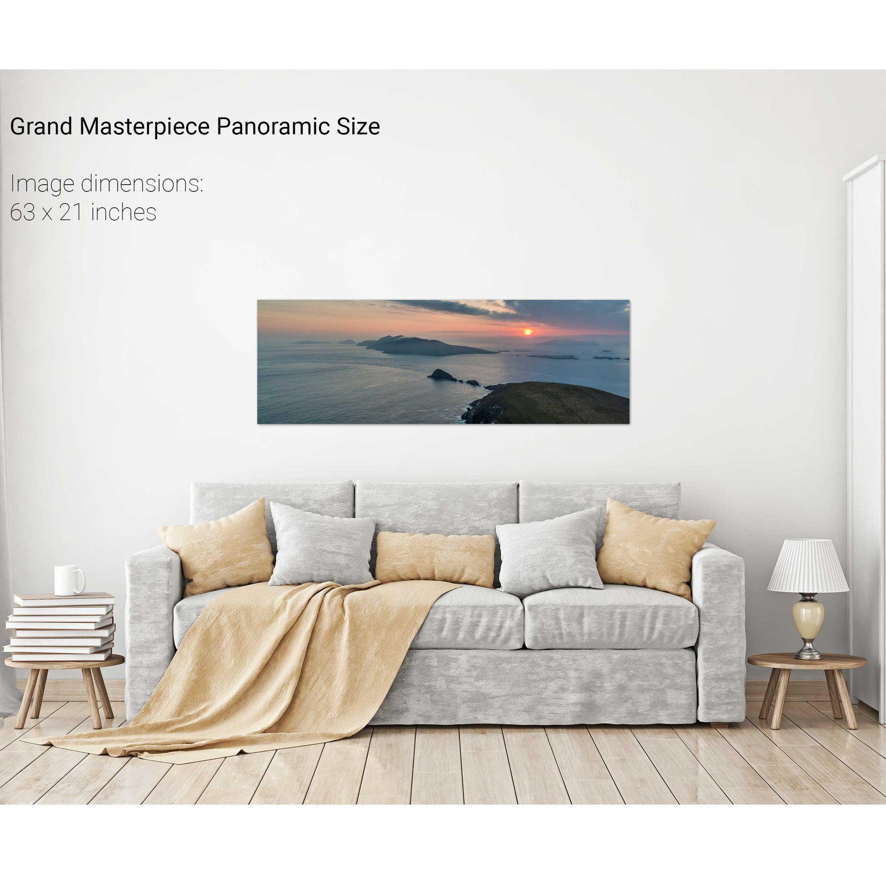
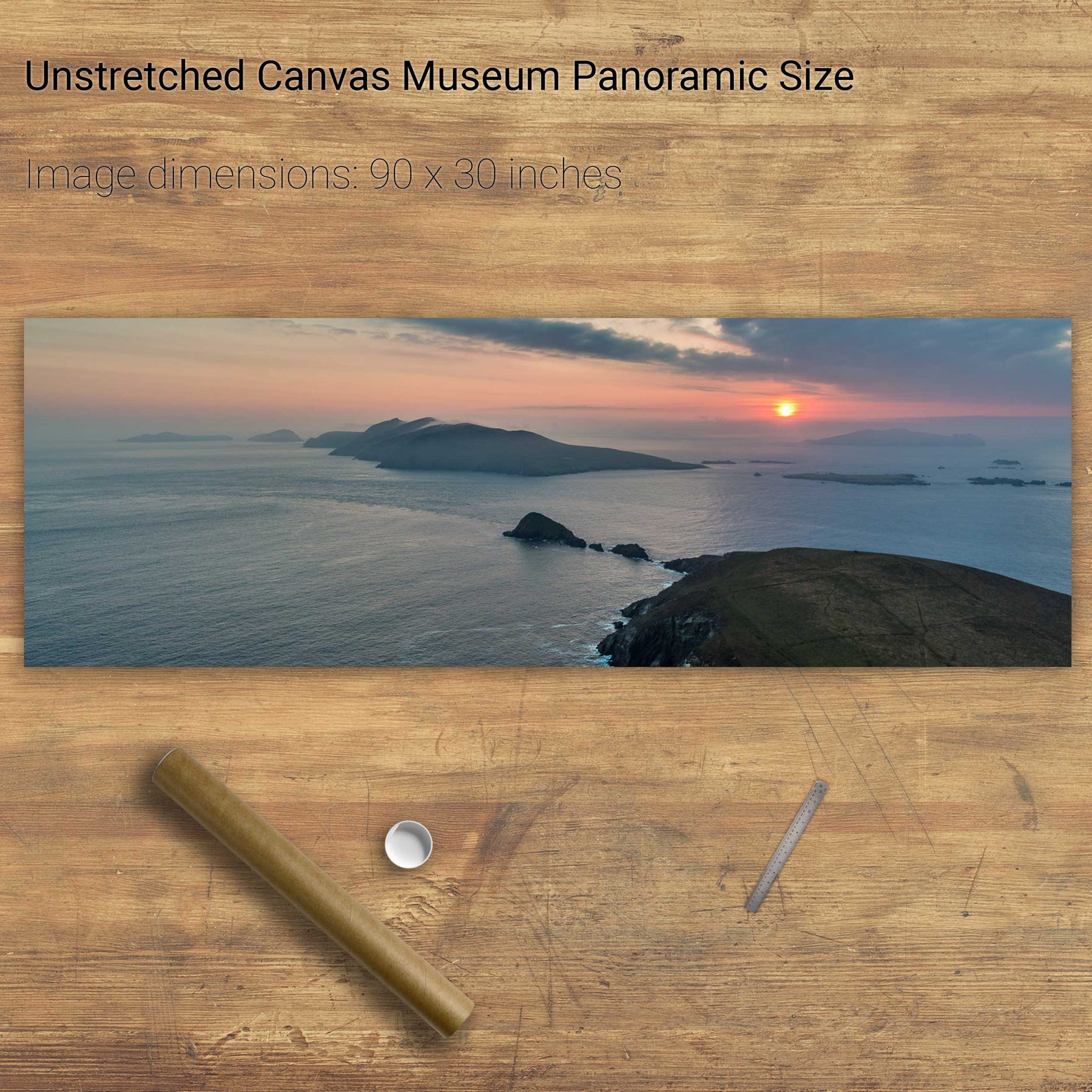
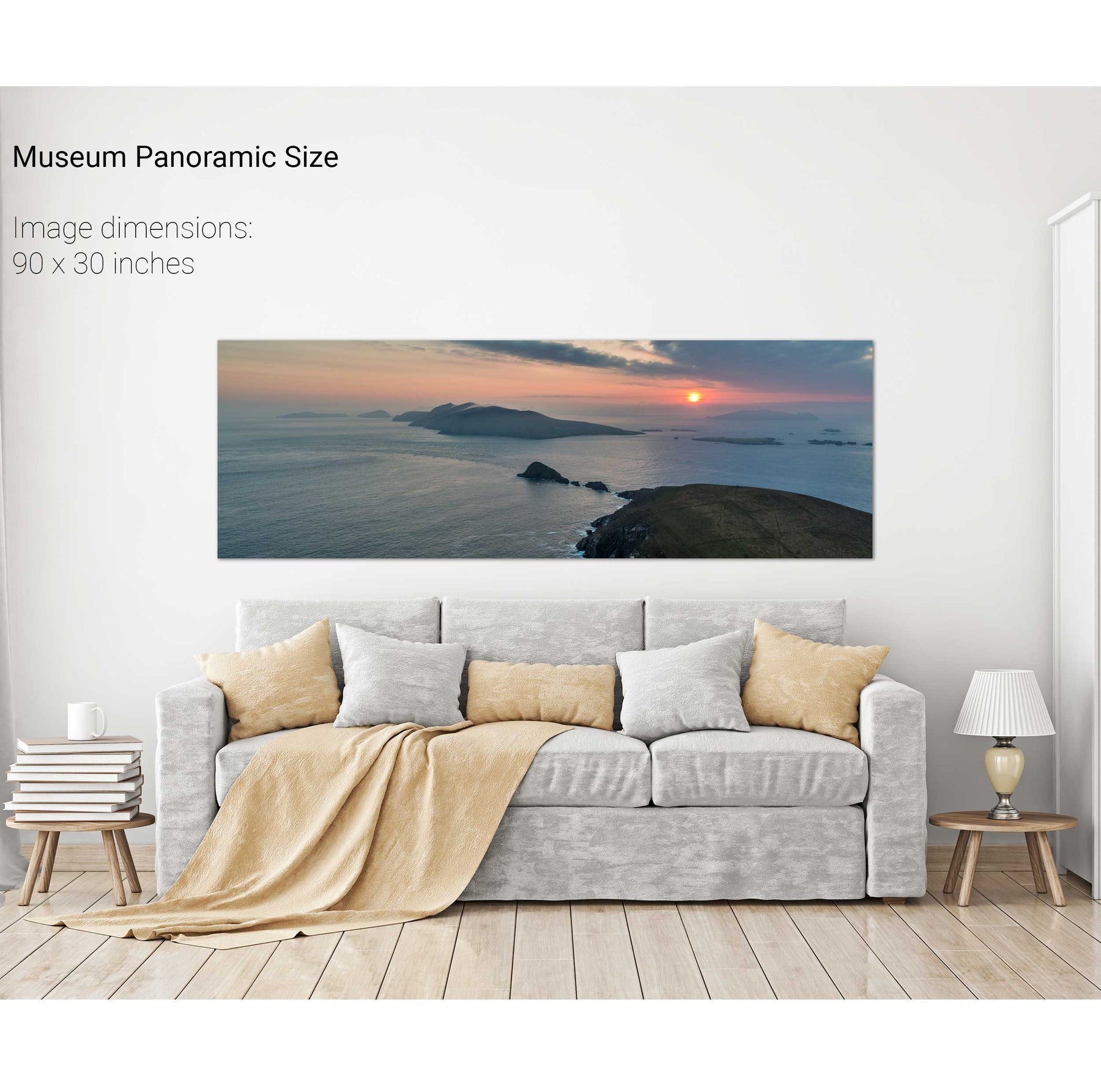
Dunmore Head at Sunset, Dingle, Co. Kerry
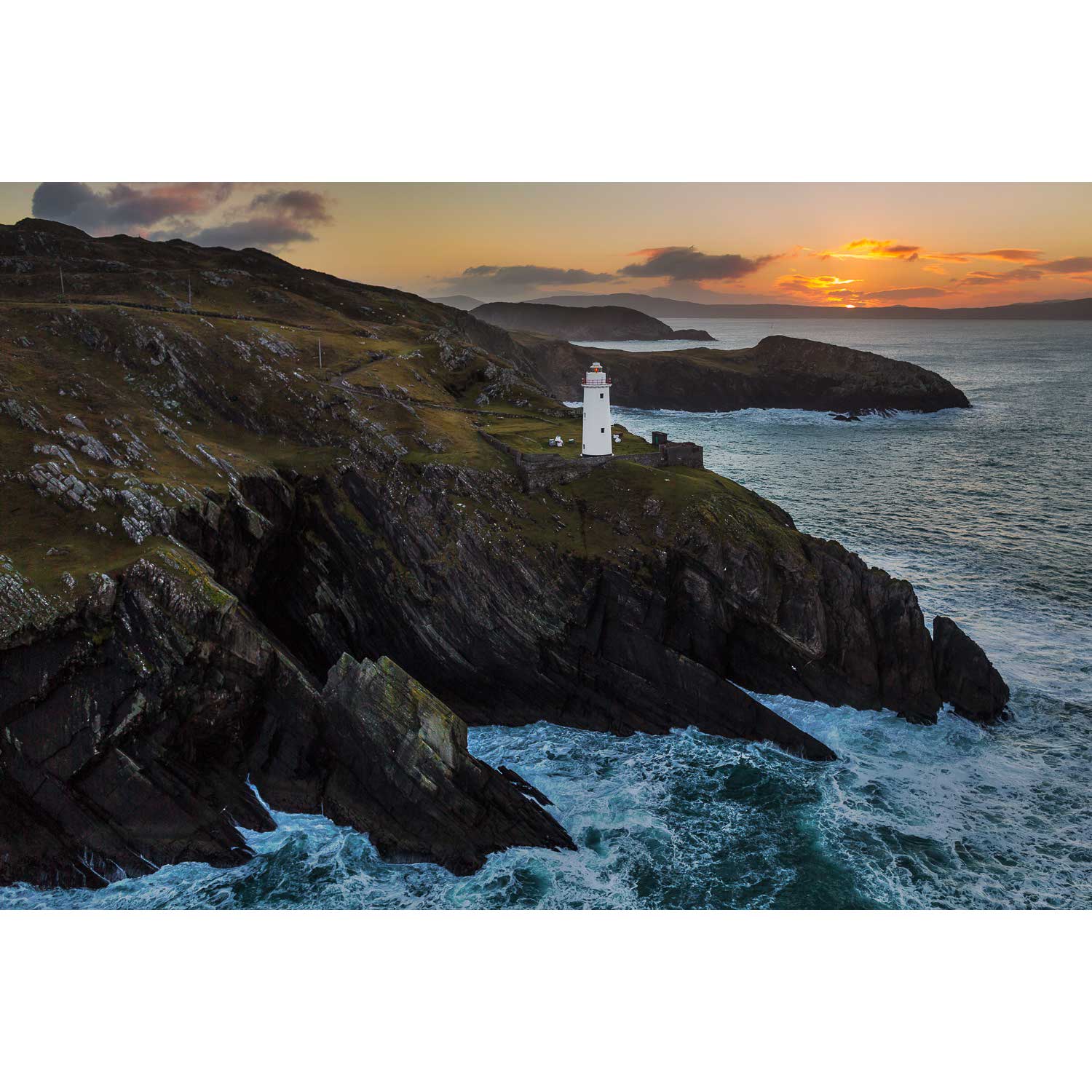
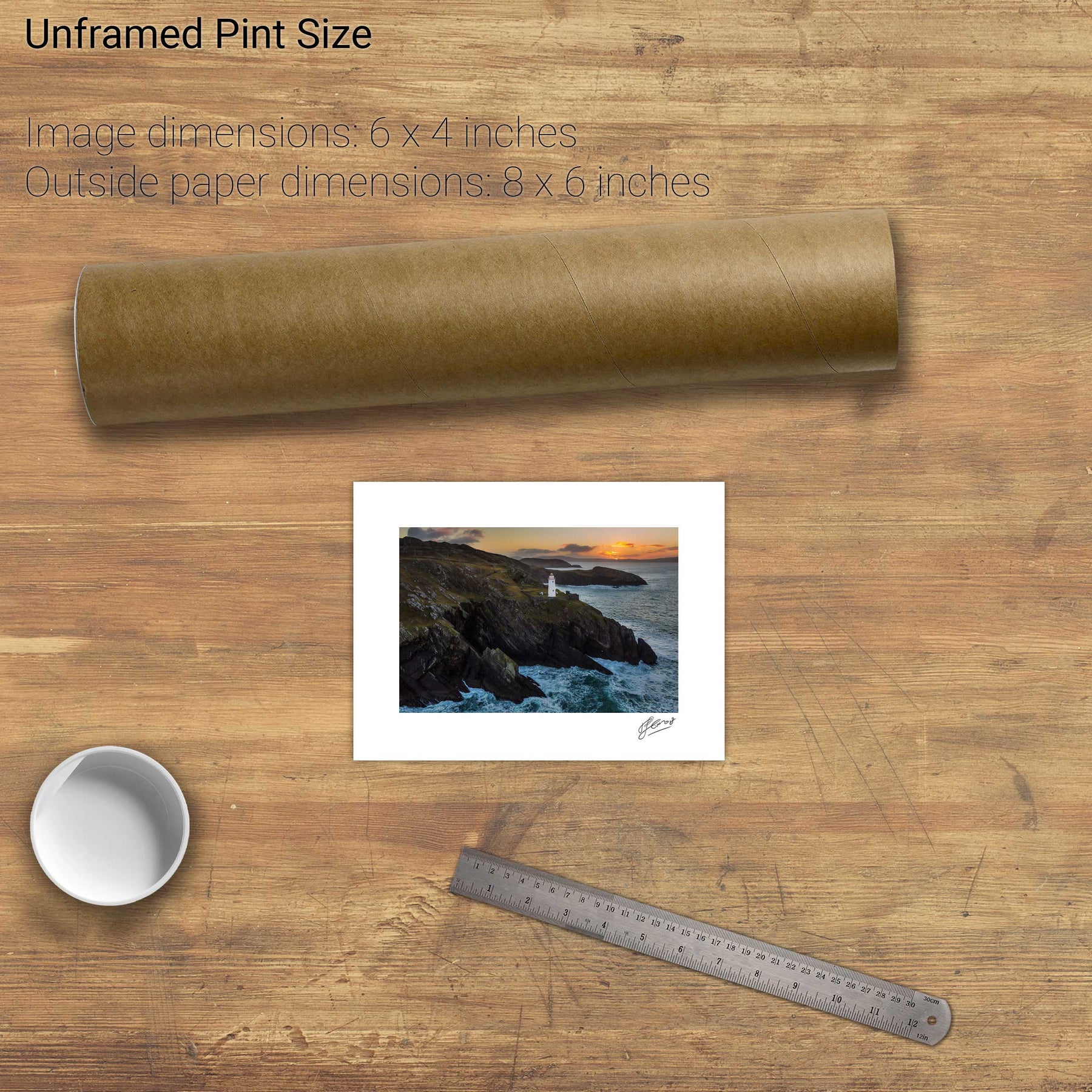
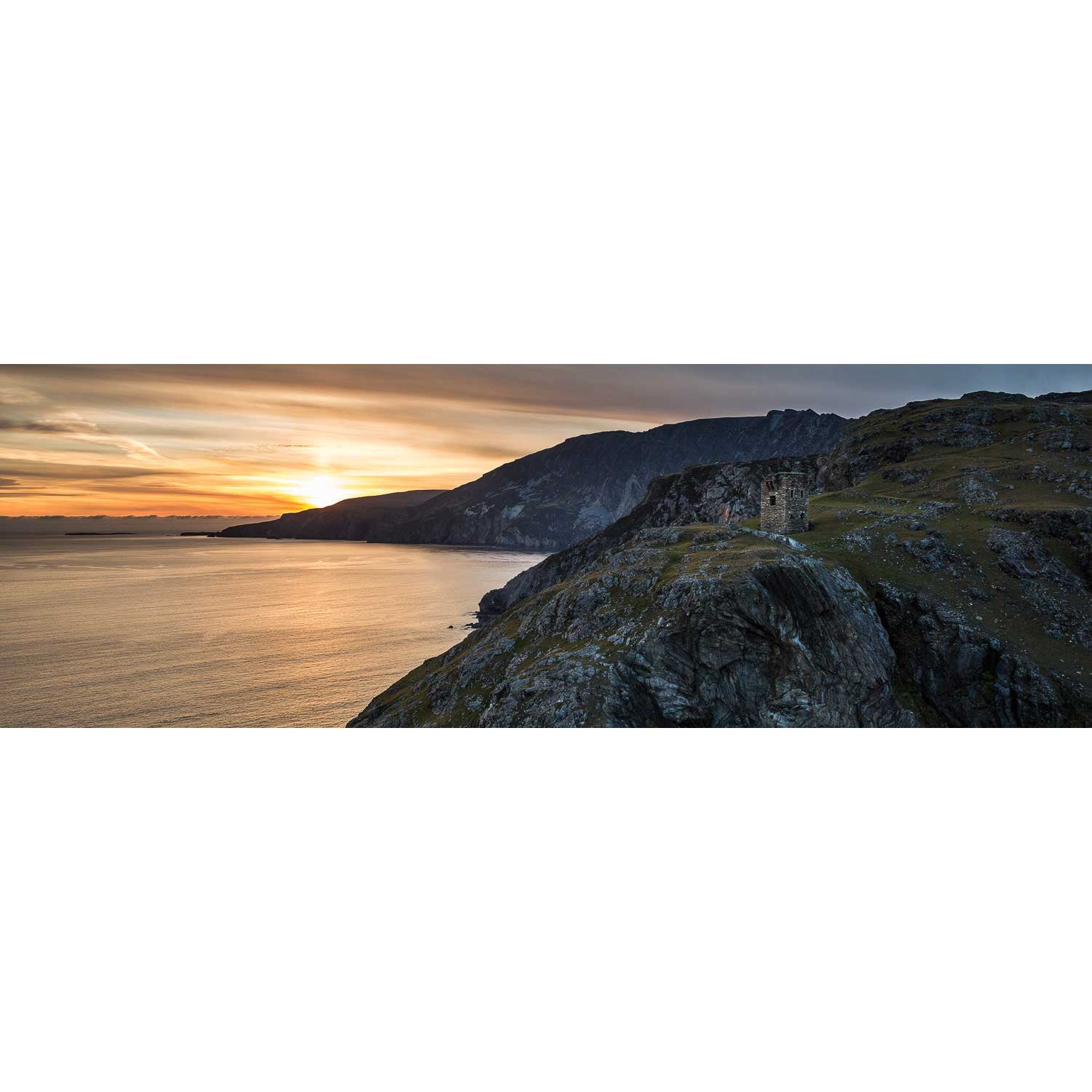
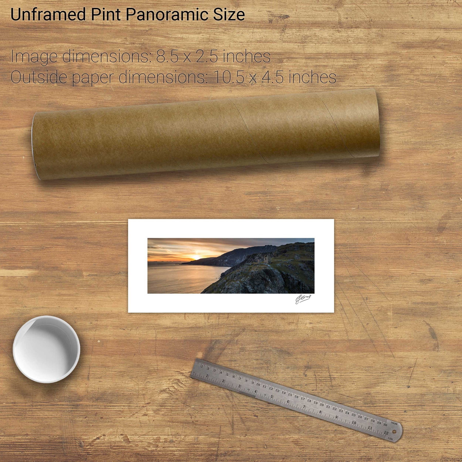
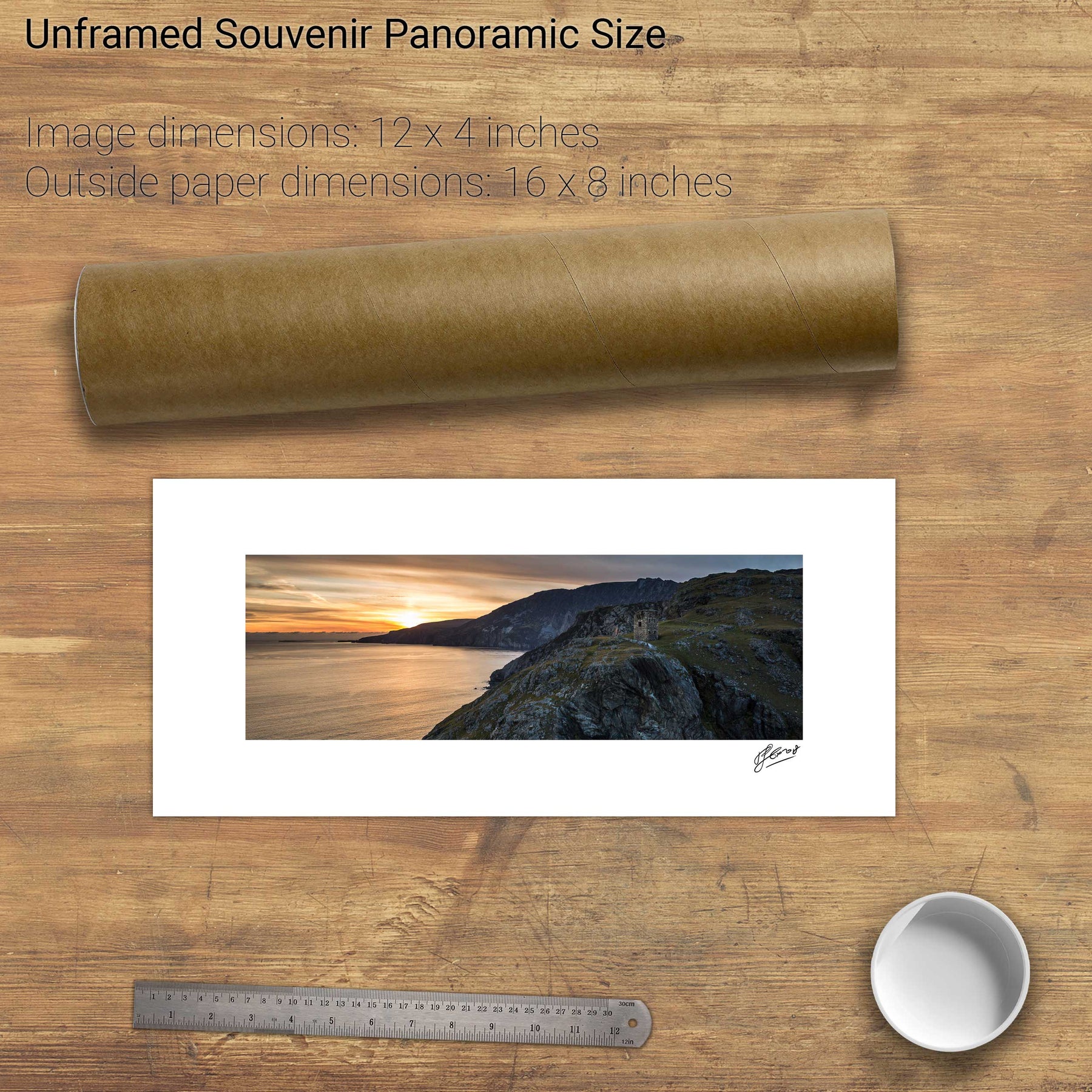
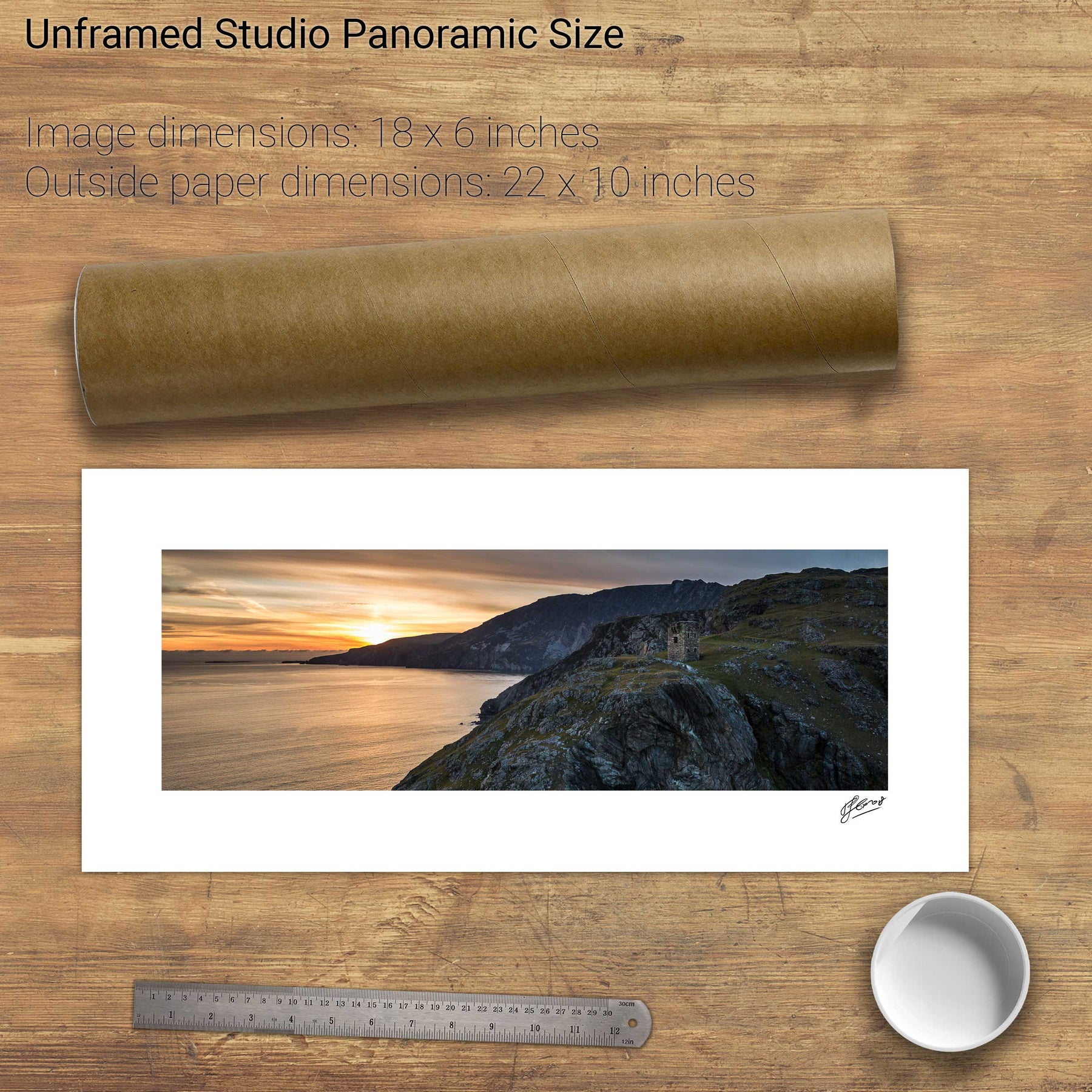
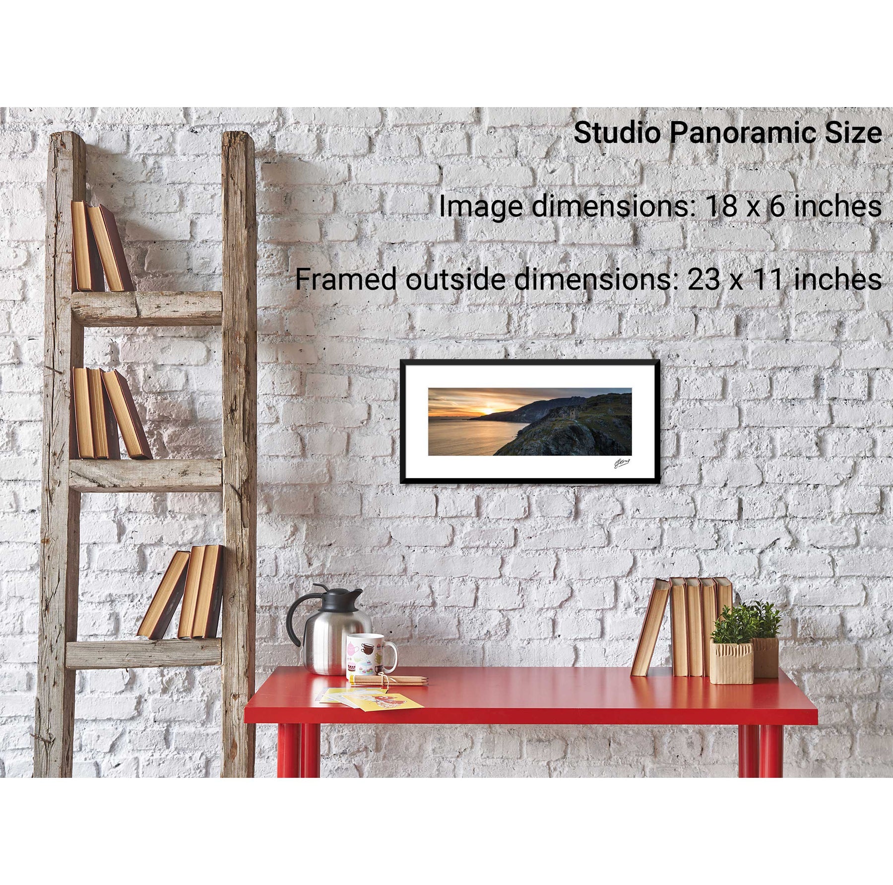
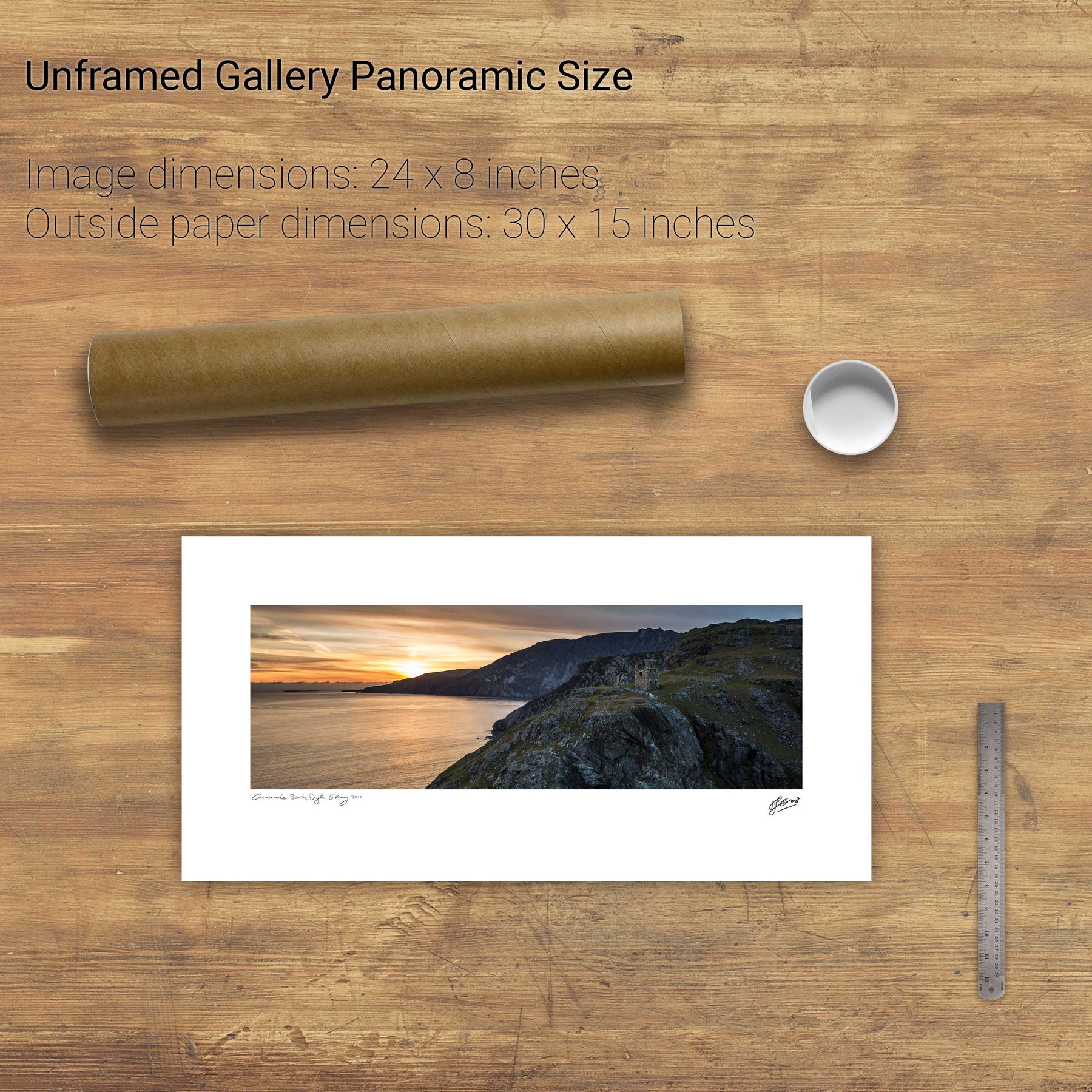
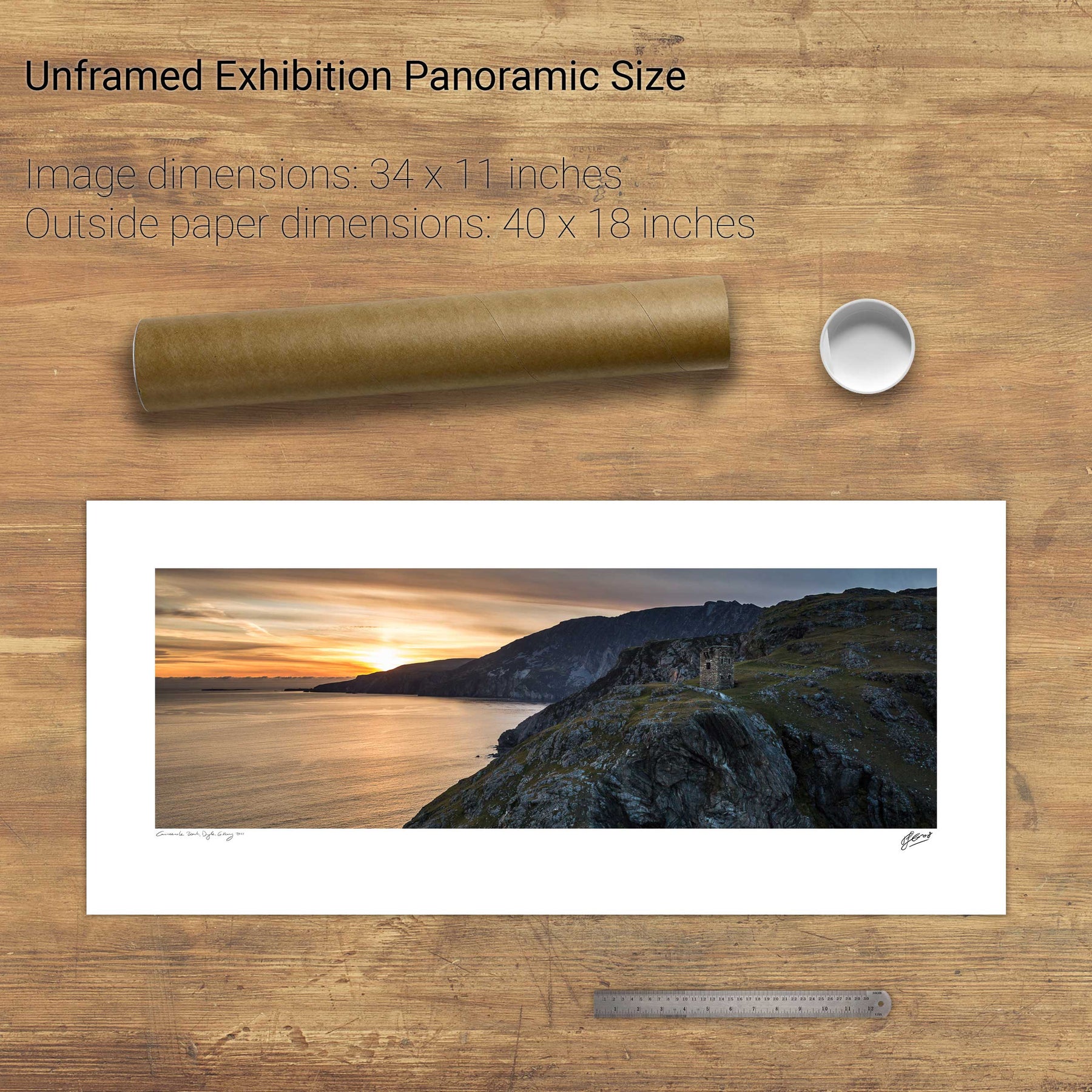
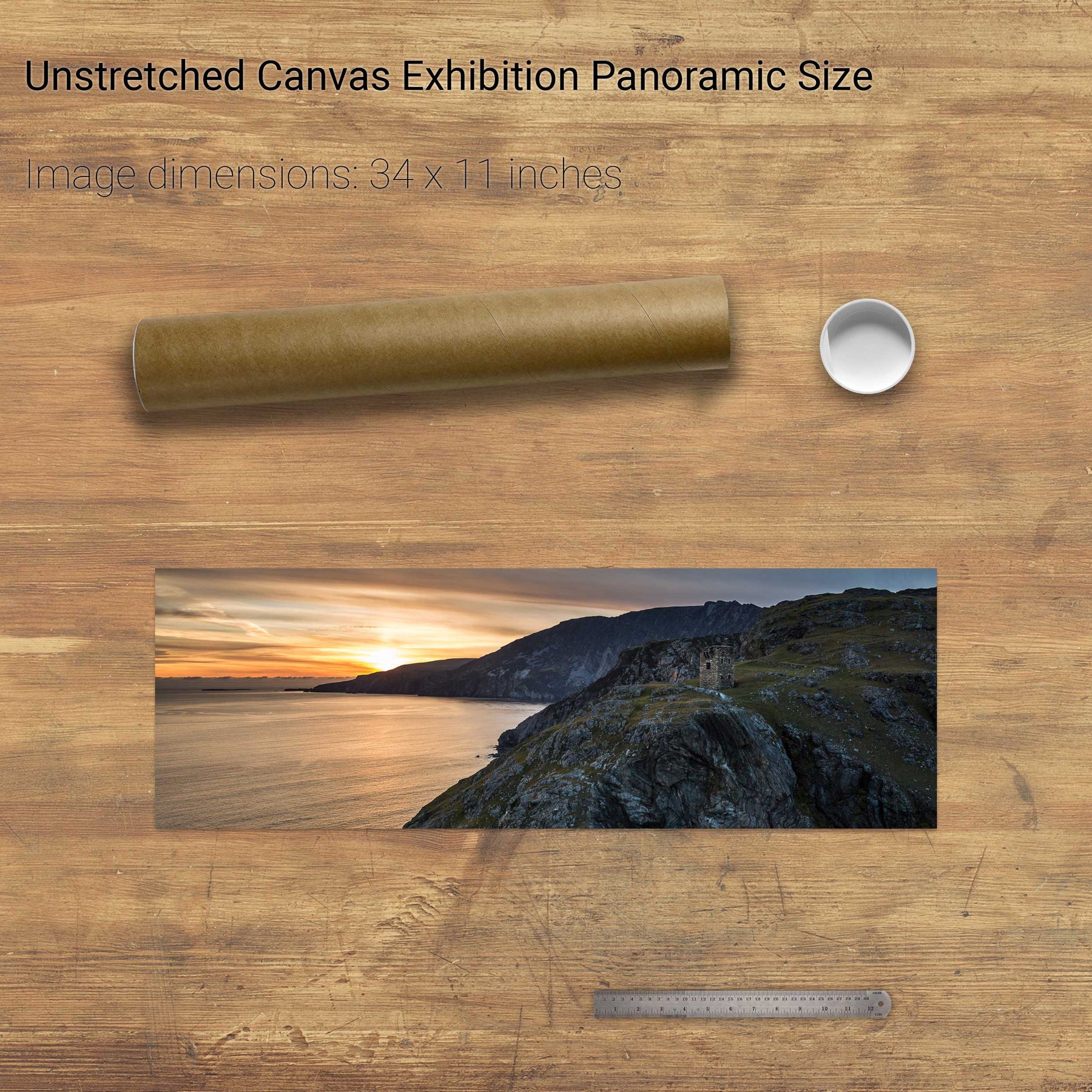
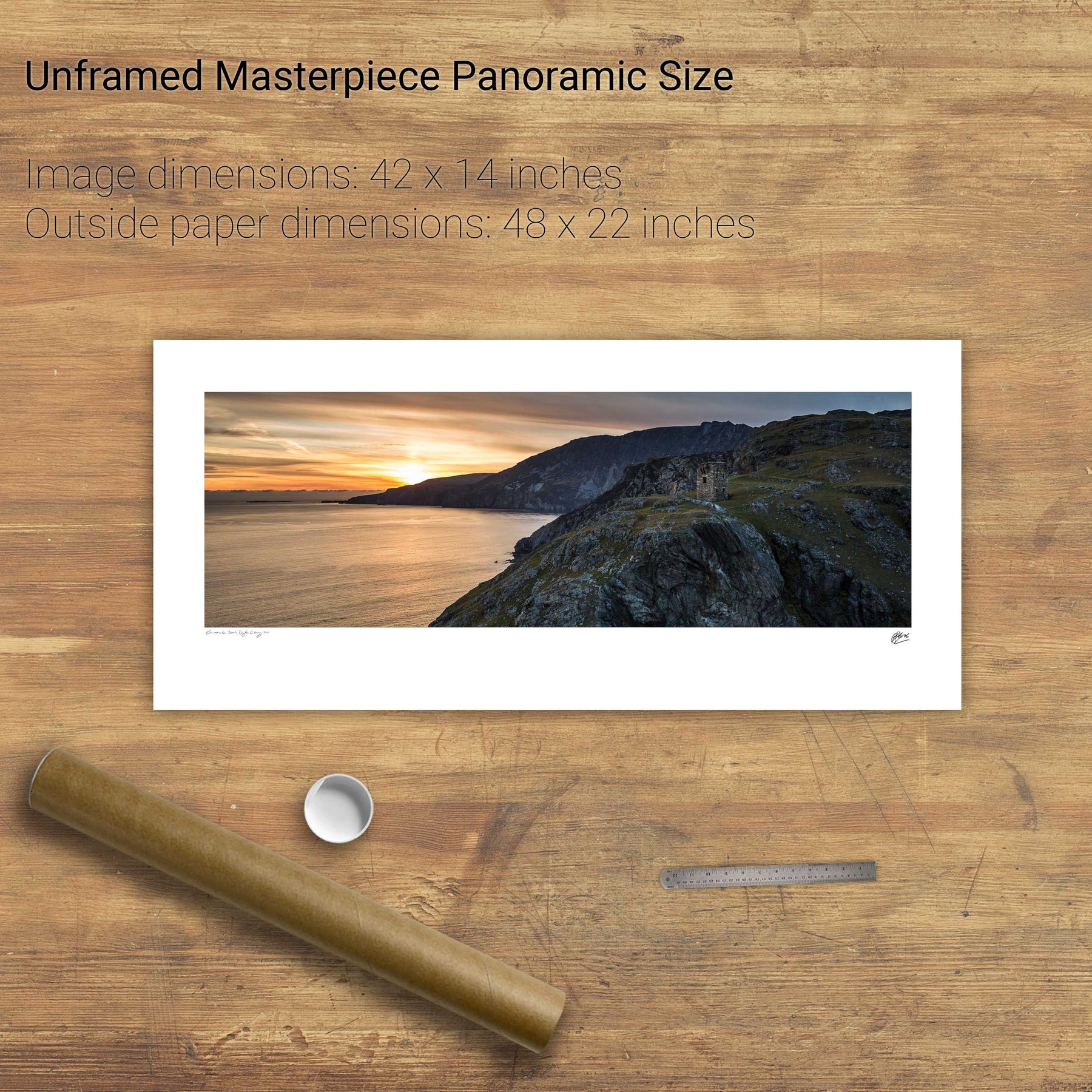
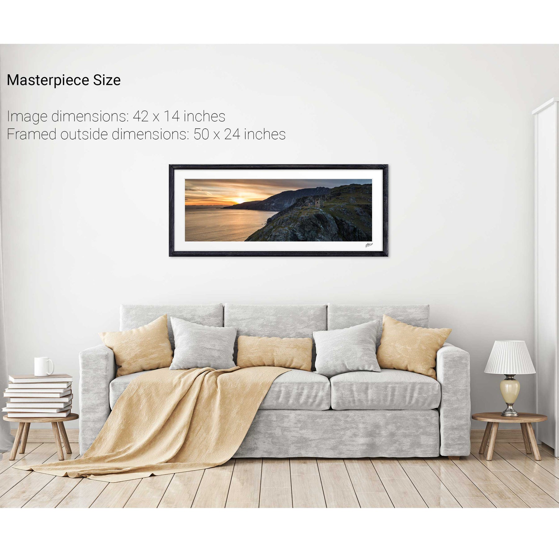
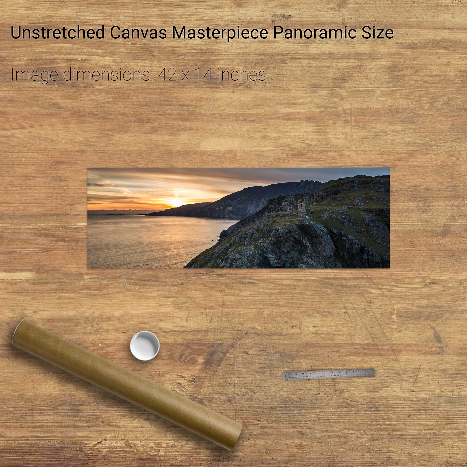
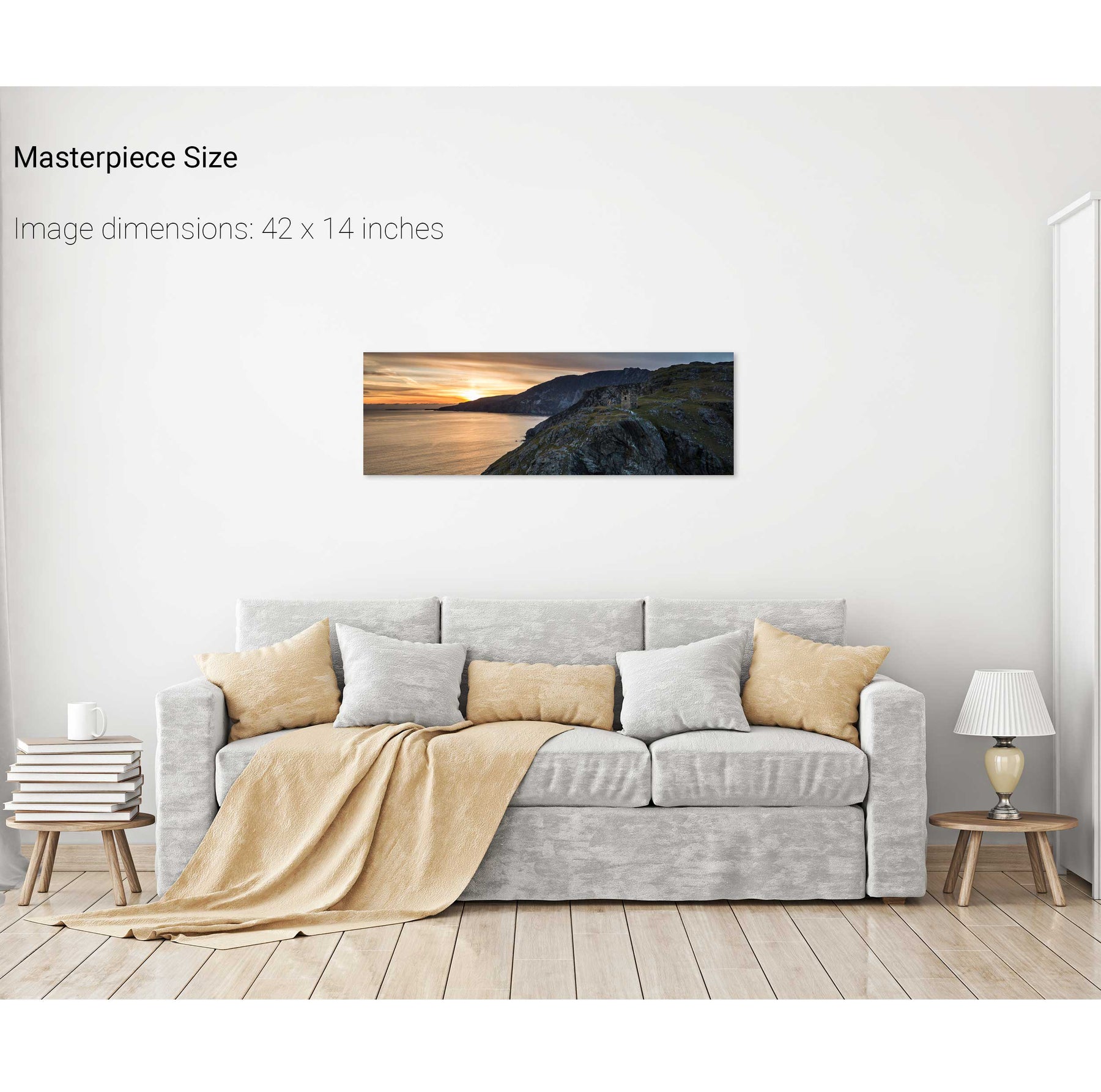
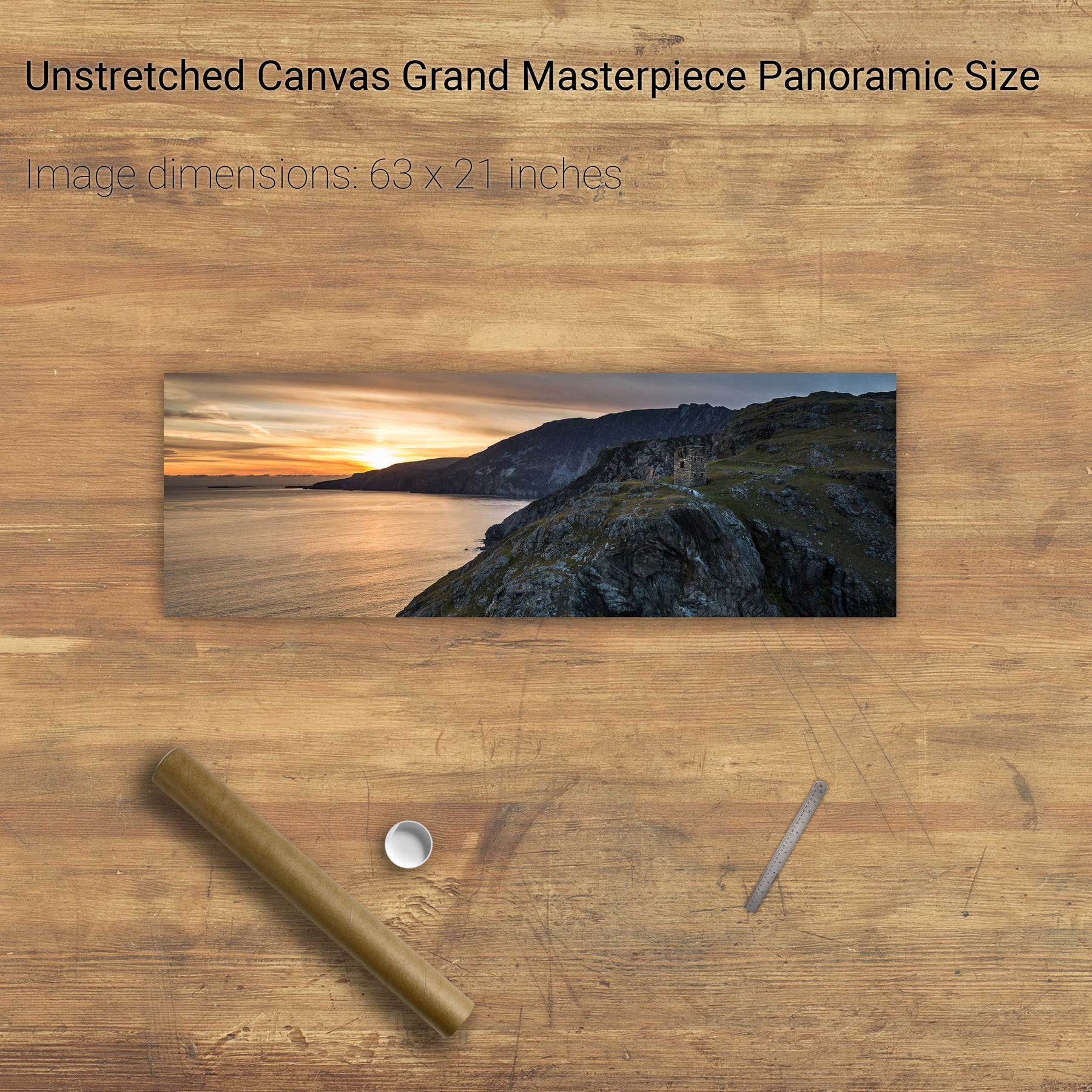
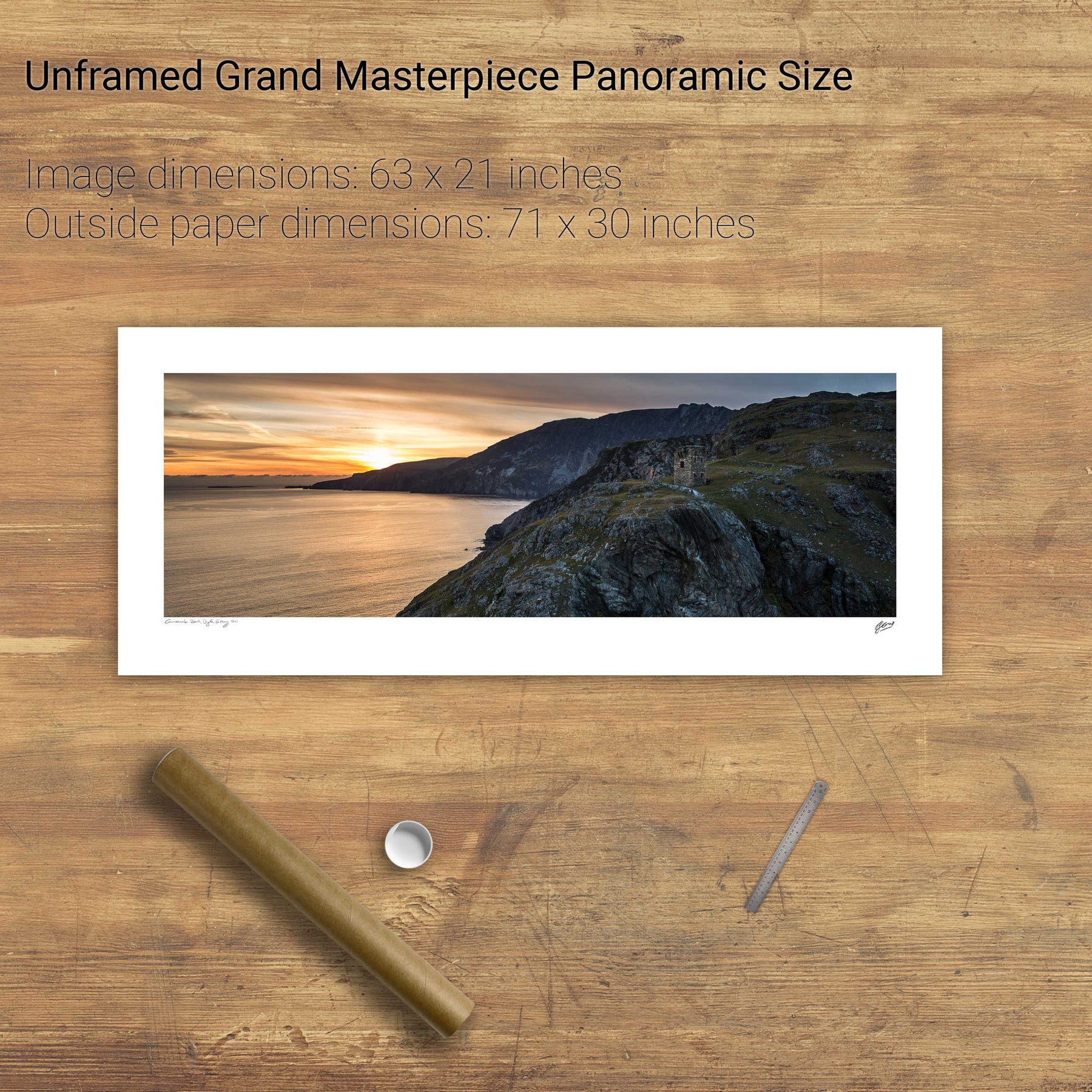
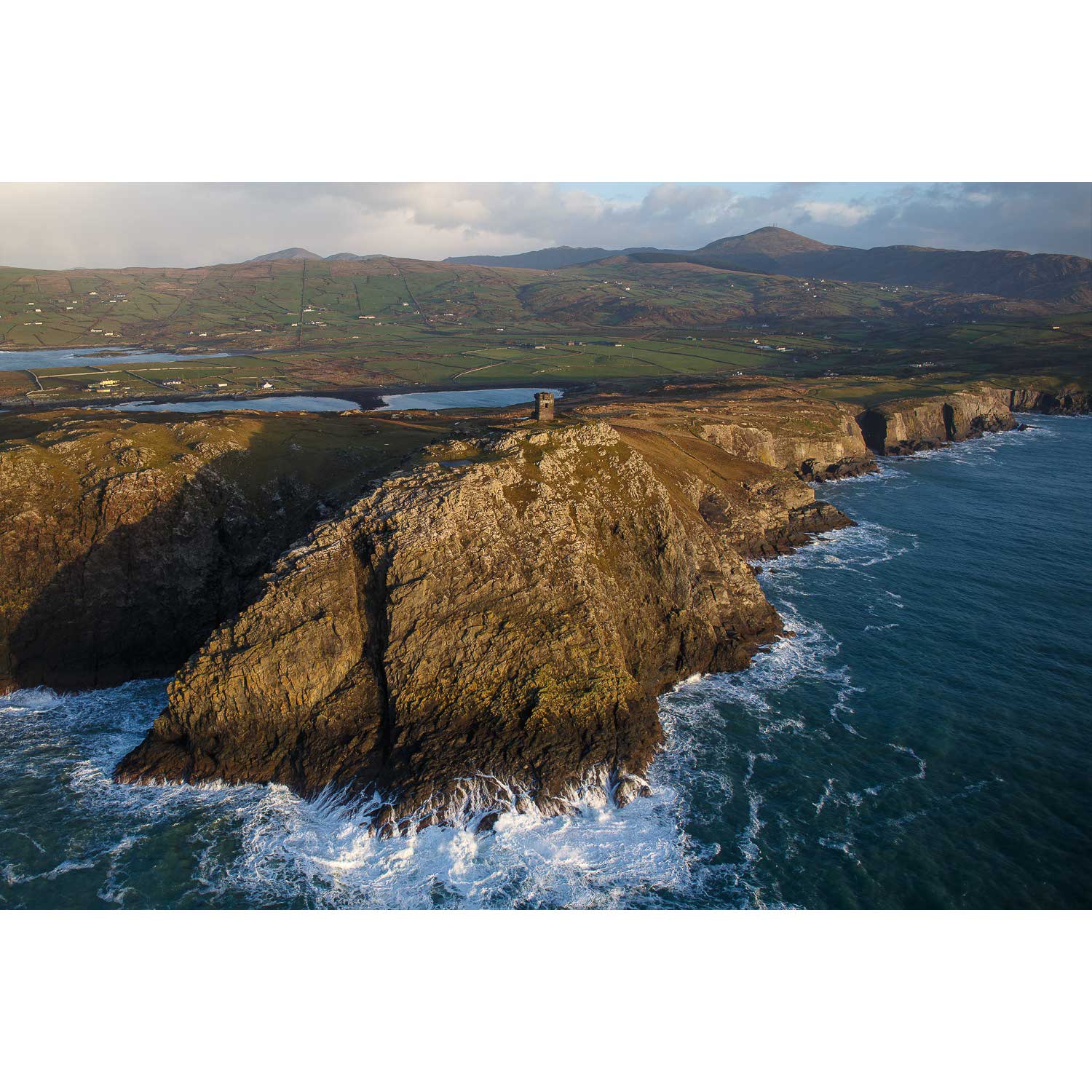
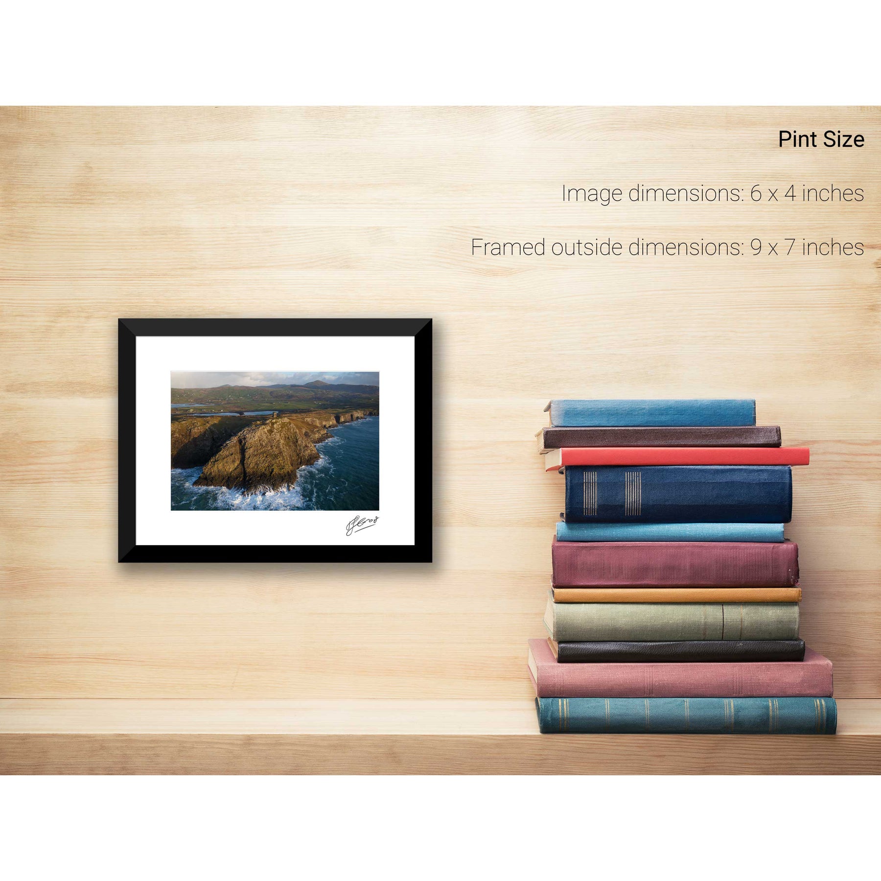
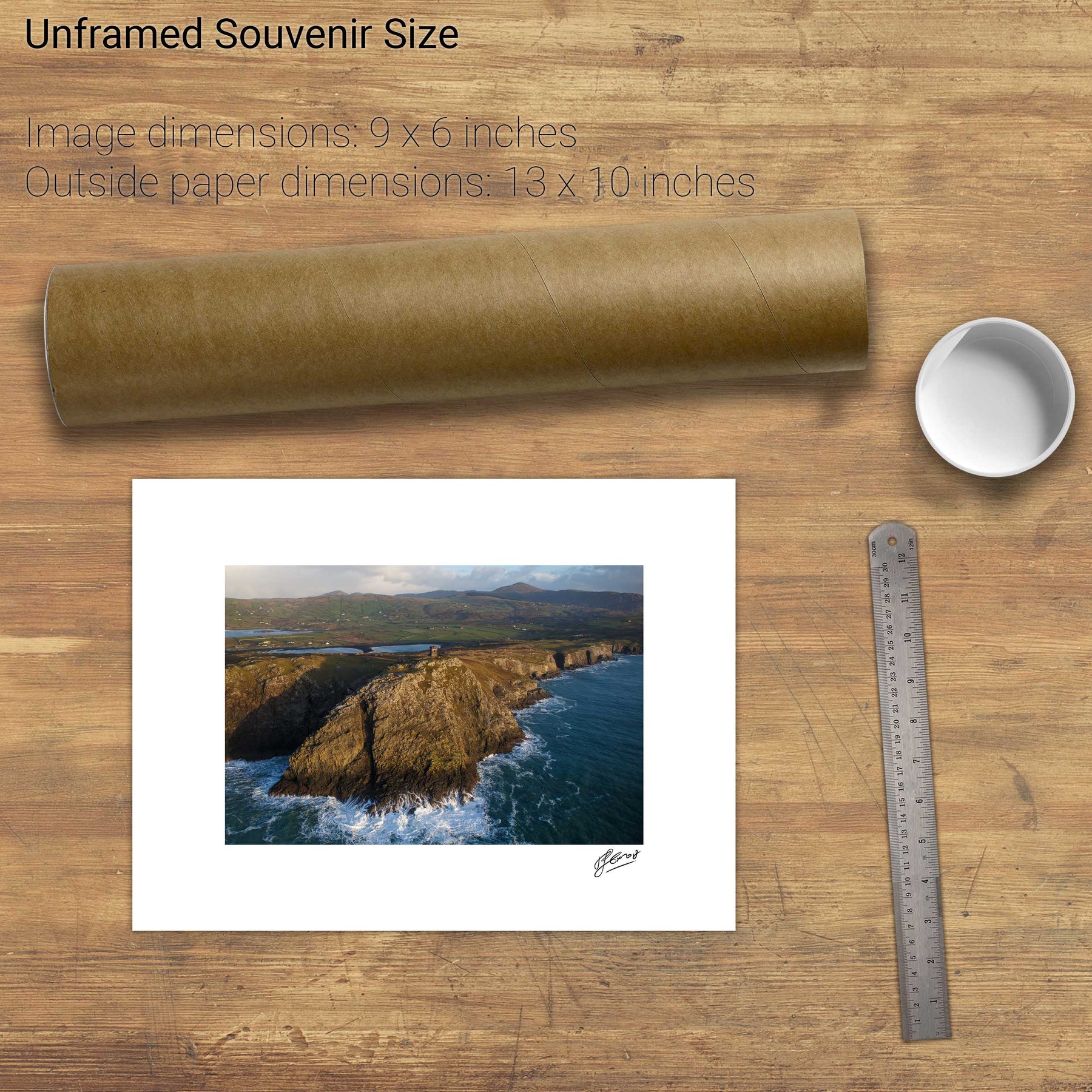
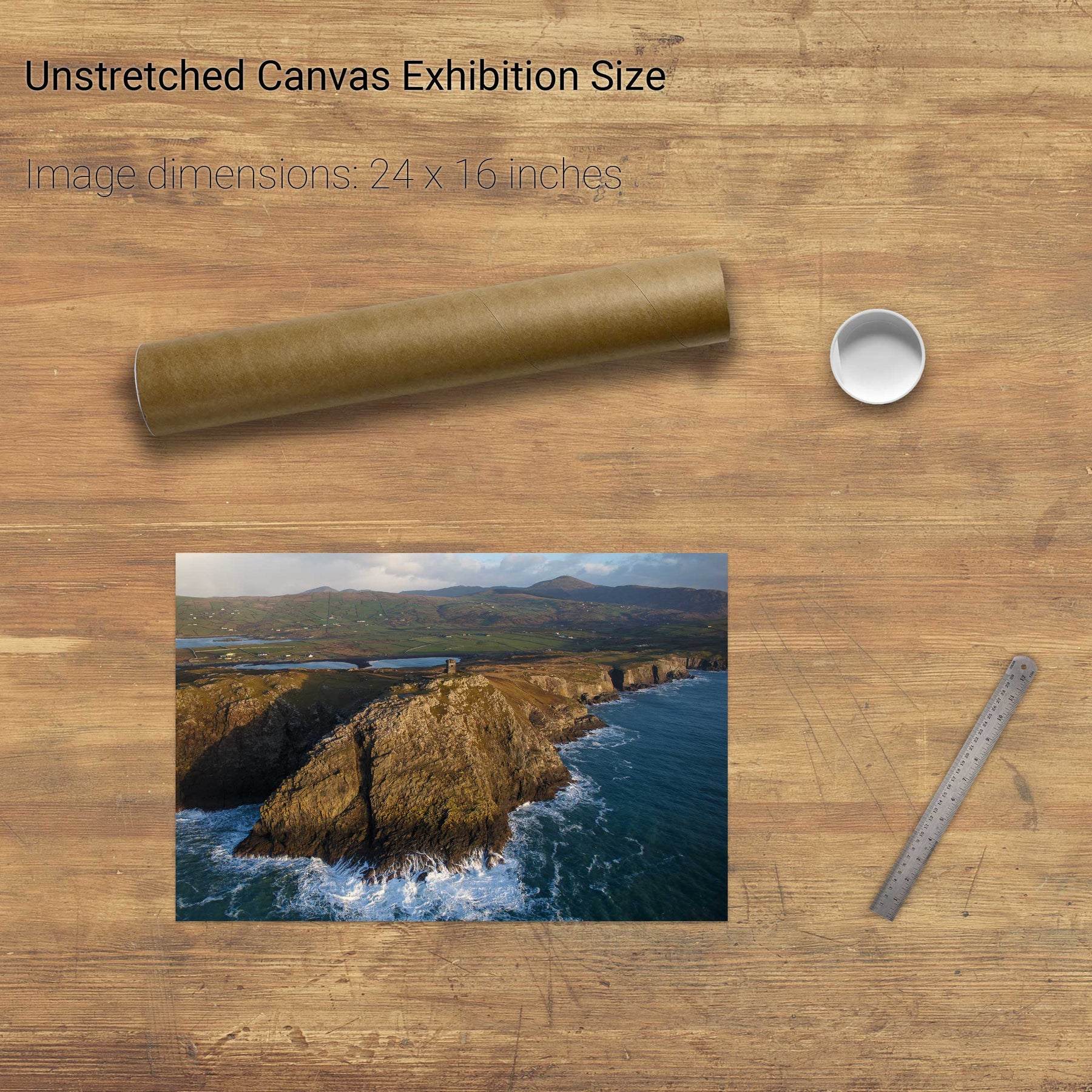
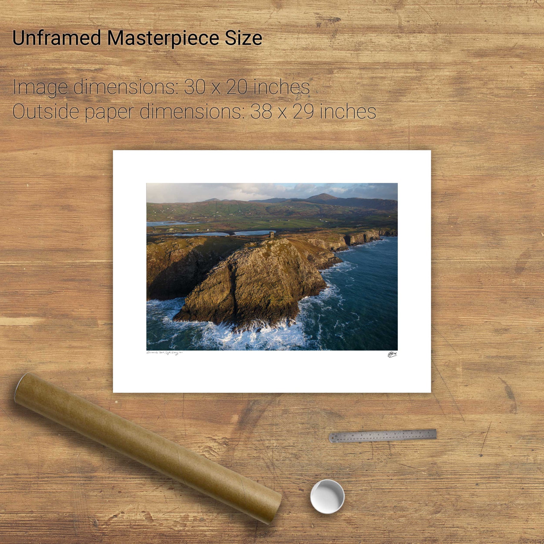
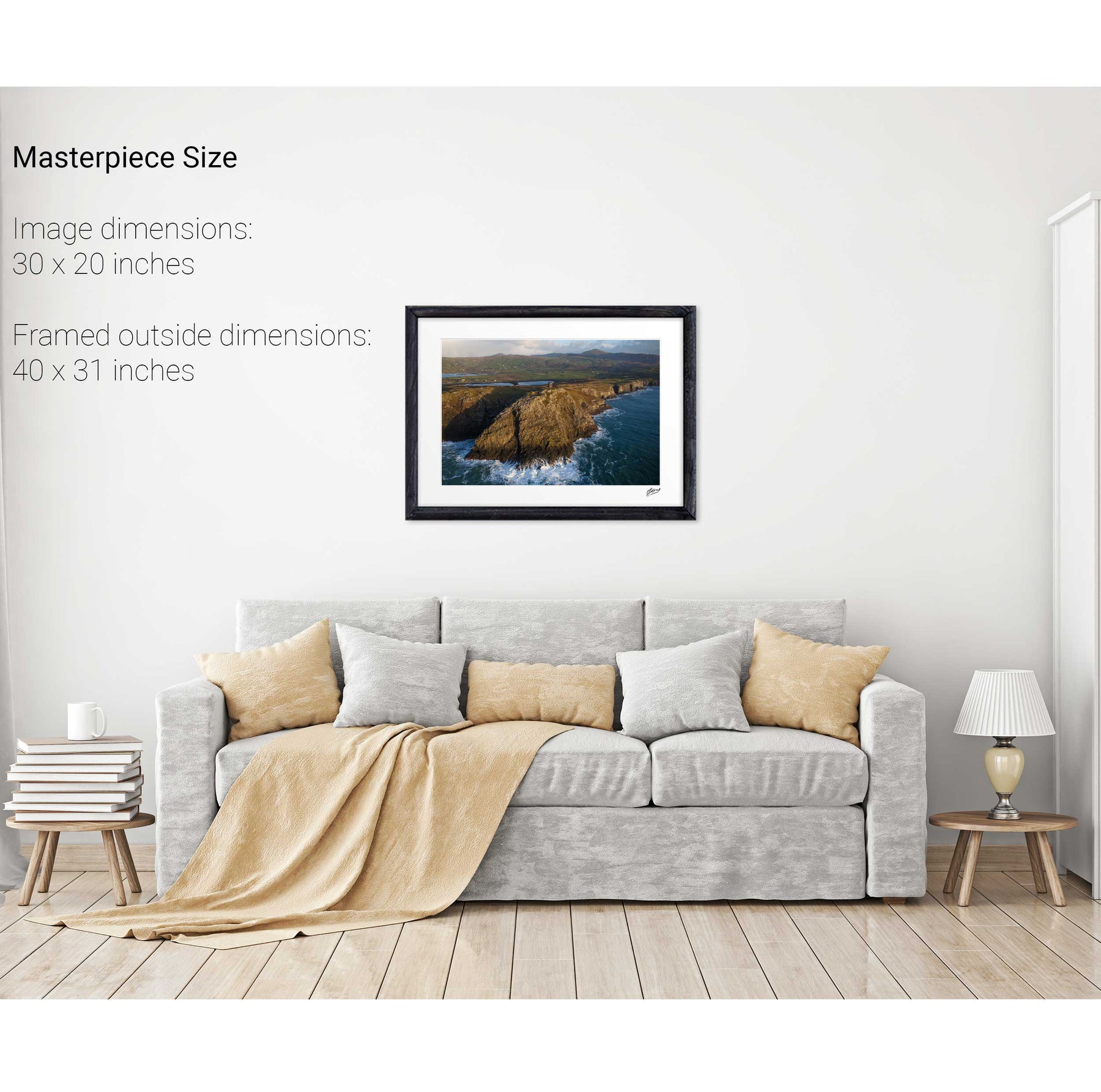
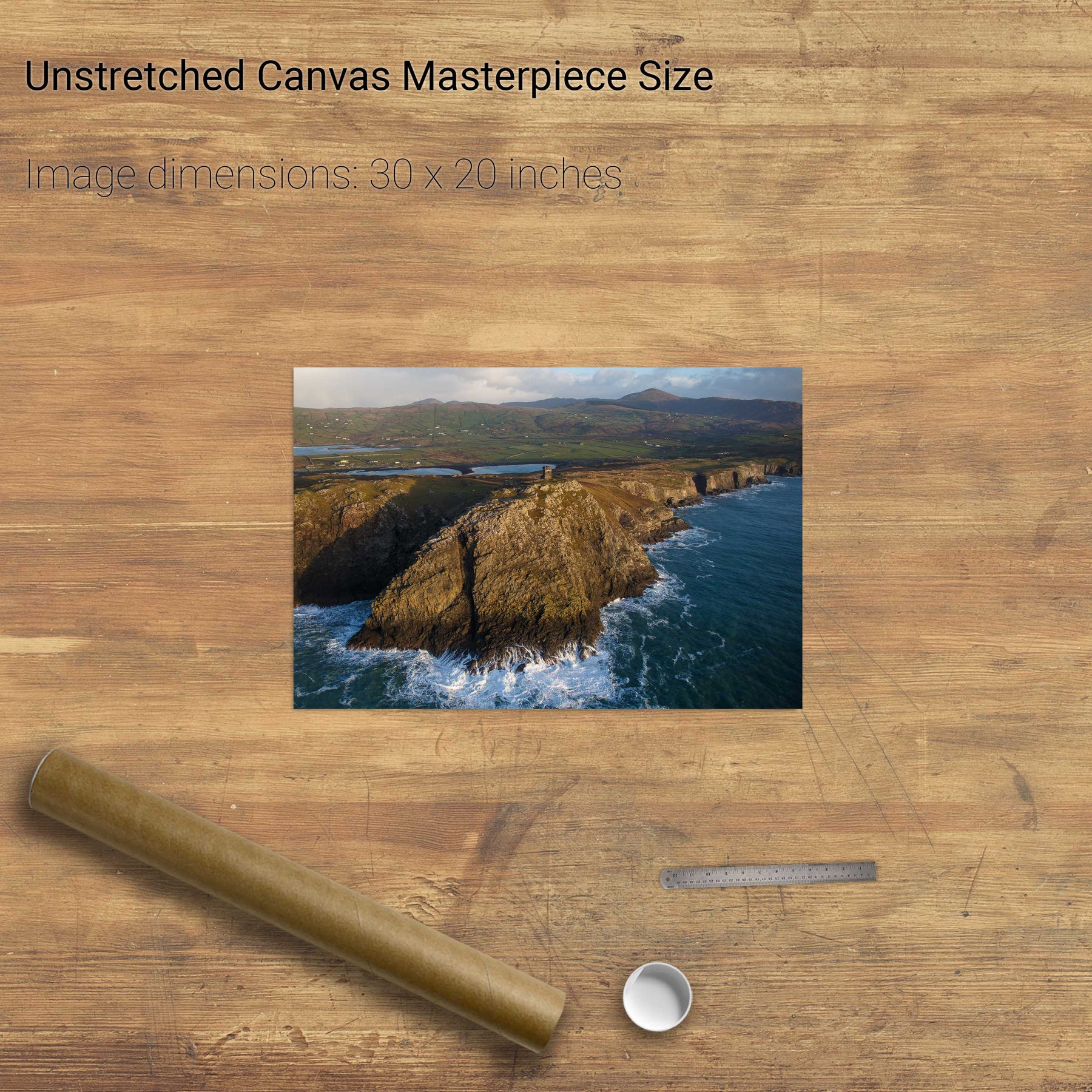
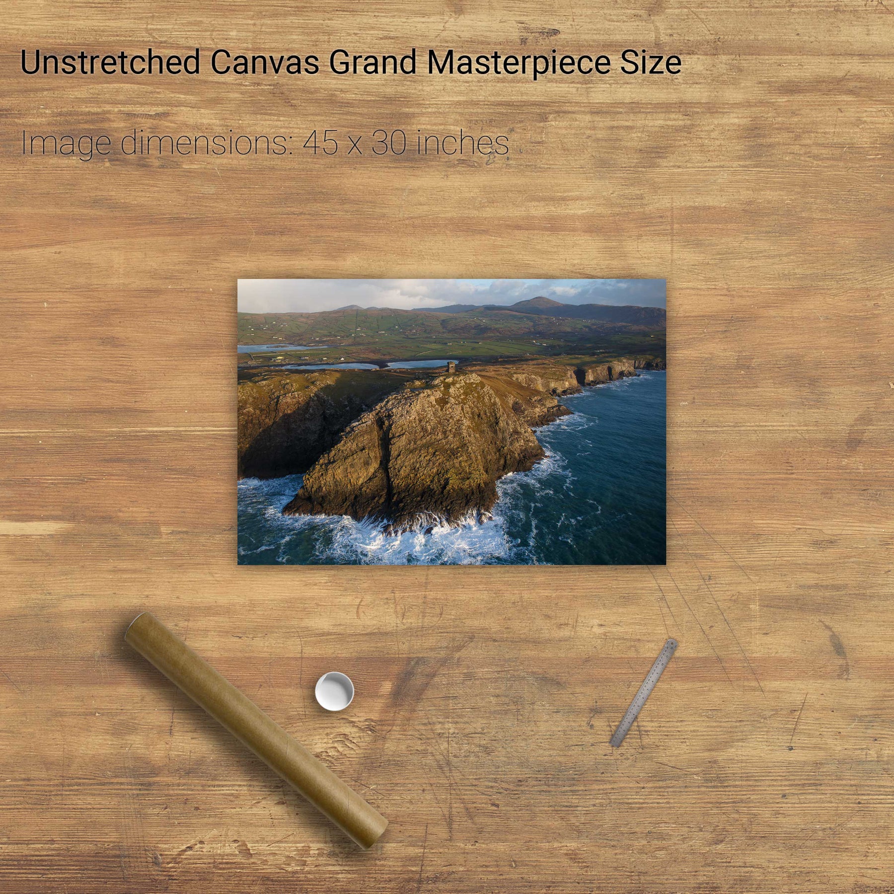
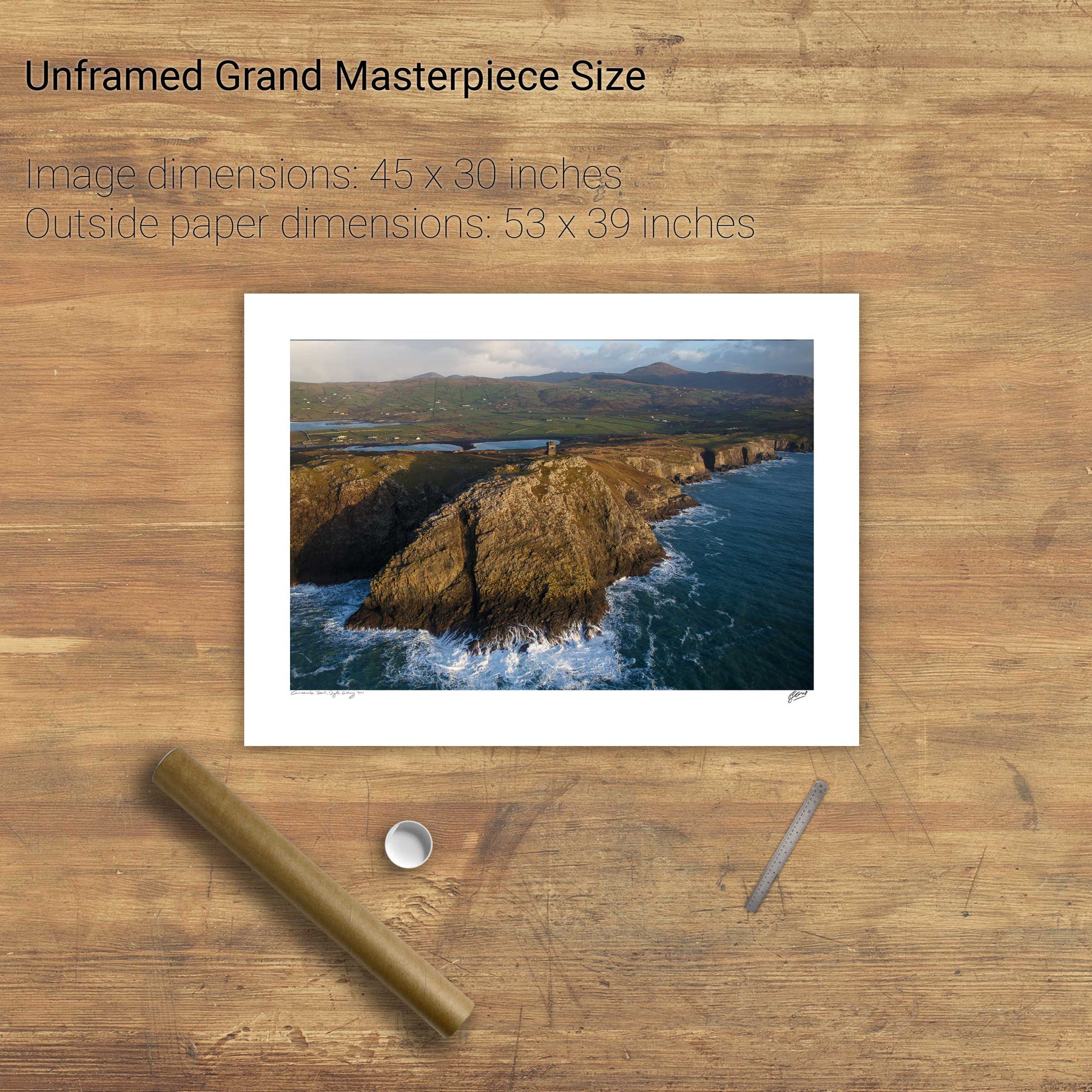
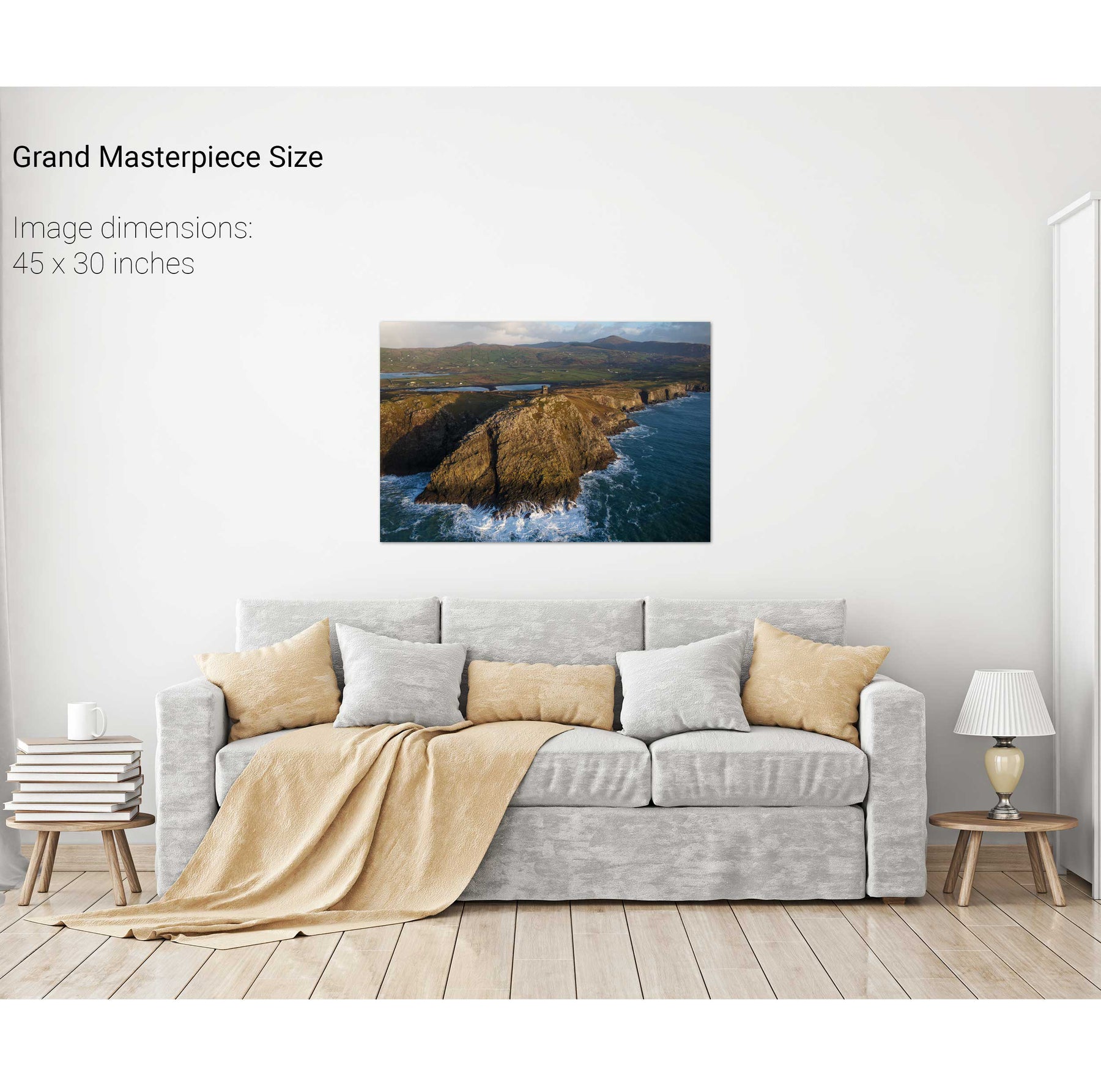
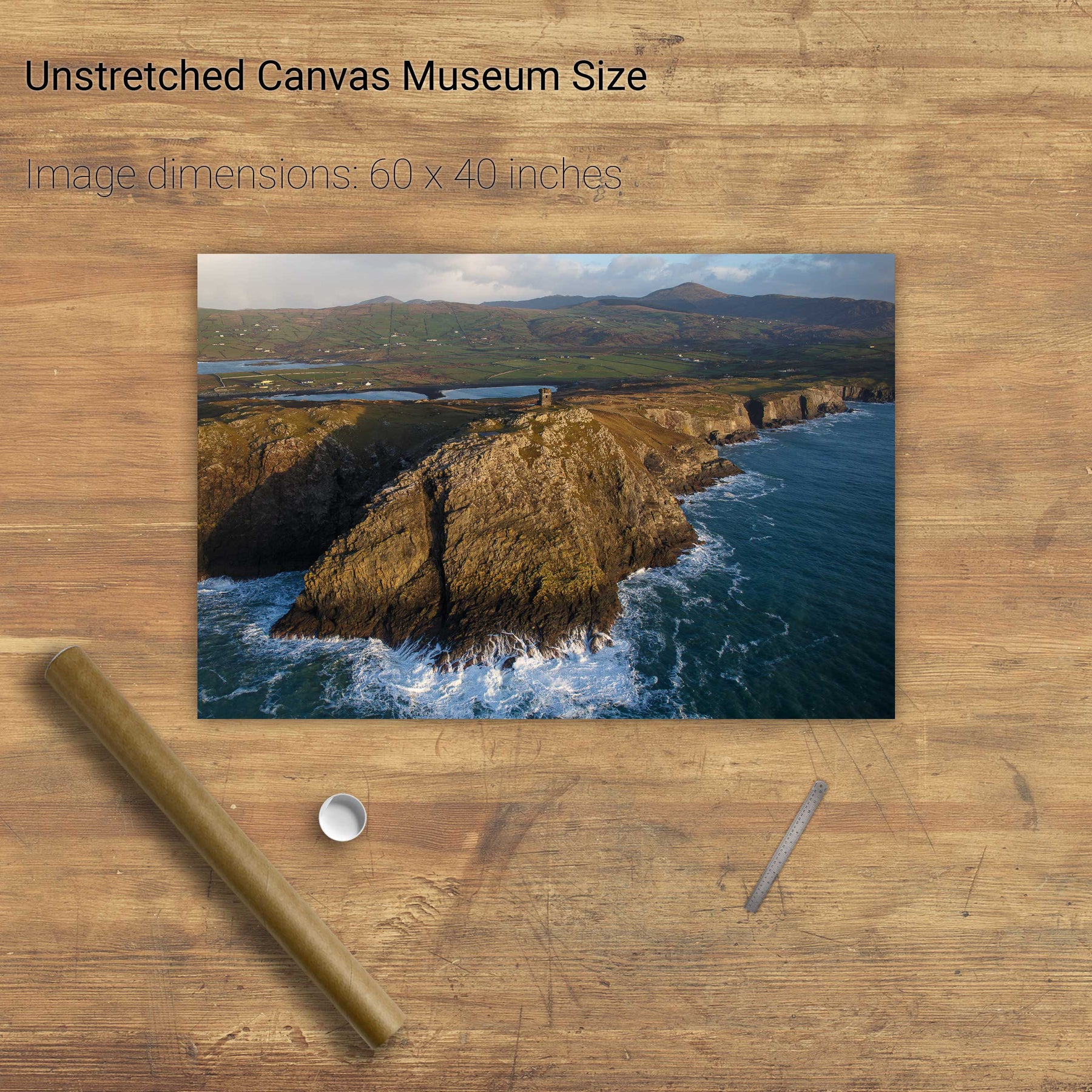
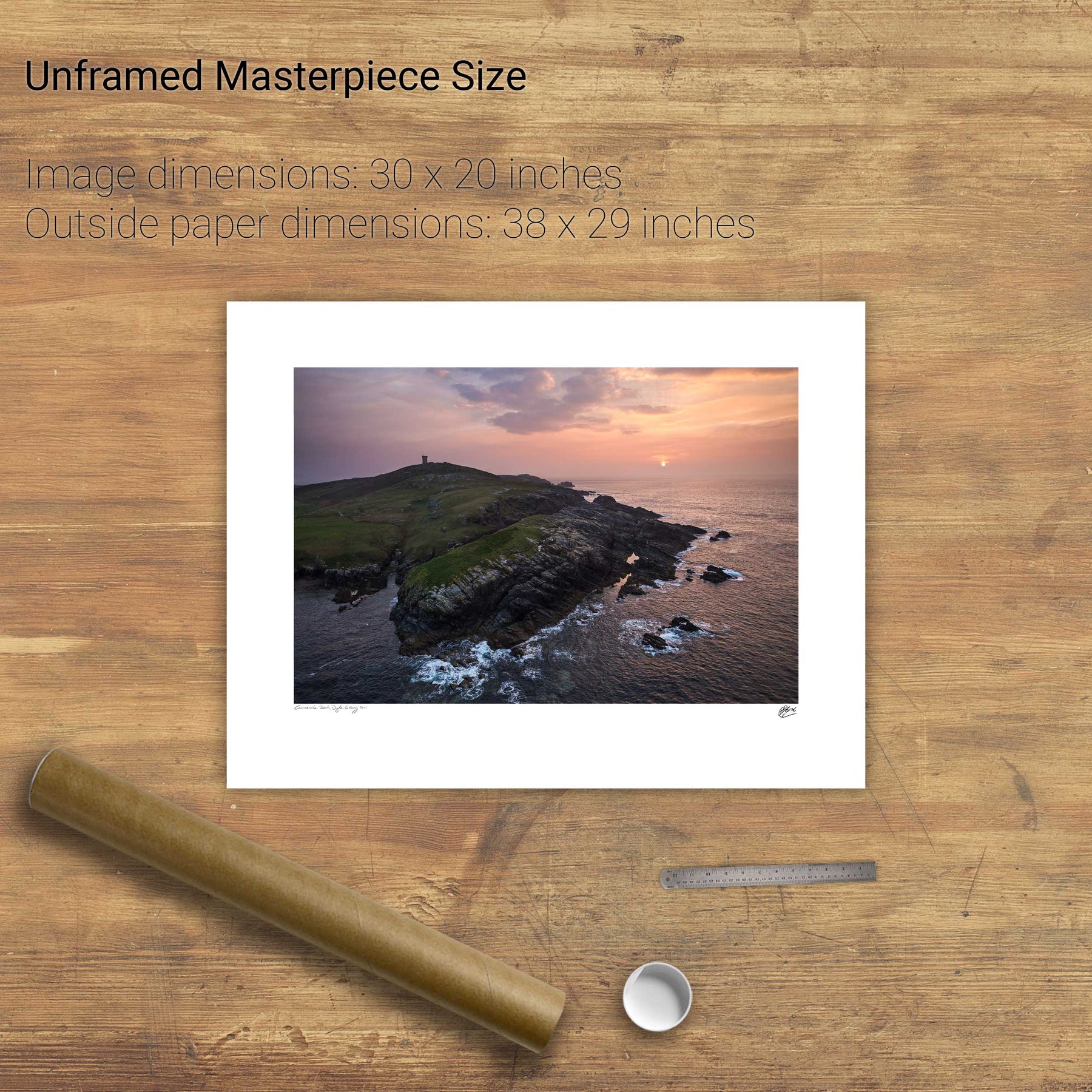
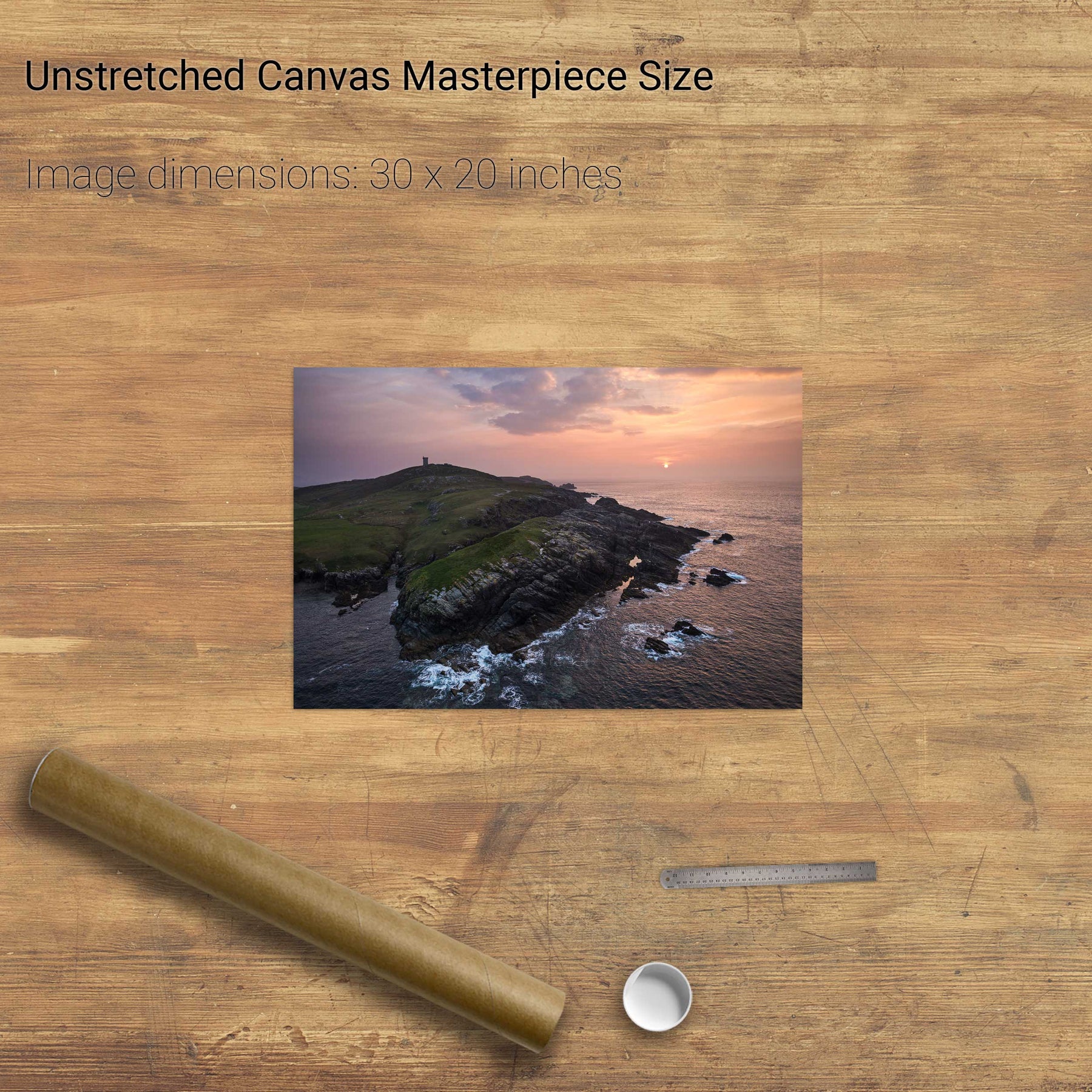
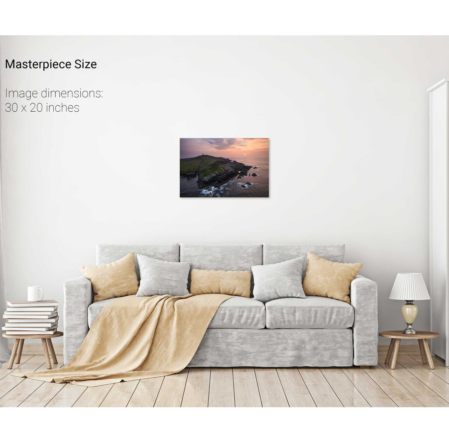
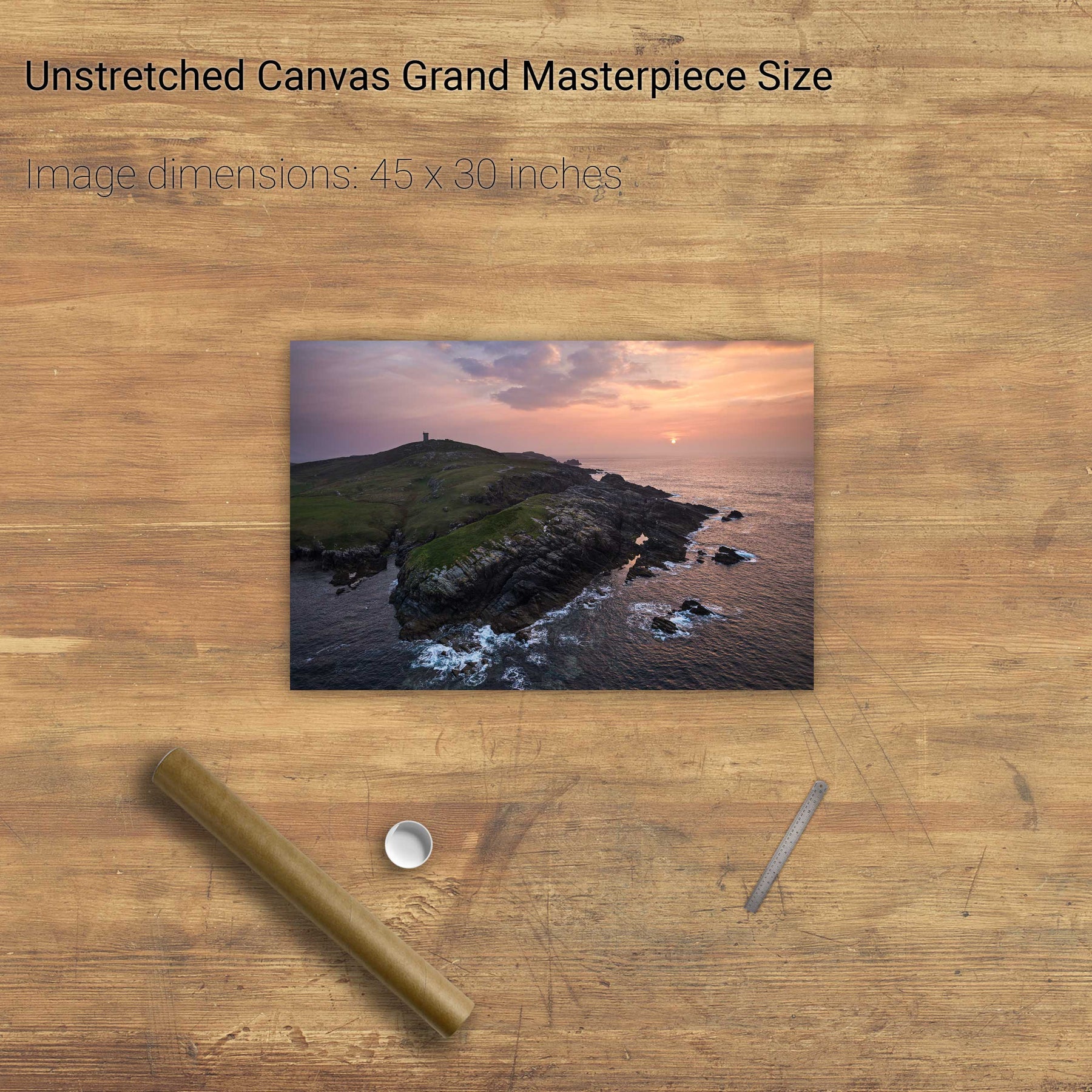
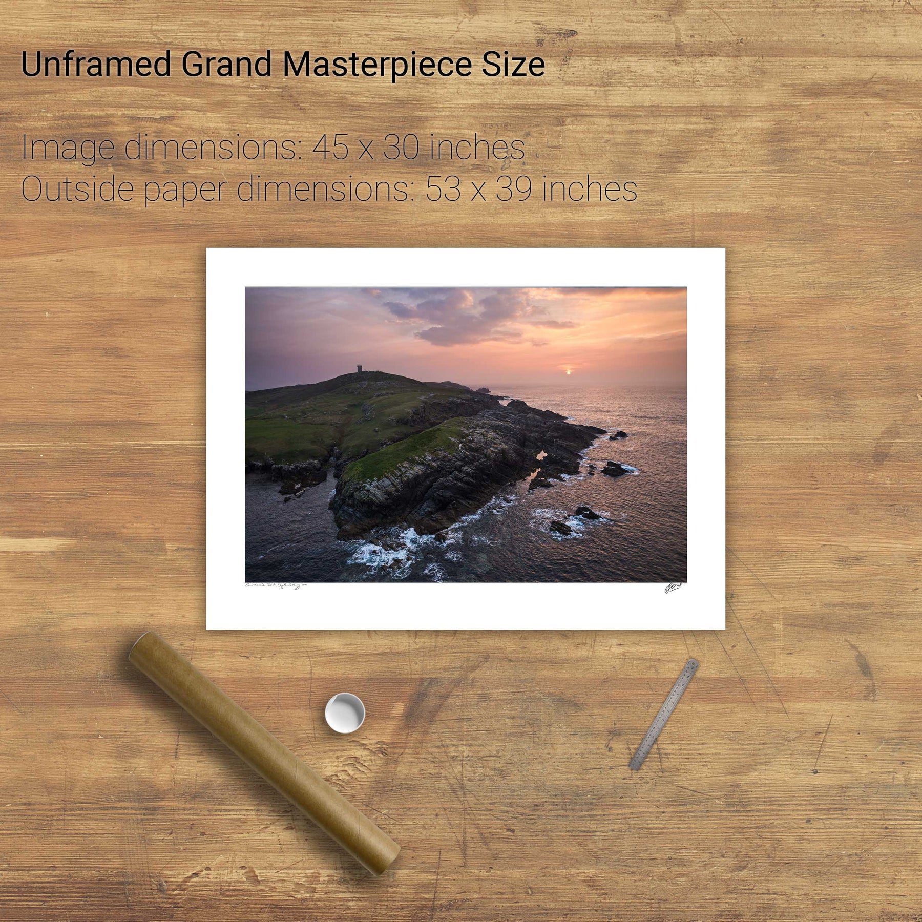
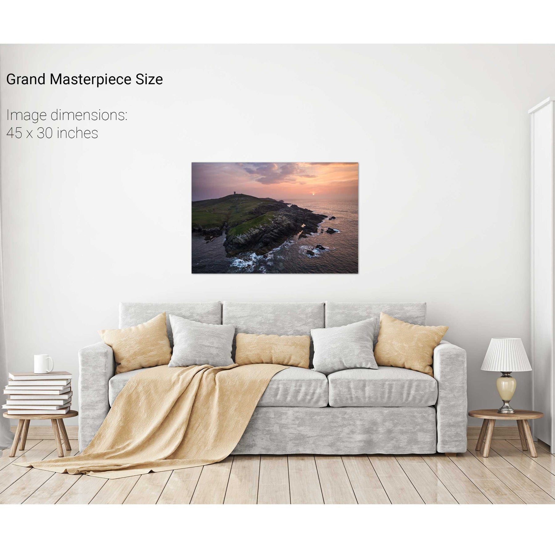
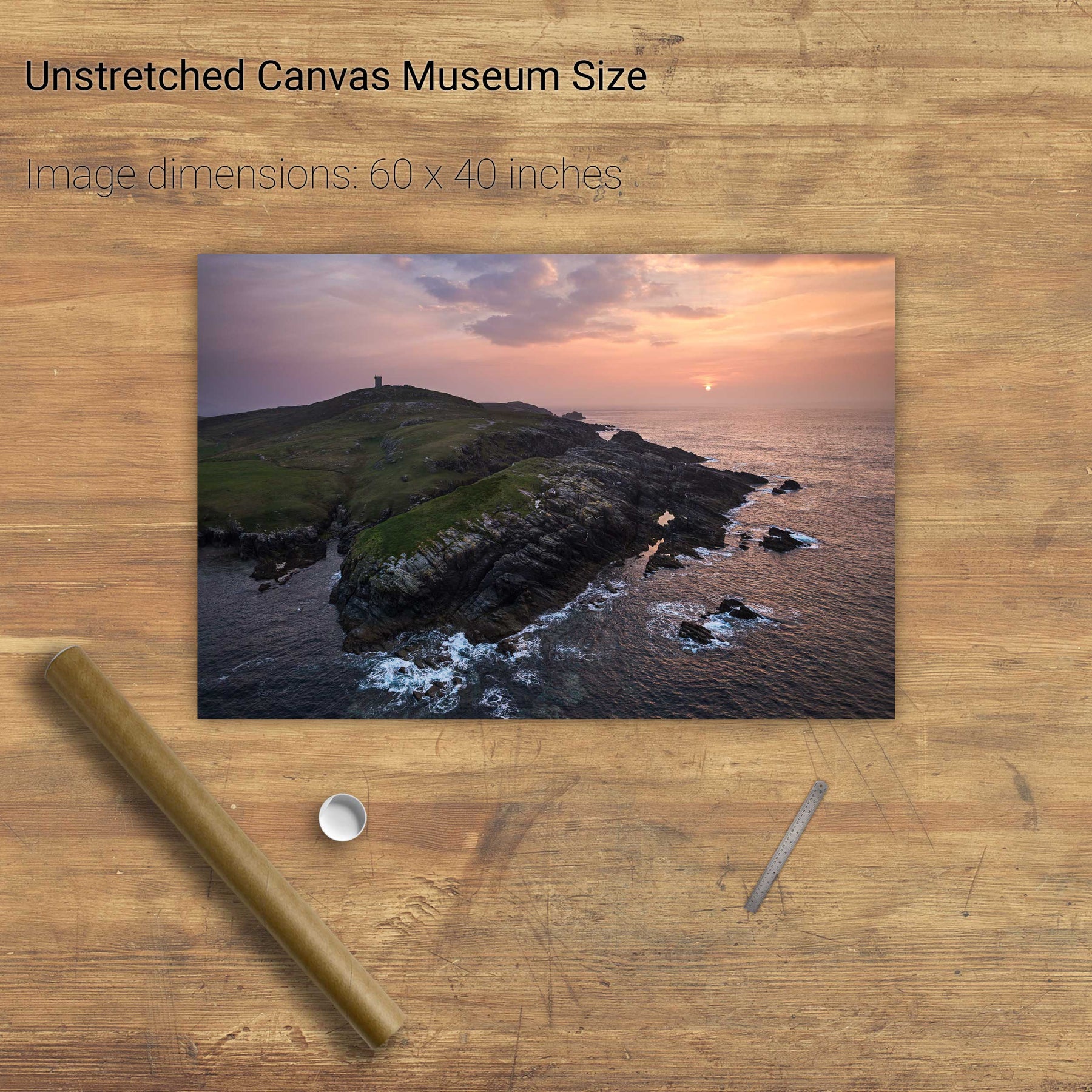
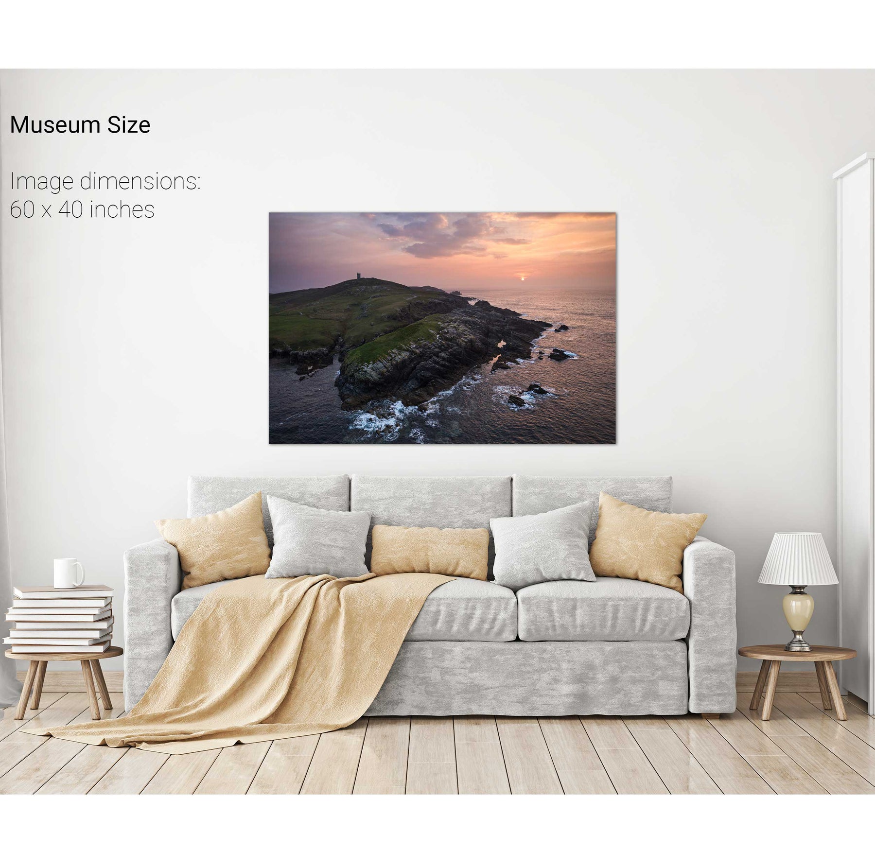
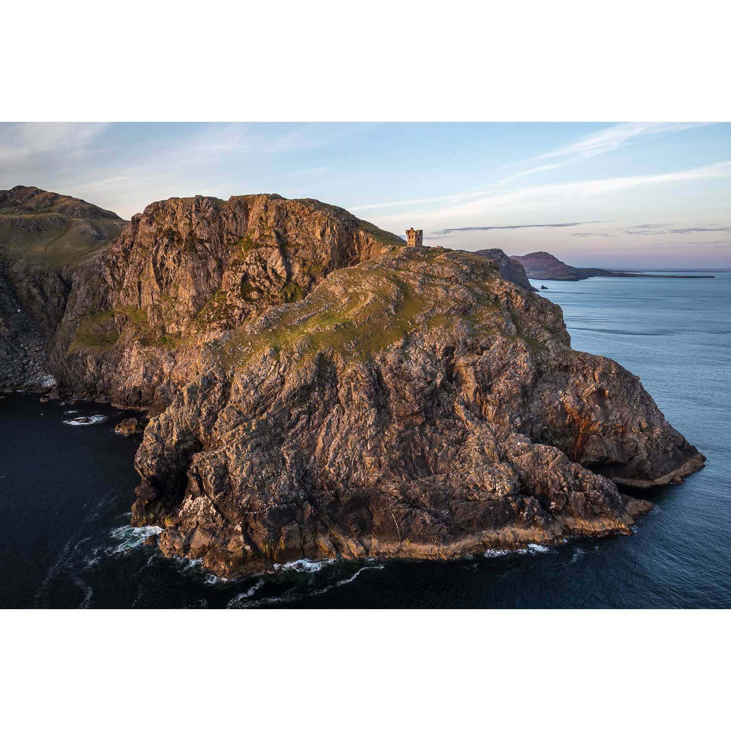
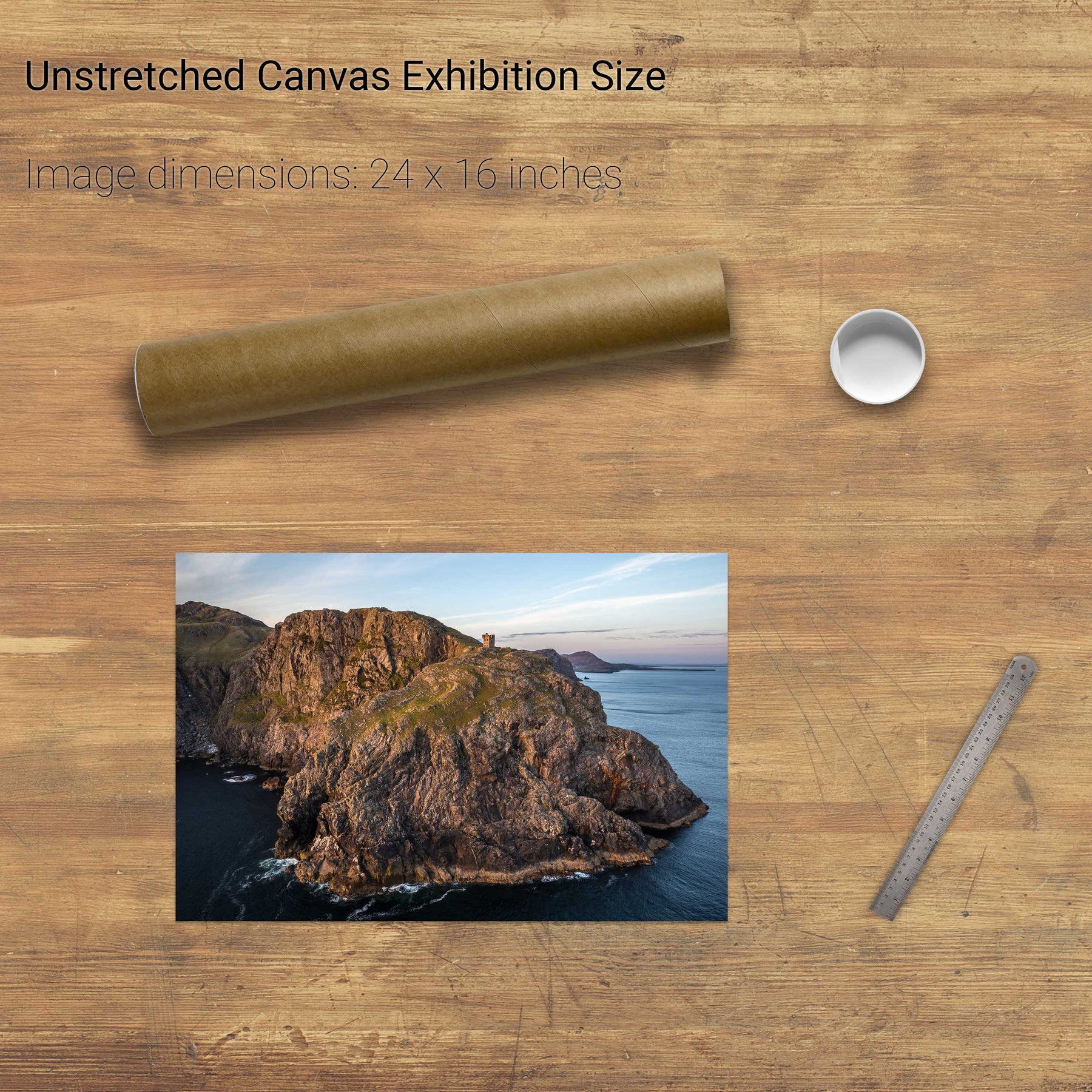
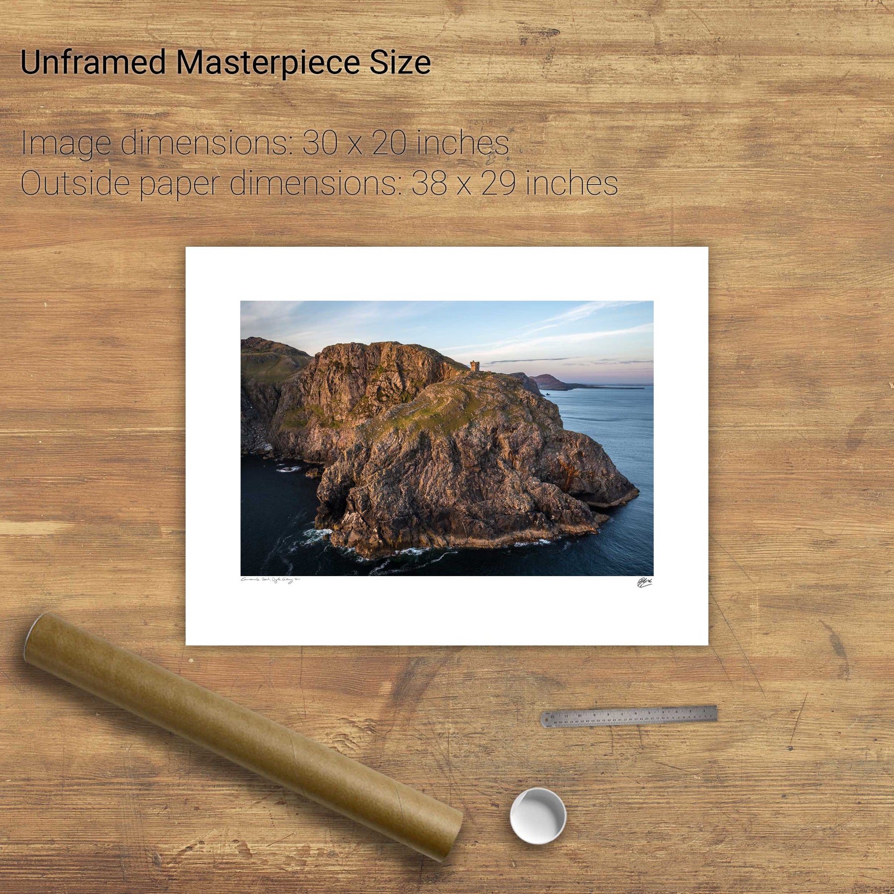
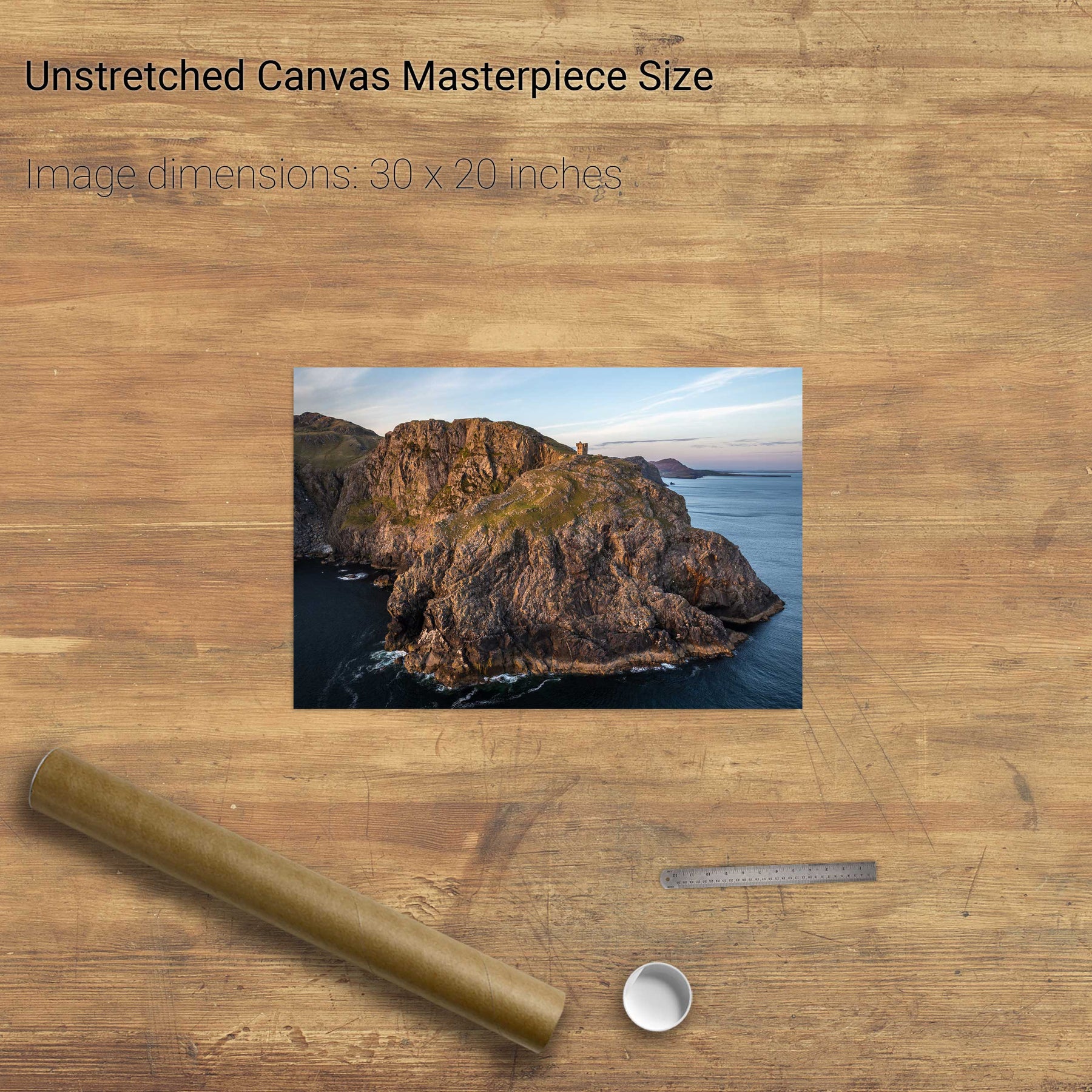
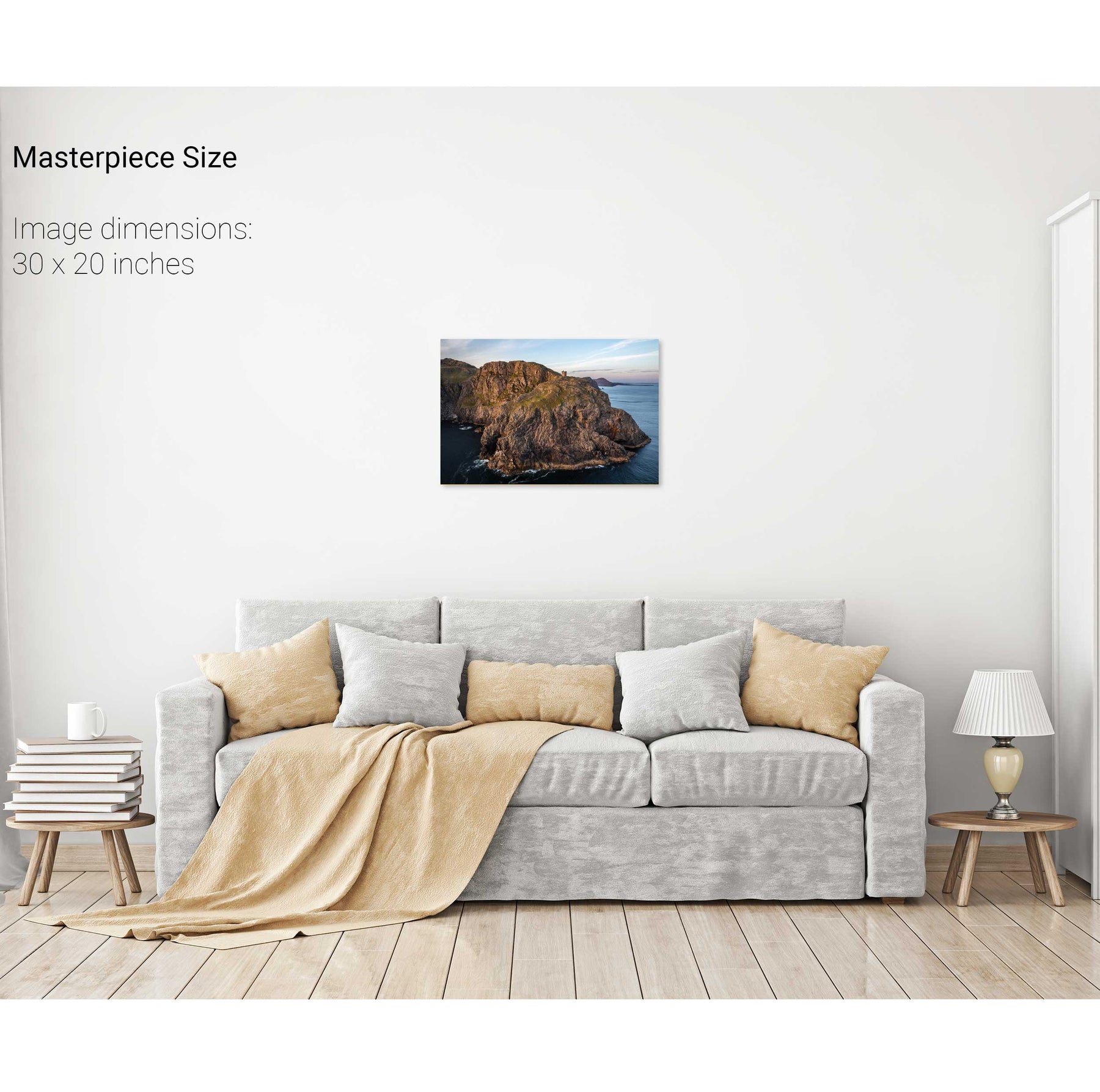
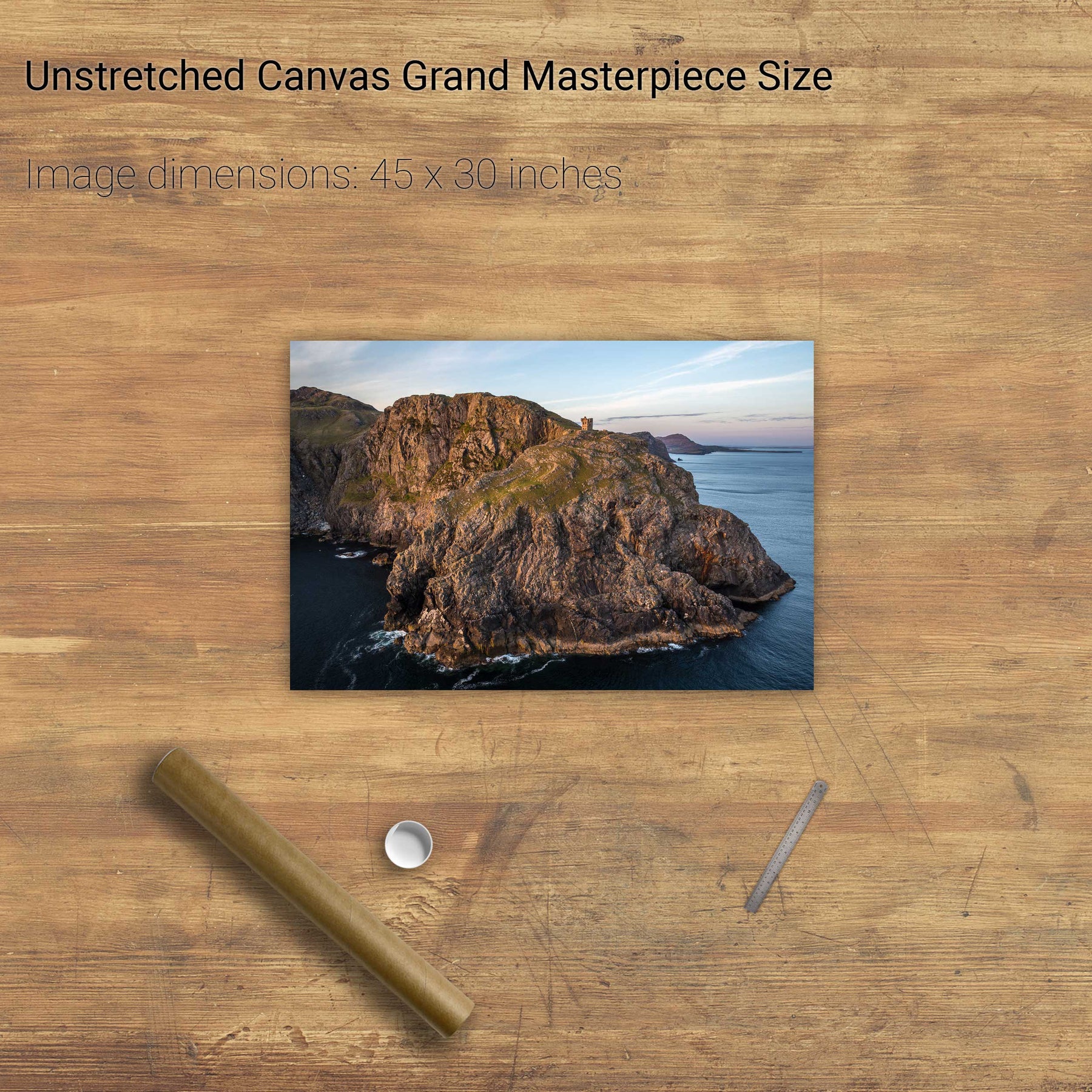
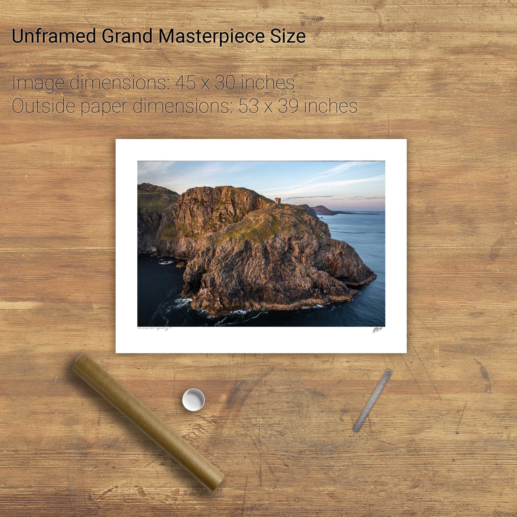
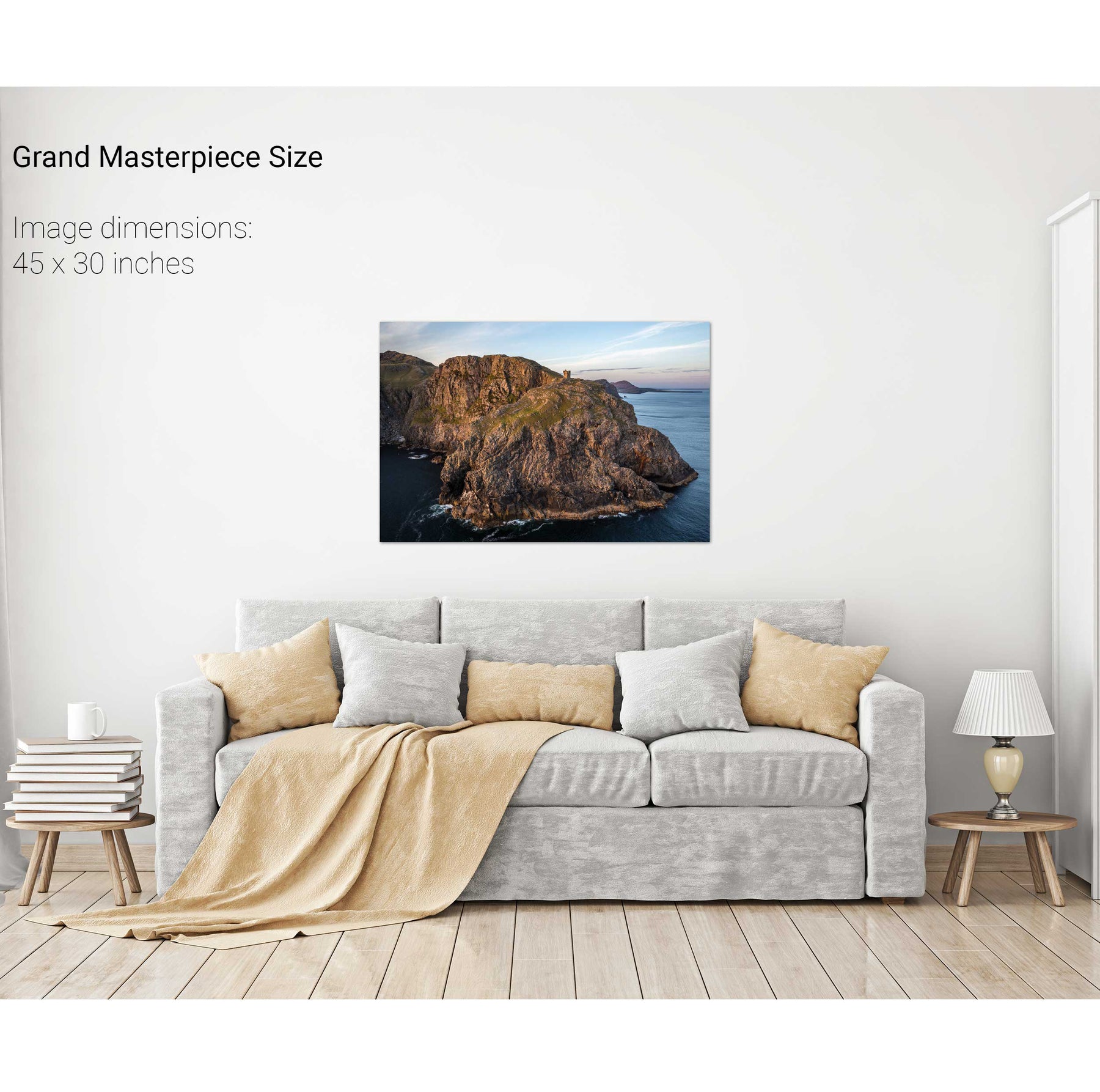
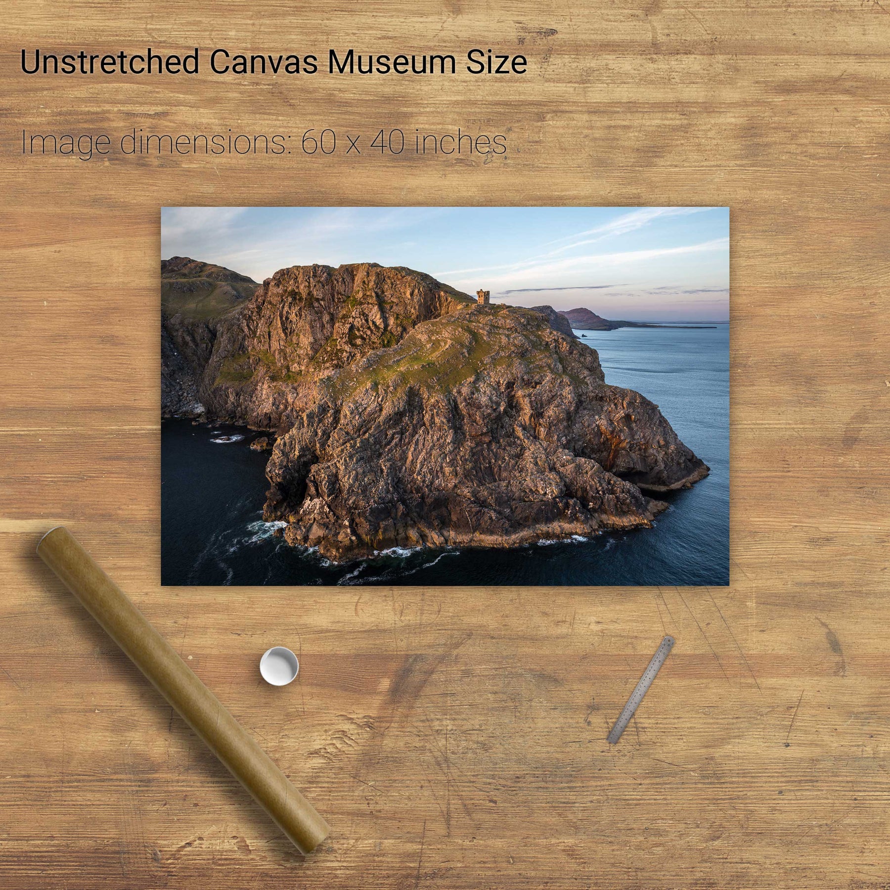
Napoleonic watch tower, Slieve League, Co. Donegal
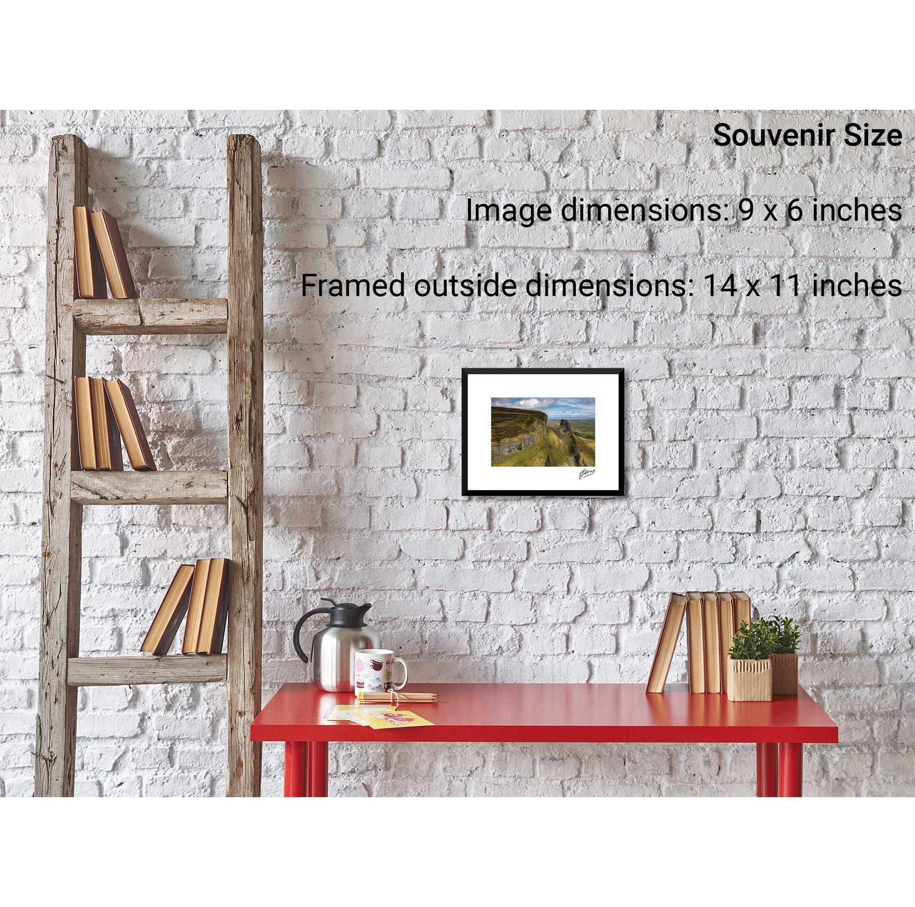
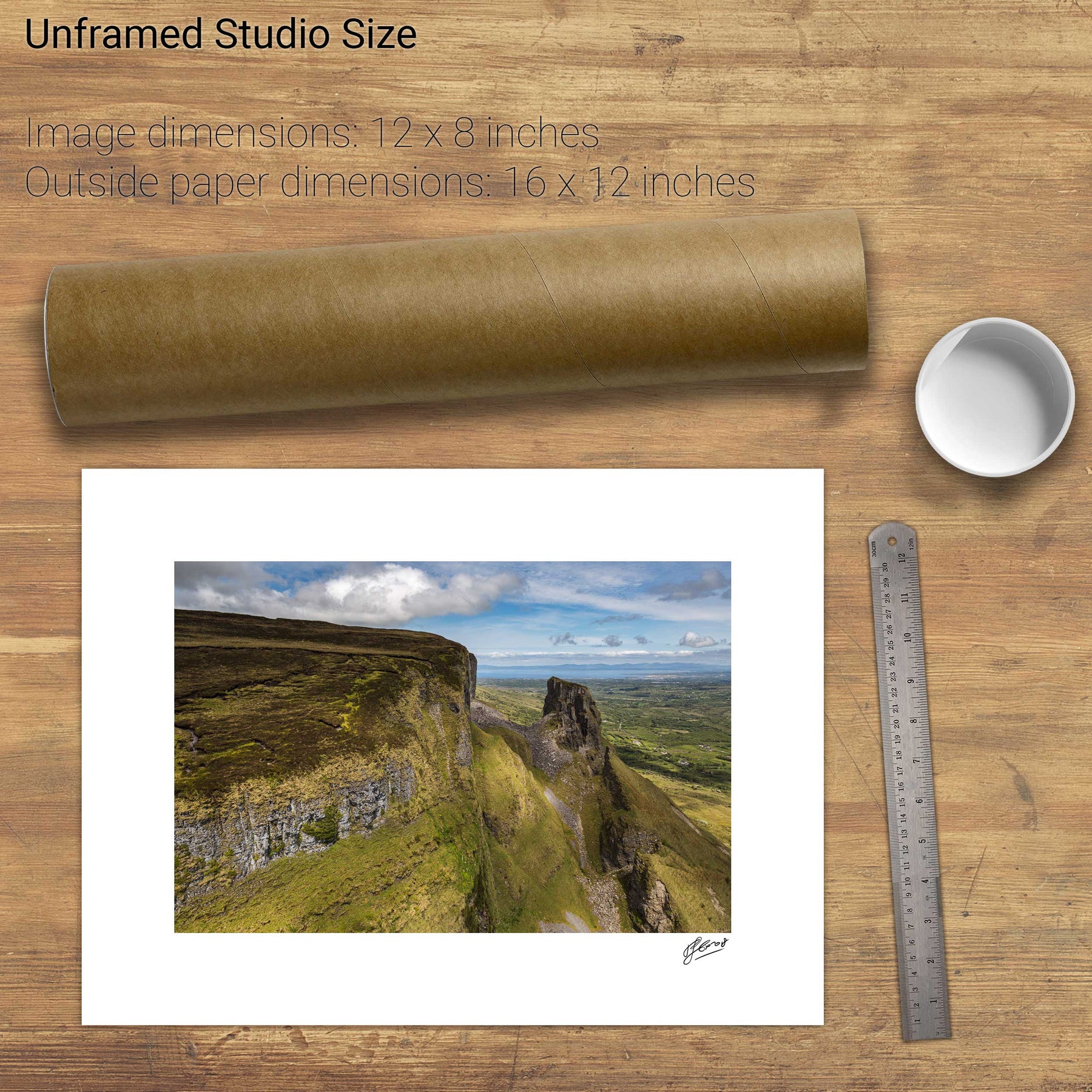
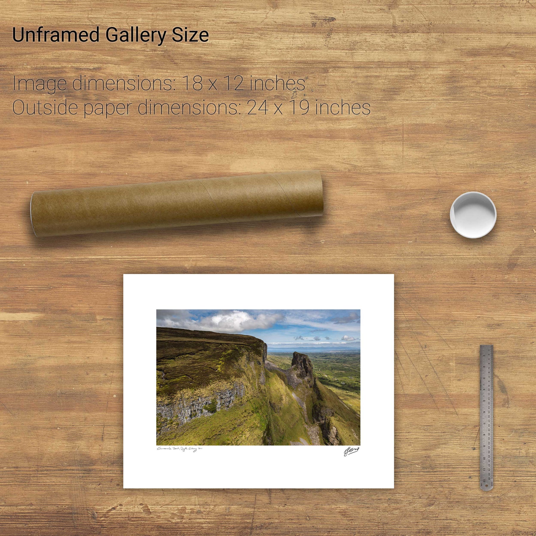
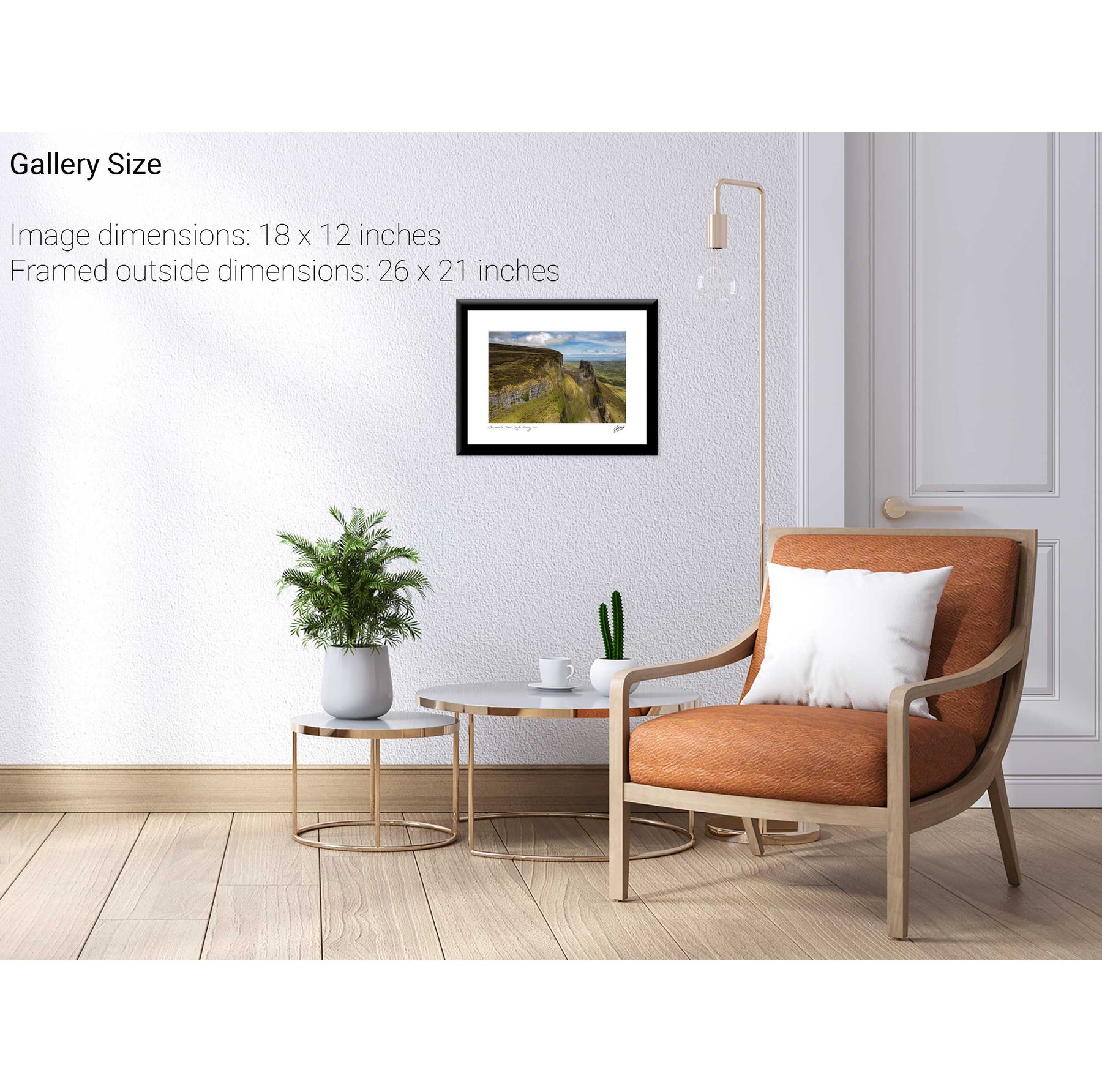
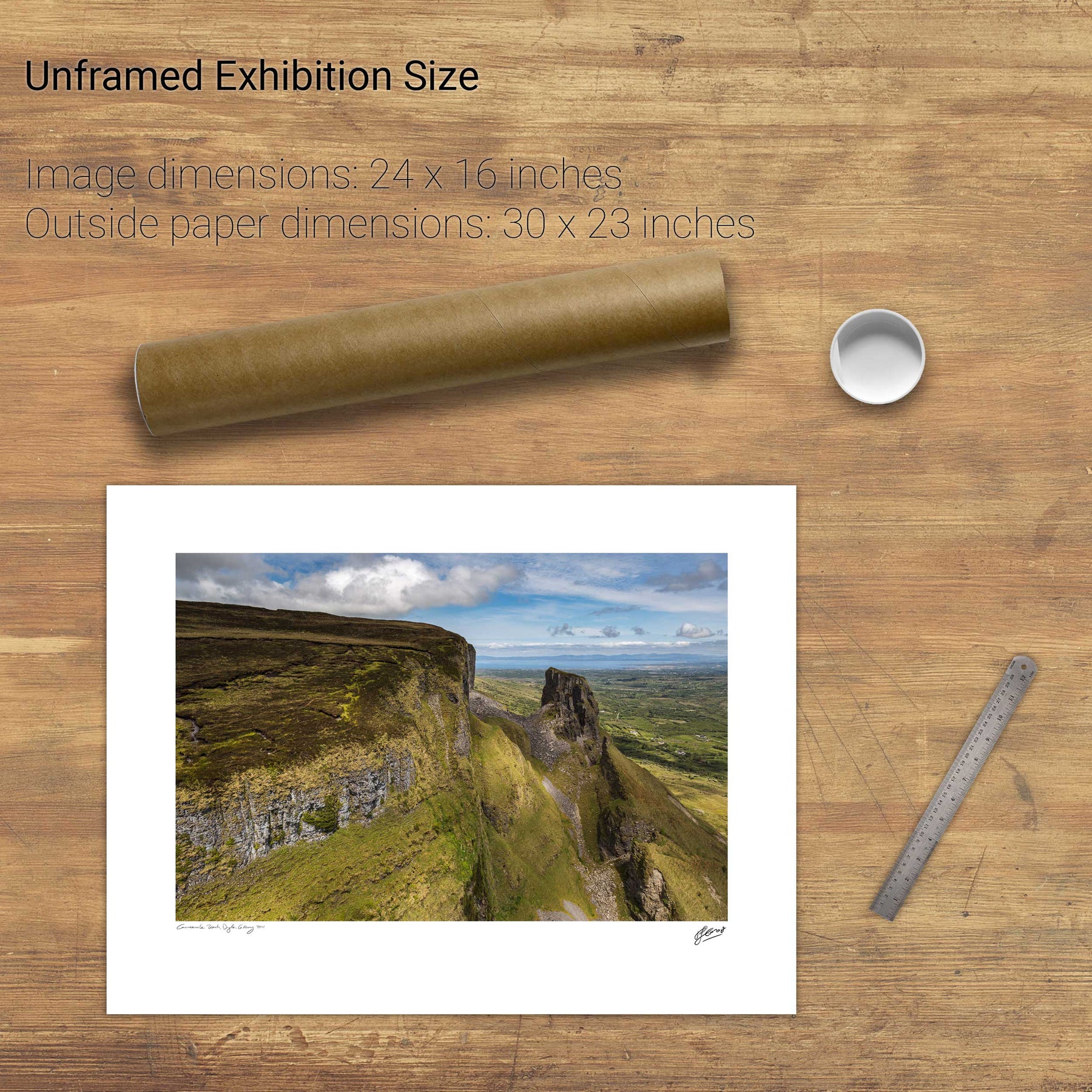
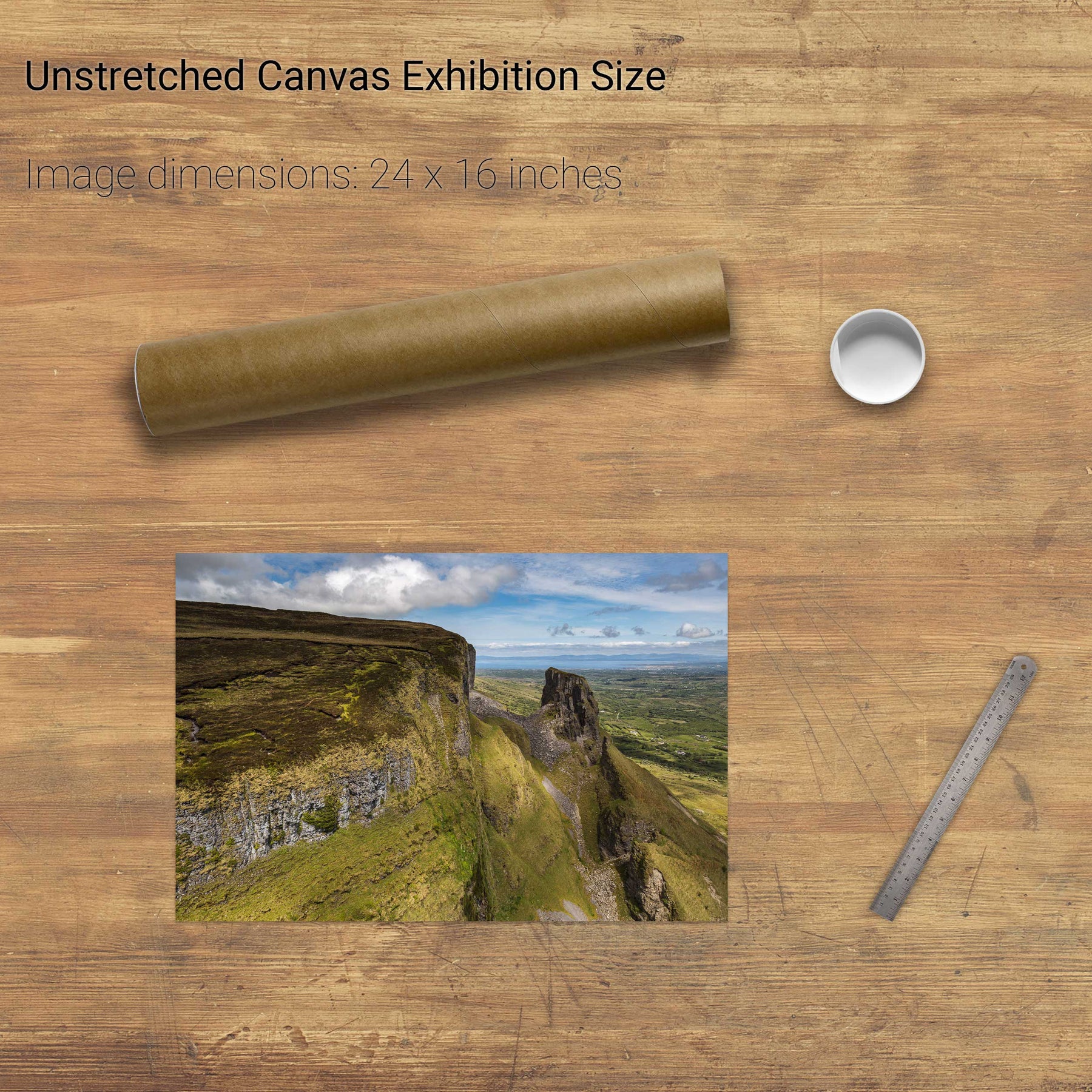
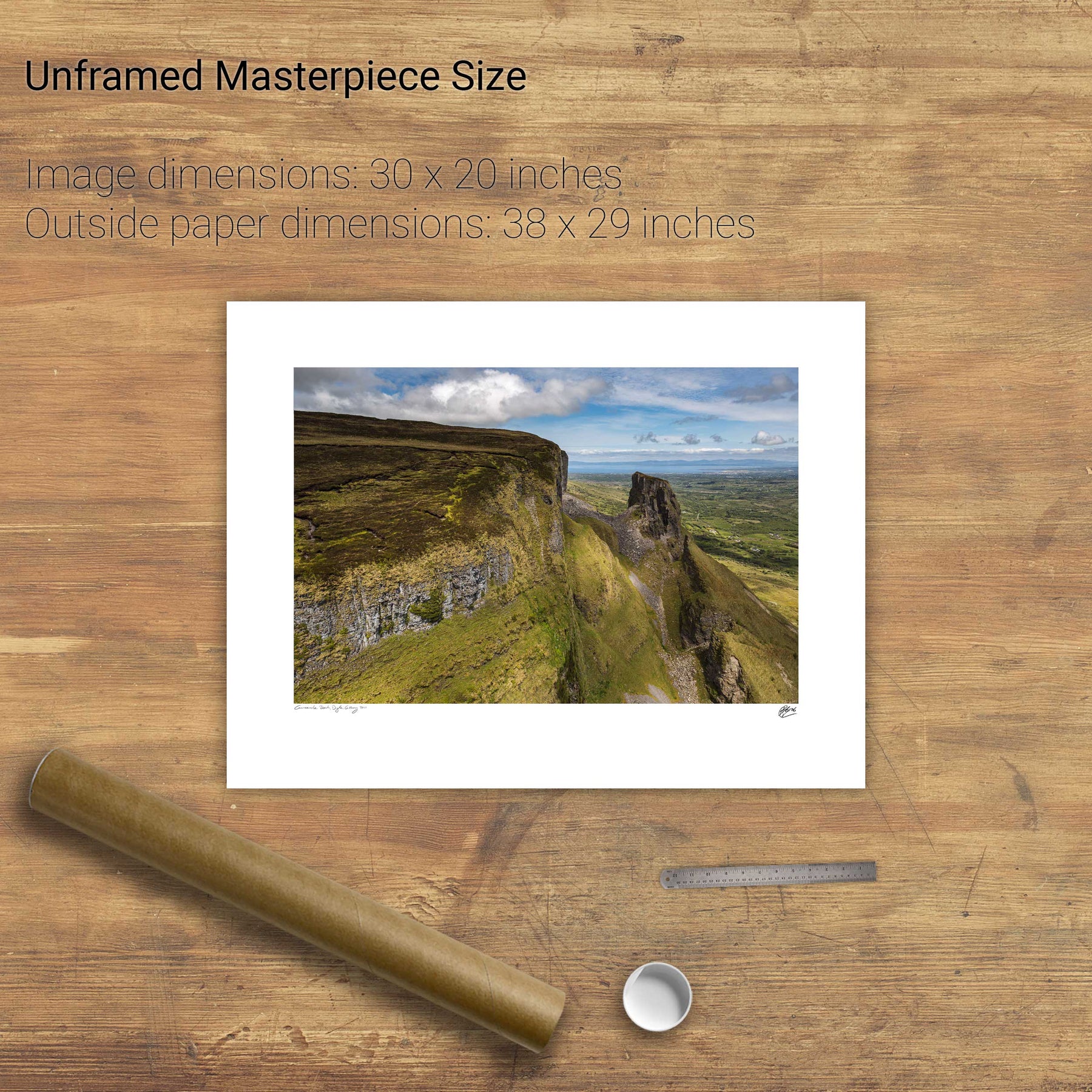
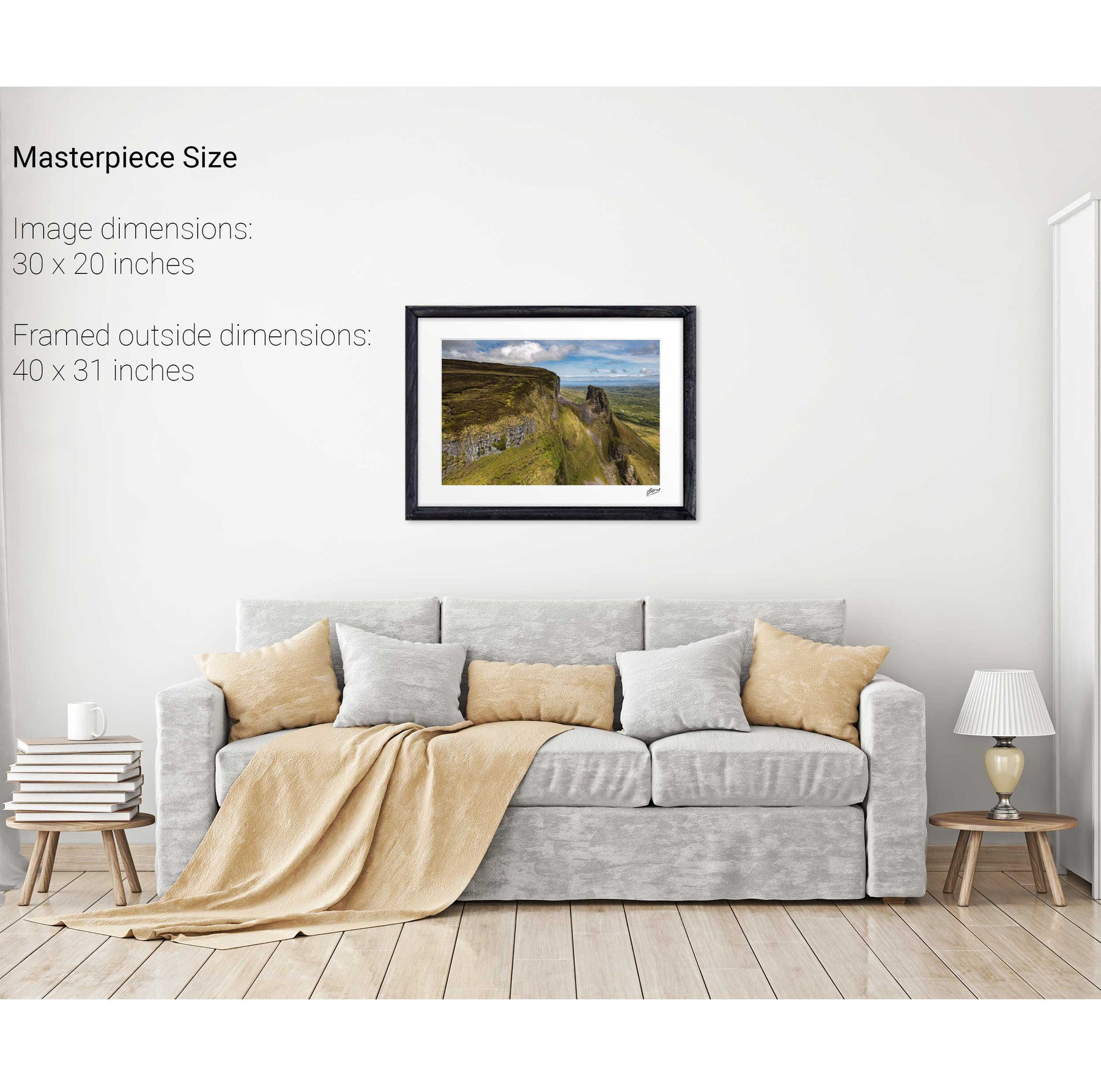
Eagle's Rock, Co. Leitrim